Hiking the Presidential Traverse
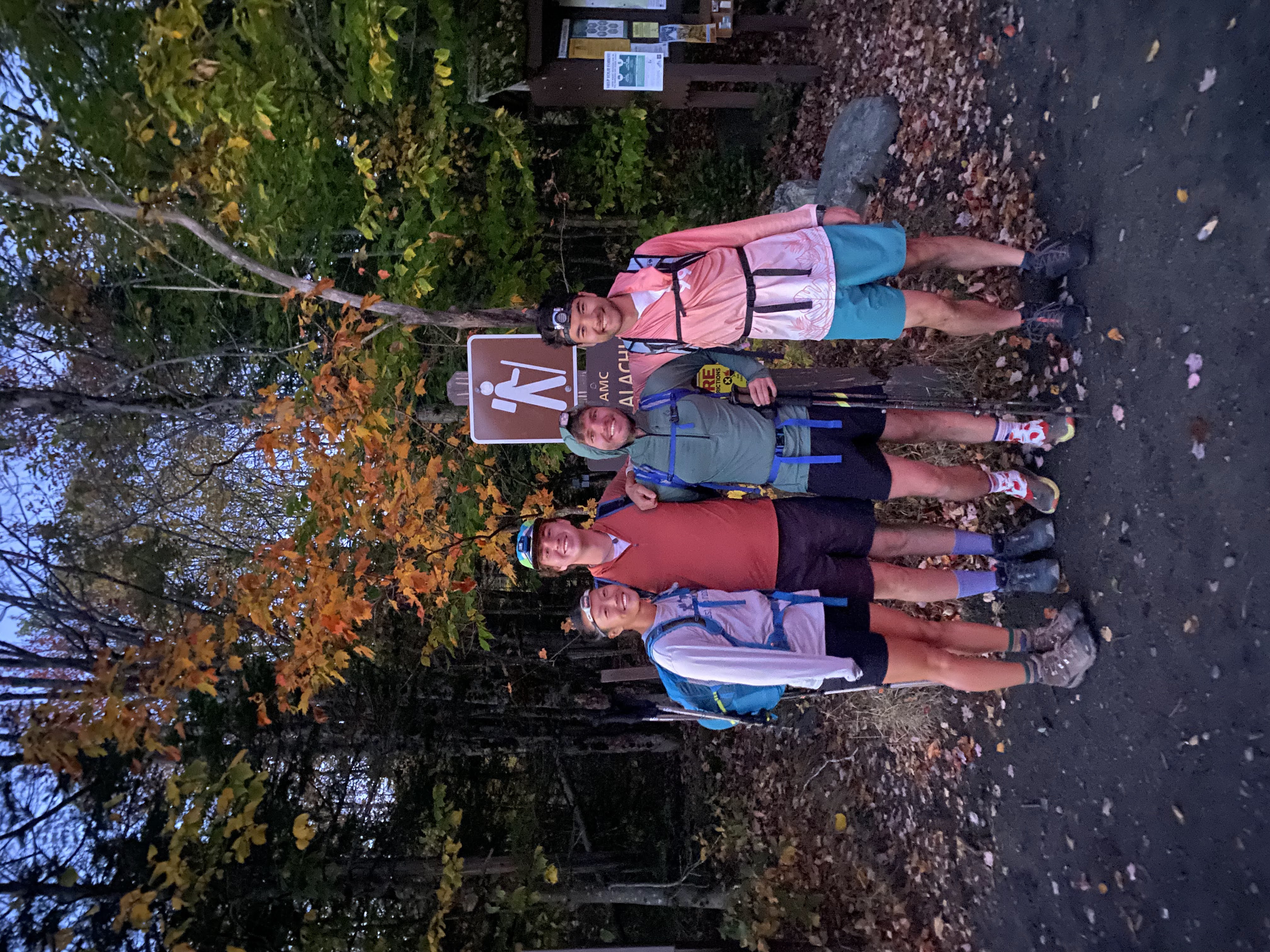
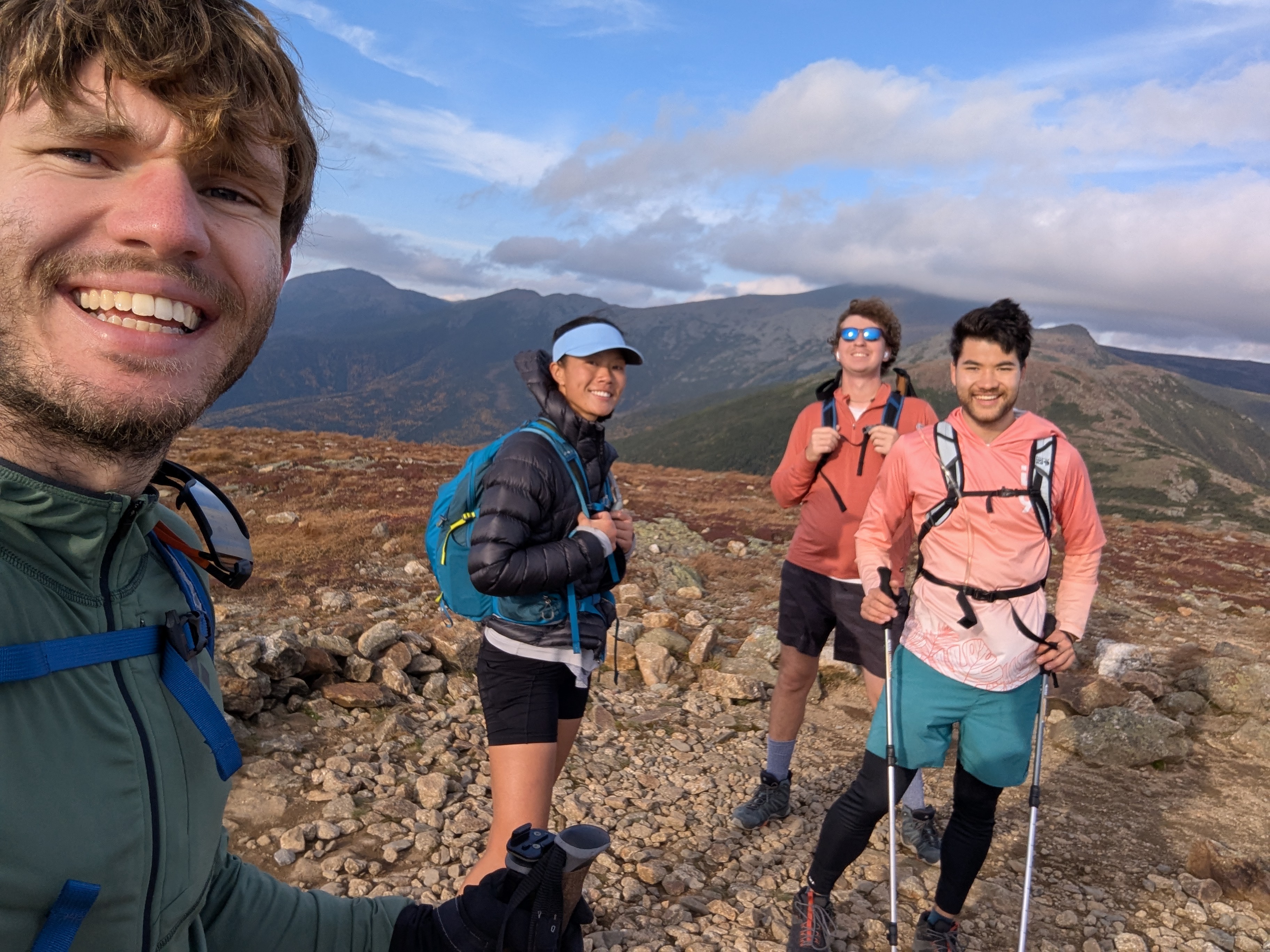
A Super Summit Selfie Spectacular
Every summer I lose the majority of my friends to the sport of ultimate frisbee (which to be fair is how I made those friends in the first place, but still) - finally the season was over, and there was East Coast hiking to be done. Matt, Calvin, En Le and I decided to try hiking the Presidential Traverse in New Hampshire in a single day. While Matt had backpacked the route previously, and the rest of the group had attempted but not completed a two-day trip; I had never entered the Presidential Range at all, and was looking forward to what I’d ultimately say was the most scenic hike I’ve done in the Northeast.
We drove up to New Hampshire after work on Friday, checking into the motel after their front desk closed, and leaving before it opened again. Having left my car at the Crawford Notch trailhead the previous night, we headed to Valley Way for a bright (well, dark) and early 6:00 am start.
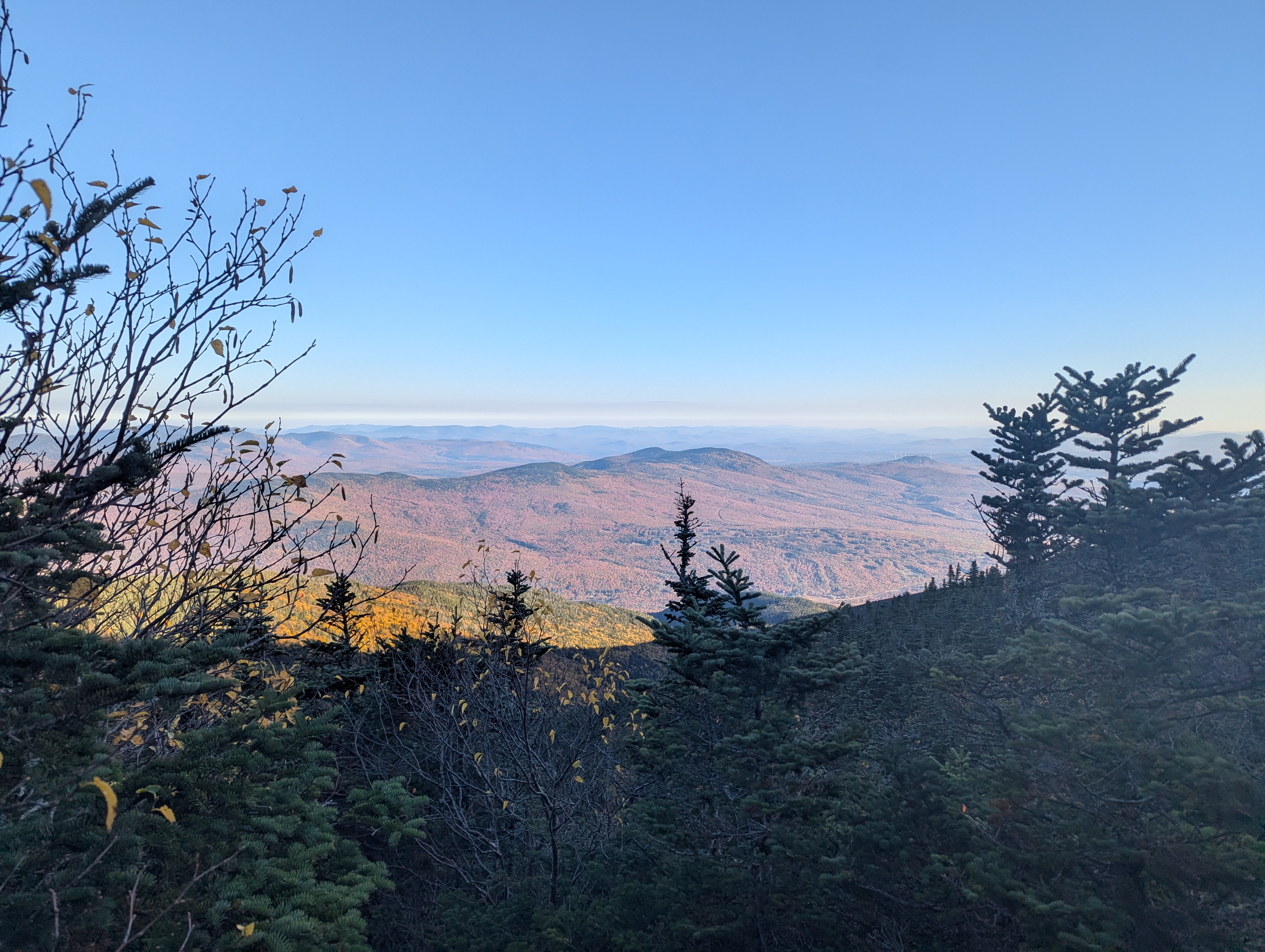
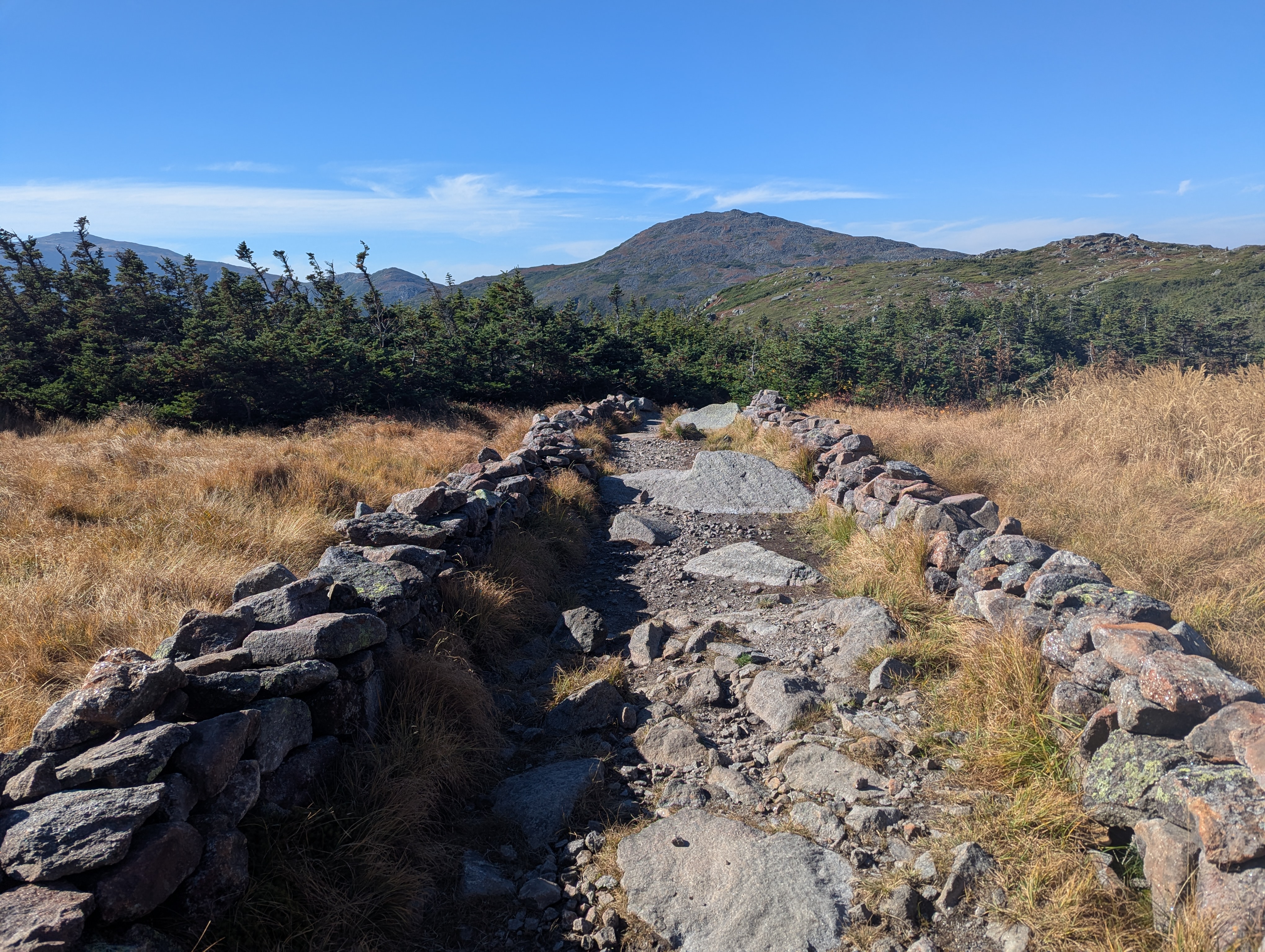
We started making our way up the trail by our headlamps - Valley Way is a fairly standard New Hampshire trail, rocky and treed with minimal switchback, but we made good progress and found ourselves with the beginnings of a nice view by the time it was light.
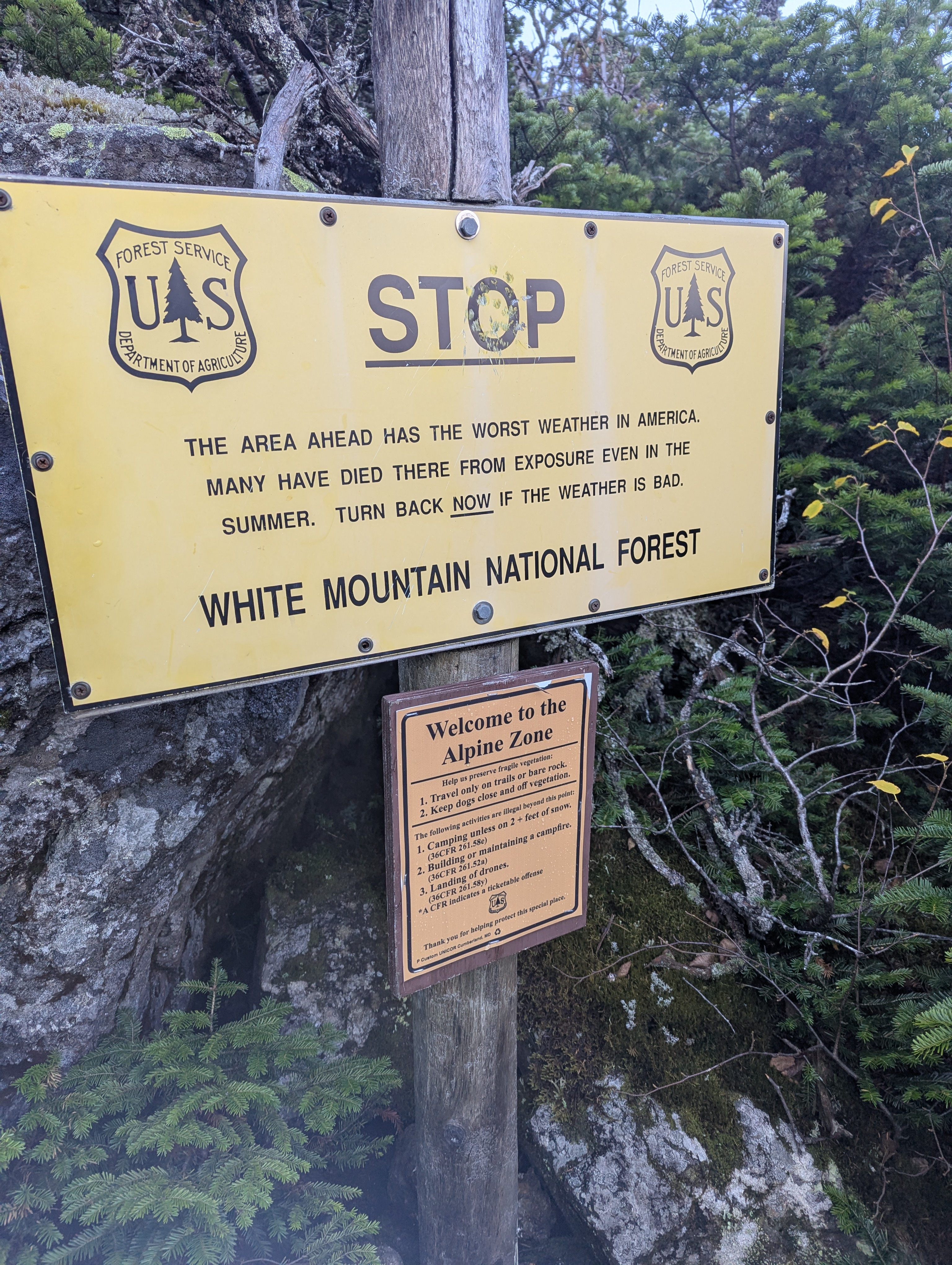
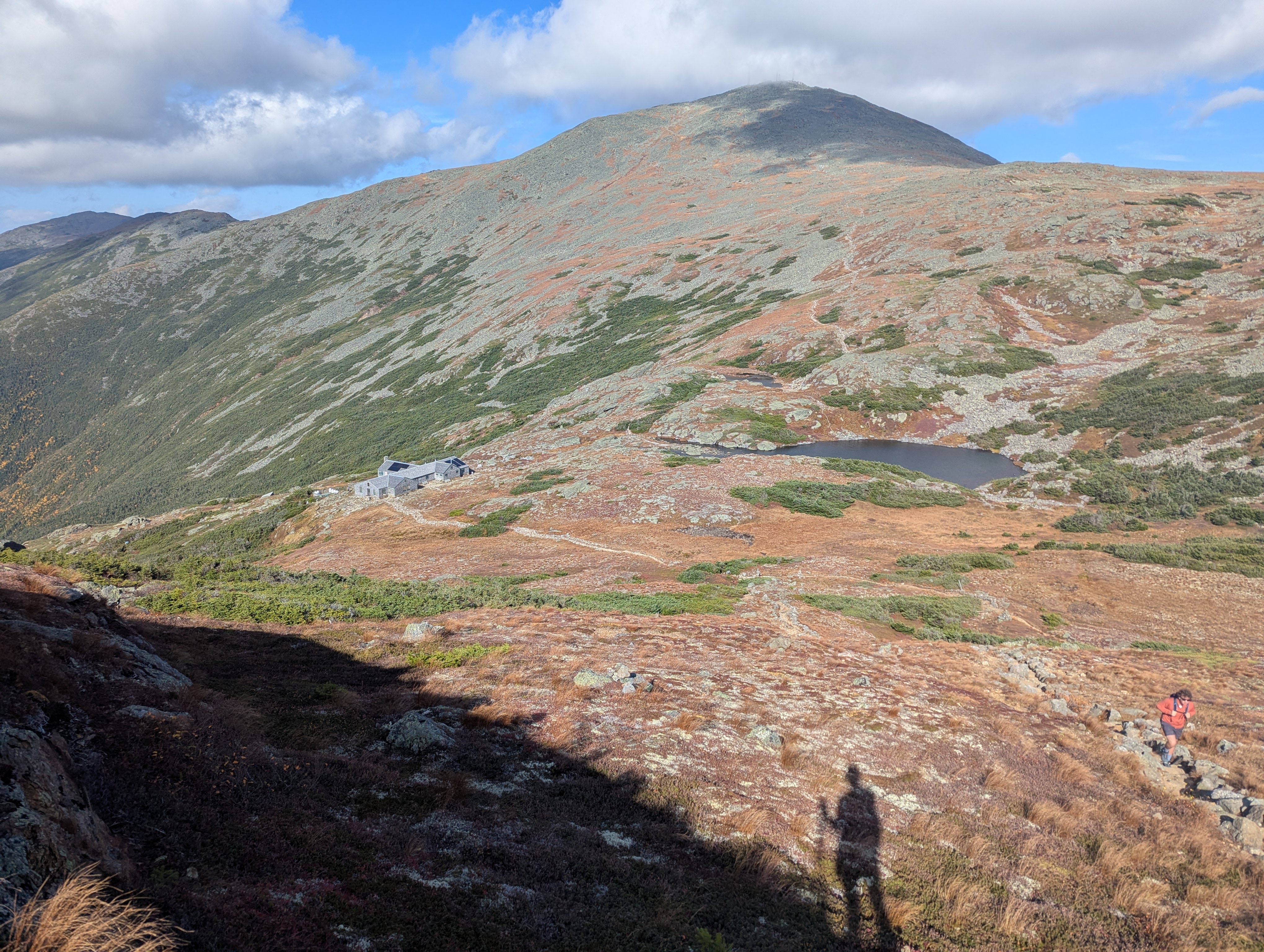
We soon made it into the alpine, where we were greeted with a stern warning. Having checked the forecast, our only worry was the high winds, and knowing we had the appropriate gear we carried on.
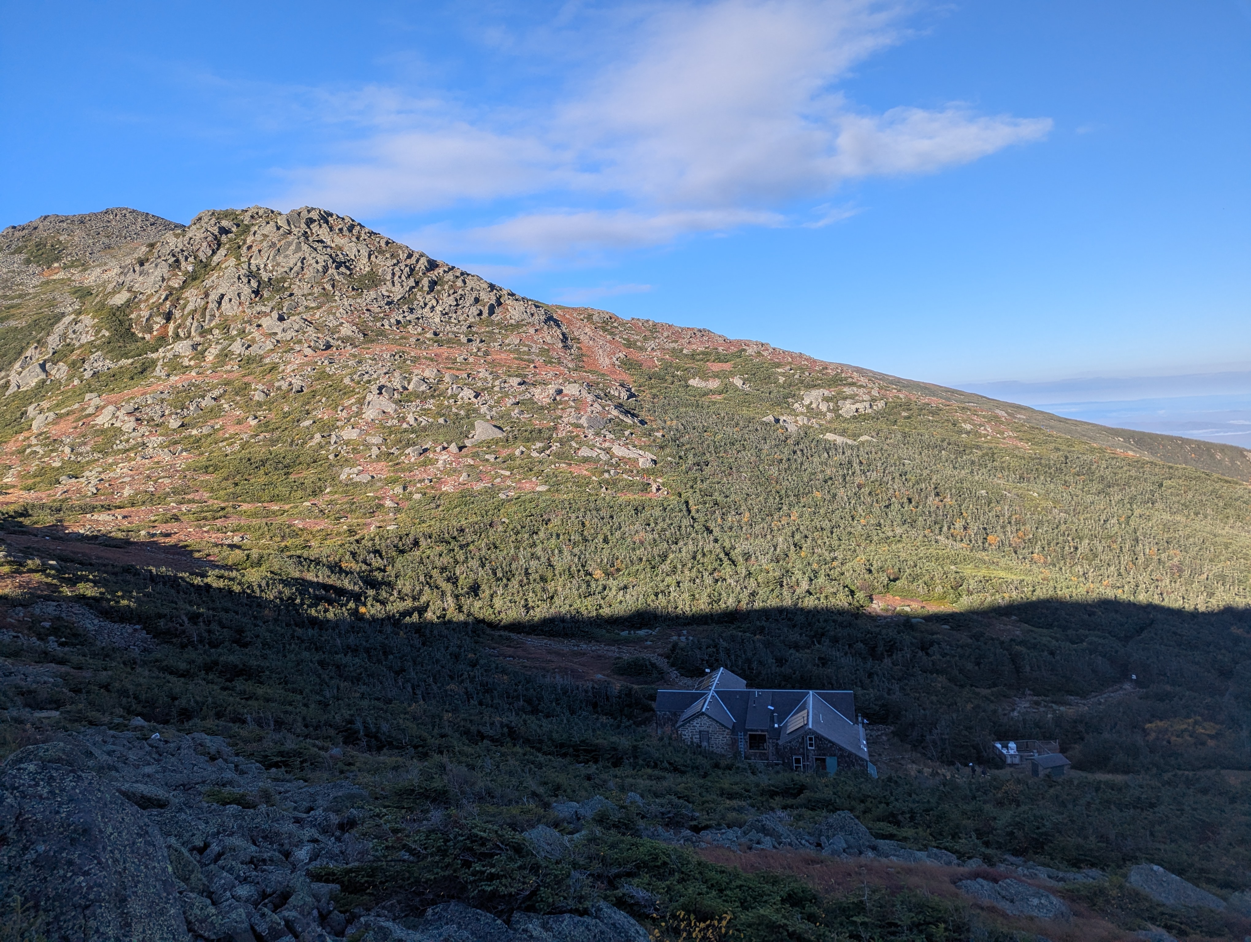
After a brief stop at Madison Hut, we began our first summit of the day - a rocky path up Mt. Madison.
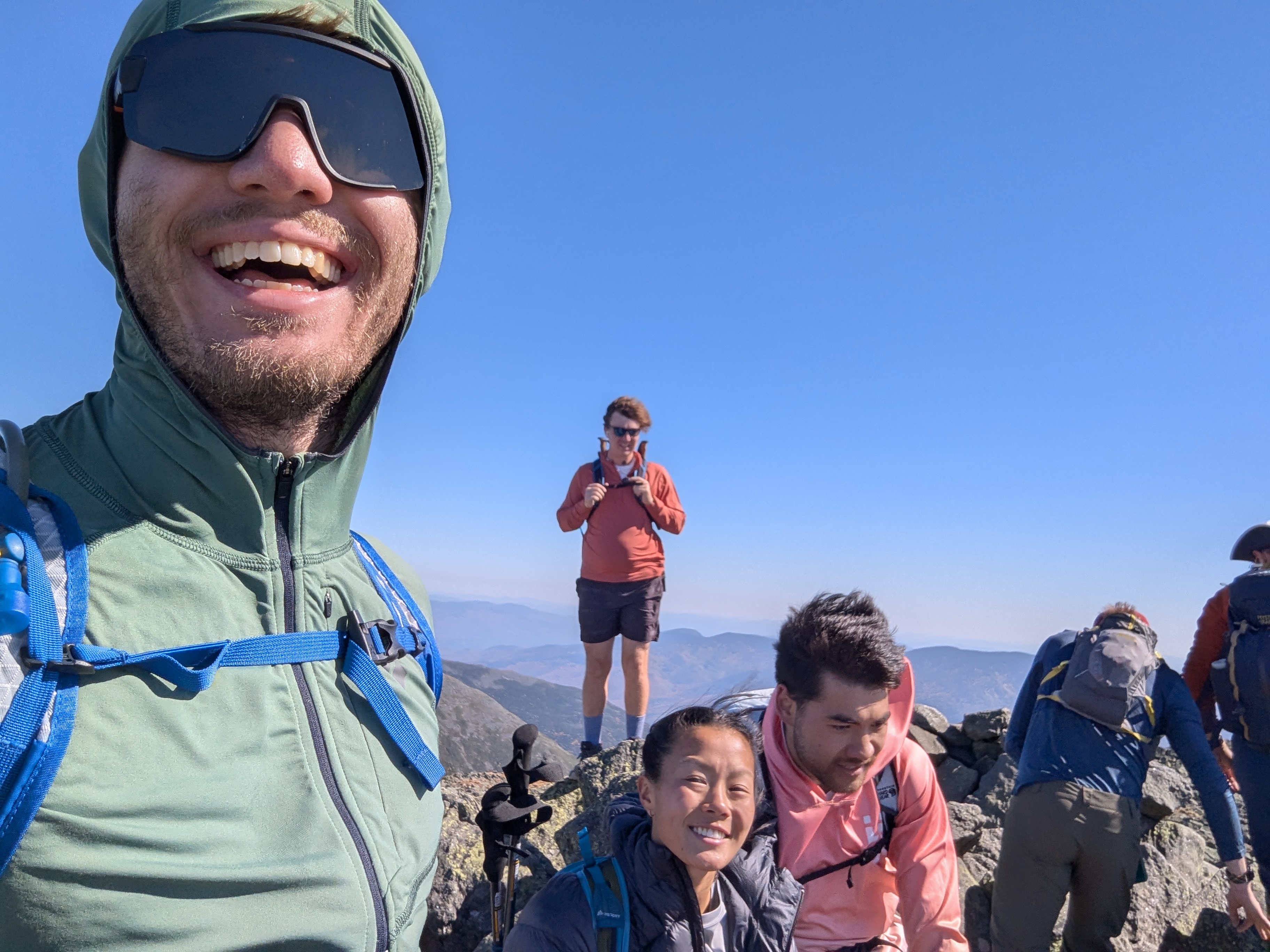
The forecast wind did indeed appear as we made our way above treeline, making for a very chaotic first summit of the day at around 8:30 am.
It wimdy
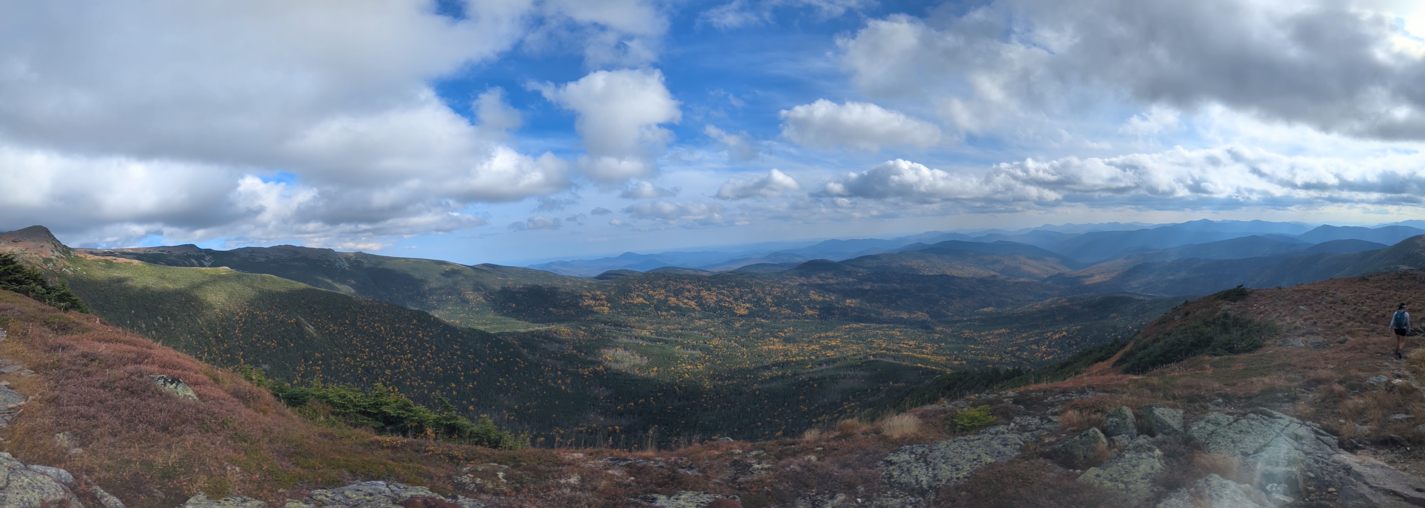
We hurried back down, and after another brief stop at the hut to refill water, continued onwards. Things remained rocky as we made our way around the base of J.Q. Adams, but the wind was far less strong off the summit and we enjoyed the sunshine as we cruised through the alpine.
After another windy summit around 9:45 am, we descended back towards the Appalachian Trail and began to make our way towards Mt. Jefferson.
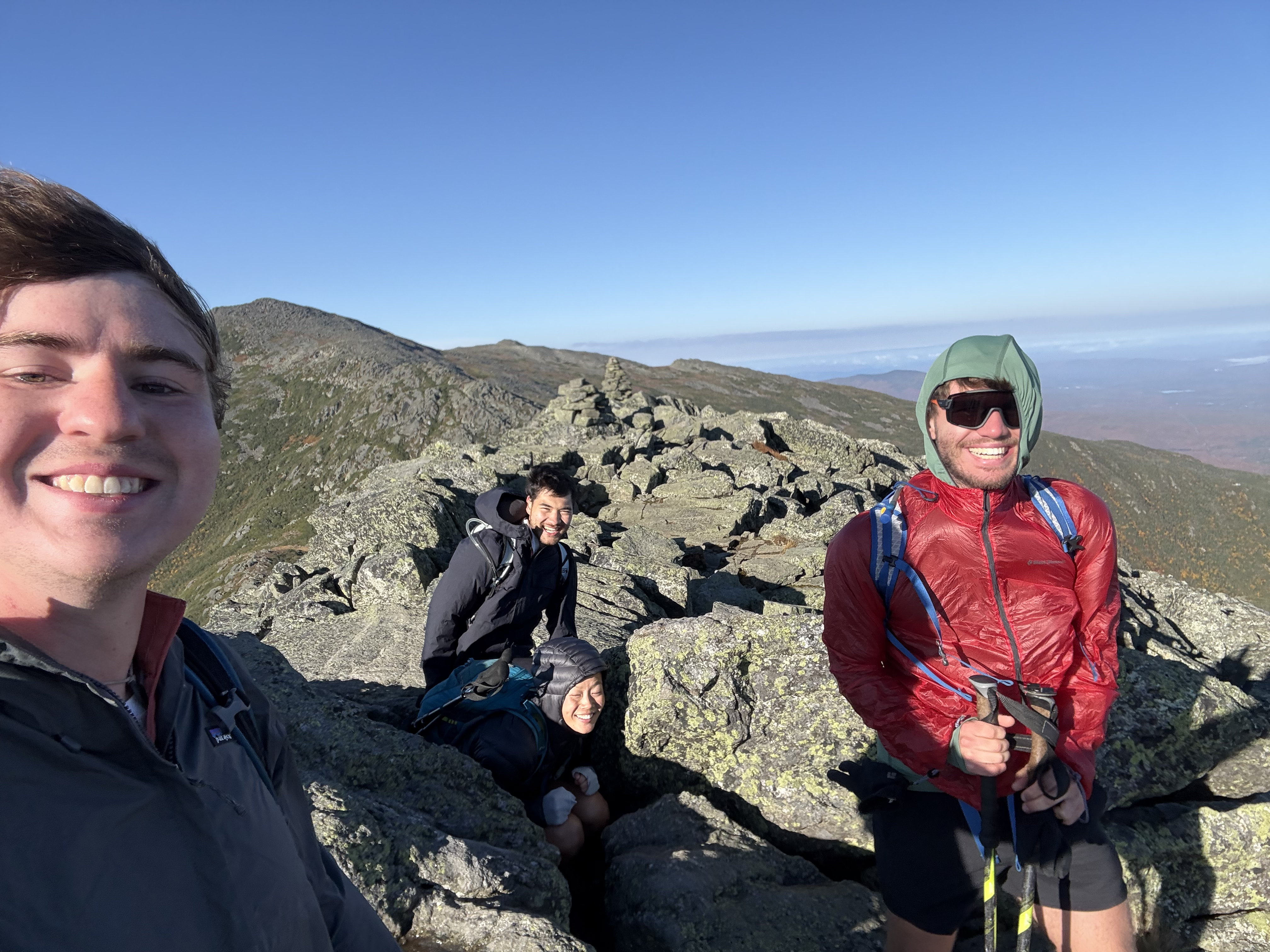
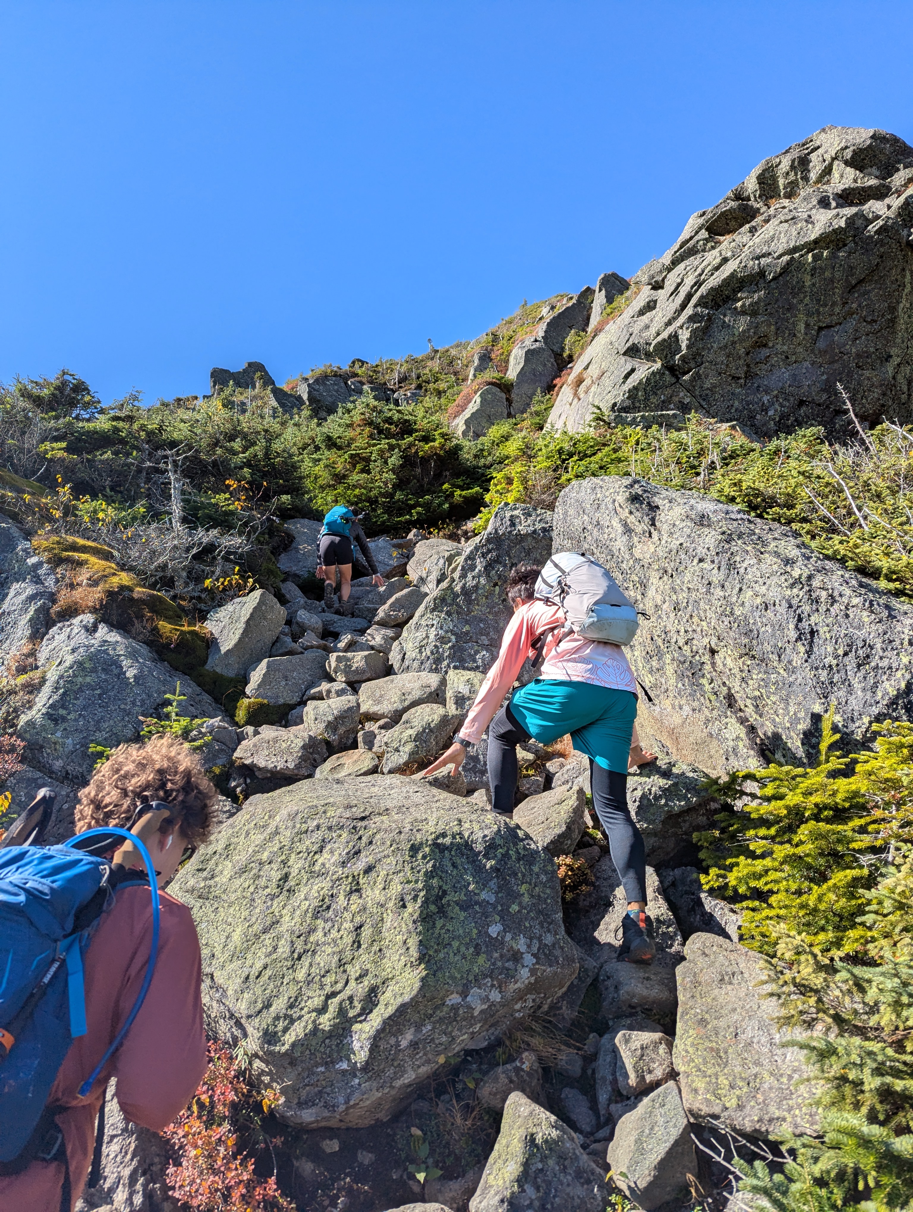
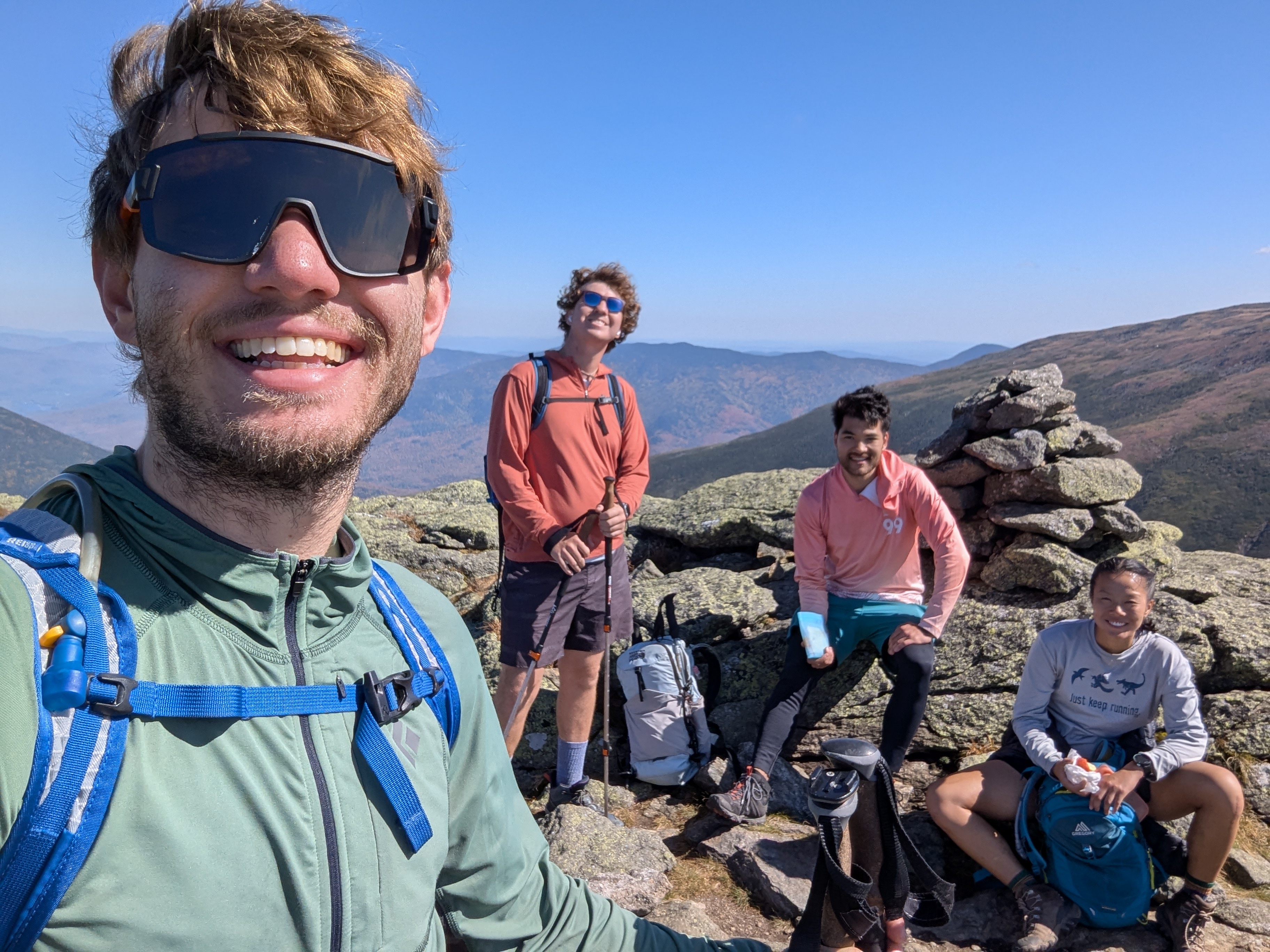
The trail steepened again as we approached the top of Mt. Jefferson, culminating in a short scramble up the summit rock pile and an 11:15 am summit.
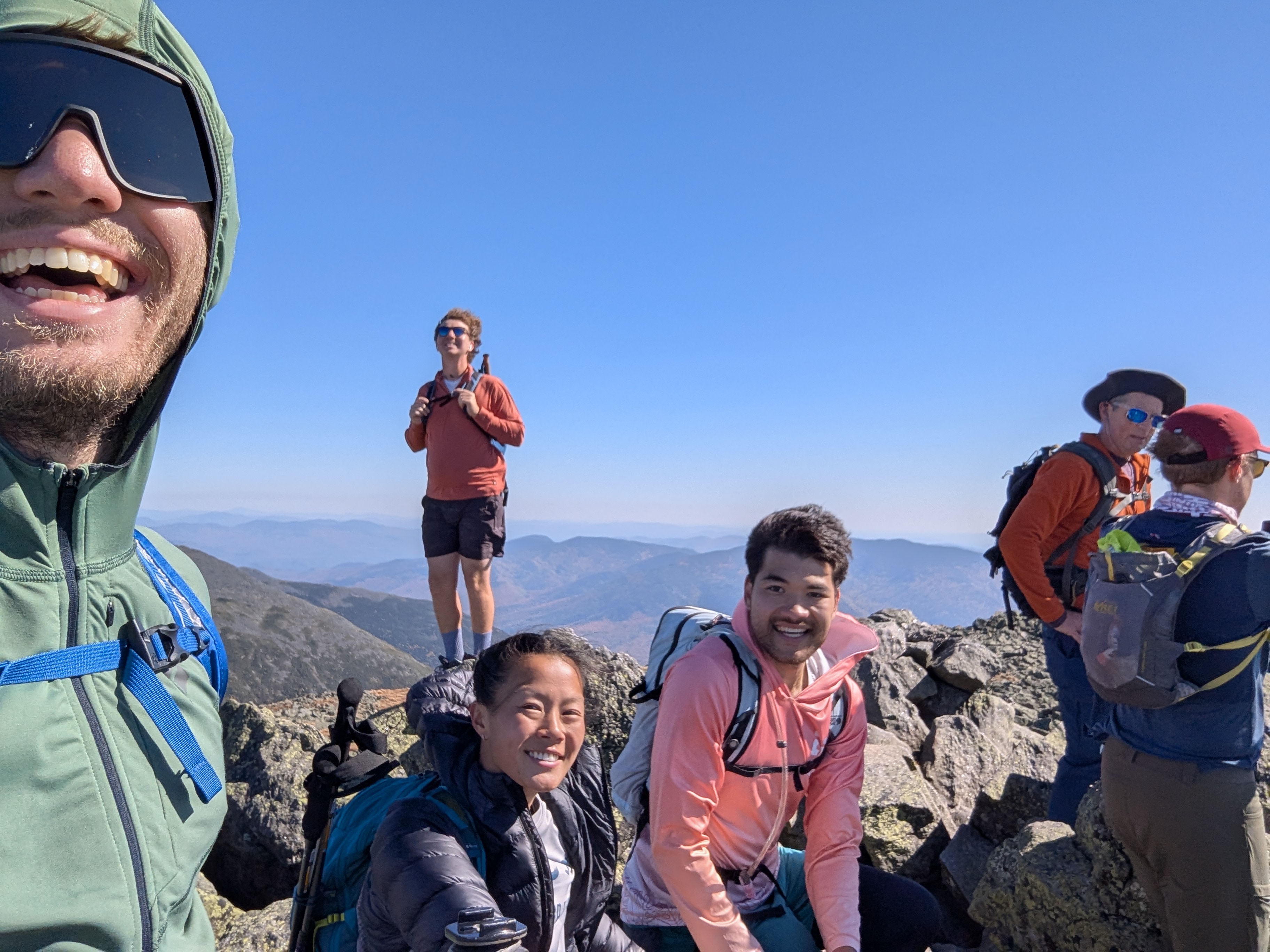
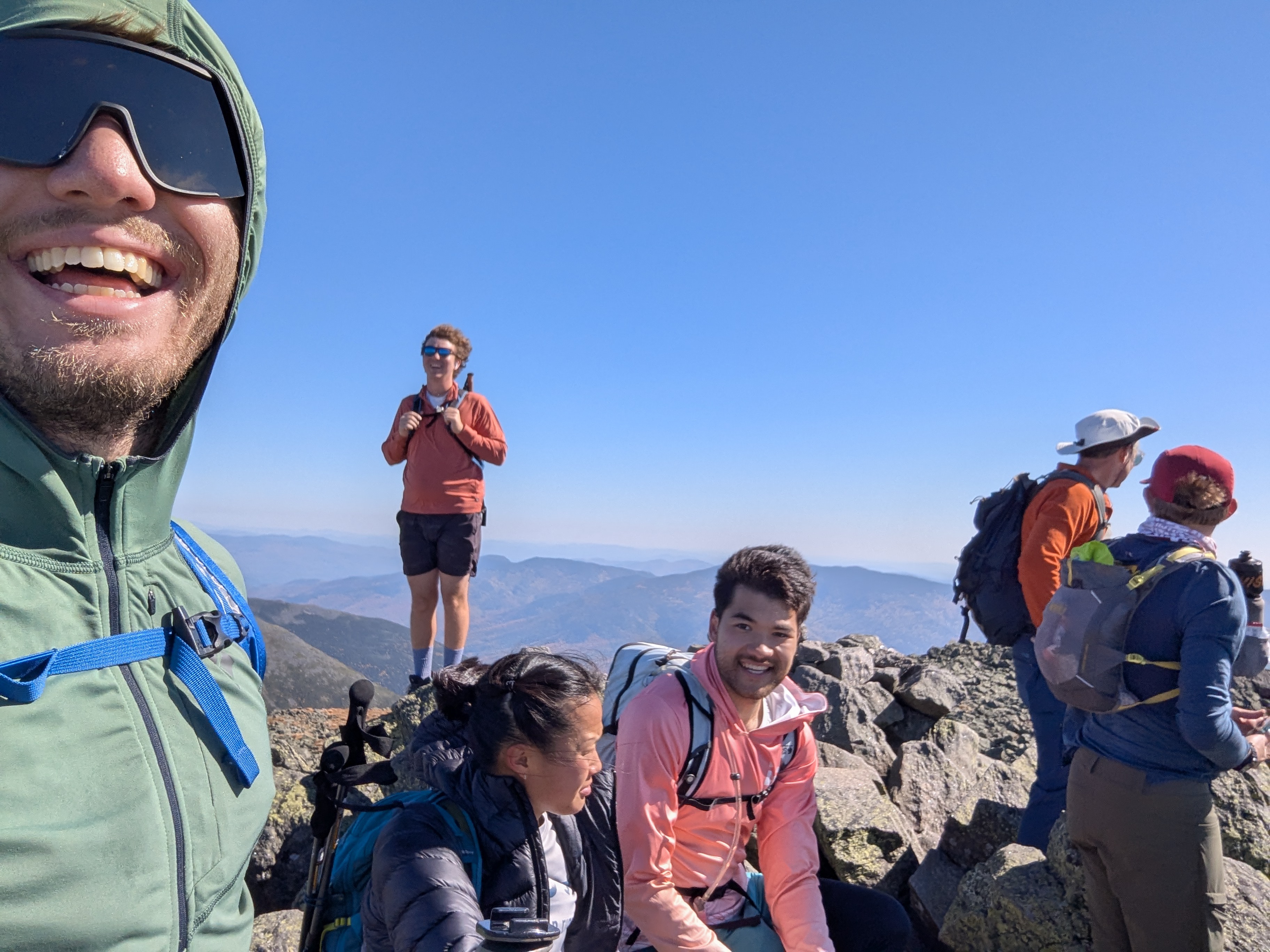
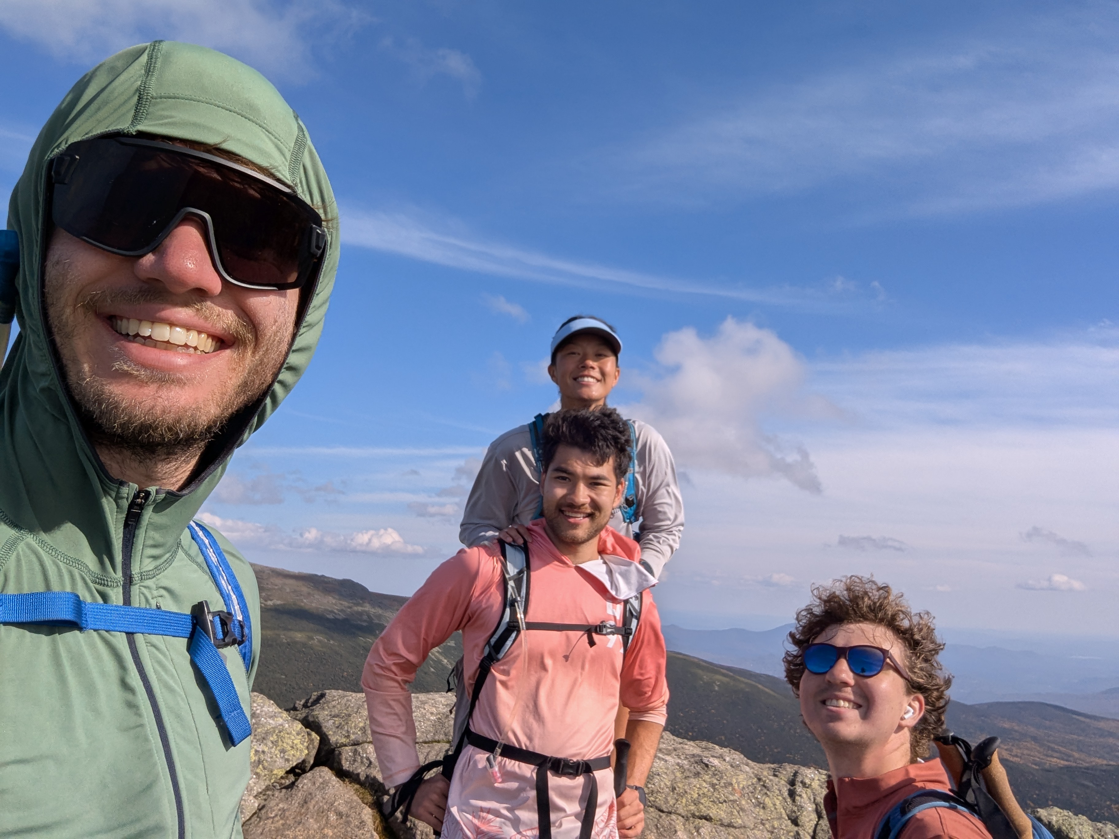
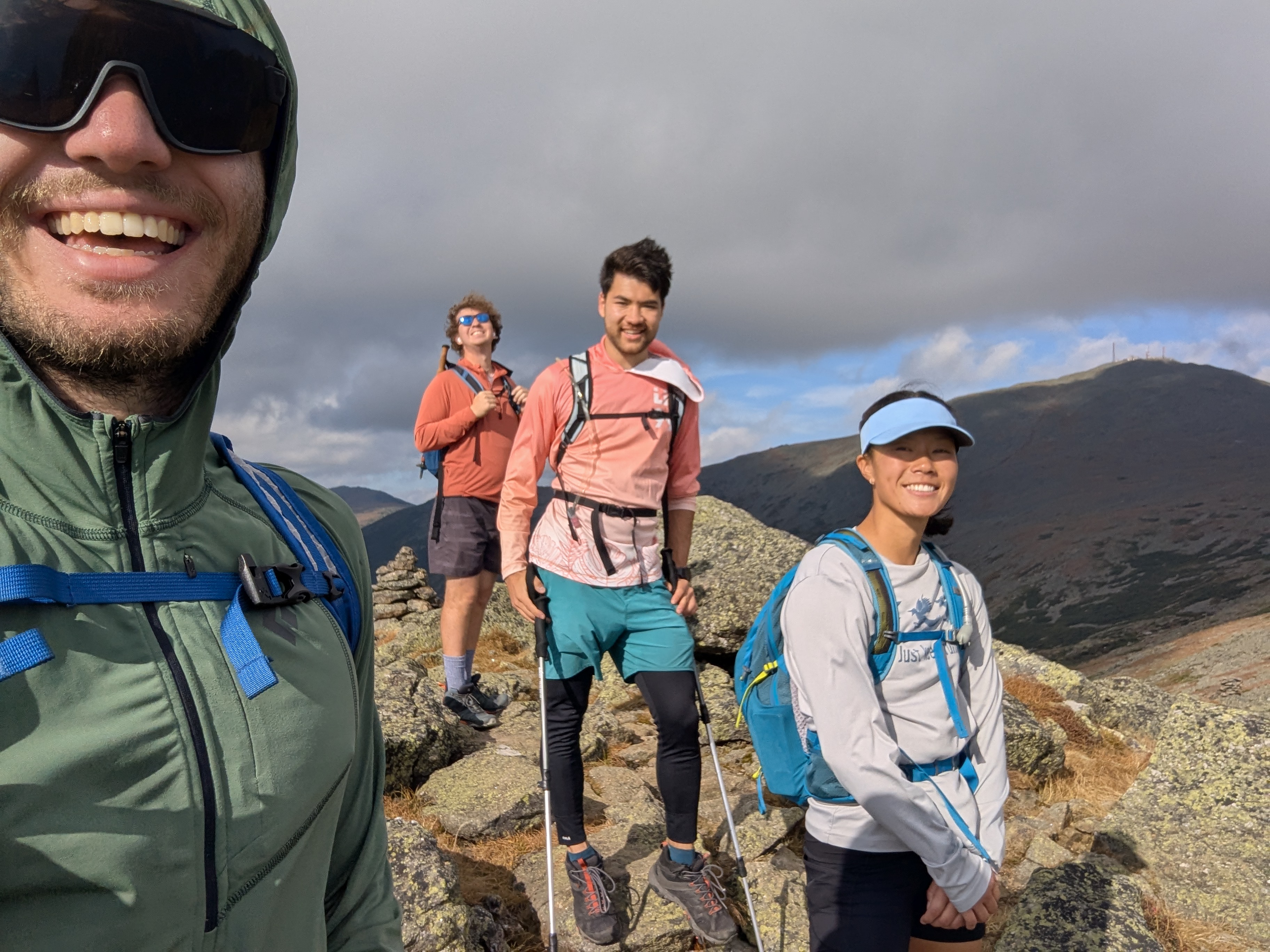
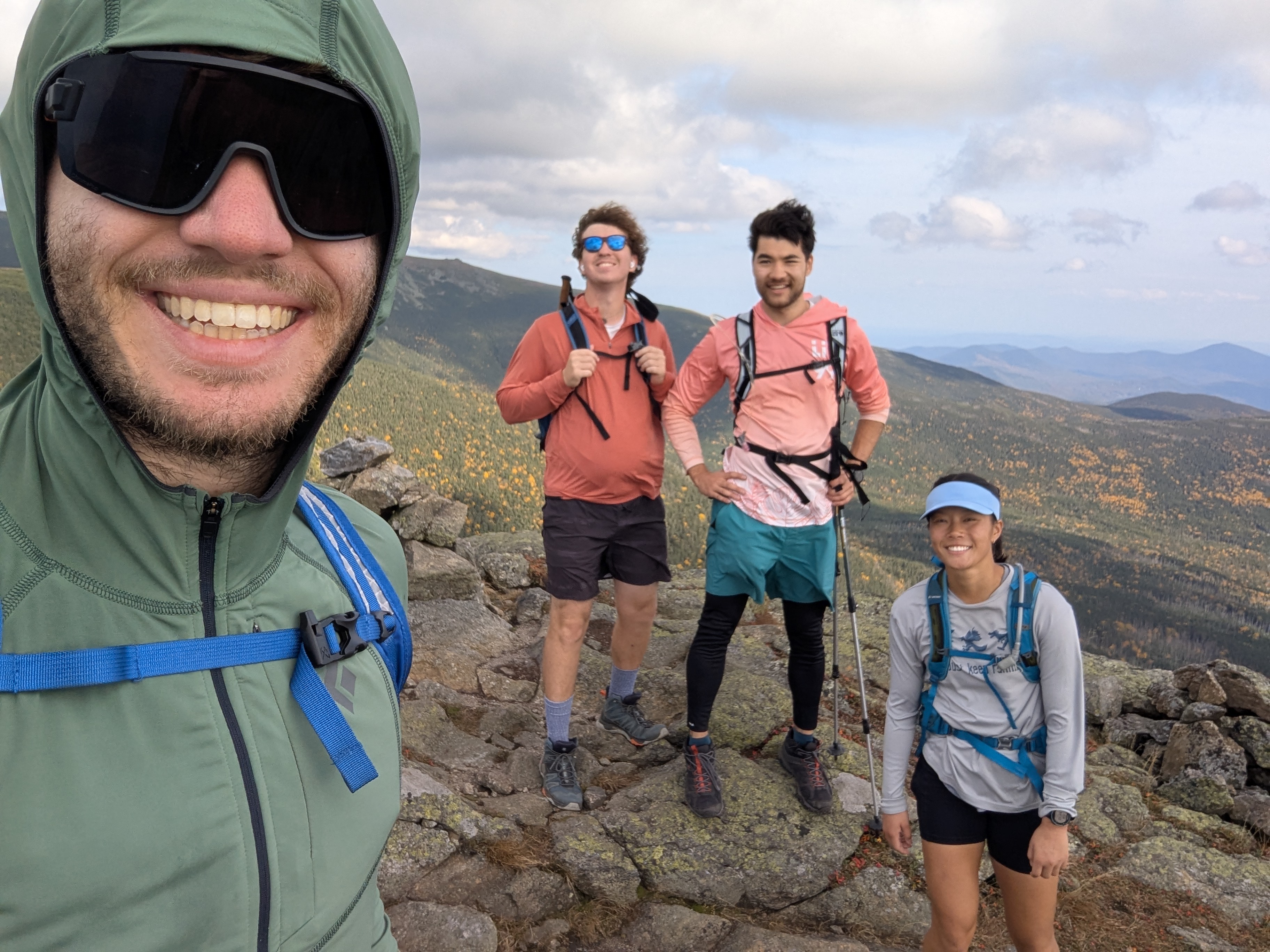
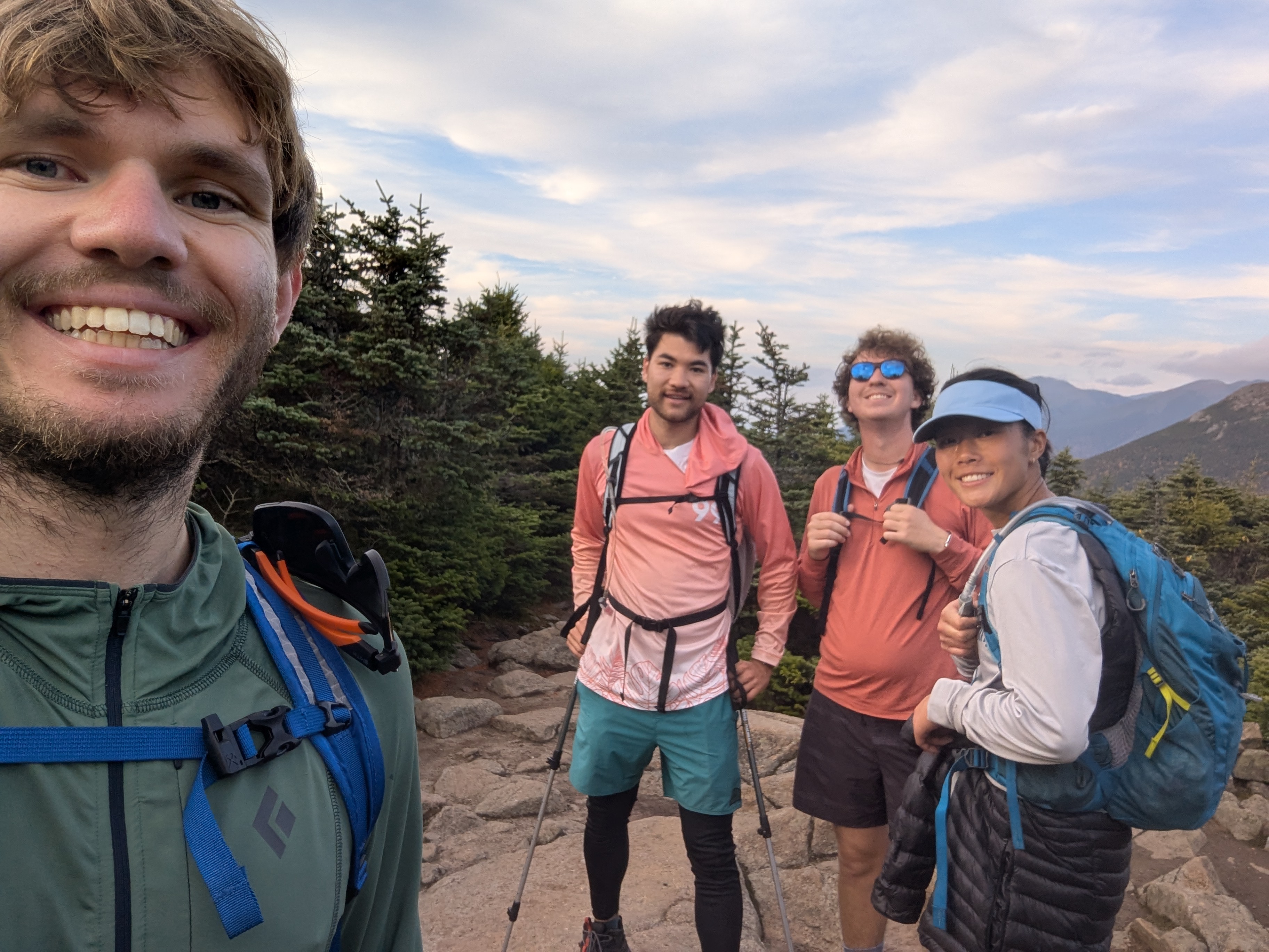
I couldn't decide which of these was the least awful so you get all three
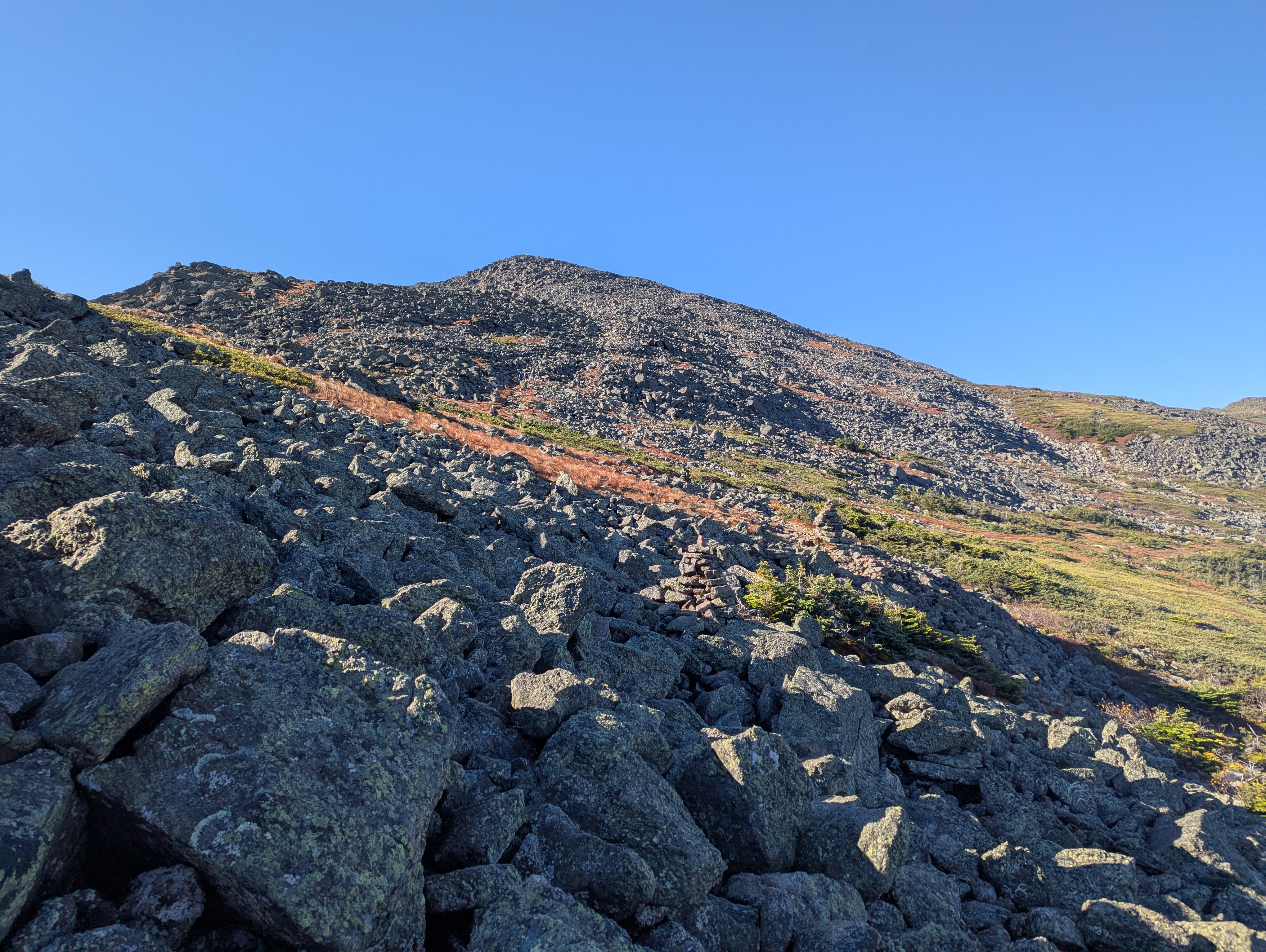
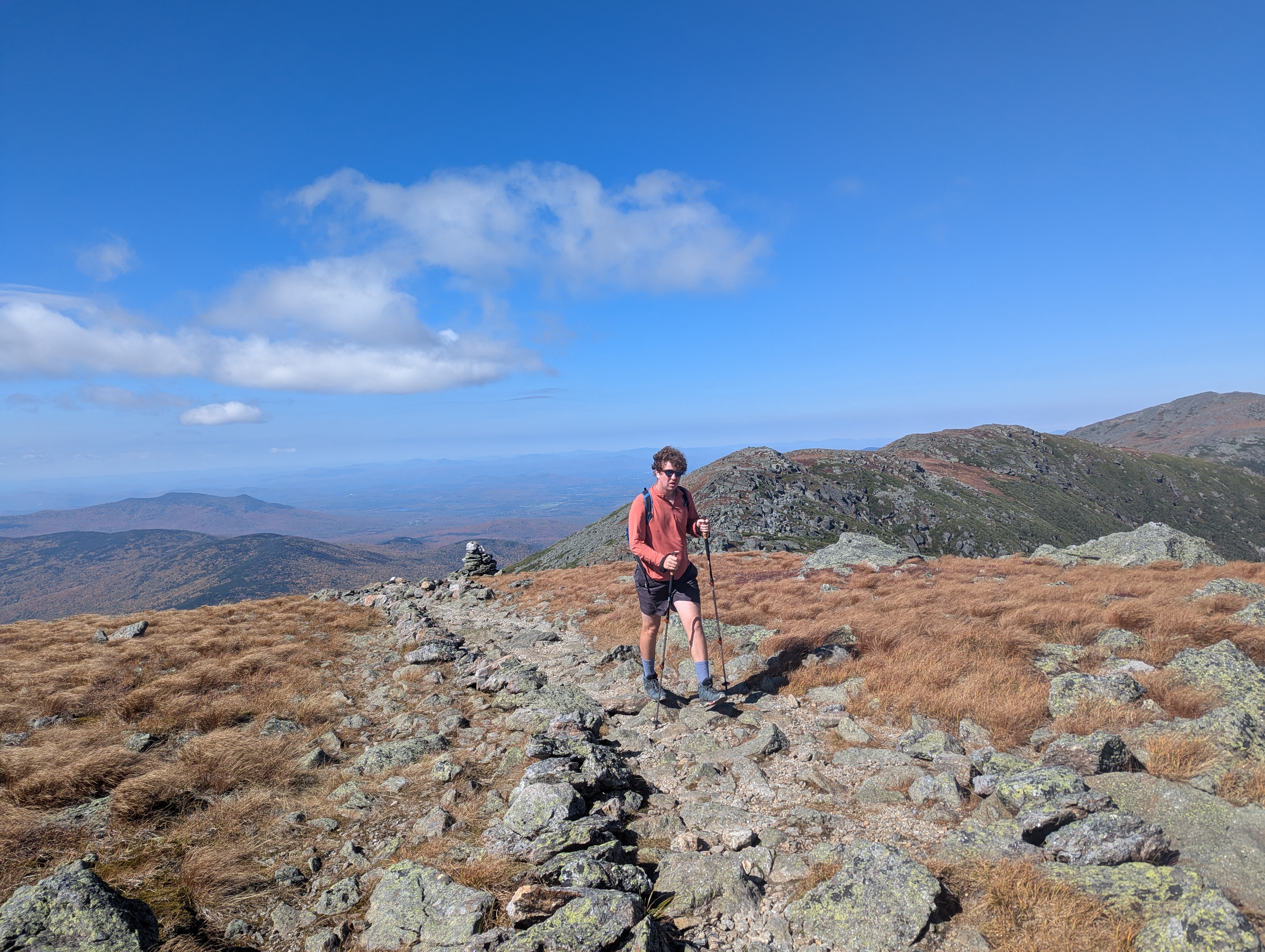
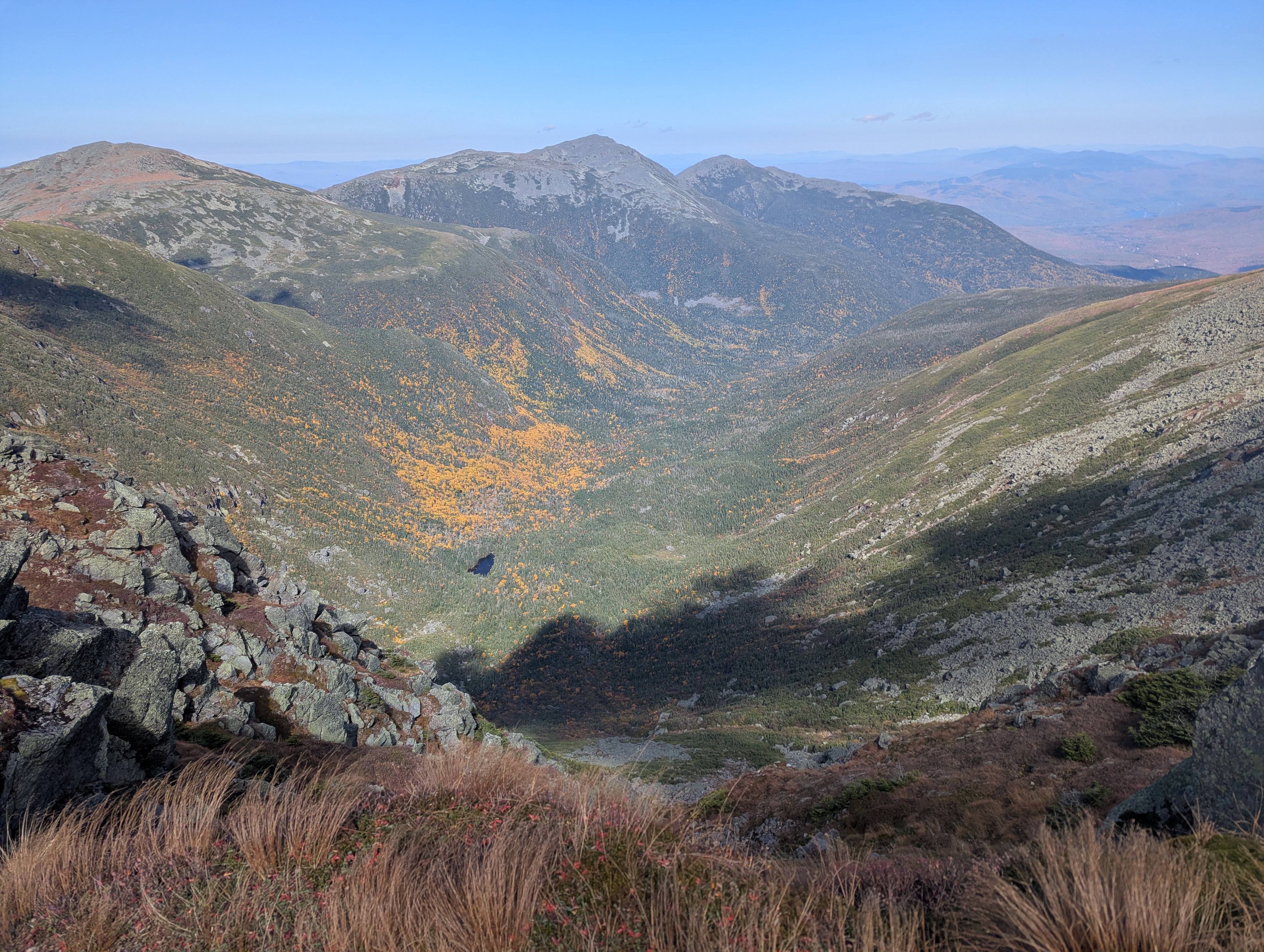
We continued to enjoy the open alpine terrain as we headed for Mt. Washington.
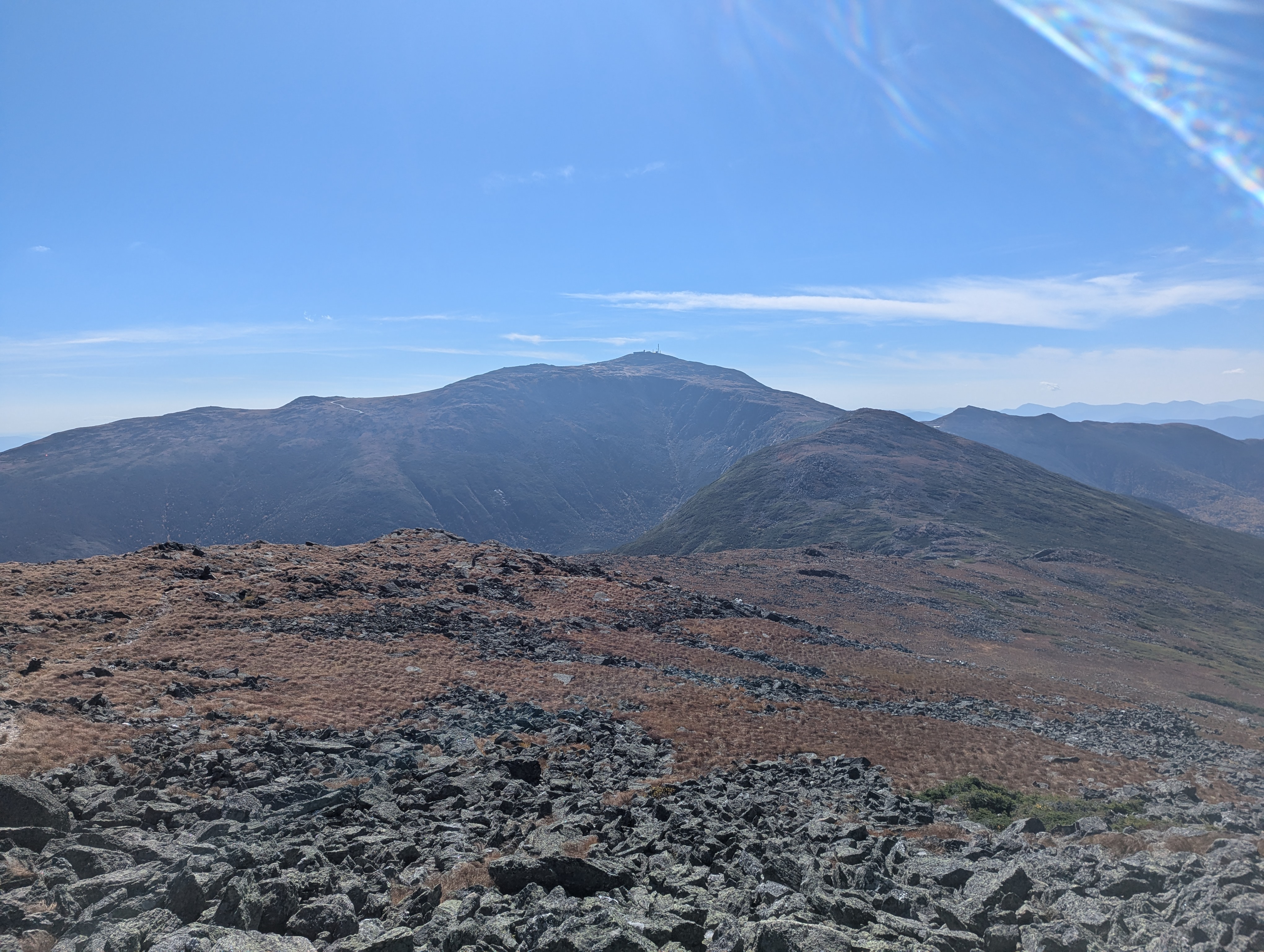
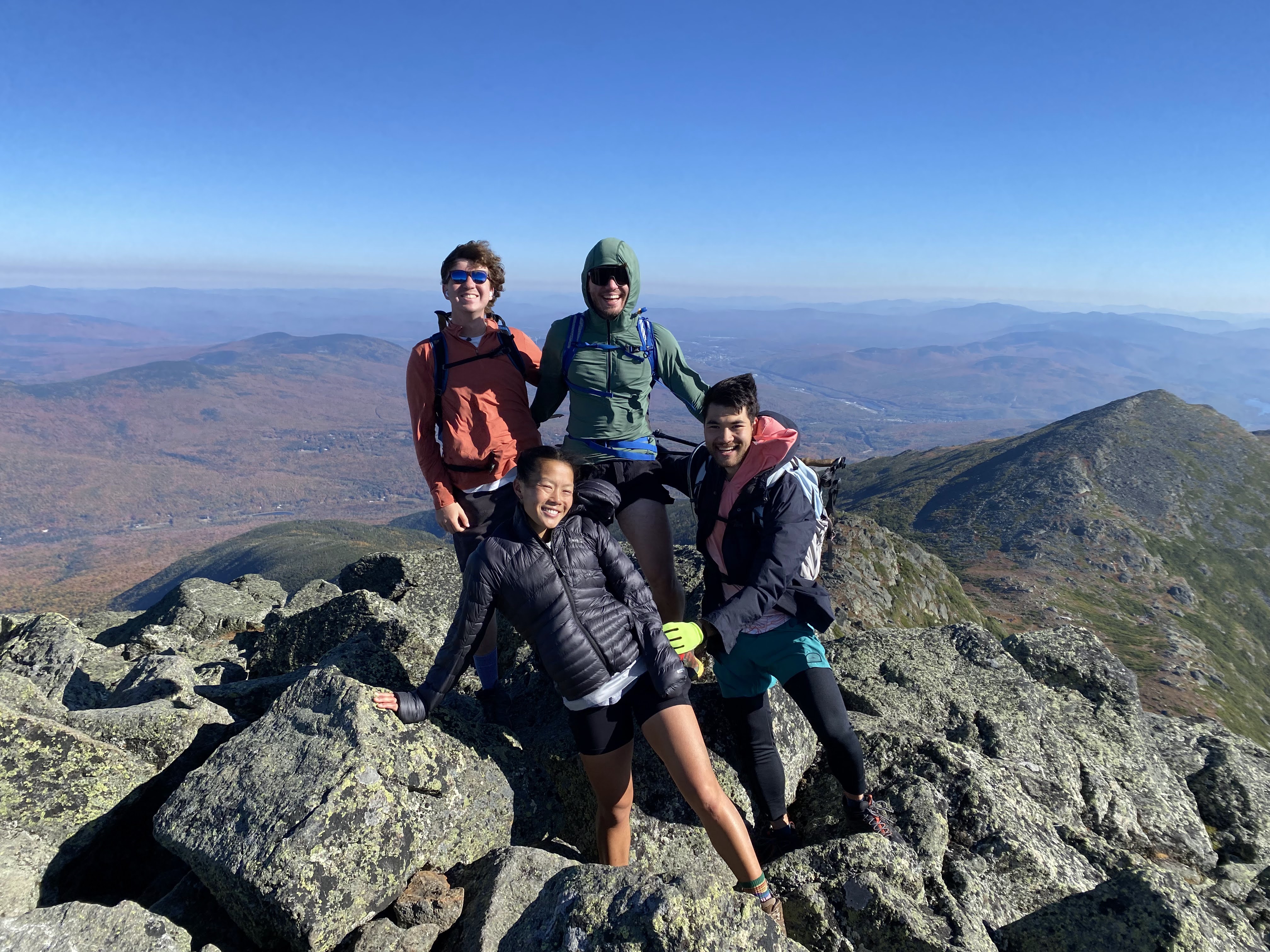
And paused on top of Mt. Clay for a brief lunch around 12:30 pm.
As the wind abated, we enjoyed clear views in all directions. This was already the longest I had been continuously above treeline in the Northeast, and between the New England fall foliage below and the alpine terrain up ahead I was having a wonderful time.
We proceeded up Mt. Washington, and reached the summit around 1:45 pm.
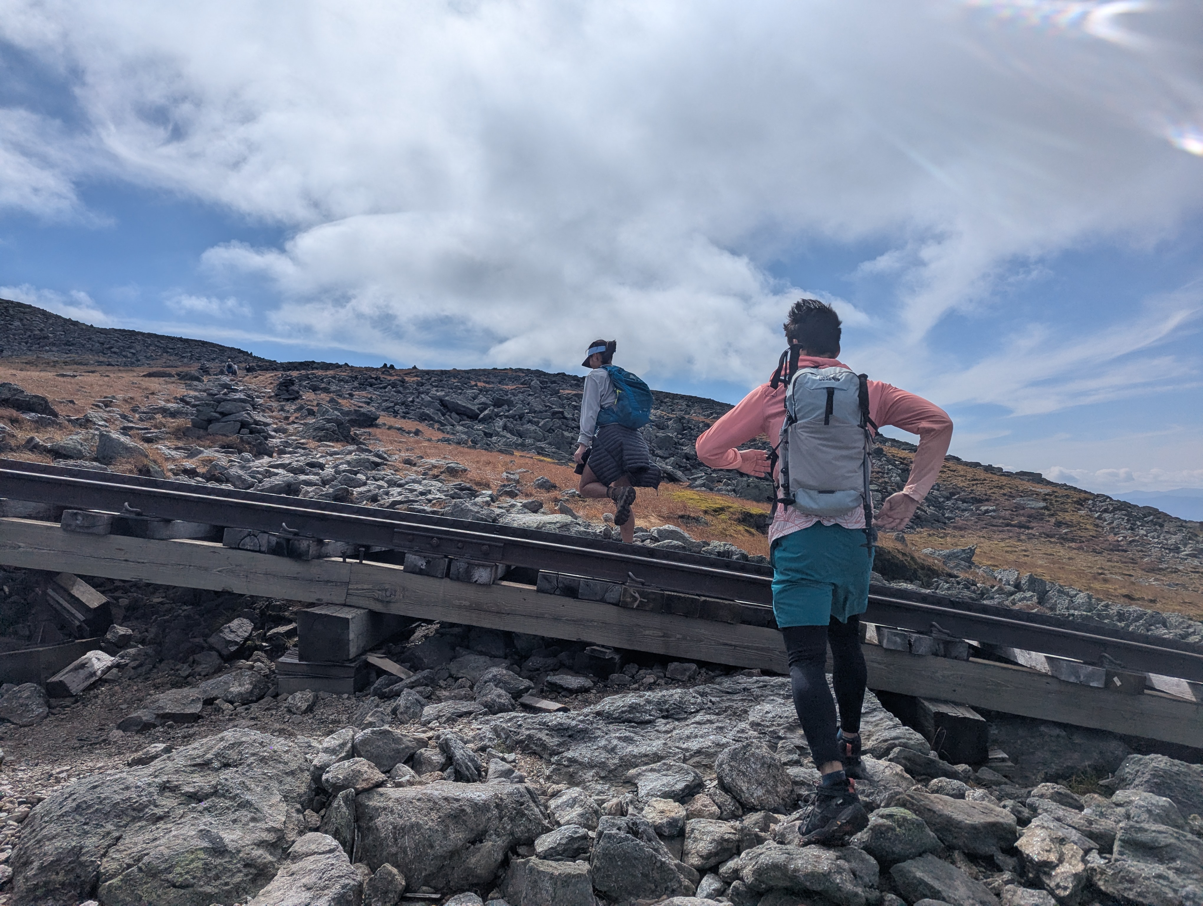
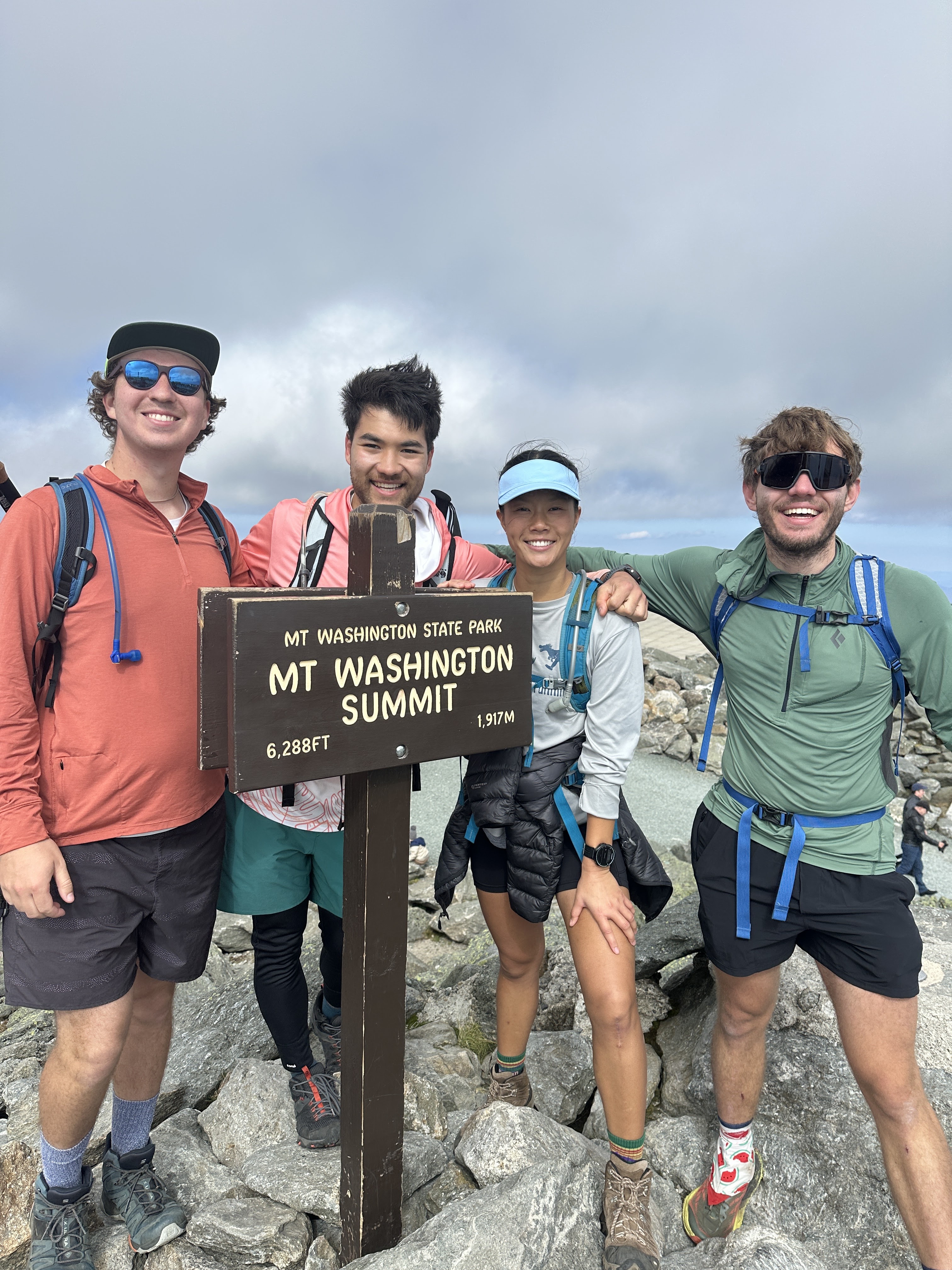
After a brief break at the visitor center (snacks, bathrooms, the big list of Mt. Washington fatalities, postcards) we proceeded onto the second half of our hike. Since we hadn’t been able to see past Washington until now, this also exposed new views - still beautiful alpine terrain.
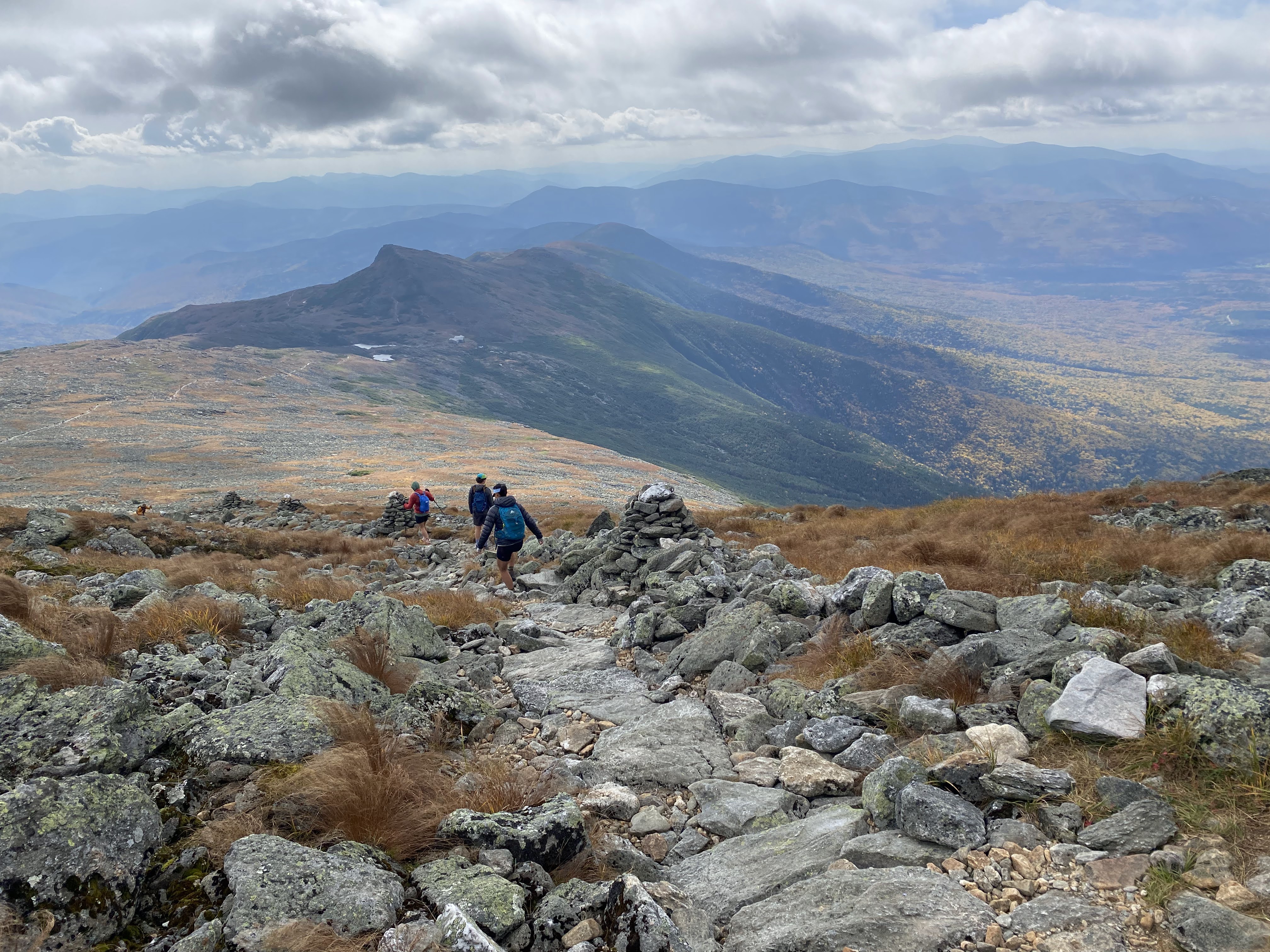
As the summits grew smaller and the group tired, time started to blur a bit. We made it up Monroe around 3:15 pm.
And then over Little Monroe and Franklin, which don’t get alliterative greetings because they’re not presidents (yes neither was Clay but it’s my blog I can do what I want)
From there it was on to Eisenhower (4:45 pm)
And finally back into the wooded trails more typical for the region, emerging once more to tag Mt. Pierce (5:45 pm)
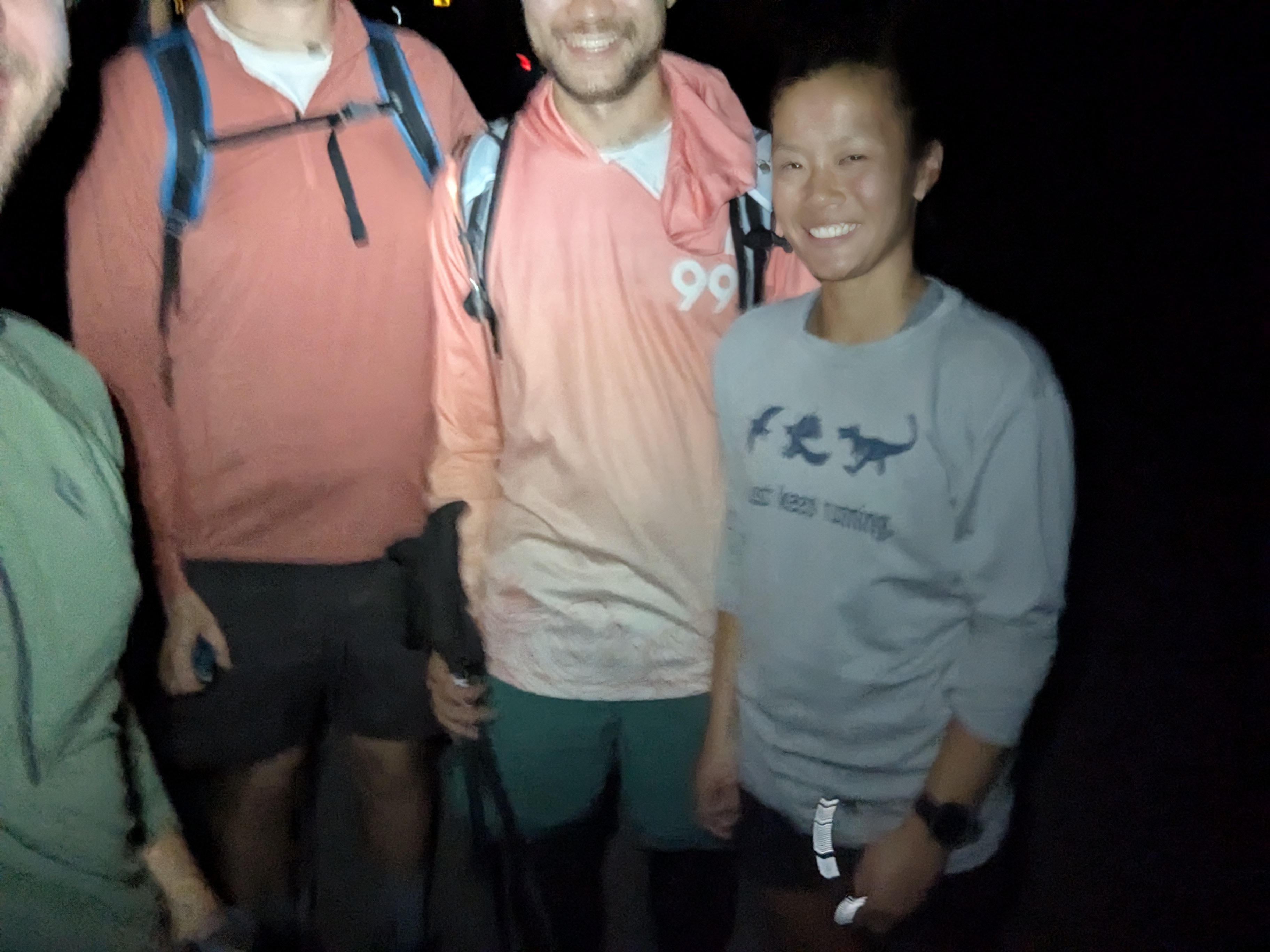
From there it was a bit of a slog down through the woods. The group was tired from a long day, but still in good spirits overall, and good conversation made up for heavy legs. We re-donned our headlamps, and finally reached the Crawford Notch Trailhead at 7:45 pm, too exhausted to find our faces with the camera
I had an absolutely wonderful time. The weather was close to perfect once the wind died down, and the views were constant and spectacular, especially with the late September foliage. This was perhaps my favorite hike I’d done in the Northeast to date, and I couldn’t wait to go back. Literally