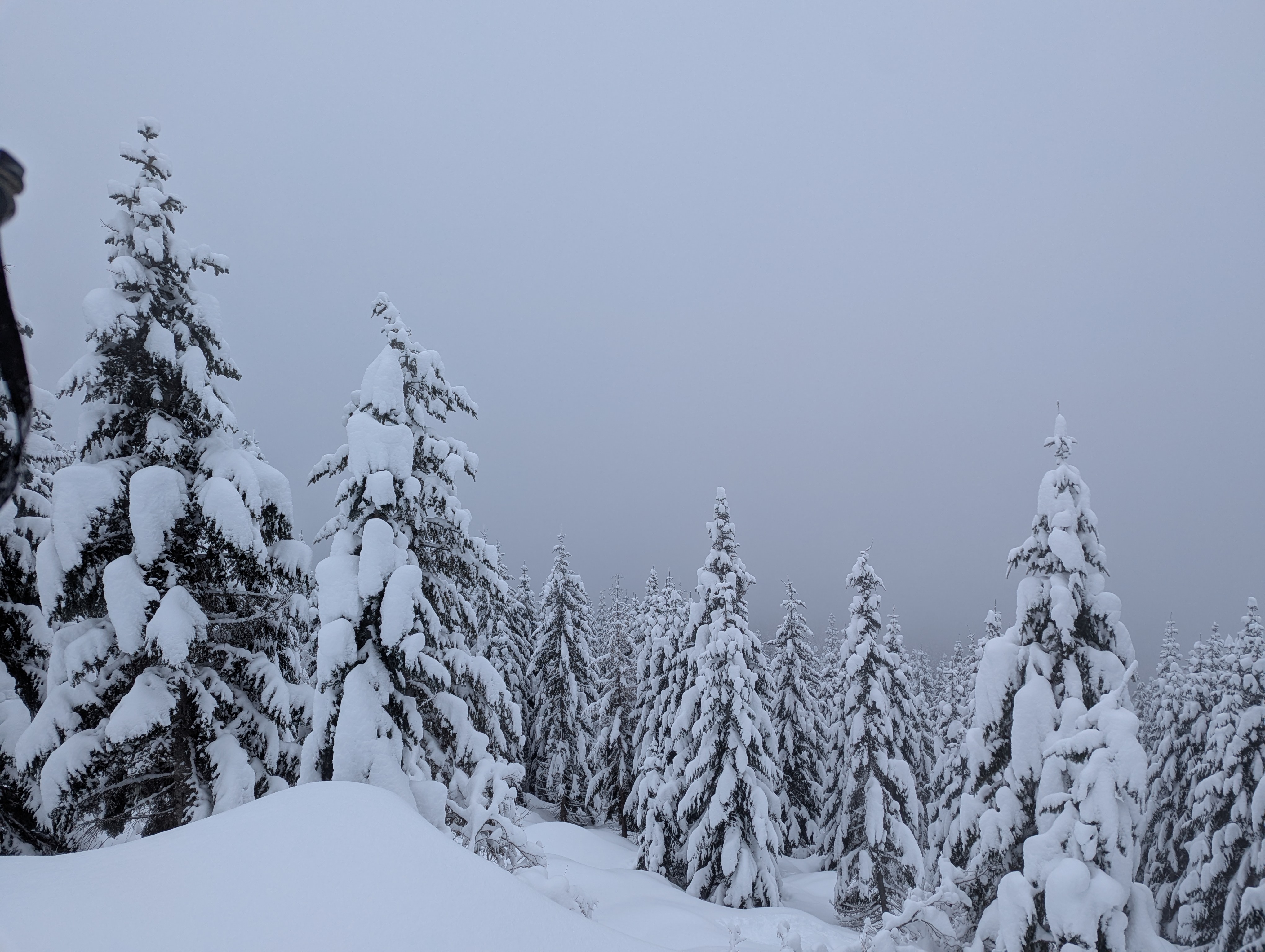
Jekyll2026-01-31T03:58:03+00:00https://linusoutside.com/feed.xmlLinus OutsideMainly trip reports, hopefully moderately up-to-dateLinus KoepferTouring the Muir Snowfield (Tahoma)2025-12-13T00:00:00+00:002025-12-13T00:00:00+00:00https://linusoutside.com/2025/12/13/paradiseWe’re so back!
After a long unplanned stop in the Northeast to build an entirely new van; I was finally approaching Seattle again. Unfortunately a historically low snowpack and historically high flooding meant we had almost resigned ourselves to spending the weekend climbin in Vantage - and then a friend mentioned there was enough snow on Tahoma for her AIARE 1 class. We checked the webcams (saw some snow from the parking lot), ensured the gate would be open, read the Avalanche forecast (Low to moderate, and we were traveling on low-angle terrain and comfortable identifying the warning signs of wet slides), and decided this was as good as we’d get.
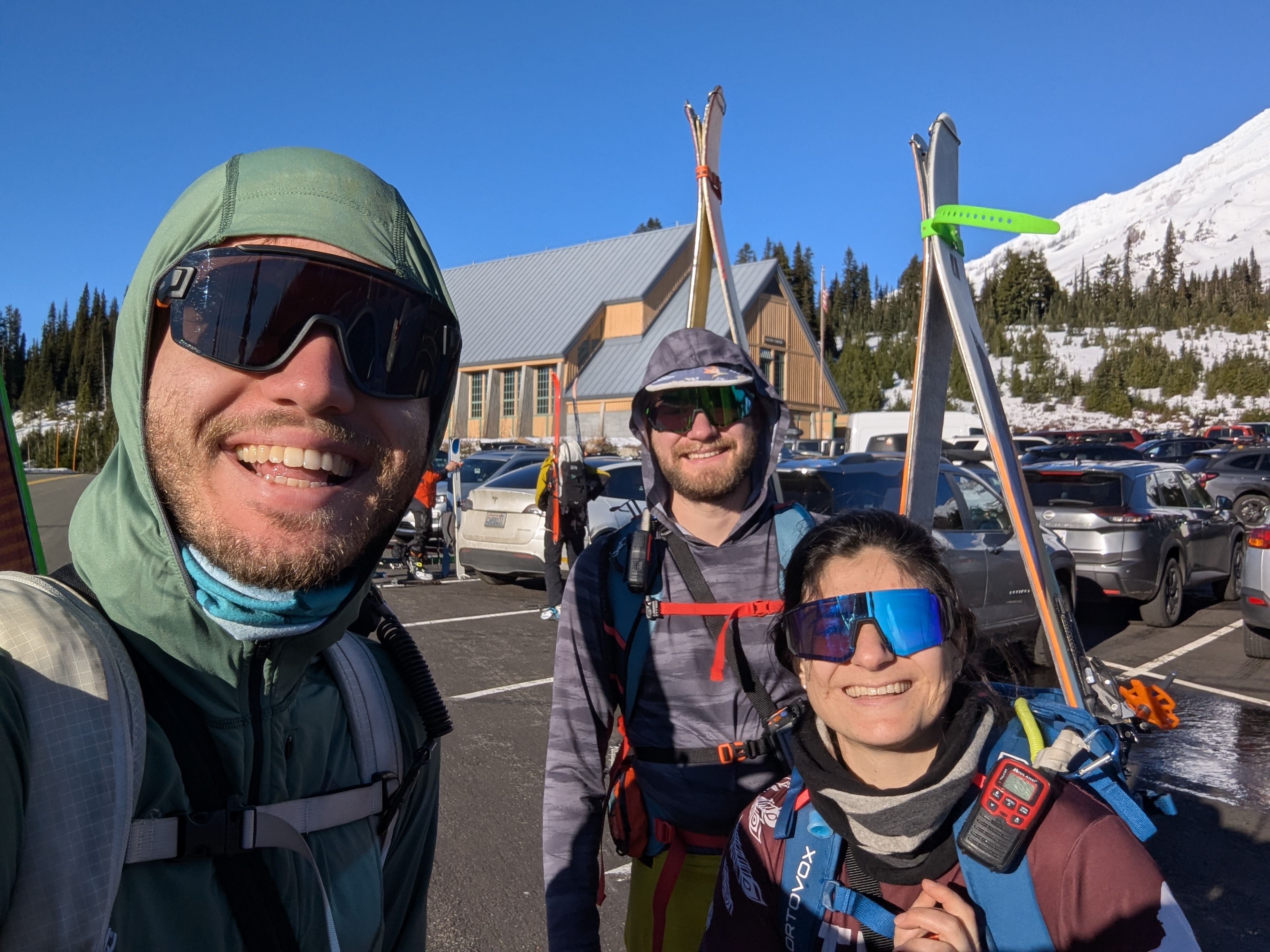
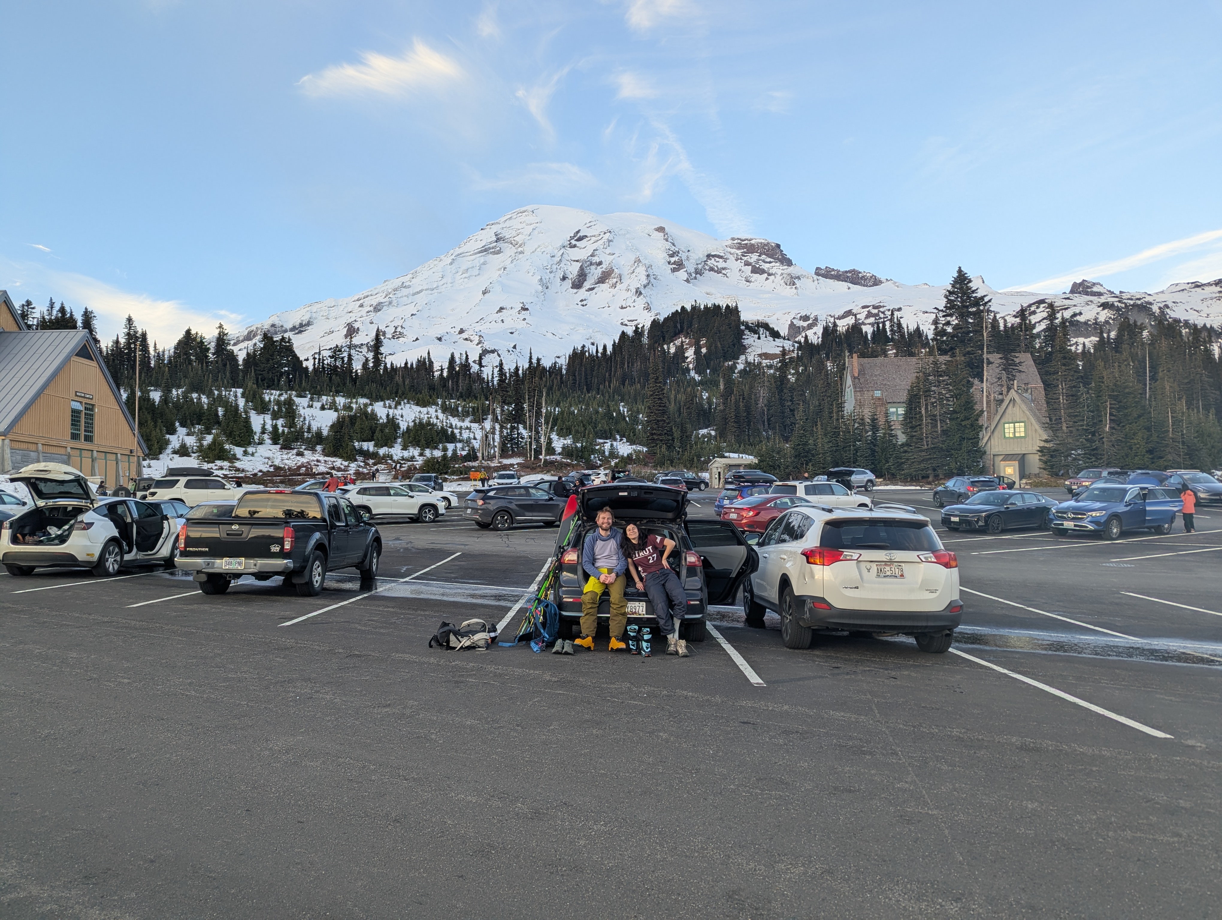
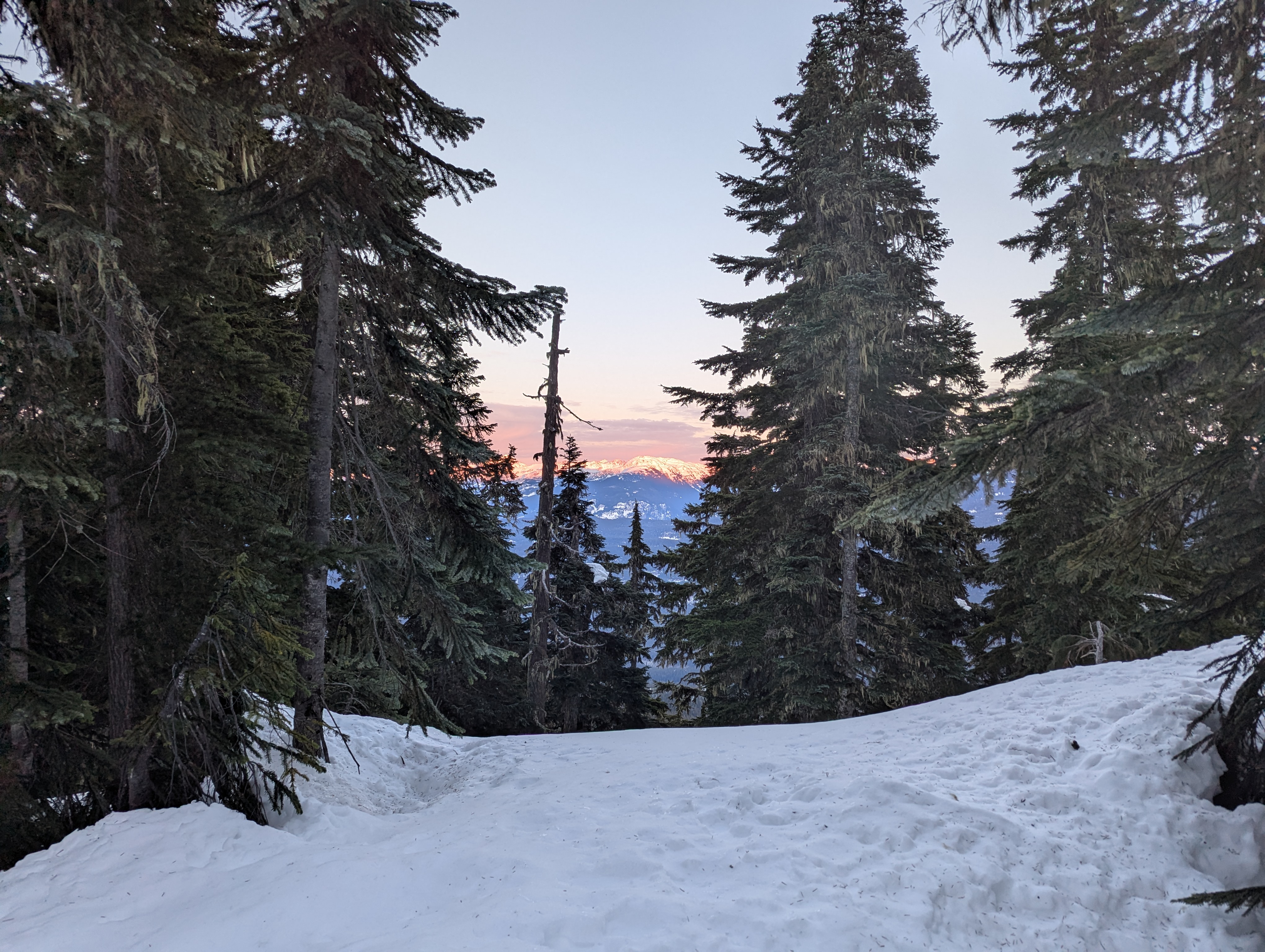
We arrived at the Paradise parking lot around 10:00am to many other skiers and hikers and gorgeous clear skies. While the first opportunity for skinning presented itself only a few steps up the trail, we followed the crowds and kept our skis on our backs for a while longer, walking up the lightly snow-covered trail so we could more esily cross several further patches of bare pavement.
Clear Skies, Big Smiles, Fast Glasses
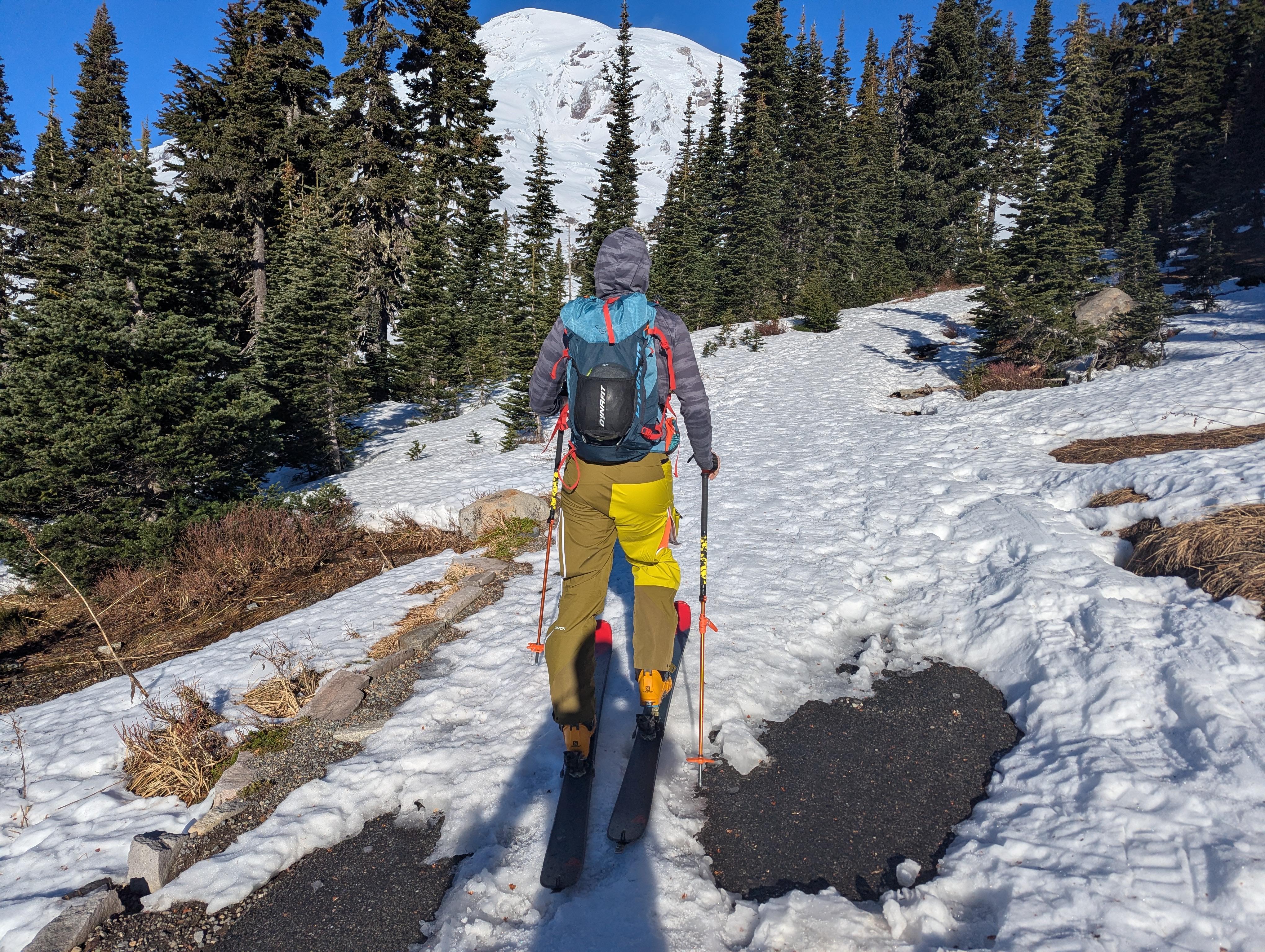
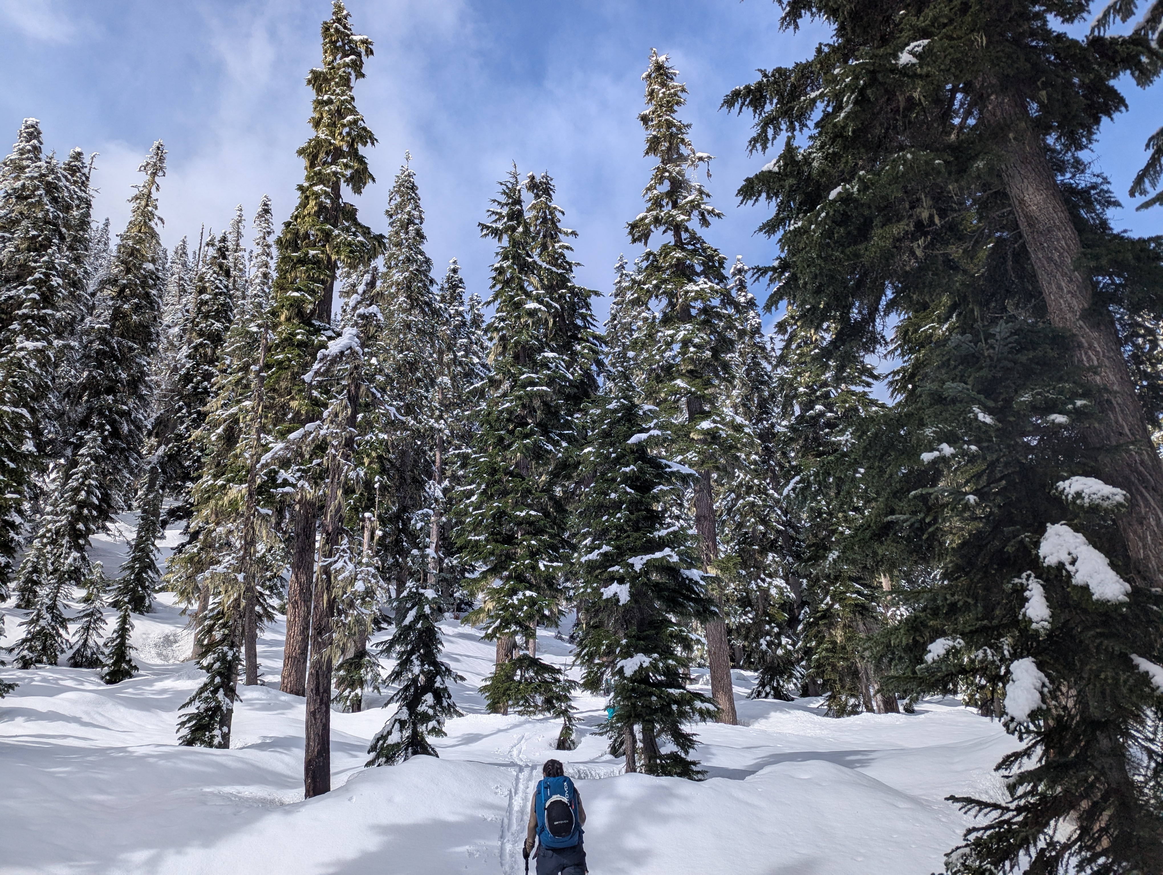
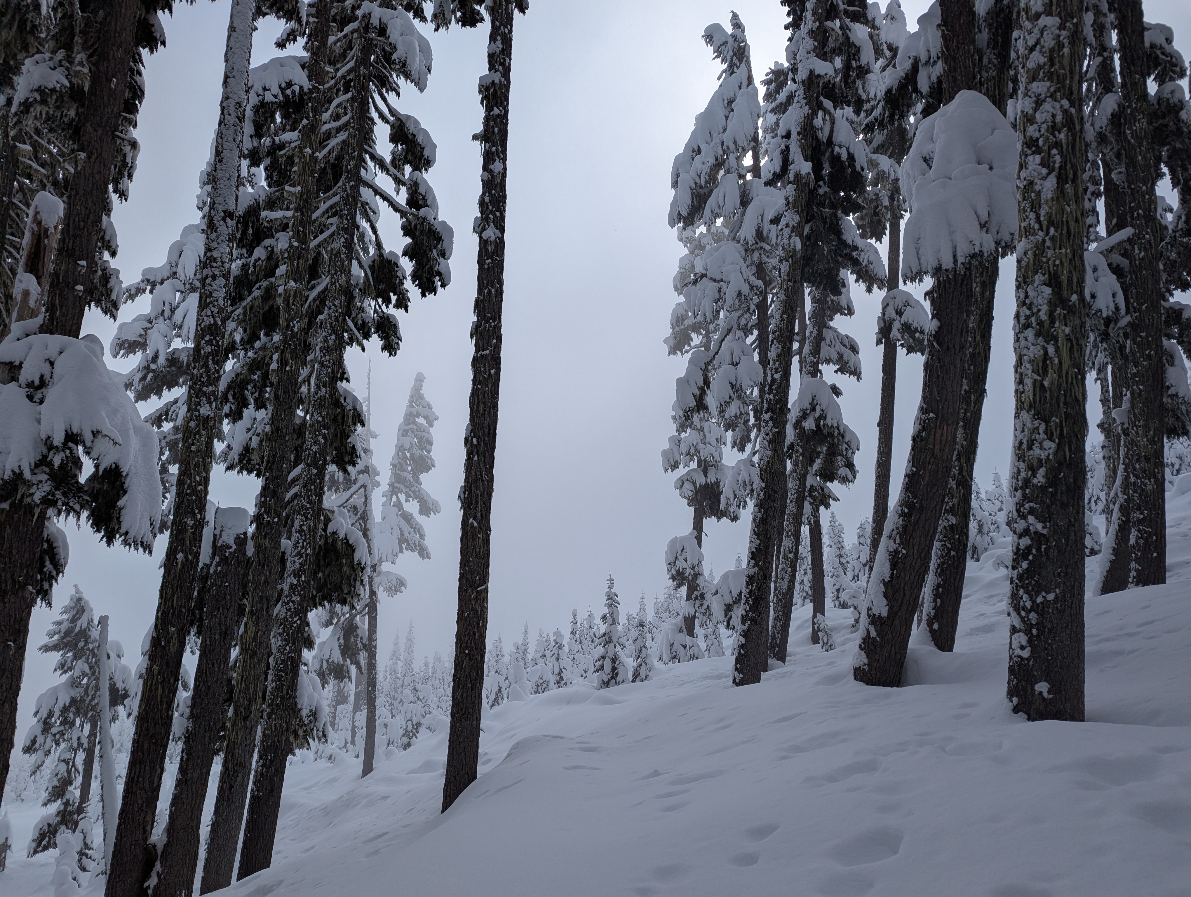
After a relatively short walk, we put on our skis and continued up the skyline trail.
Henk dodging the last few patches of pavementHenk and Anna making good progress upwards
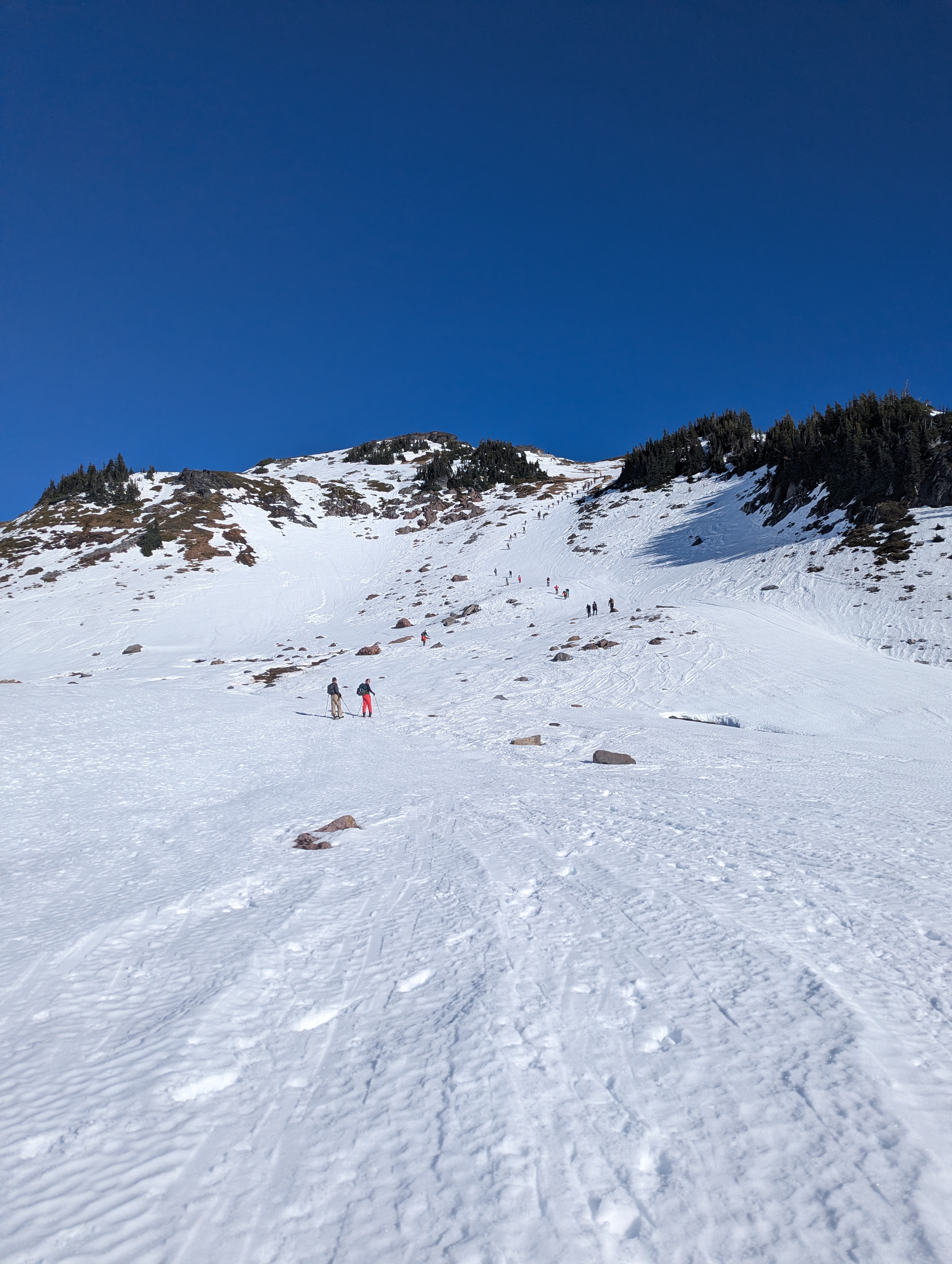
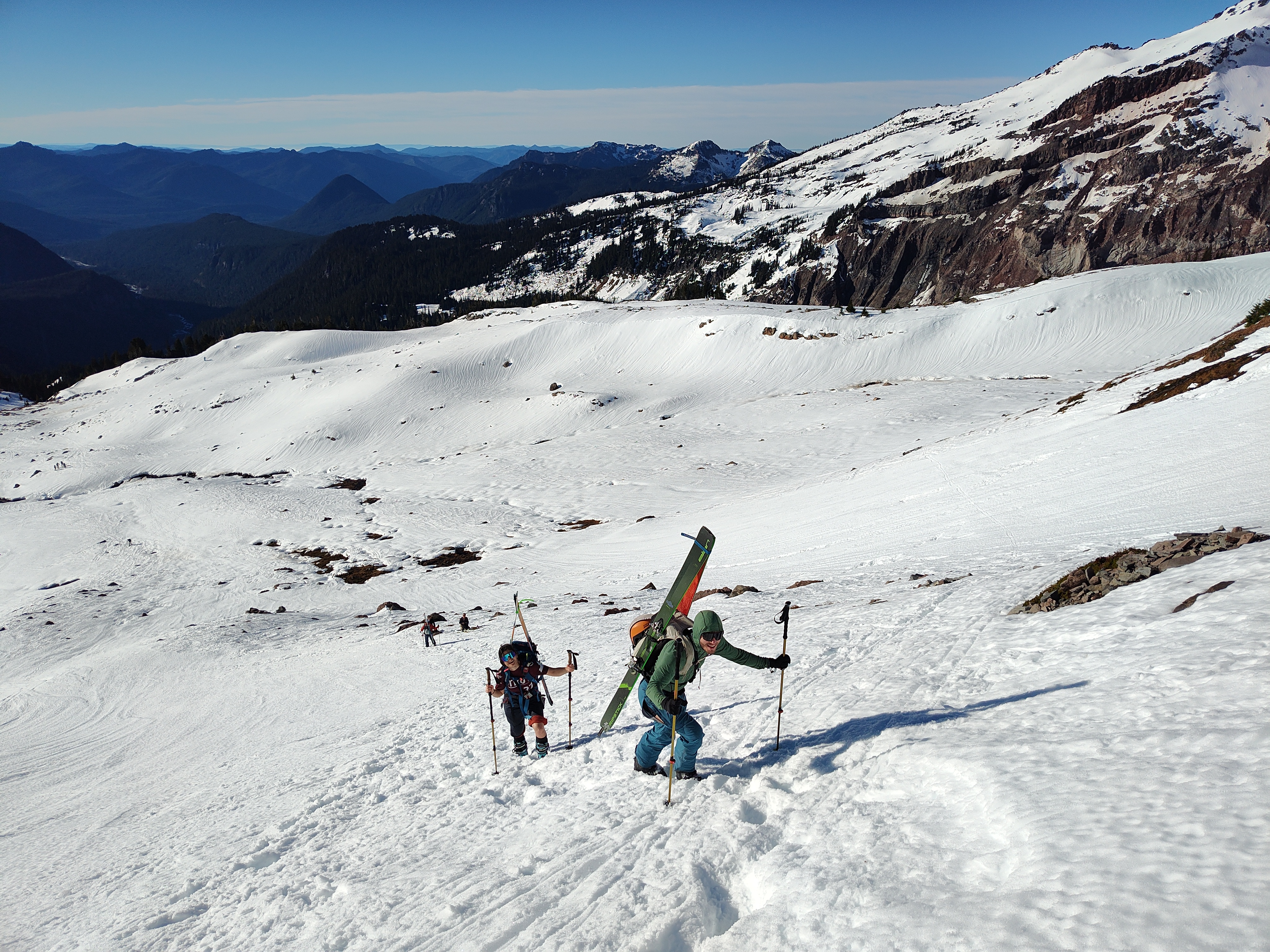
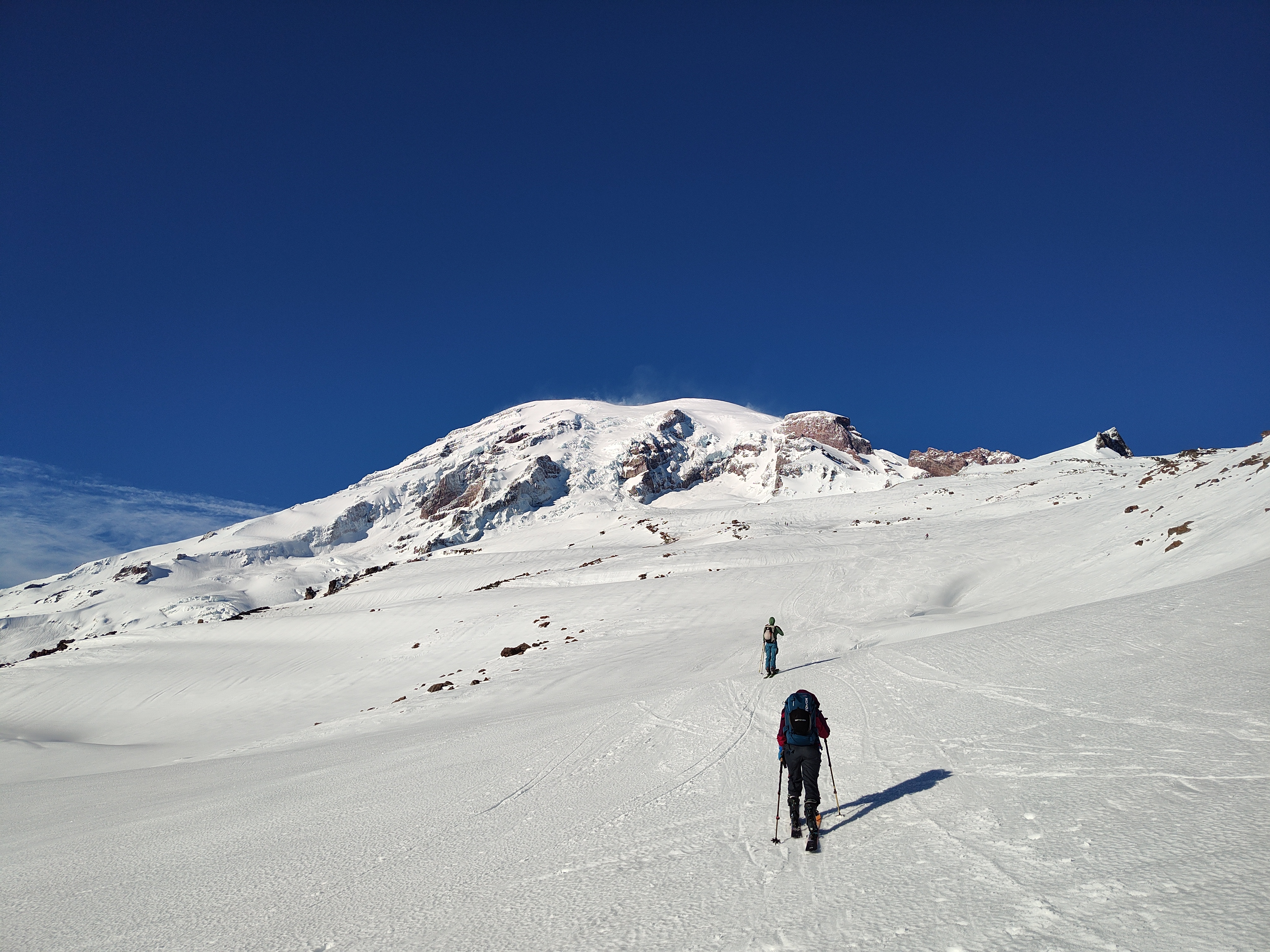
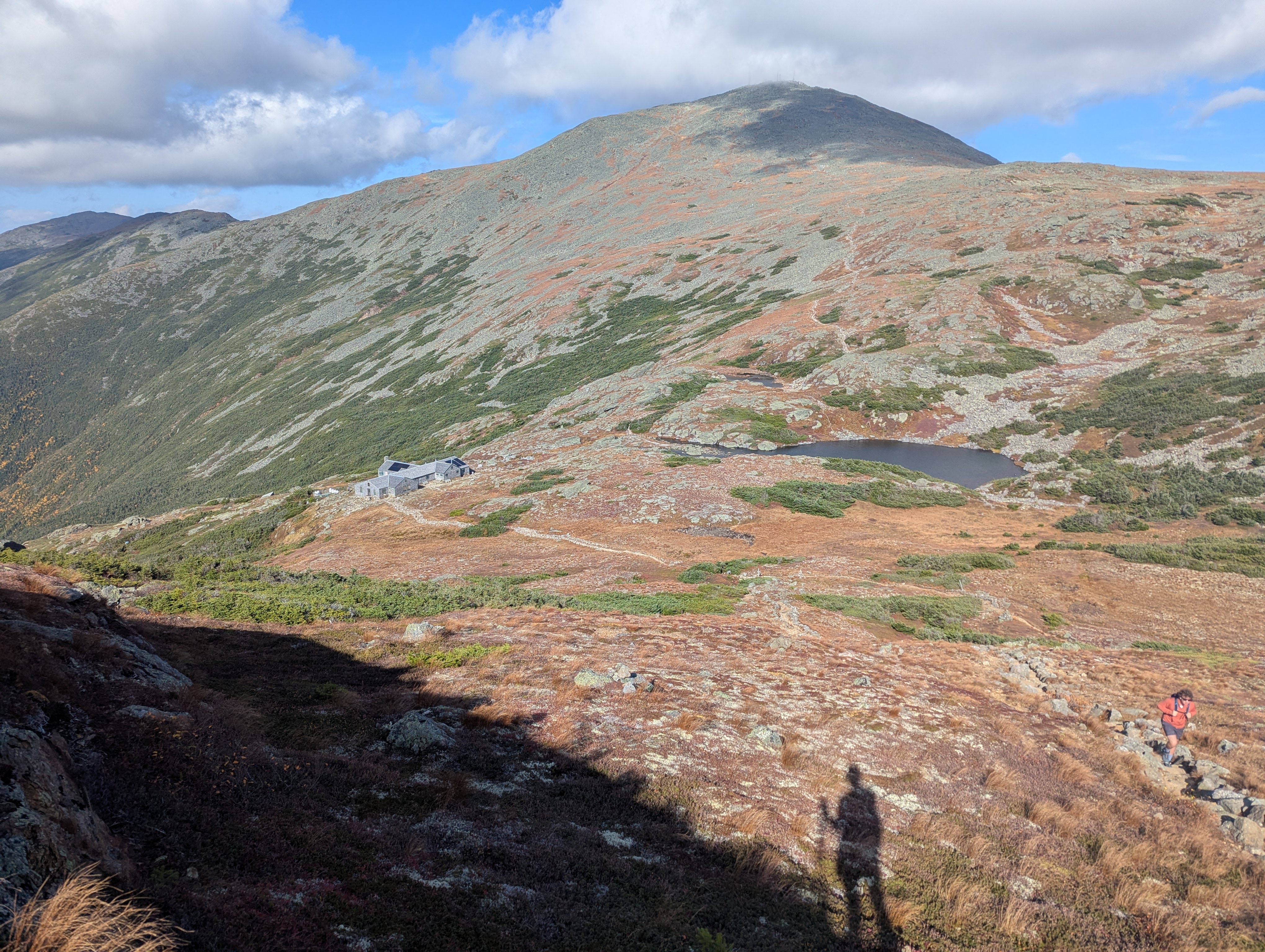
We soon reached the steepest section of the trail, right below Panorama point. Between the Skiers and Hikers/Snowshoers it was quite crowded, but everyone respectfully stuck to the bootpack on the left side of the slope.
Looks like a ski resort! Just without the lifts
Then it was our turn to boot.
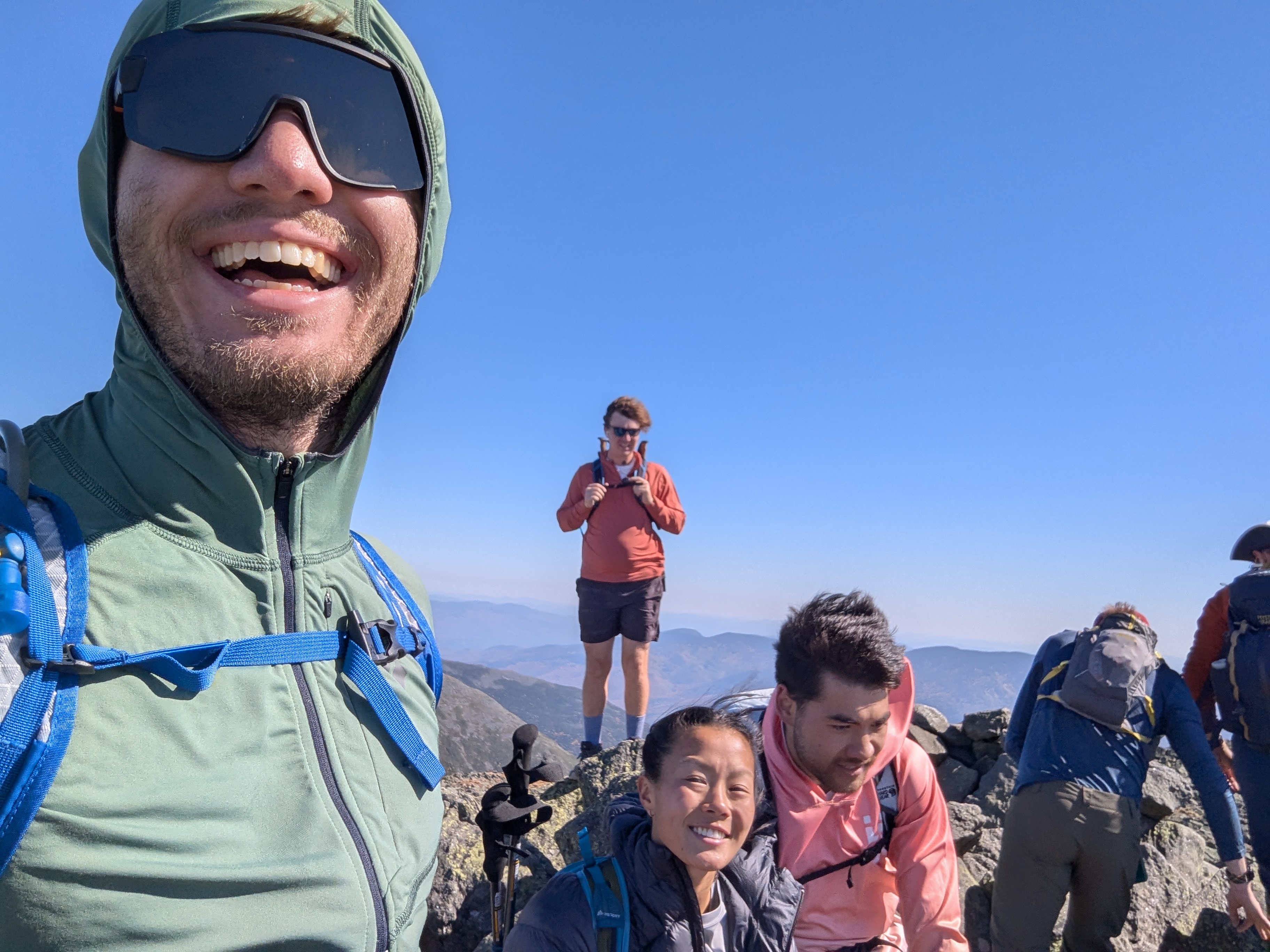
Henk, Anna, and I bootin' away
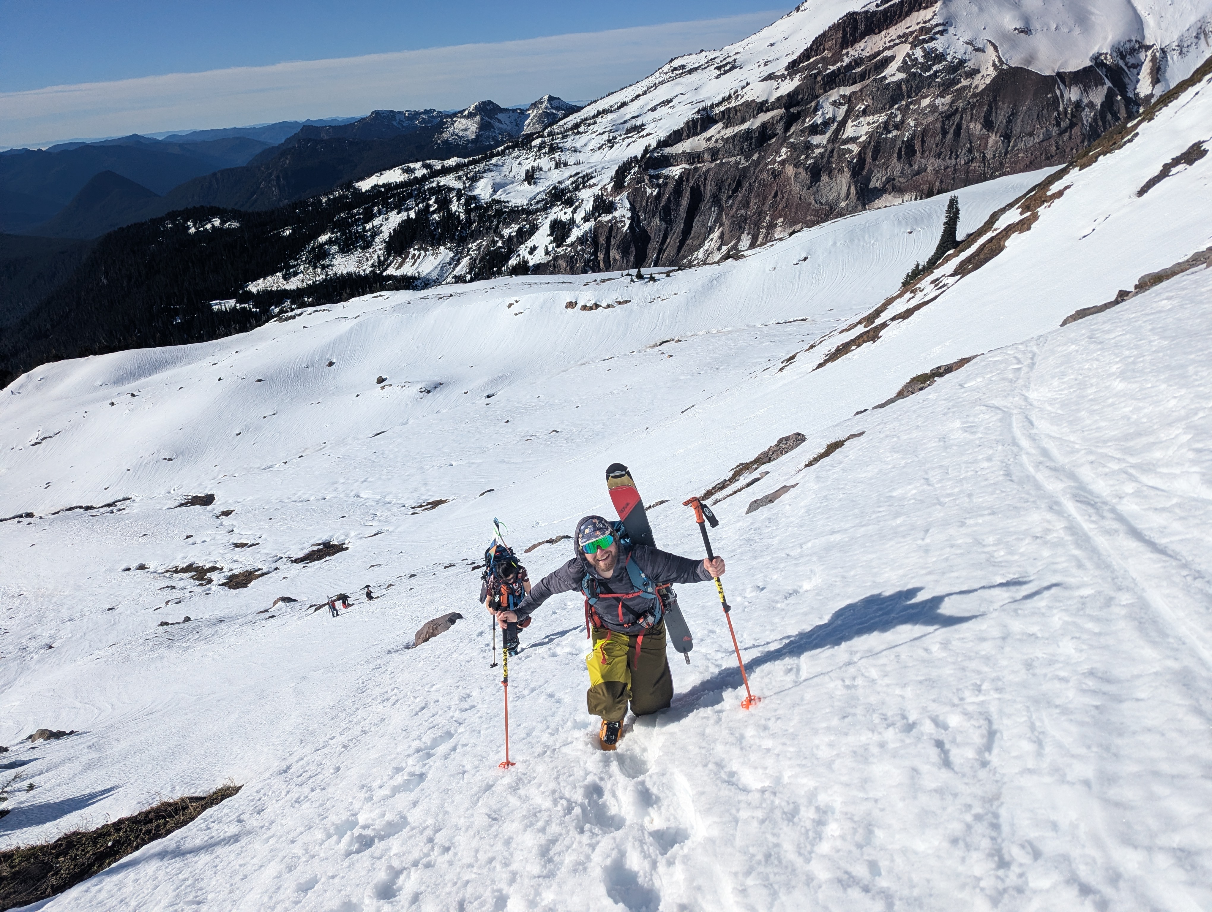
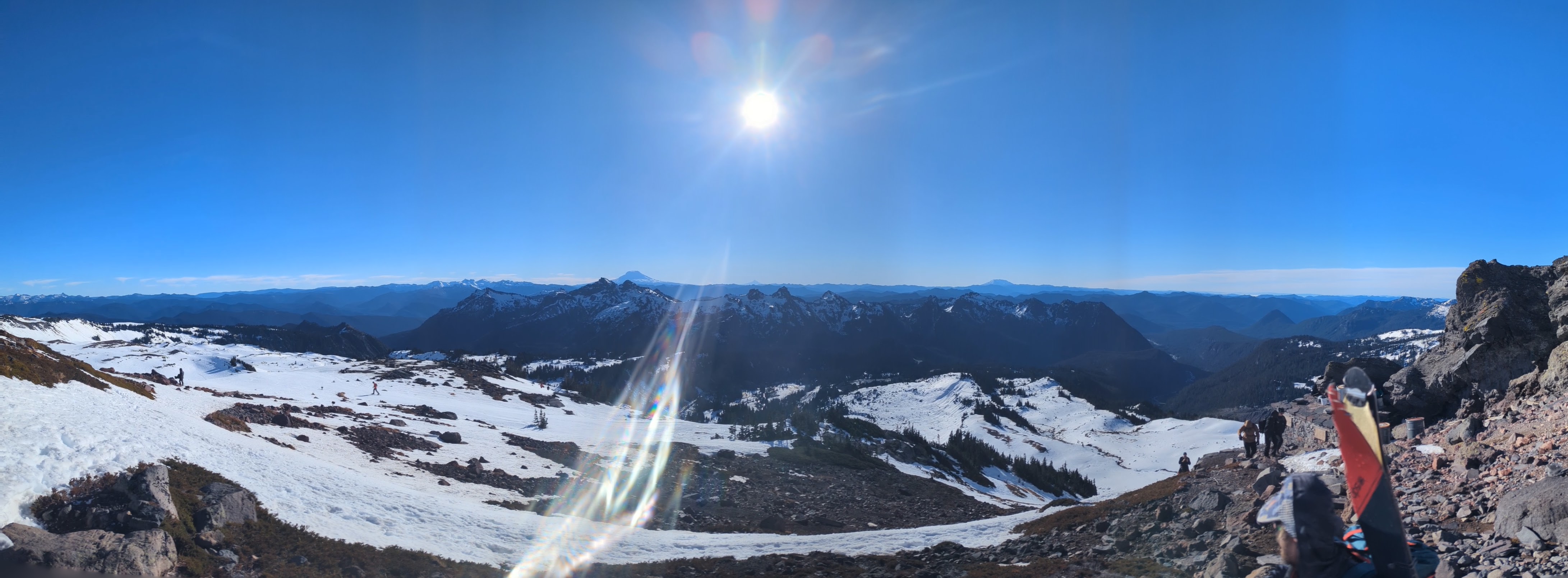
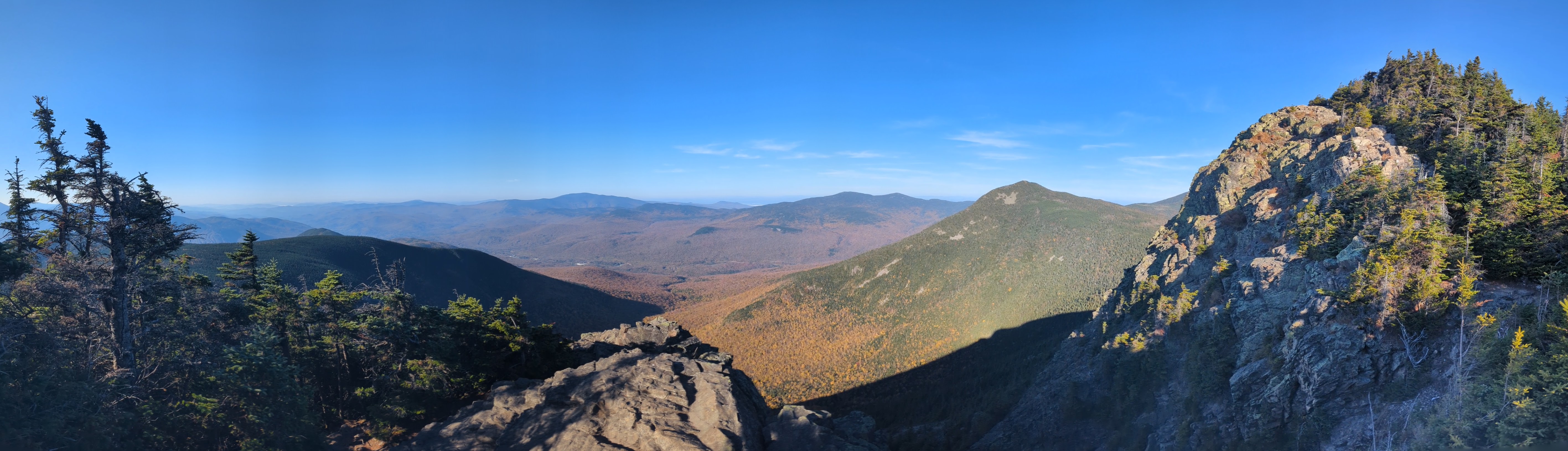
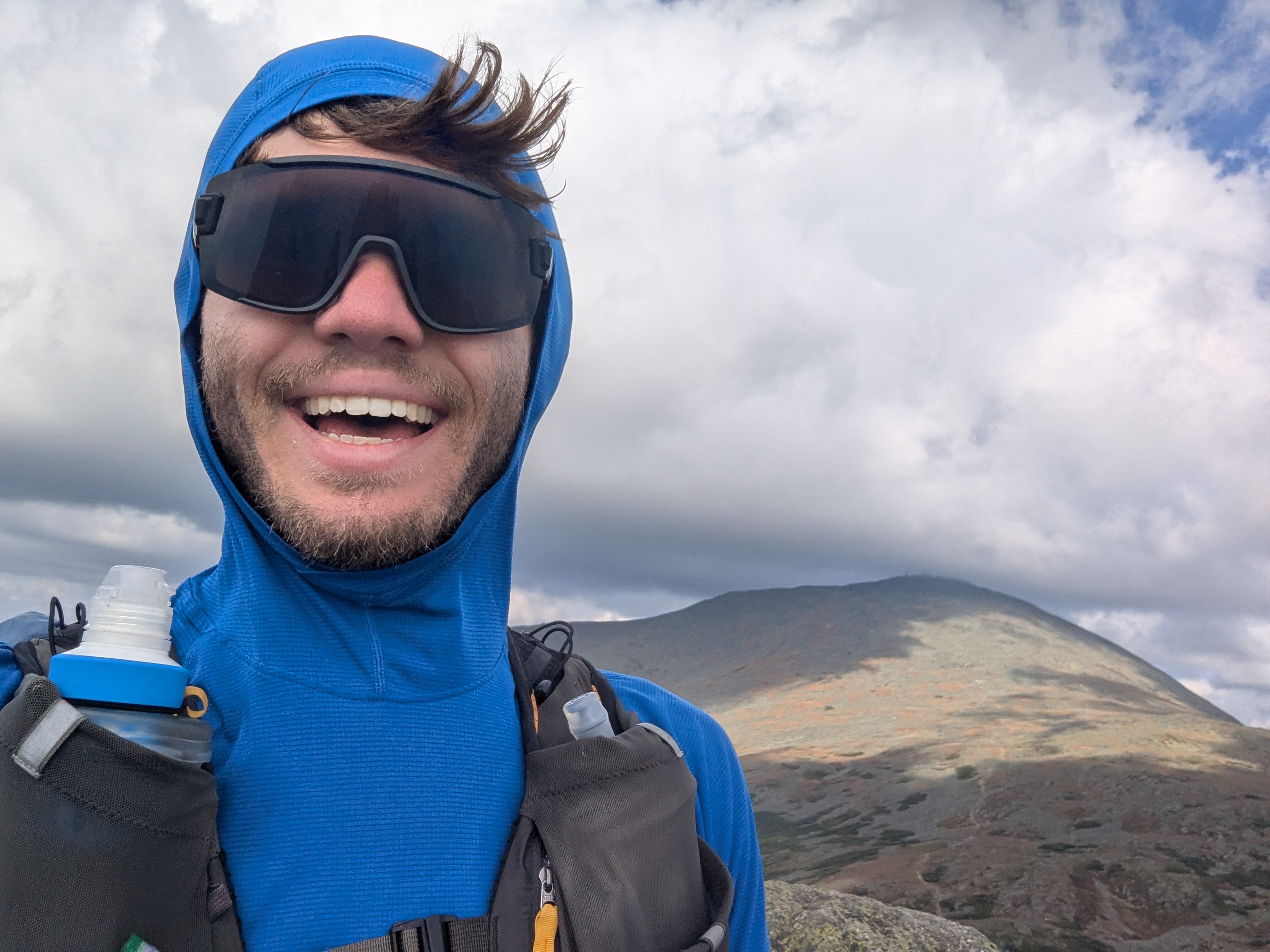
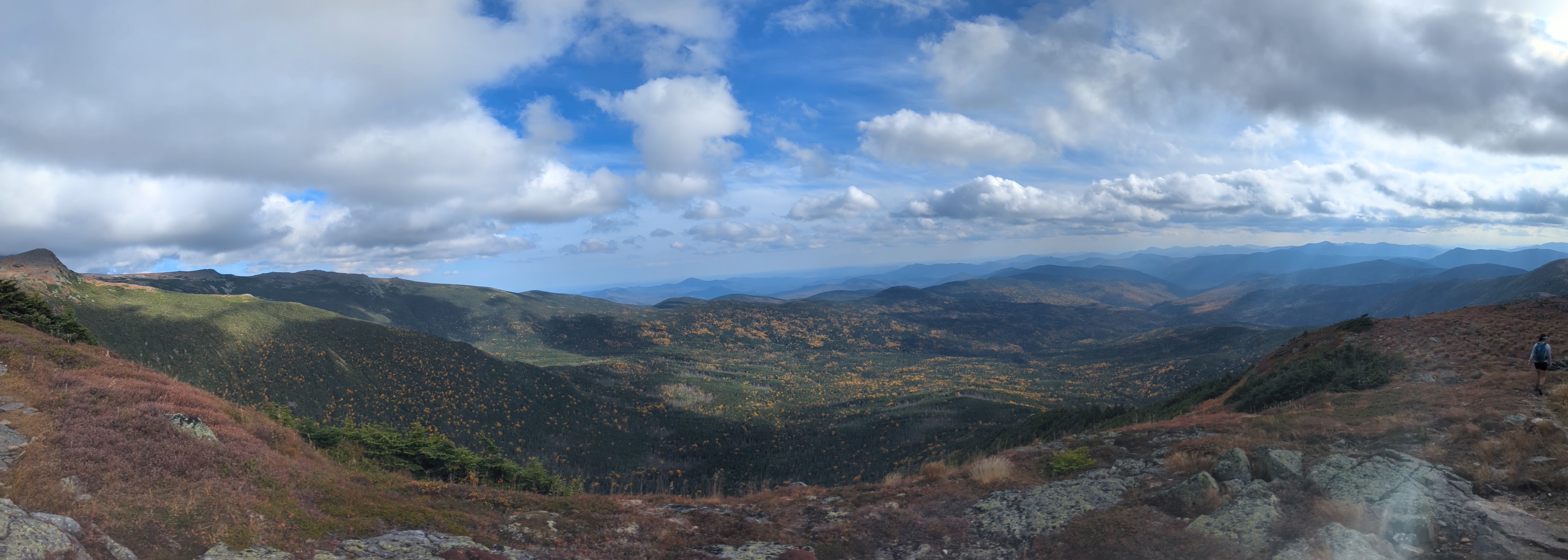
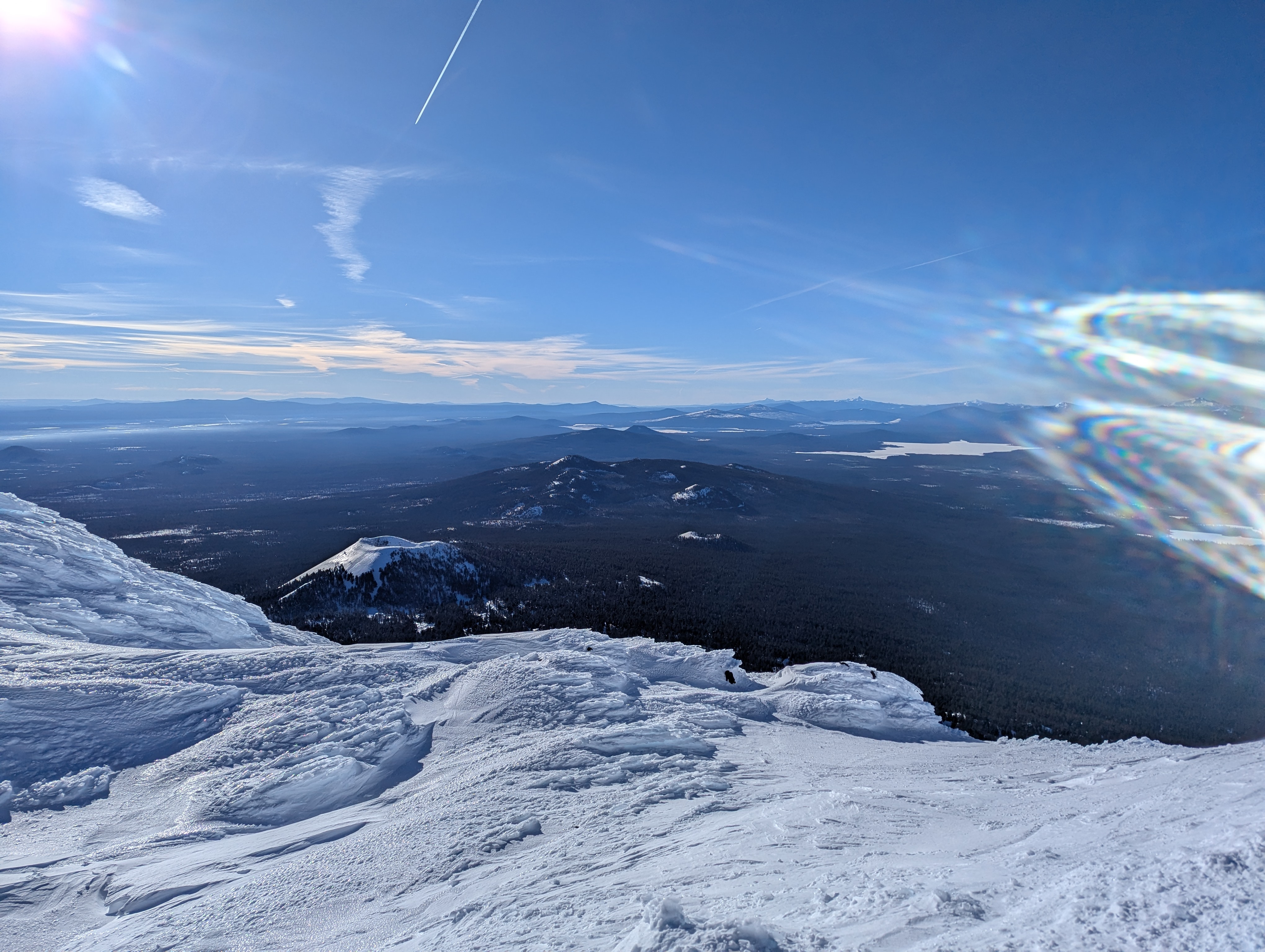
We reached Panorama Point (~6900 ft.) and took in the view,
Obligatory Panorama from the eponymous point. From left to right: Lawetlat'la (St. Helens), Hood (pointy in the far distance), Pahto (Adams), Poop Barrels
And kept our skis on our back for a while longer, first for a relatively steep bootpack right above the point, and then for some easy walking on exposed rock.
Anna cresting the ridge above Panorama Point
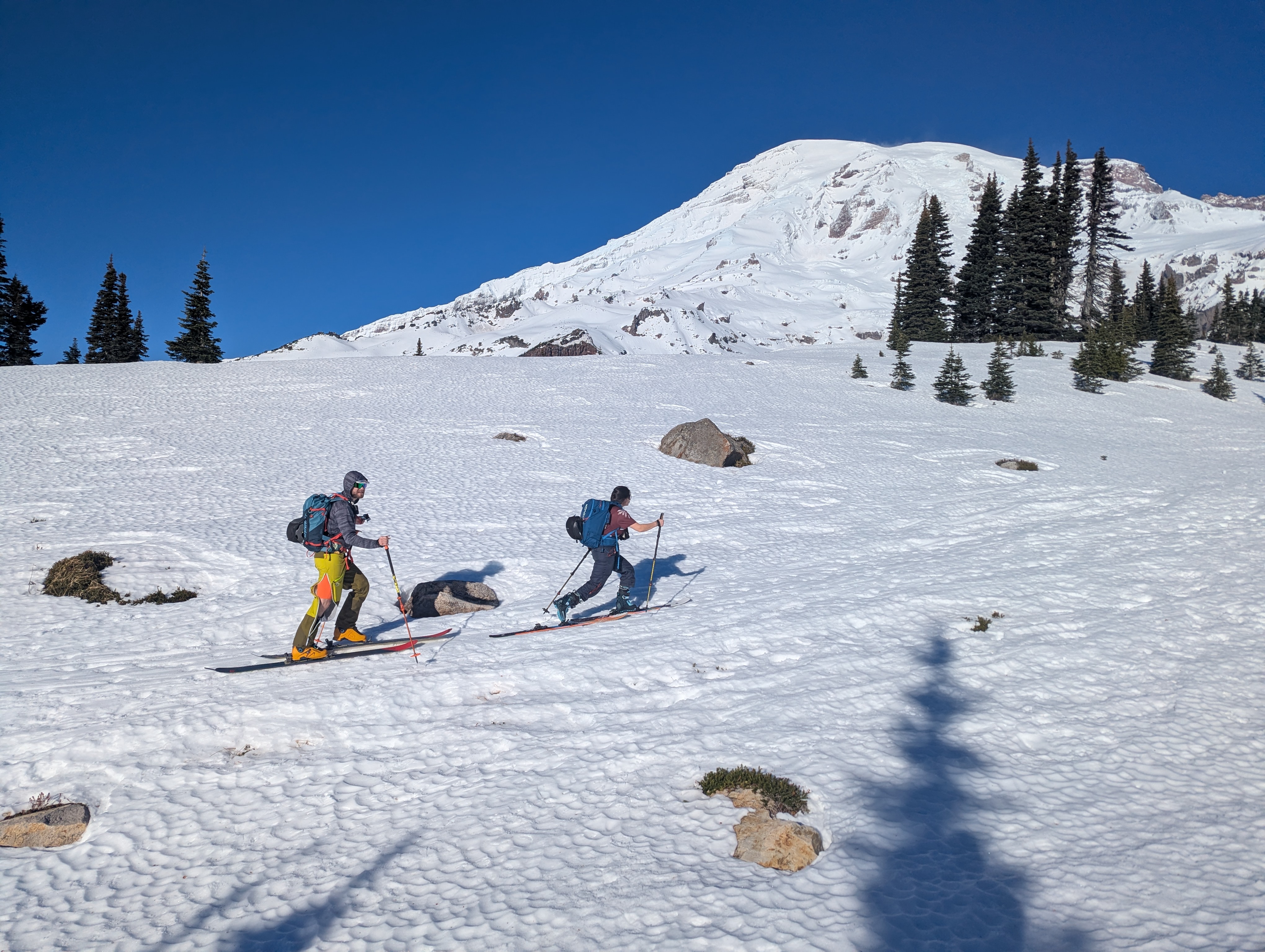
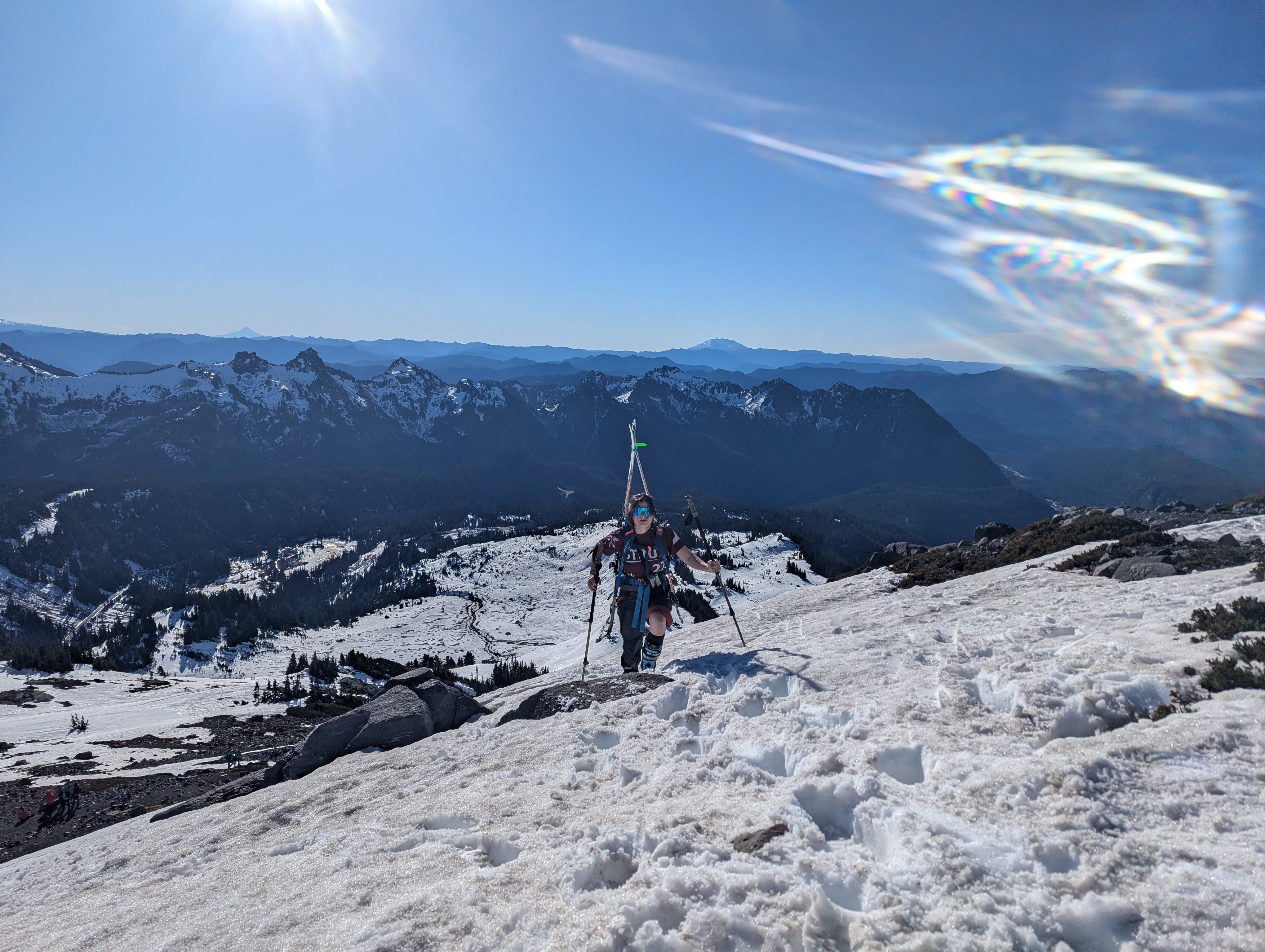
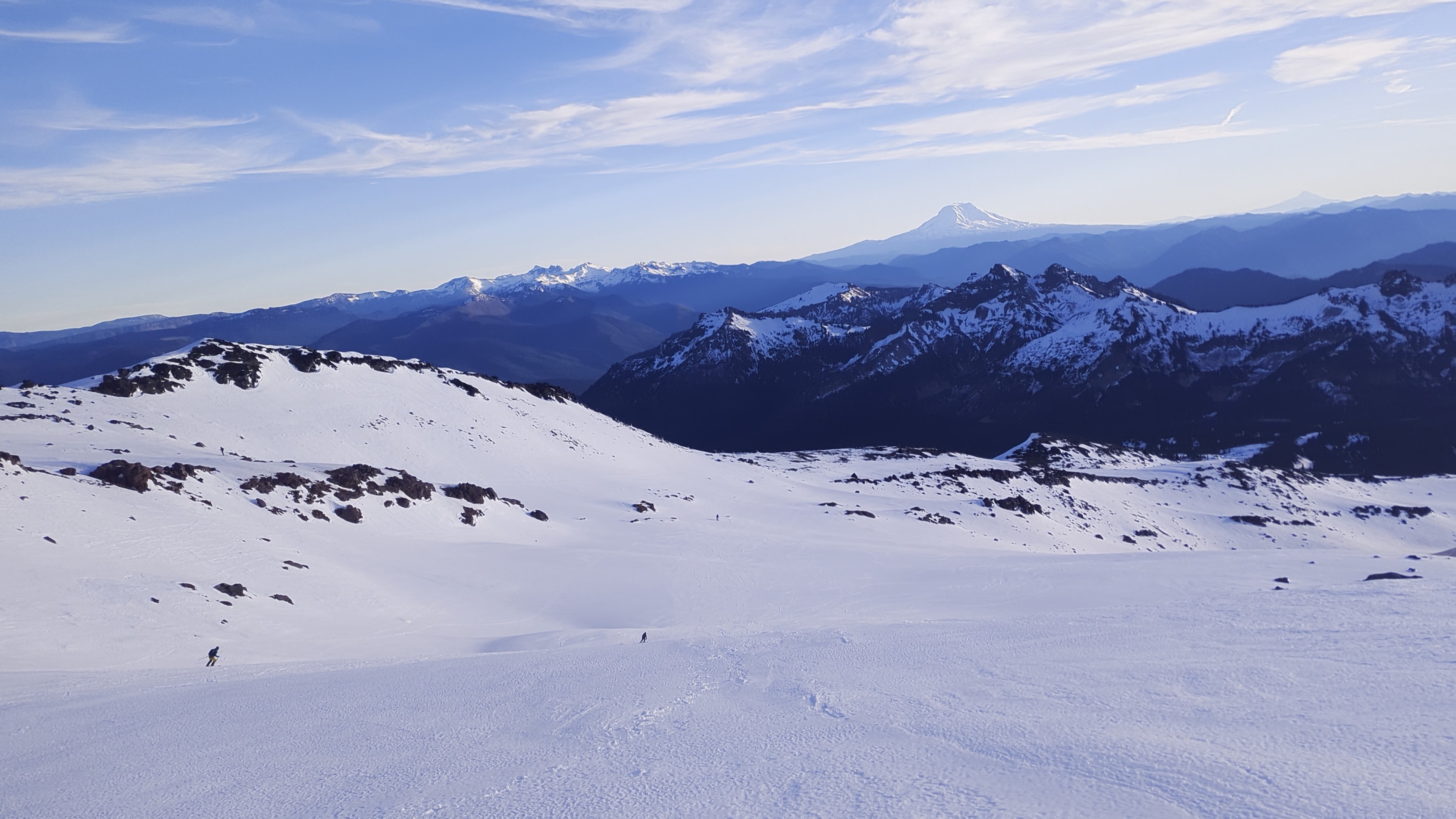
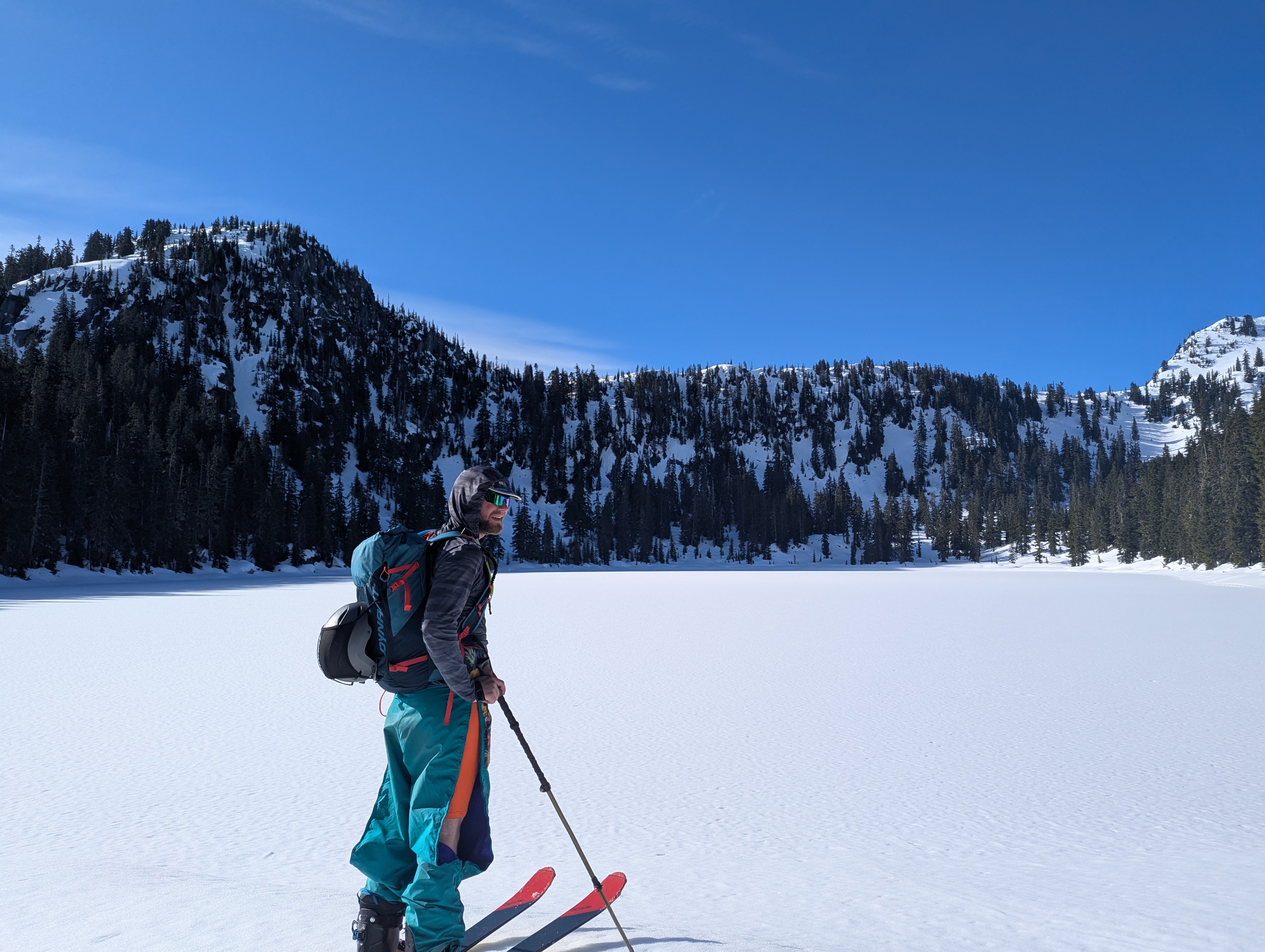
From there it was straightforward skinning on firm snow up to ~8500 ft.
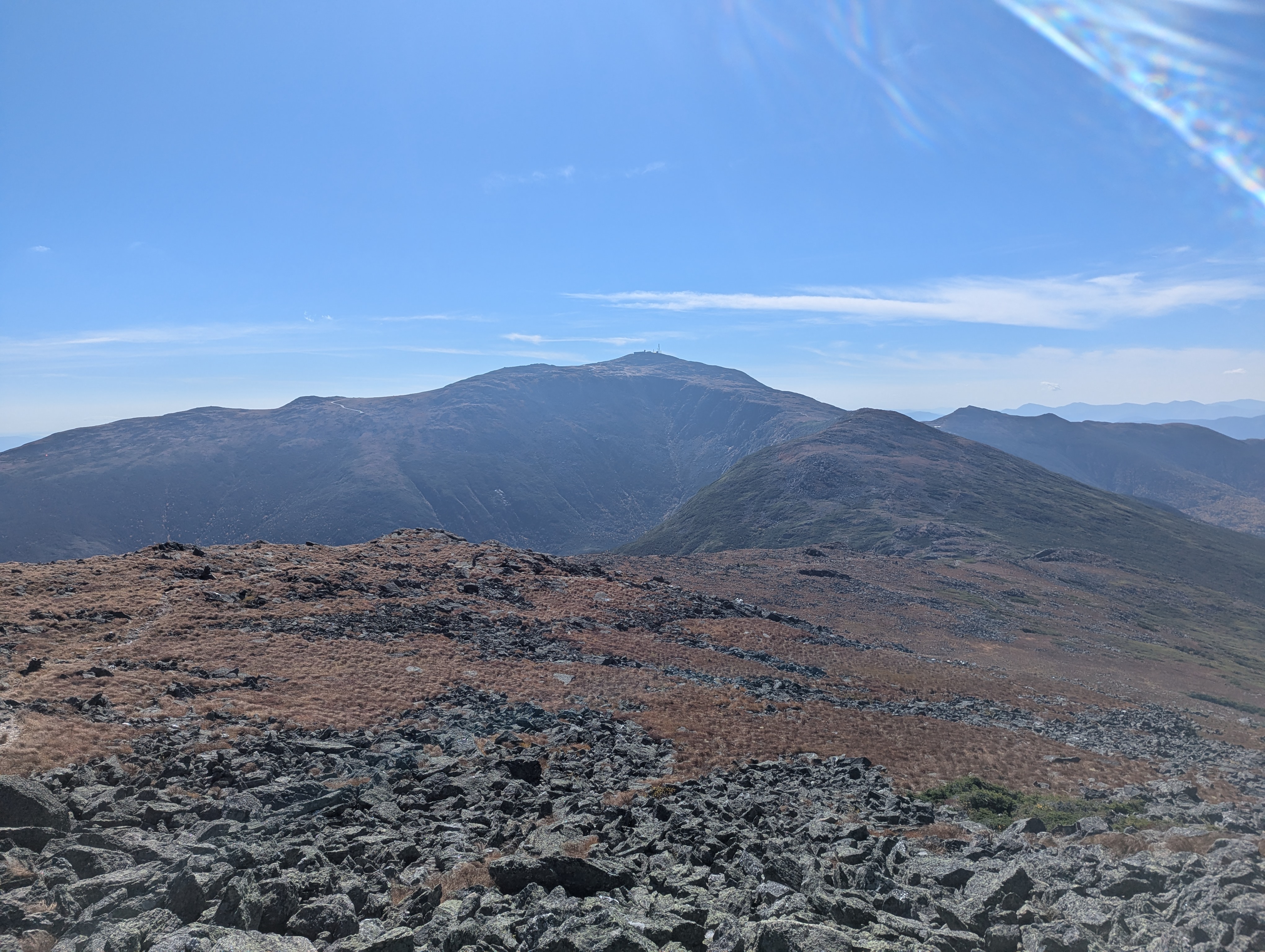
Open, low-angle slopes
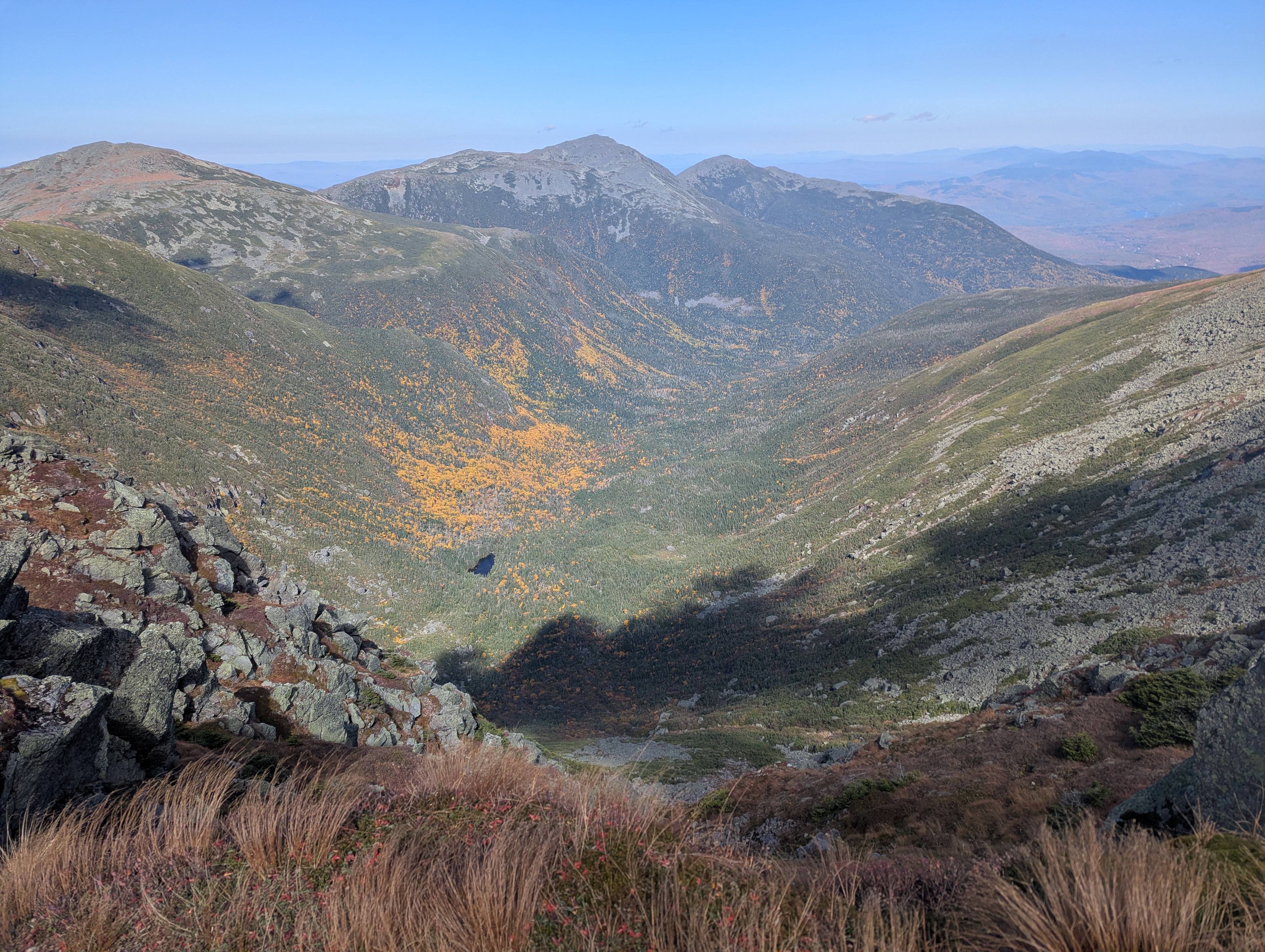
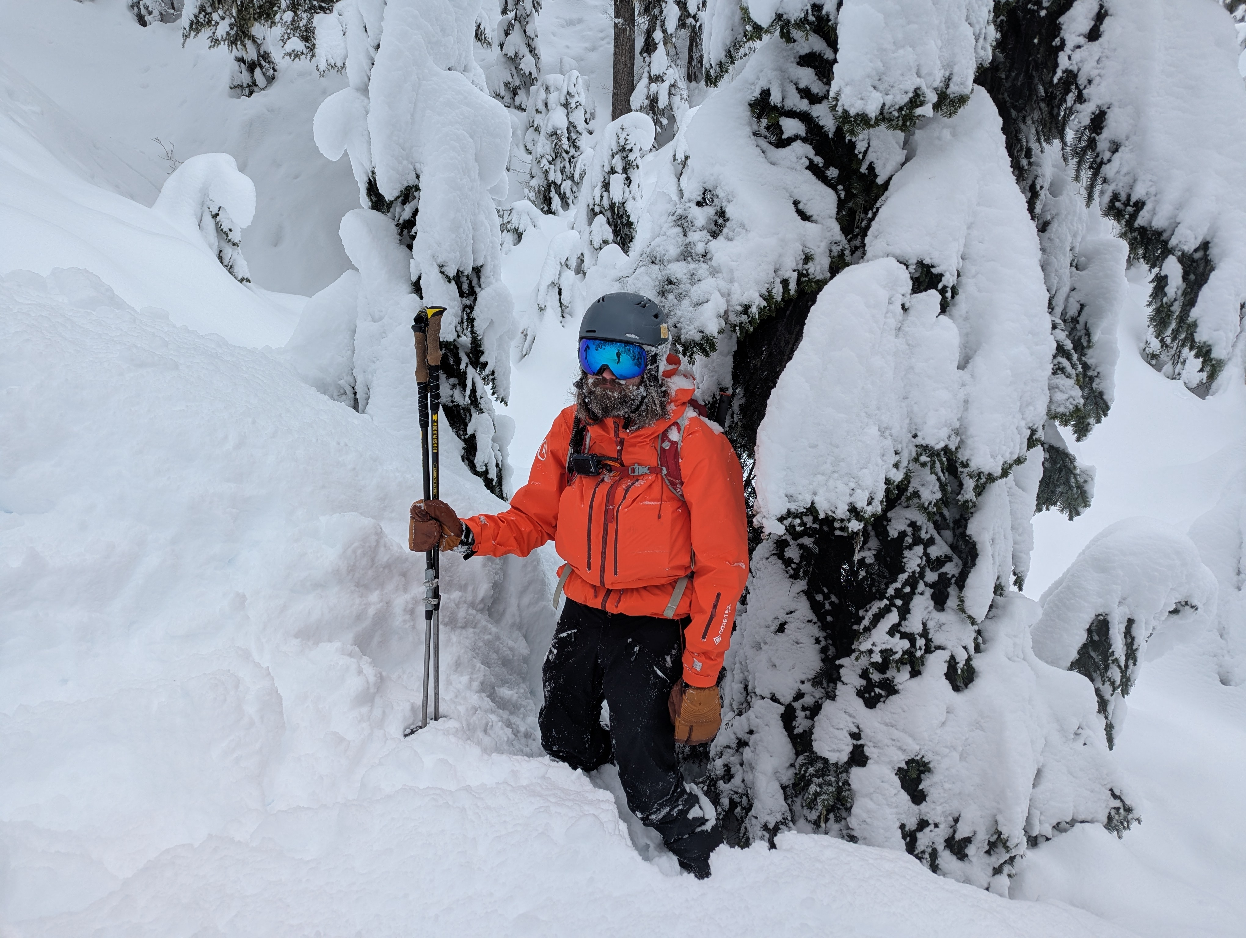
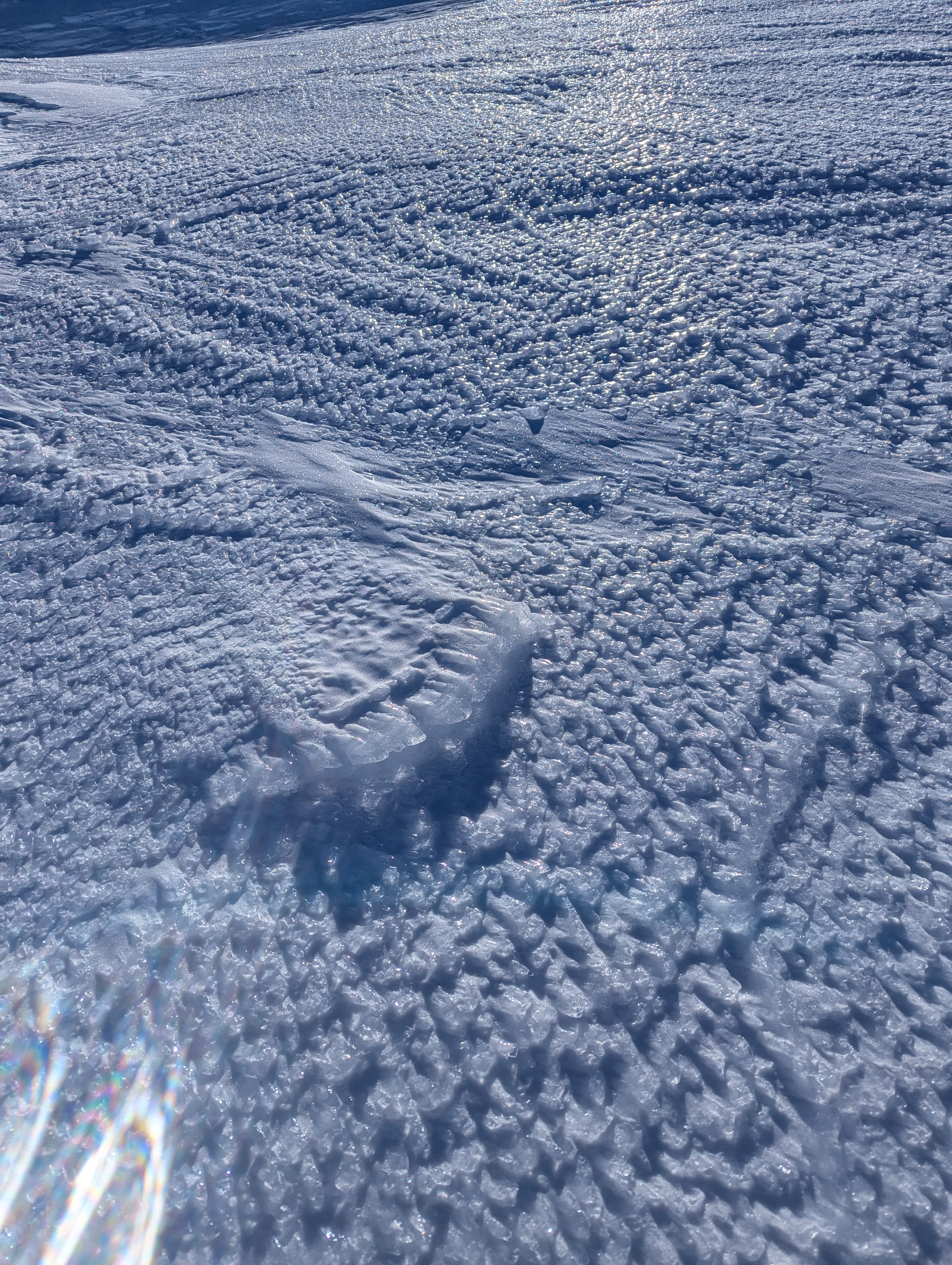
We made steady progress up the mountain, but as we ascended the wind picked up and the snow developed a thick icy crust. Lacking ski crampons, Anna waited at Moon rocks (~8700 ft), checking in with Henk and I over the radio as we scouted ahead. The wind and ice only increased, and being close to our turnaround time anyway, we called it soon after at around 9000 ft. I found a flat spot, did my best to kick into the ice enough to not slide away, and tried to transition as quickly as possible to get back out of the by now constant wind.
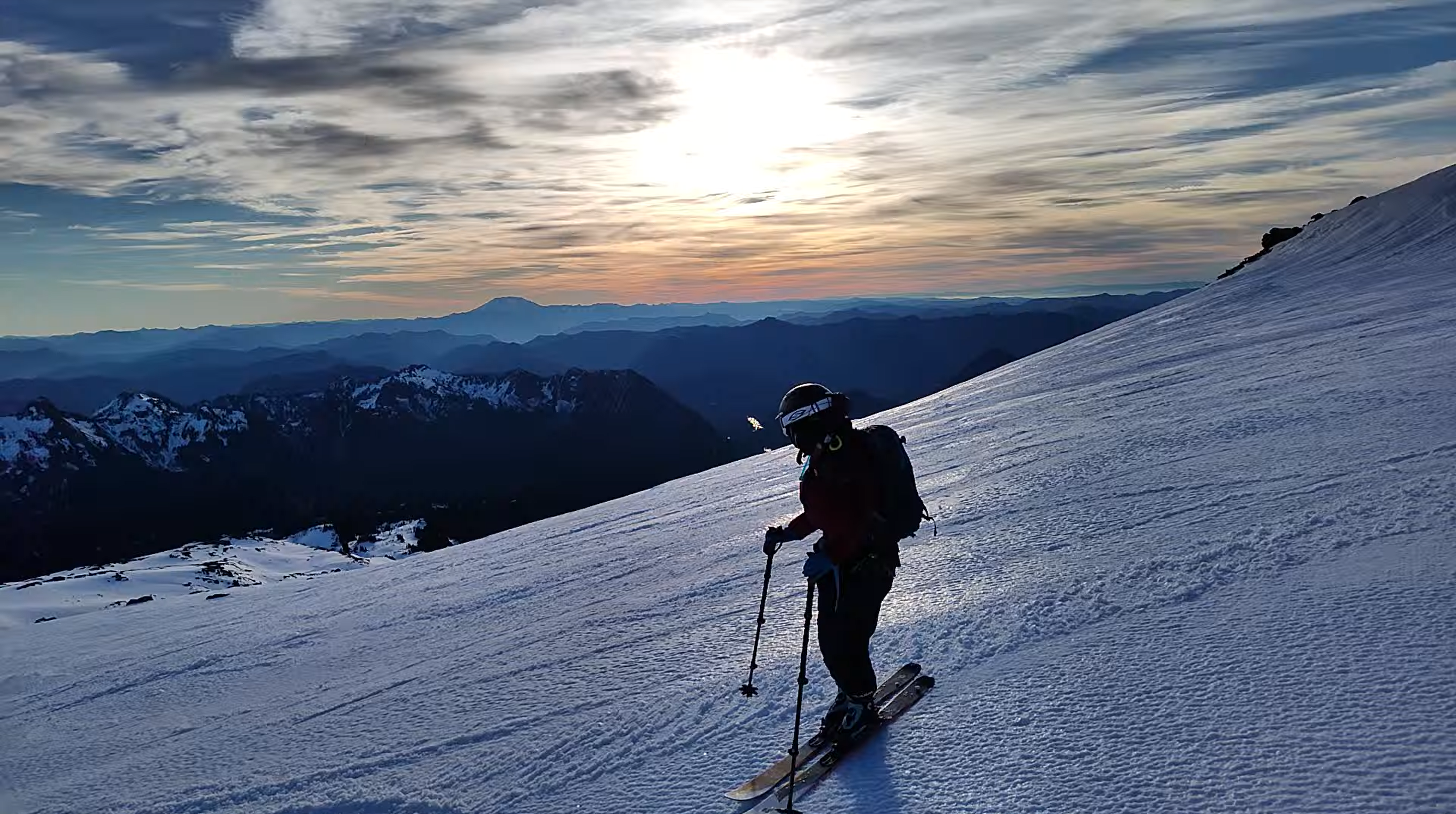
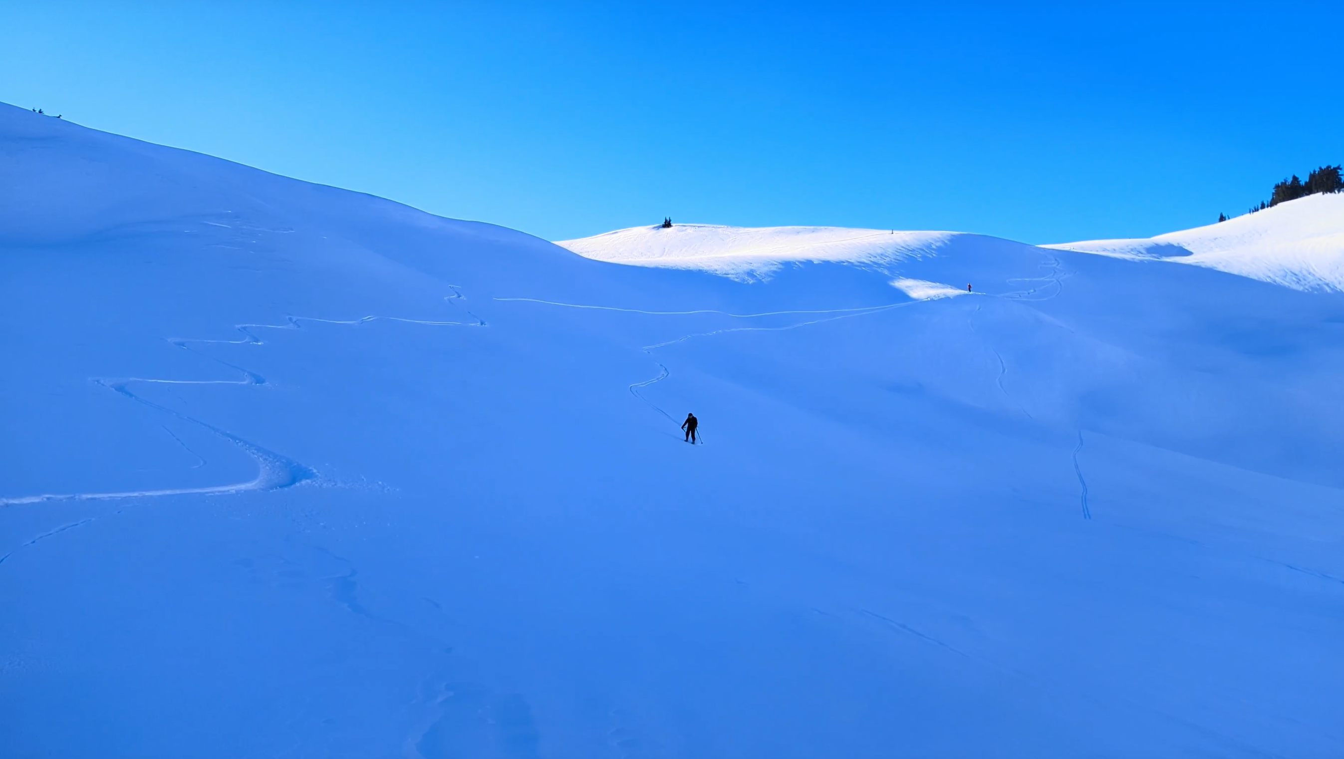
After a bit of chatter and scrape on the icy sections, we enjoyed a long descent on firm, wide-open slopes reminiscent of a groomed resort trail late in the day.
Probably my favorite capture of the trip - a still from a video of Henk and Anna skiing back down the Muir Snowfield. Lawetlat'la and Hood in the background
The vast open slopes reminded me of skiing in the Alps as a child, but with the addition of the volcanoes (Tahoma looming above and Lawetlat’la, Hood and Pahto in the distance) created a skiing ambiance like nothing I had experienced before.
Anna examining the next part of the line, with the sunset and Pahto in the backgroundSkiing past Anna towards the end of the snowfield
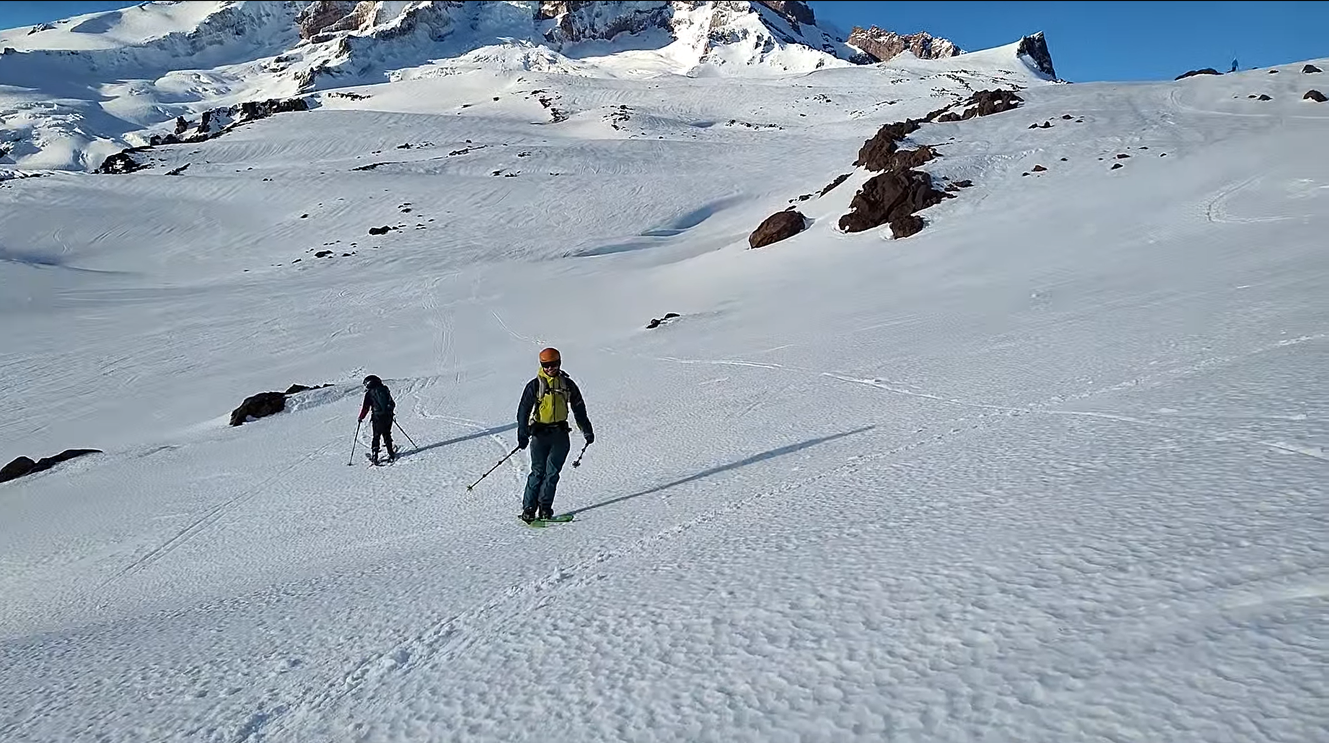
After the snowfield we primarily followed our uptrack back down. We took a skier’s right around Panorama point, which allowed us to bypass the bootpacks but did force some fairly low-coverage skiing on steeper slopes. While we did have to take our skis off a few times to walk across exposed pavement, we managed to ski pretty much to the parking lot - not bad for such a low-snow year!
Back at the car
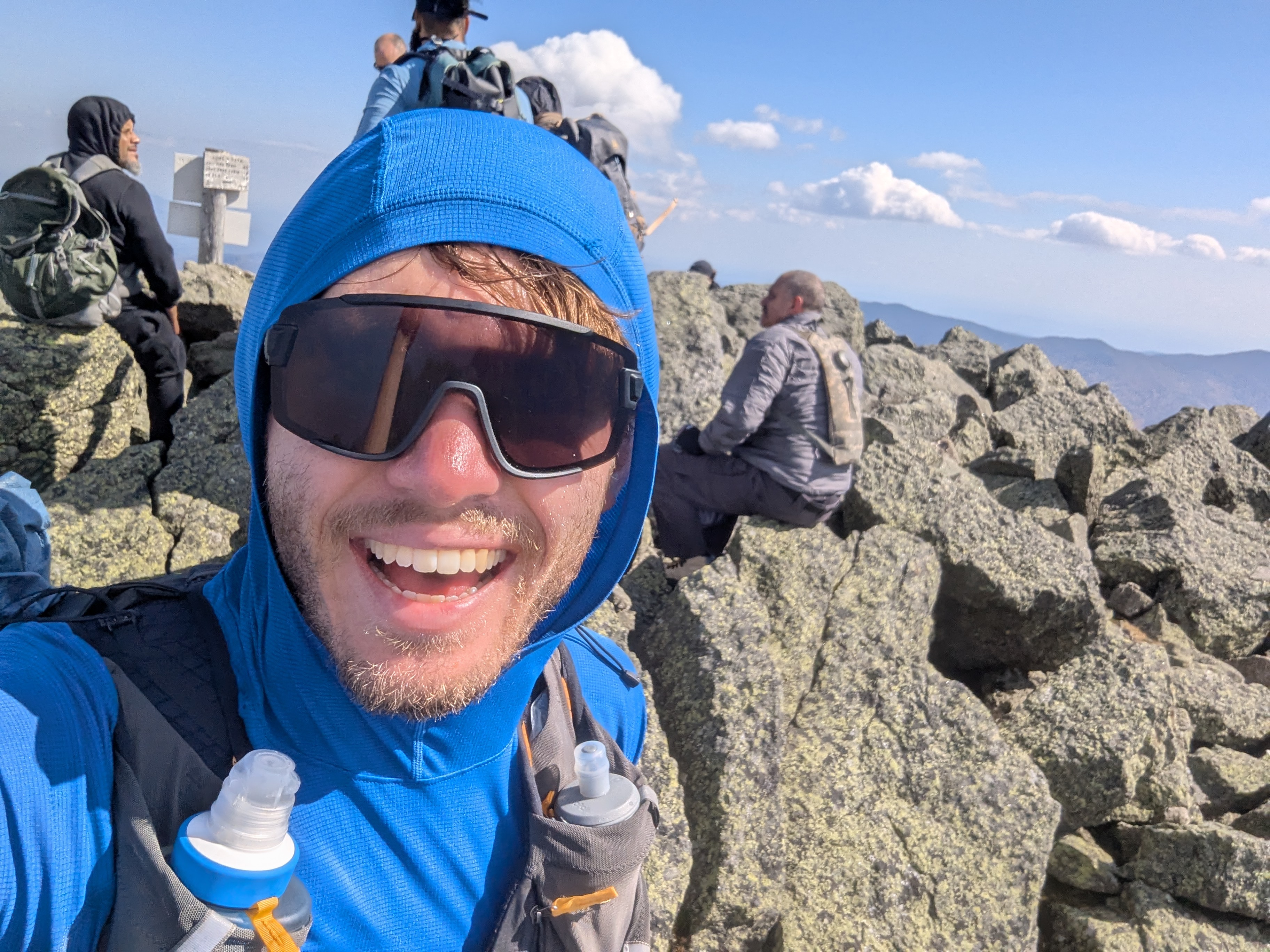
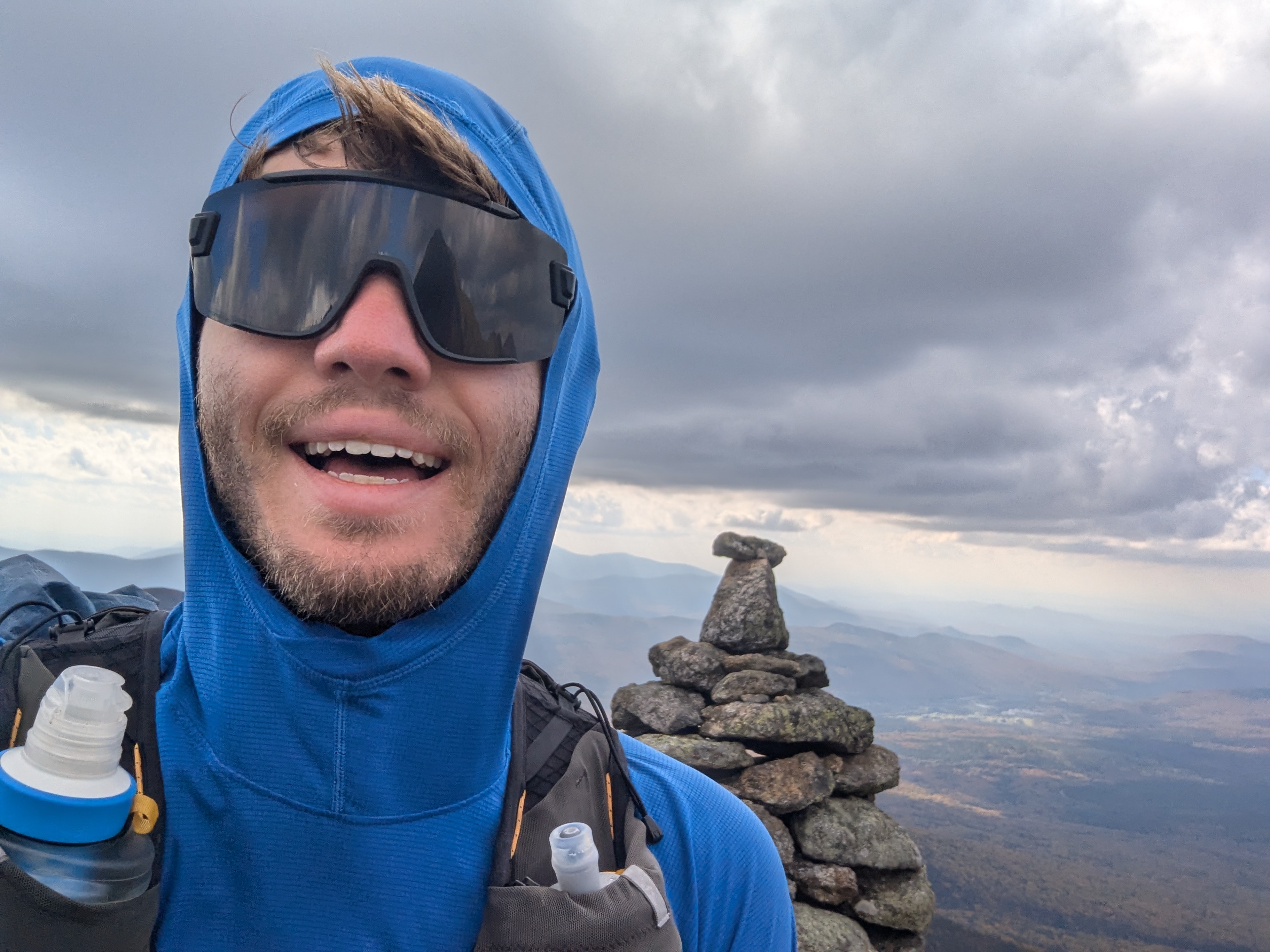
]]>Linus KoepferRunning the Pemi Loop2025-10-06T00:00:00+00:002025-10-06T00:00:00+00:00https://linusoutside.com/2025/10/06/pemi-loopThe Pemigewasset Loop is another popular hike/backpack/trail run in New Hampshire’s White Mountains, and was my other running goal for the 2025 season. Having successfully hiked and run a Presidential Traverse the previous weekend, and with good weather in the forecast, I took the day off work and once more drove North, sleeping at a rest stop on Sunday night for an early start on Monday Morning.
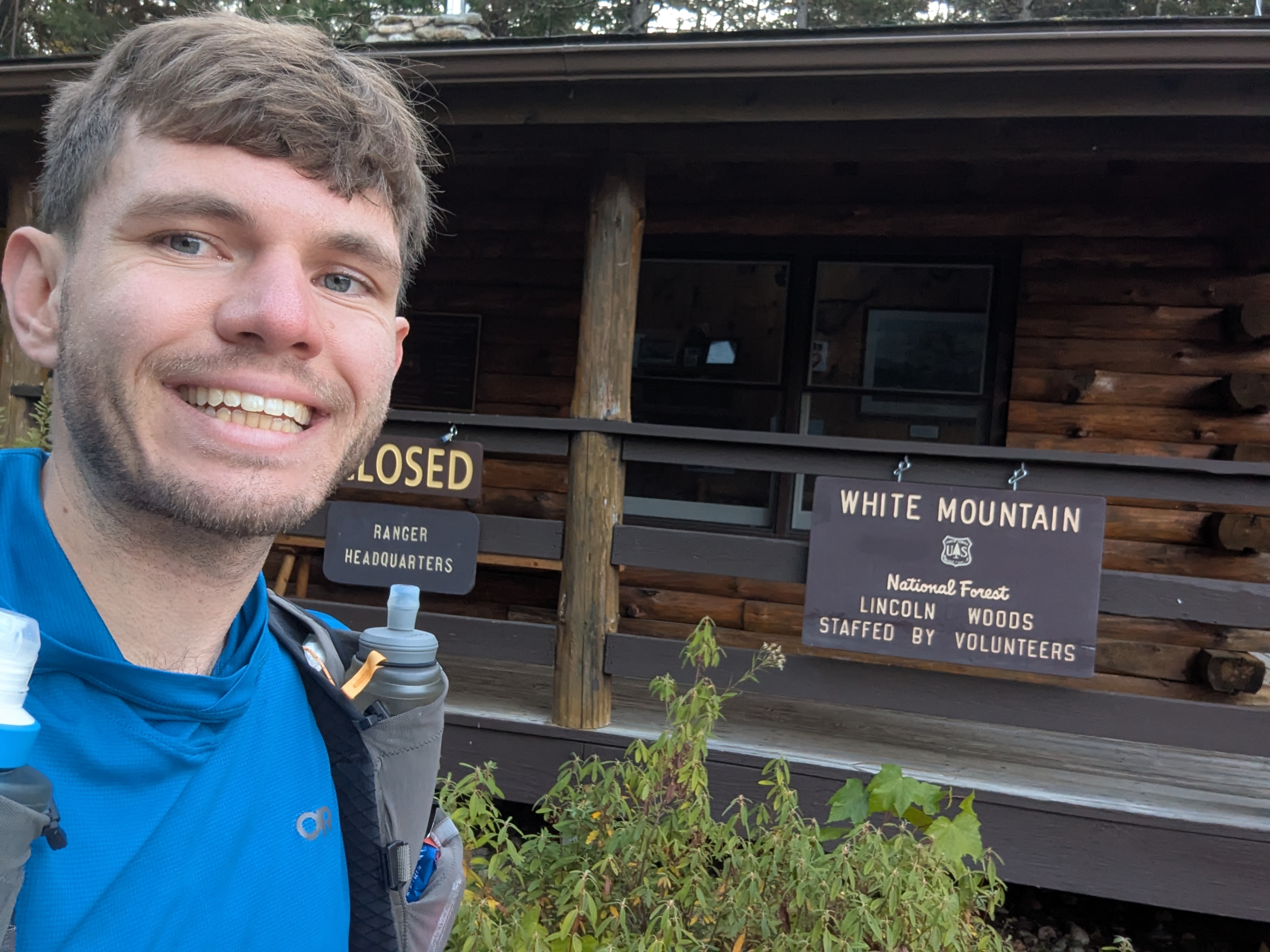
That sign can’t stop me ‘cause I can’t read
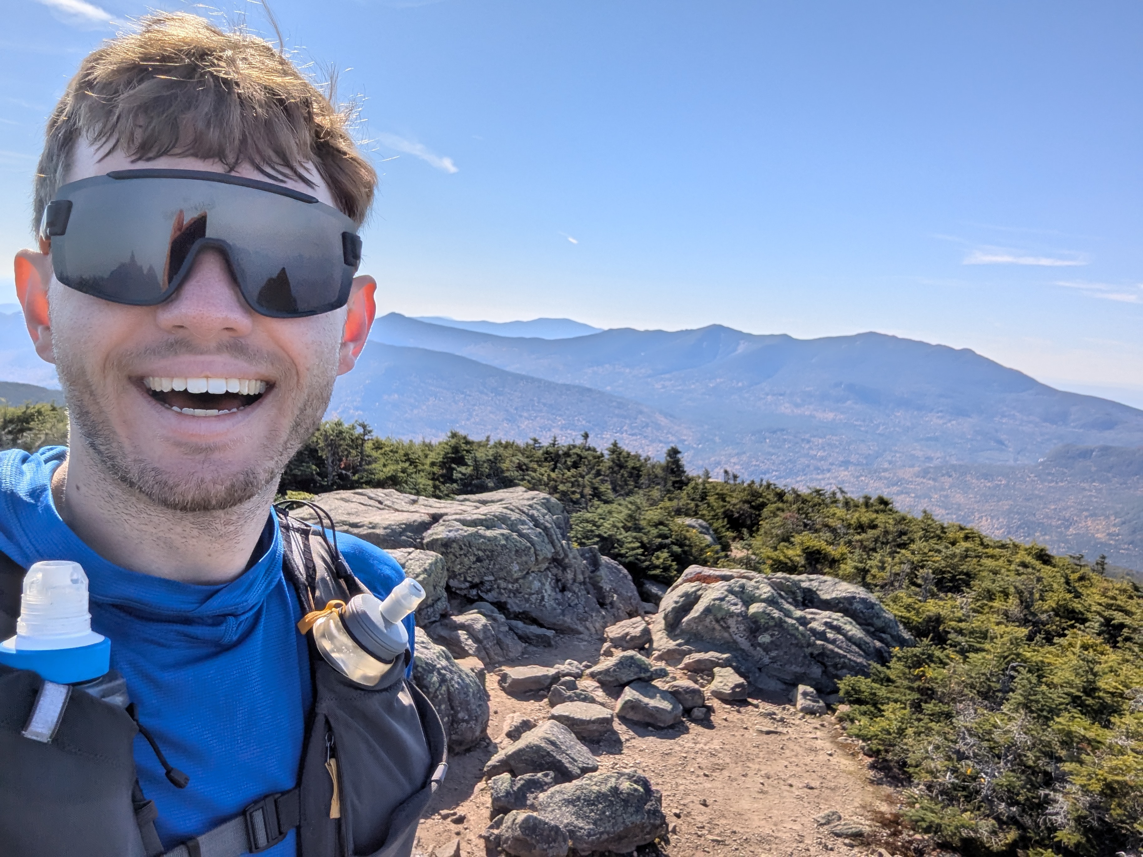
Grinning like the idiot I am
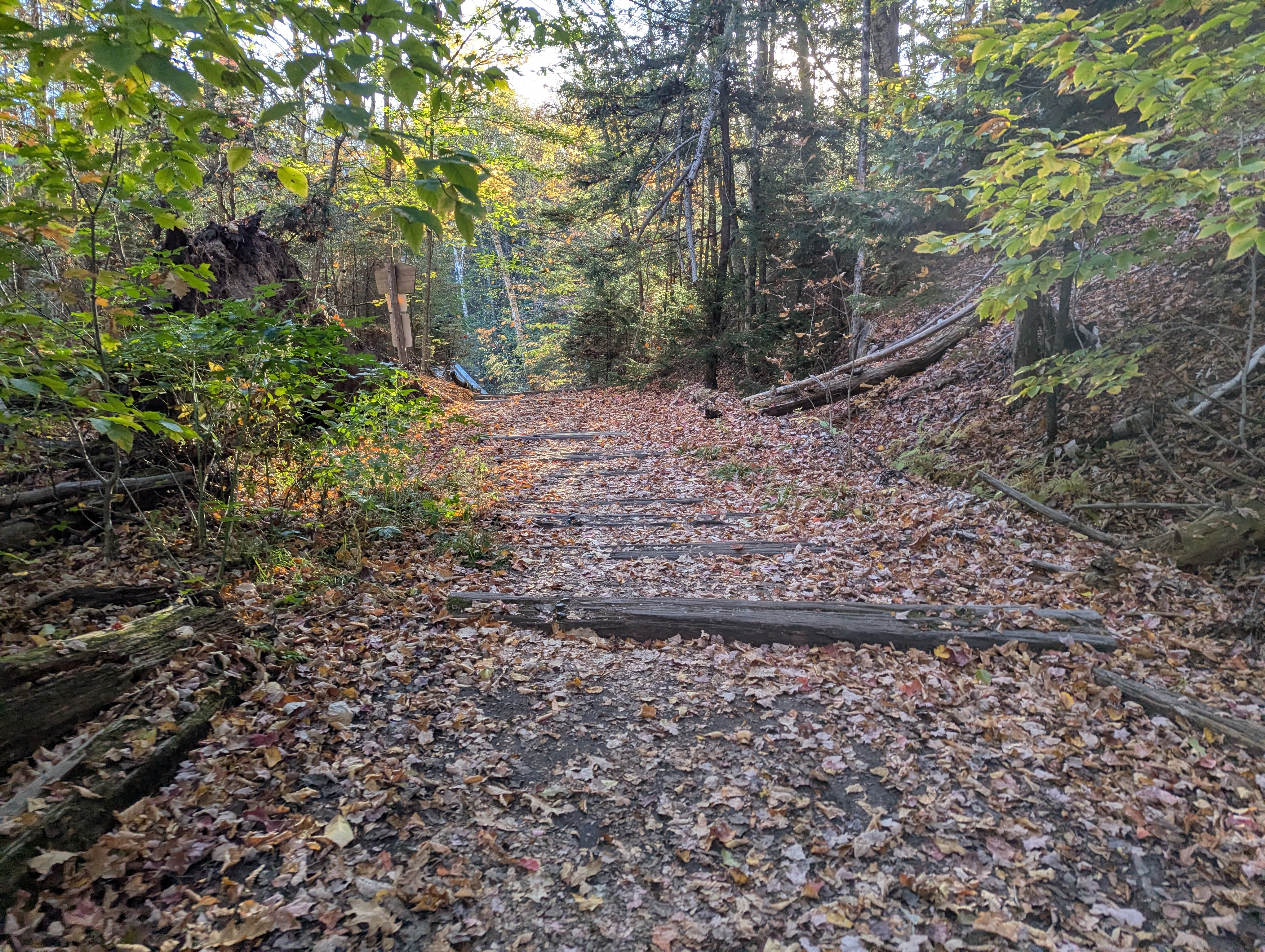
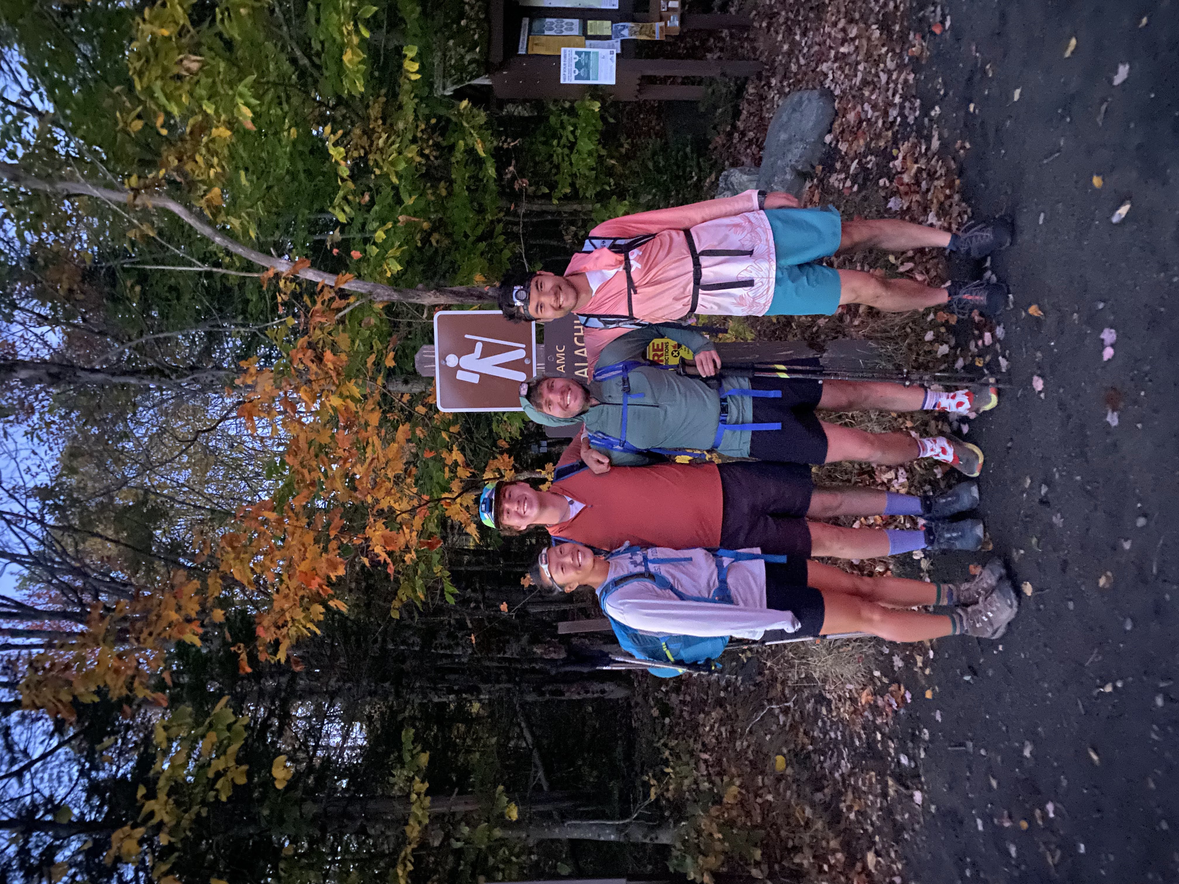
I arrived at the Lincoln Woods Trailhead for a nice 7:20 am start. Having backpacked the loop in three days a few years ago, I didn’t bother looking at a map and set off down the trail. I knew the first few miles were on a flat wide rail trail, so continued to cruise until I was startled awake by a sign that said “East Side Trail”. With the words “Lincoln Woods Trail” floating somewhere in the back of my memories, I checked the map… and turned around and ran back to the start. Let’s call it a warm-up.
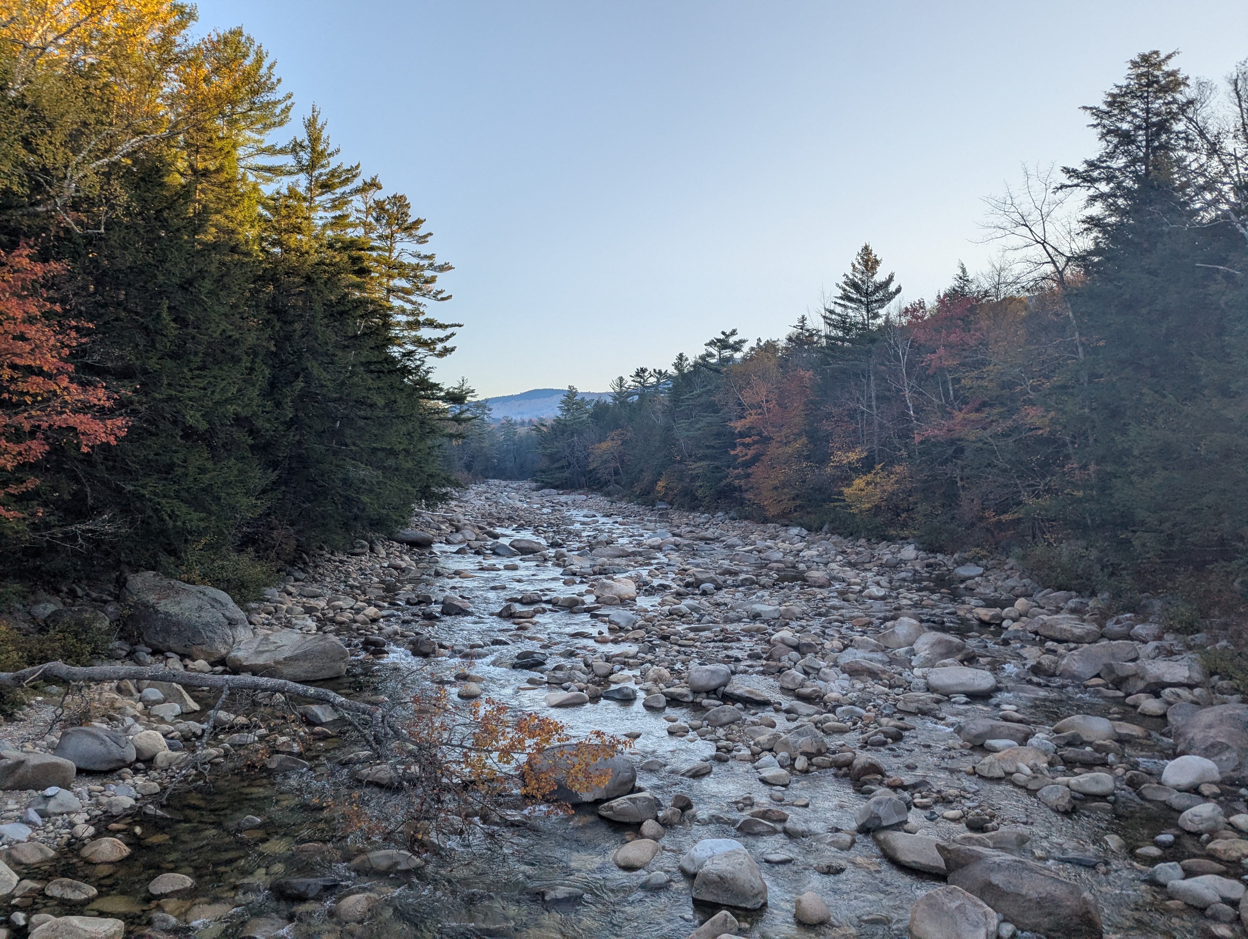
Okay for real this time
Scrutinizing the map, I set off from the parking lot once more, this time crossing the bridge, and being immediately rewarded for my route finding with a lovely view of the Pemigewasset River flanked by fall leaves
That's more like it
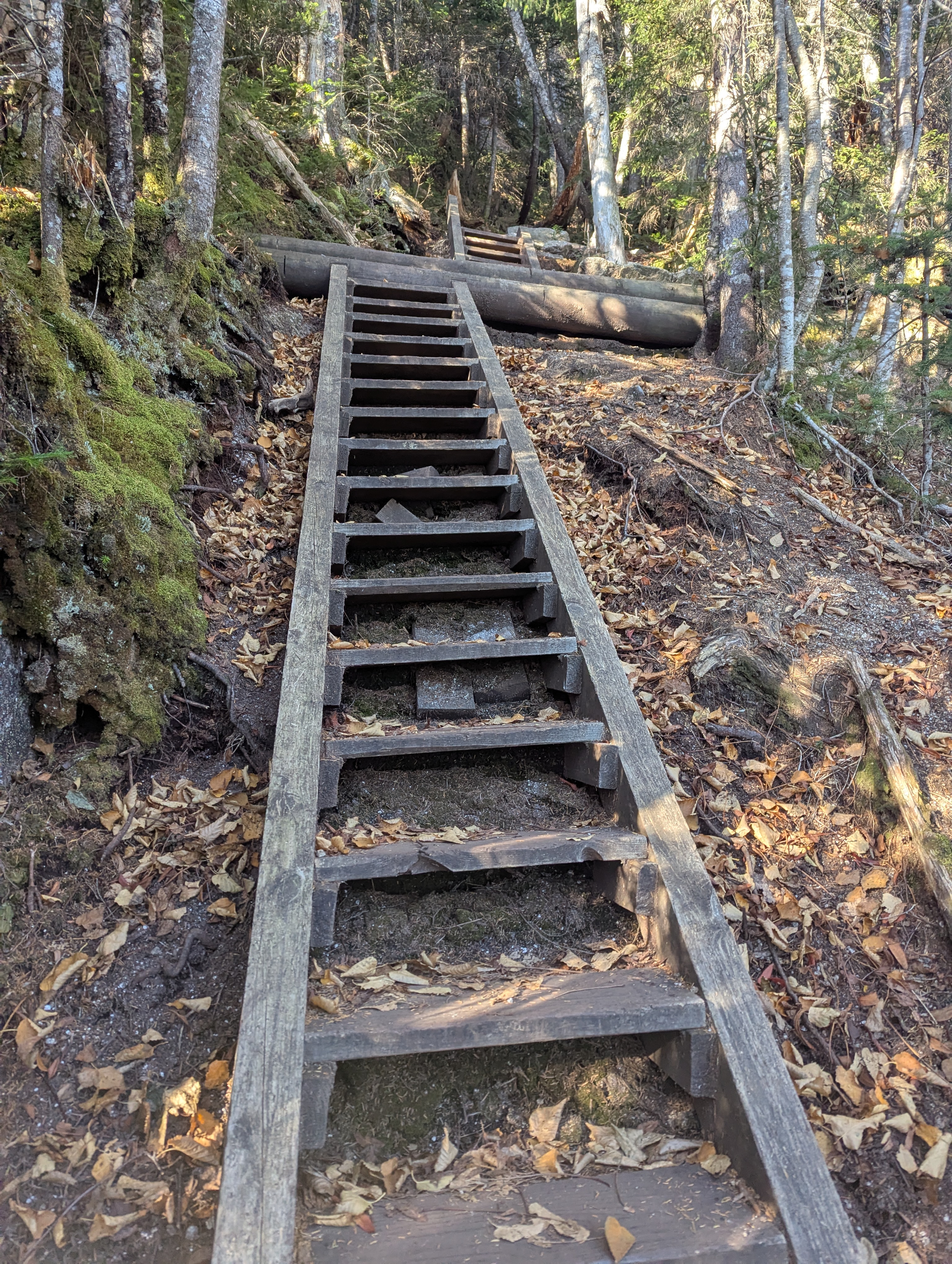
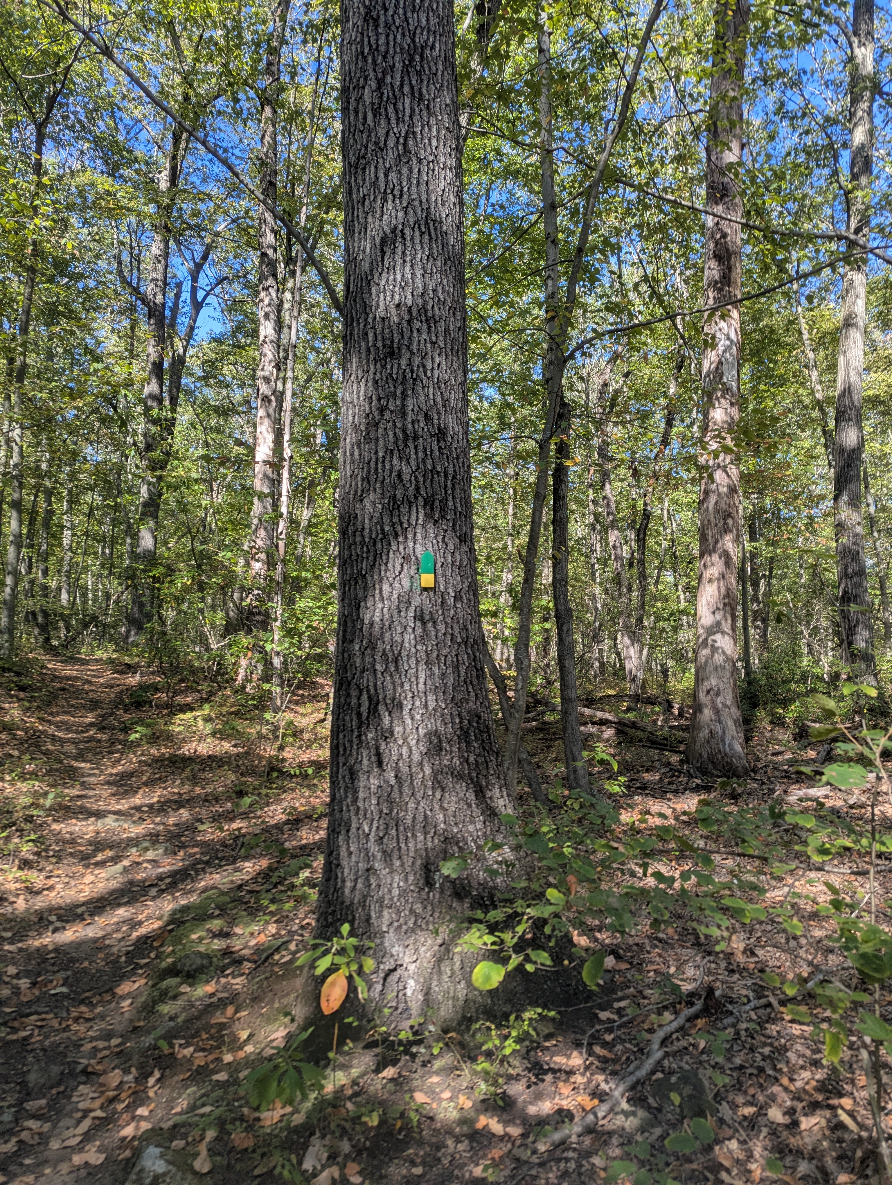
I cruised down the correct rail trail for about the first two miles, then made a left into the woods. The trail quickly began climbing, culminating in stairs and ladders over the steepest bits.
Because why make switchbacks when you can haul lumber up?
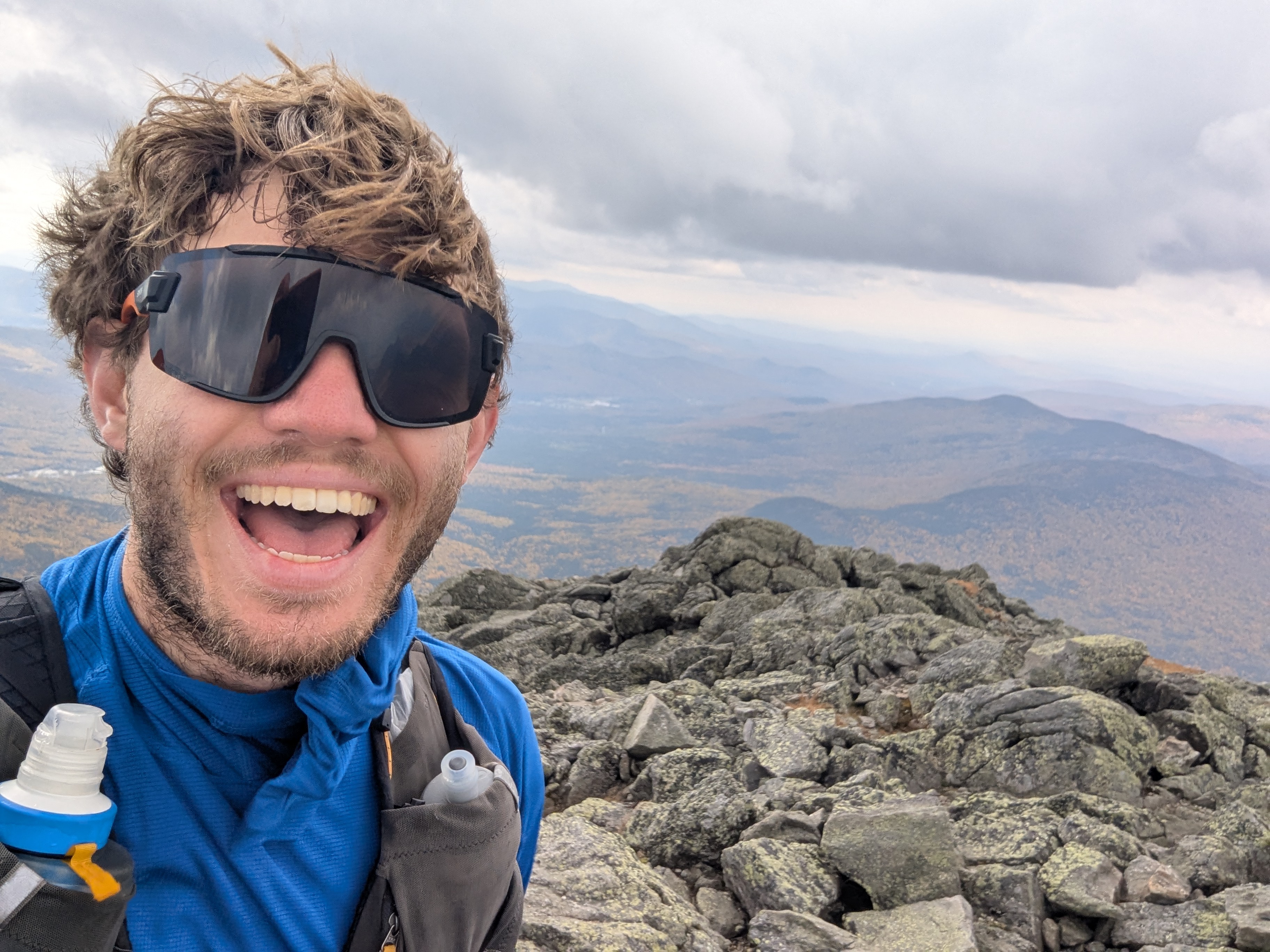
After about three miles of climbing, I arrived at the first of the day’s 8 (ish? depending on what you’re counting) summits - Mt. Flume.
The small ziplock holding my electrolyte pills sprung a leak as I proceeded down from the summit, leading to a brief scavenger hunt along the ridge and some reorganization to free up a zipper pocket on my vest, but I reached Mt. Liberty otherwise undisturbed, enjoying the occasional bit of ridgeline running as I emerged out of the trees.
Having brought only 1.5L of water, I decided to take the detour to Liberty Springs after summitting Liberty - the spring was flowing, and I chatted with another runner as I refilled (and thus forgot to take any pictures). After climbing back out of the notch, I started on arguably the most scenic part of the day - the ridge from Lincoln to Lafayette.
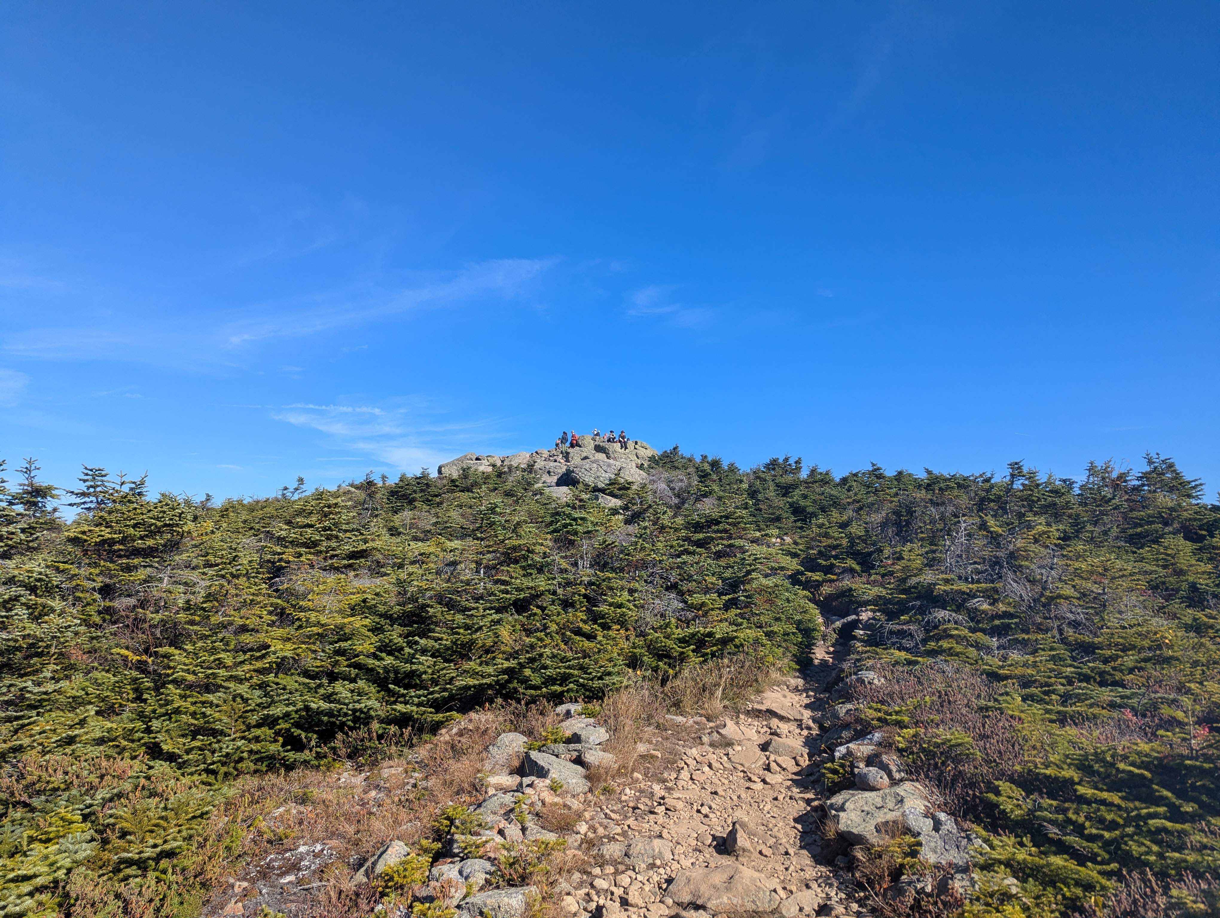
The first view of Little Haystack - surprisingly busy for a Monday morning
Although somewhat crowded, I enjoyed the beautiful views, clear weather, and rolling terrain of the ridge.
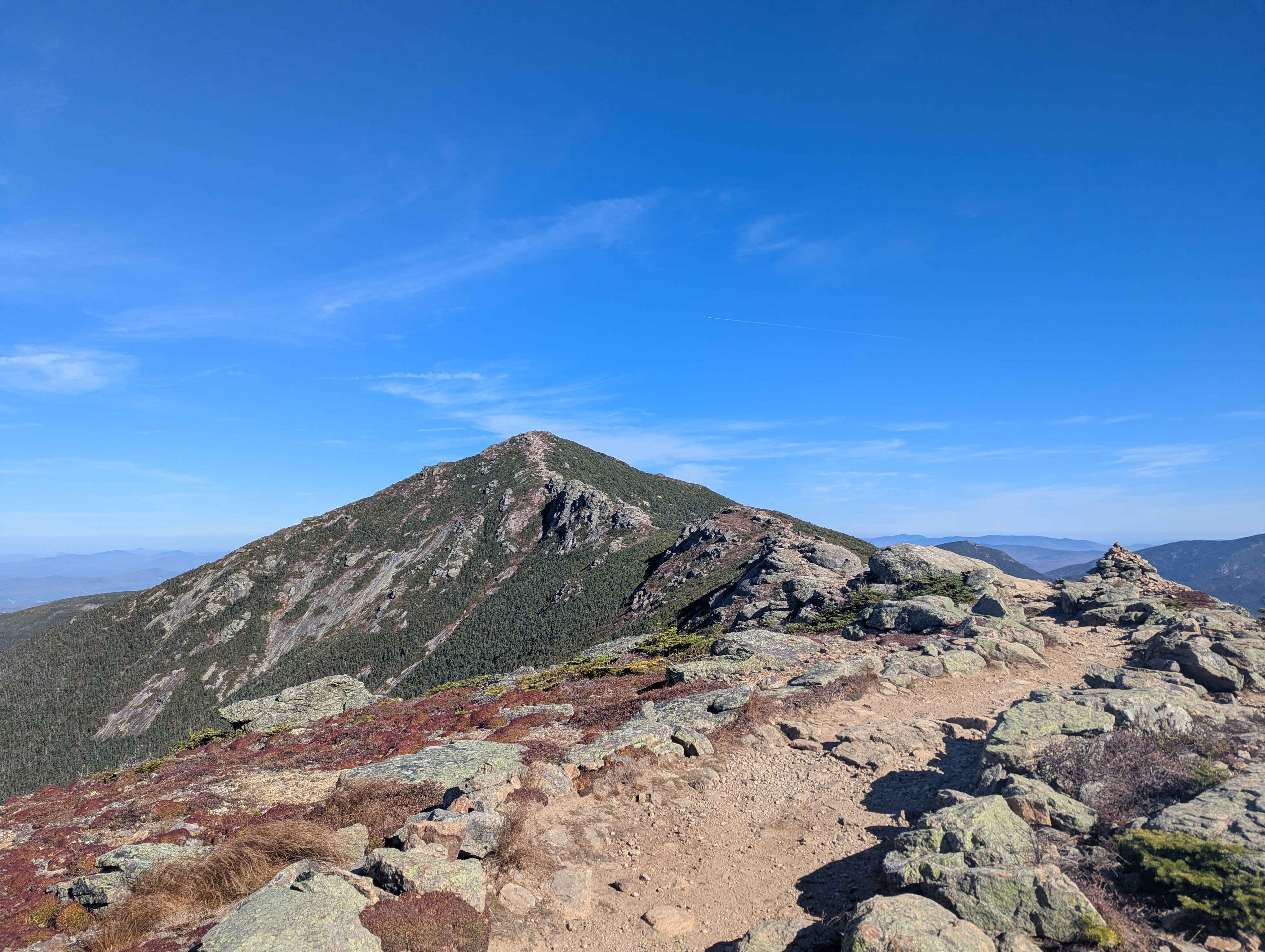
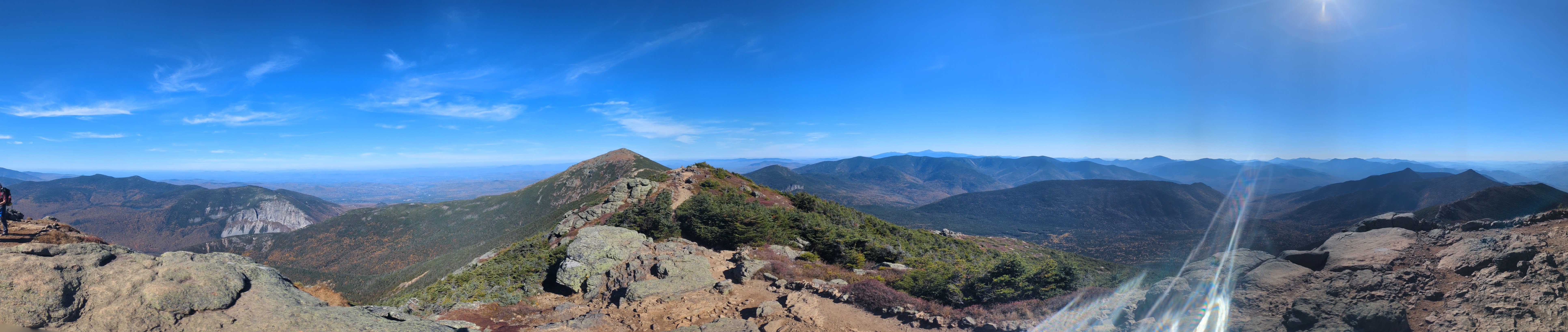
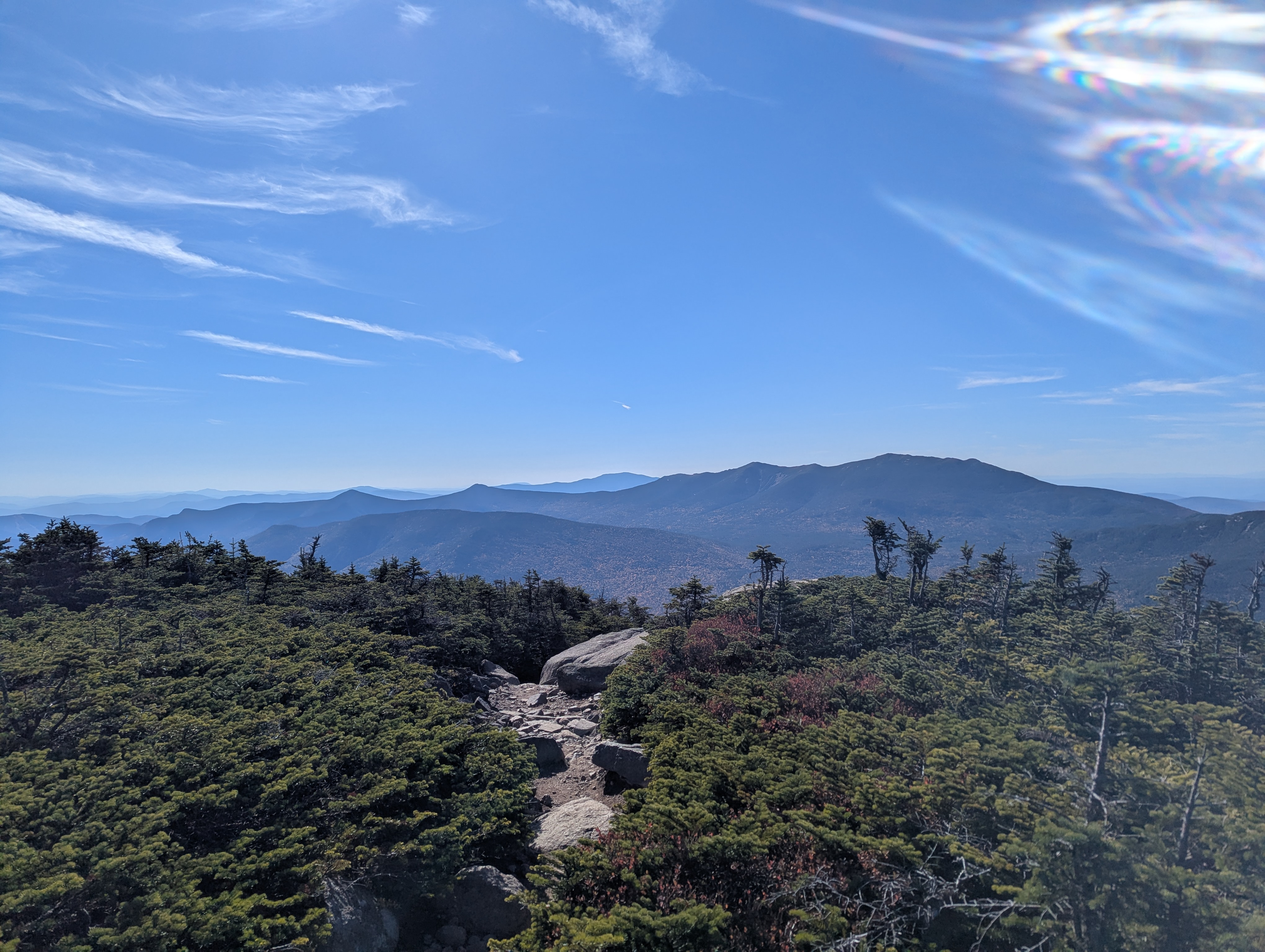
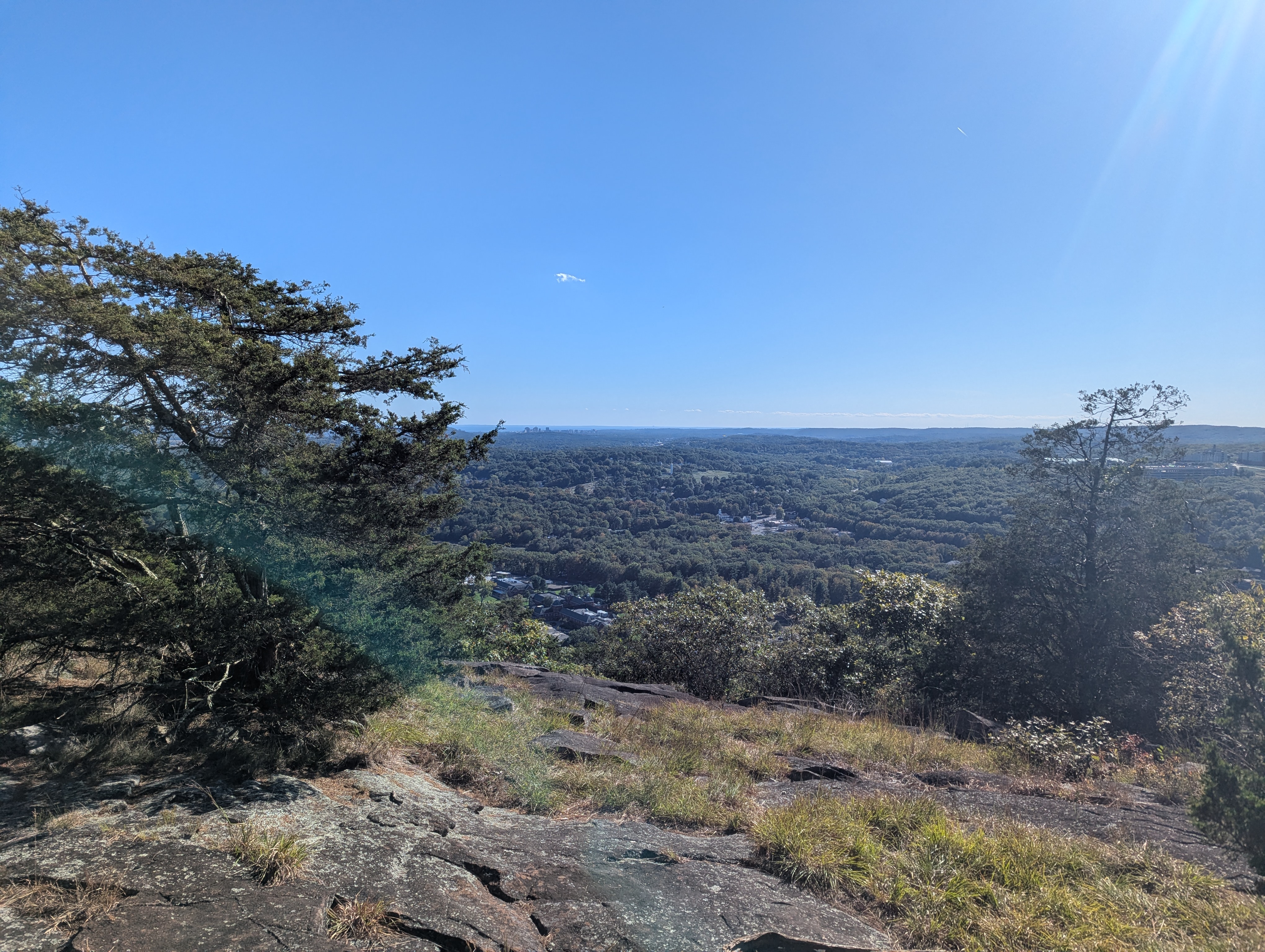
Mt. Lincoln from just after Little HaystackA panoramic view from Mt. Lincoln. Lafayette in the center. Owl's Head on the right in the foreground. The background summit ridge on the right is Garfield, and then the second half of the loop (Twins, Bonds) continuing right from thereLooking at the second half of the loop from Mt. Lafayette
The coolest thing about the Pemi Loop in my opinion is that you can see the entire route from pretty much every summit. I had a blast proceeding along, looking at the mountains I had just climbed and slowly watching the remaining distance whittle away.
After descending from Lafayette however, the trail becomes a bit of a slog through the woods, with no further views until Garfield.I trudged onwards, downwards, forwards, upwards, and appeared out of the trees once more. A very kind couple at the top of Mt. Garfield offered me a bite of sourdough and some apple slices, both locally sourced, which more than made up for the previous drudgery
The only picture I took on Garfield because I was too busy enjoying delicious snacks! On the right is the ridge over to Galehead and then the climb up to South Twin
As I decended off Garfield I saw two other runners on their way up, both of whom were doing the loop counterclockwise. I soon arrived at the second water source of the day, and filtered uphill of the sign as instructed - which made sense since the stream and the trail became one and the same soon after.
Spoiler alert: There is water on the right as well
From there it was another slog through the woods, a brief stop at Galehead hut, and then a steep climb up to South Twin.
A fairly accurate stand-in for probably about 30% of the whole loop. Imagine it slightly wider and flatter and you have another 20%.
Back out of the trees I enjoyed the second alpine segment of the day, happy to be done with the last major climb.
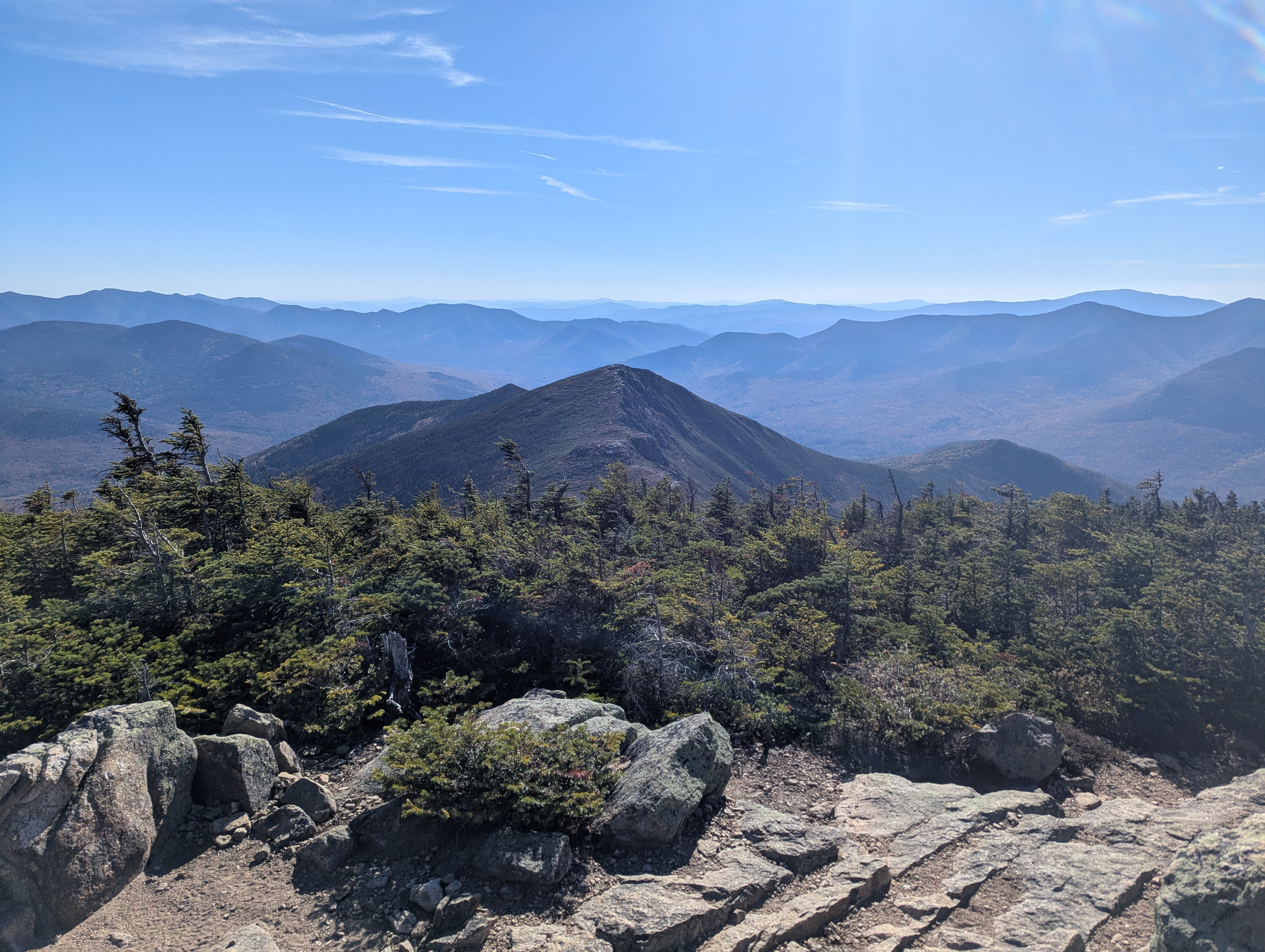
Back above treeline on South TwinBack out in the sun - to the right behind me is Lafayette ridge from earlier in the dayLooking at the upcoming Bondcliff ridgeline from Mt. BondThe last summit of the day, looking back across Owl's Head at Lafayette
After that it was all downhill. I put on my headphones and started cruising, enjoying the faster pace of the descent. I hit a larger stream which I crossed several more times, filtering the cold water and throwing some in my face as the fatigue started to set in. My legs started to get sore, but I was almost done! Or so I thought…
Back on flat ground, but not out of the woods
I hit the rail trail excited to be on my way out - and then checked my watch and saw I was only at mile 26 of what I expected to be a 30-mile day. The realization set in that I had probably spent too much energy on the downhill, and I hit my mental low point of the day. After fighting for another mile, I told myself it was okay to walk even on the flat non-technical trail. I filled back up on nutrition, drank some water, switched up the music, and began to feel better. Checking the map and my watch, I realized my walking pace was not all that slow; and set myself the relatively arbitrary goal of finishing in under 10 hours. As I finished mile 28 I switched back to running, and quickly found that carrying my poles instead of leaning on them also helped pick up the pace.
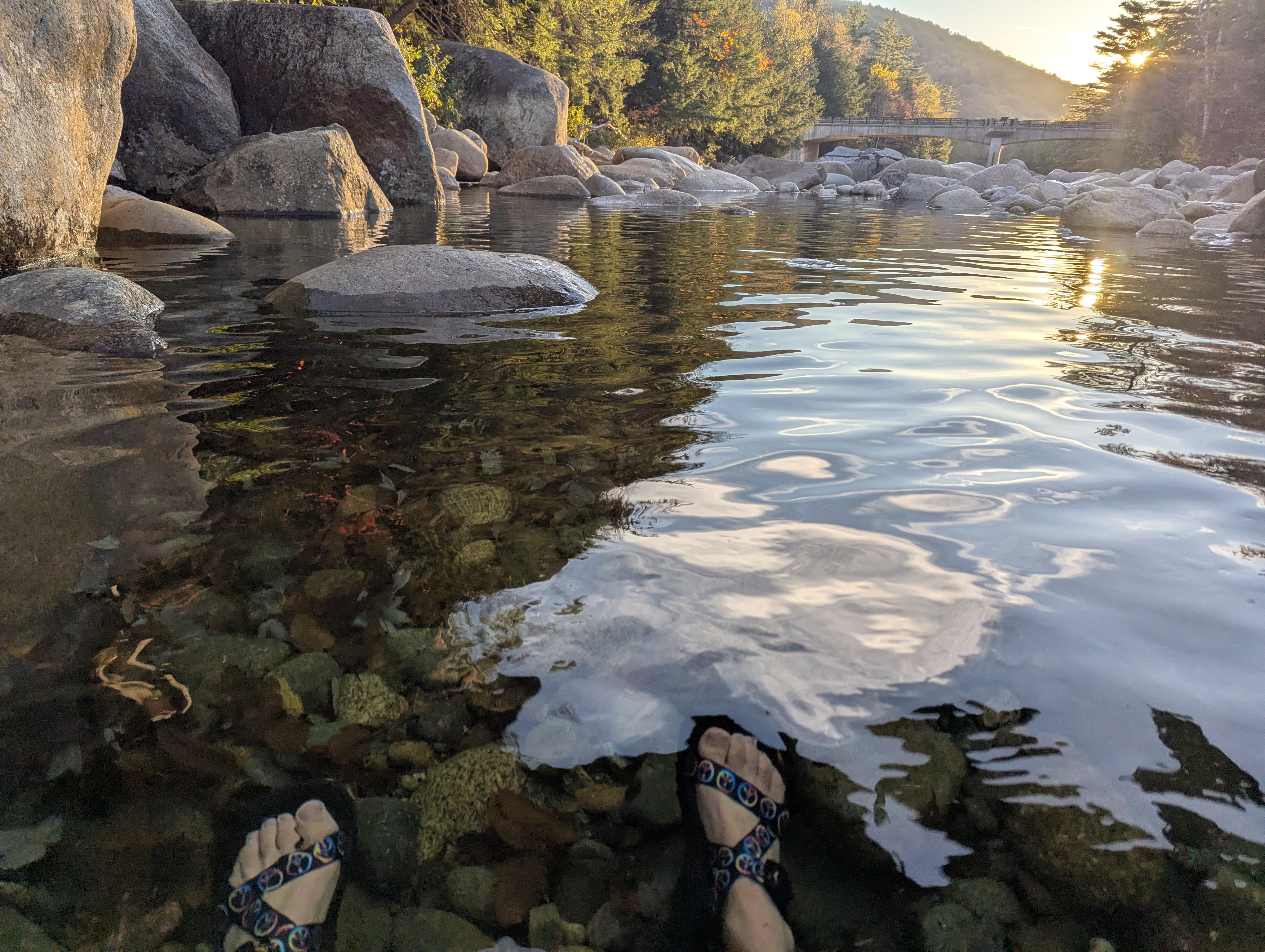
I pulled out some ten-minute miles, motivated by another runner in the distance, and managed to catch up to him - it was one of the two I had crossed with while descending Garfield. I saw the footbridge, made some hopefully polite noises at the folks in my way as I crossed it, and was back at the car! After a collapsing onto the nearest bench for a few minutes I chatted with the other runner - another Connecticut native who said he tried to run the loop every year. Given that expertise I quickly joined him on his suggestion to go soak in the river for a while. A lovely ice bath for my sore legs, and a great view to finish off the day.
Analysis/Nerd Stuff
I carried capacity for 1.5L of water which was the correct amount for me given the stop at Liberty Springs. That stop did add about half a mile and 350ft of vert, so I wonder if it would have been better to carry more water and skip it. However; I did drink another 1.5L on the way to Garfield, so would have had to carry 3L up the first climb which is a lot. I ended up somewhere around 6L on the day (two full refills at Liberty Springs and Garfield, .5L while at Garfield, and a bit more in the various streams after Bondcliff).
Still one SaltStick pill every 45 mins, don’t change what’s not broken. I do need a sturdier ziploc for them though.
I dialed in/simplified my nutrition planning: Half a Nature’s Bakery fig bar, one serving of gel, and one serving of nerds gummy clusters are all ~20g carbs. I do that every 15 minutes, alternating between gels and not gels, with bars in the first half and gummies in the second. This worked well and was easy to measure. My homemade energy gel worked well once again, although I hadn’t solved the aeration problem and ended up unable to fit the last few servings in the containers I had.
The impromptu sourdough and apple slices were a lovely surprise - I wasn’t sure how well I’d be able to stomach them, and so I didn’t have a lot, but I may bring small amounts of palate cleansers in the future.
I didn’t notice a significant difference upping to the ~70-80g carbs/hour from the ~40-60 on the Presidential Traverse, but it’s also difficult for me to compare those efforts. It certainly didn’t hurt.
I’m glad I brought poles for the uphill, and for saving myself from falls on the more technical downhills. I did snap both pole tips, fortunately low enough down to extend the poles and keep going. While other factors also played a role, I think using the poles at the beginning of the final flat segment slowed me down significantly - long-term I’d like to try a pole quiver and z-fold poles so I can stow them more often.
I need new shoes. Hoka doesn’t make the Speedgoat 5 anymore, and the 6 has bad reviews. I’m also not impressed with the durability on the 5s, the tread wears down into dangerously slippery while there’s still plenty of cushioning. Time to try some other models/brands.
This run was the longest distance and second most vert I’ve done in my life. While I certainly felt quite fatigued for the last few miles, I wouldn’t say I fully bonked - I’m quite pleased with my training/nutrition, and grateful to be able to do this safely and pain/injury-free.
The runner I met while filling at Liberty Springs said he wasn’t a fan of the loop due to the trees-to-view ratio, and ultimately I came to the same conclusion. The two alpine sections are beautiful, and it’s extremely cool to be able to see the entire loop from almost every viewpoint on it. But there’s a whole lot of slogging through rolling terrain in the woods, although I’m not sure if there’s anything in the Northeast at this distance that doesn’t have that. I’m glad I went for it - it’s still a classic, it’s nice to not have to worry about a shuttle, it’s a good distance, the fall foliage makes the wooded sections more interesting, and the beautiful parts certainly are beautiful. I’m just not sure I’d want to do it every year.
]]>Linus KoepferMy Presidential Picnic2025-09-28T00:00:00+00:002025-09-28T00:00:00+00:00https://linusoutside.com/2025/09/28/presi-picnicA Second Self-Shuttled Speedier Super Summit Selfie Spectacular
My running goals for the 2025 season were Cactus-to-Clouds (C2C2C) and the Grand Canyon’s Rim-to-Rim (R2R2R). Then my van broke down and the North Rim burned to the ground and I was on the East Coast; so I shifted a little - my new goals were running a Presidential Traverse and a Pemigewasset Loop.
Finding myself at the Crawford Notch Trailhead on a Saturday night with a reasonable weather window on Sunday, I decided it was time to check that first one off the list - even if I had just hiked it with friends the previous day. However, now that my friends were on their way back to Boston, I would need a way to shuttle myself between trailheads. Fortunately I had thought ahead and brought my bike. Apparently this too is a thing. After some headlamp-lit repacking in the Gorham Subway parking lot, I slept in the back of my parents’ old minivan on a forest road, excited for the adventure to come.
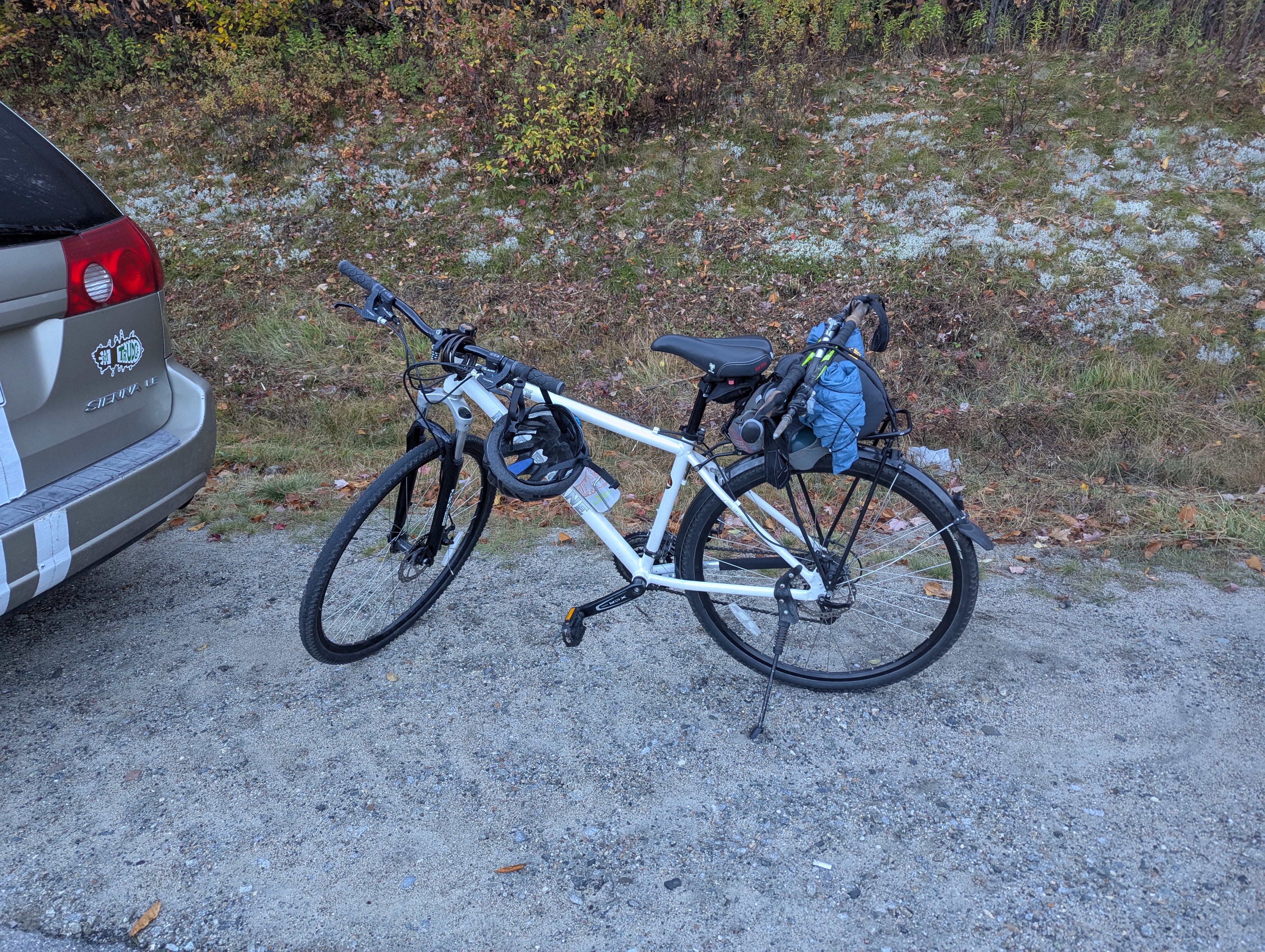
The Bike
I woke up around 6:30 and, after a fruitless search for an open bathroom and a fruitful cat-hole, bungeed my running vest onto my bike and set off.
My noble steed. I rode this bike to middle and high school. If I were a modicum smarter I would have strapped my poles along the top frame tube rather than across the back.
While the current FKT route takes the road from Crawford Notch to Valley Way, I decided on the - in my opinion - more aesthetic route, taking Mt. Clinton Road to Jefferson Notch Road; and then the Presidential Rail Trail. I also decided, unlike the FKT, to bike first. I had discussed this with Calvin the previous day, and we decided the advantages were:
I am more confident in my time/energy/pacing on the run, while it was harder to figure out how much to save for the bike
I didn’t have lights for the bike, and did not want to be stuck biking in the dark if my run went long
On the off-chance someone stole my bike while it was parked at the trailhead, it would be after I had already used it rather than leaving me stranded.
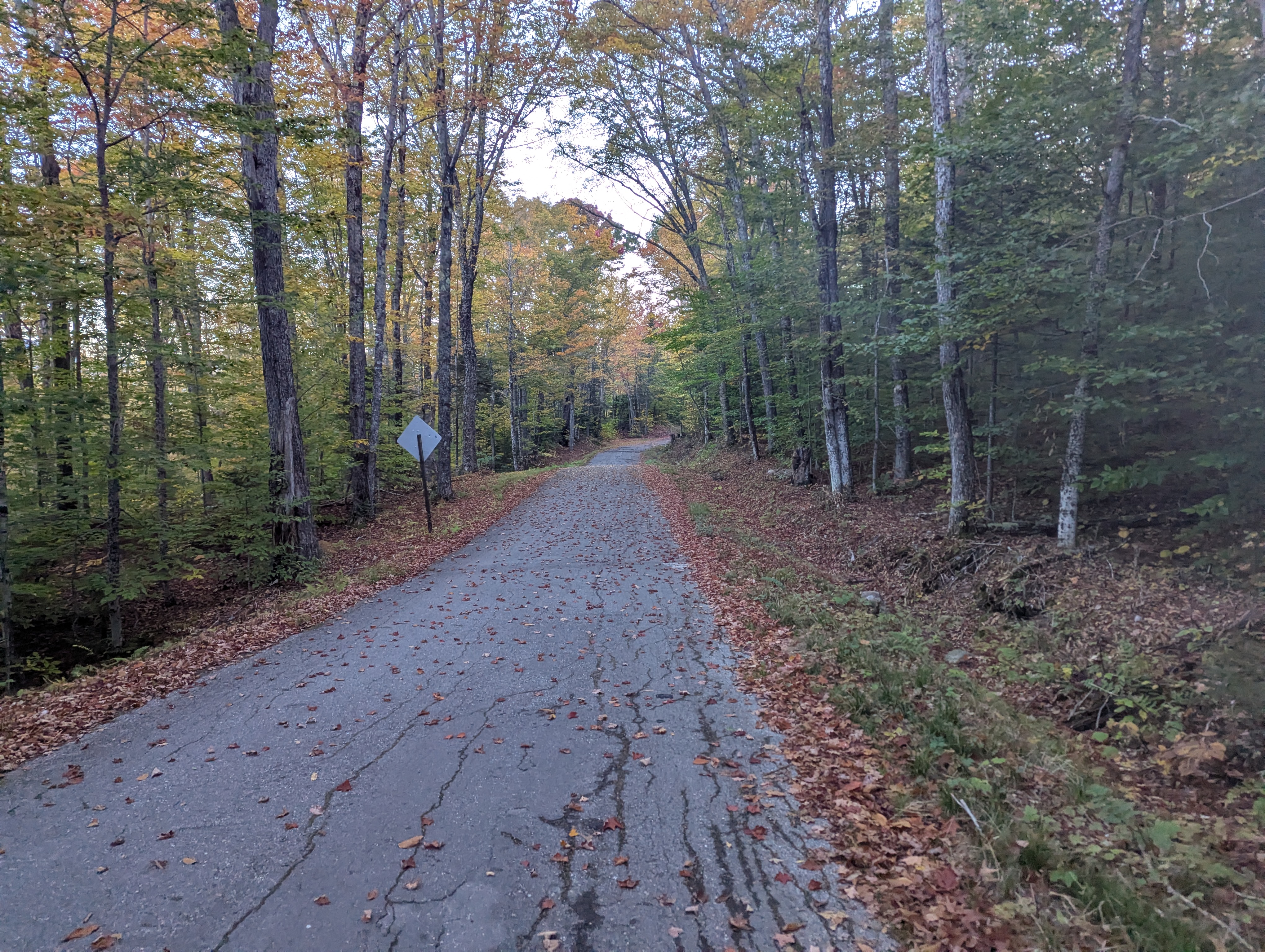
I headed up Mt. Clinton Road, which was relatively well-paved throughout.
Mt. Clinton Road - paved, beautiful leaves, and often along a nice stream
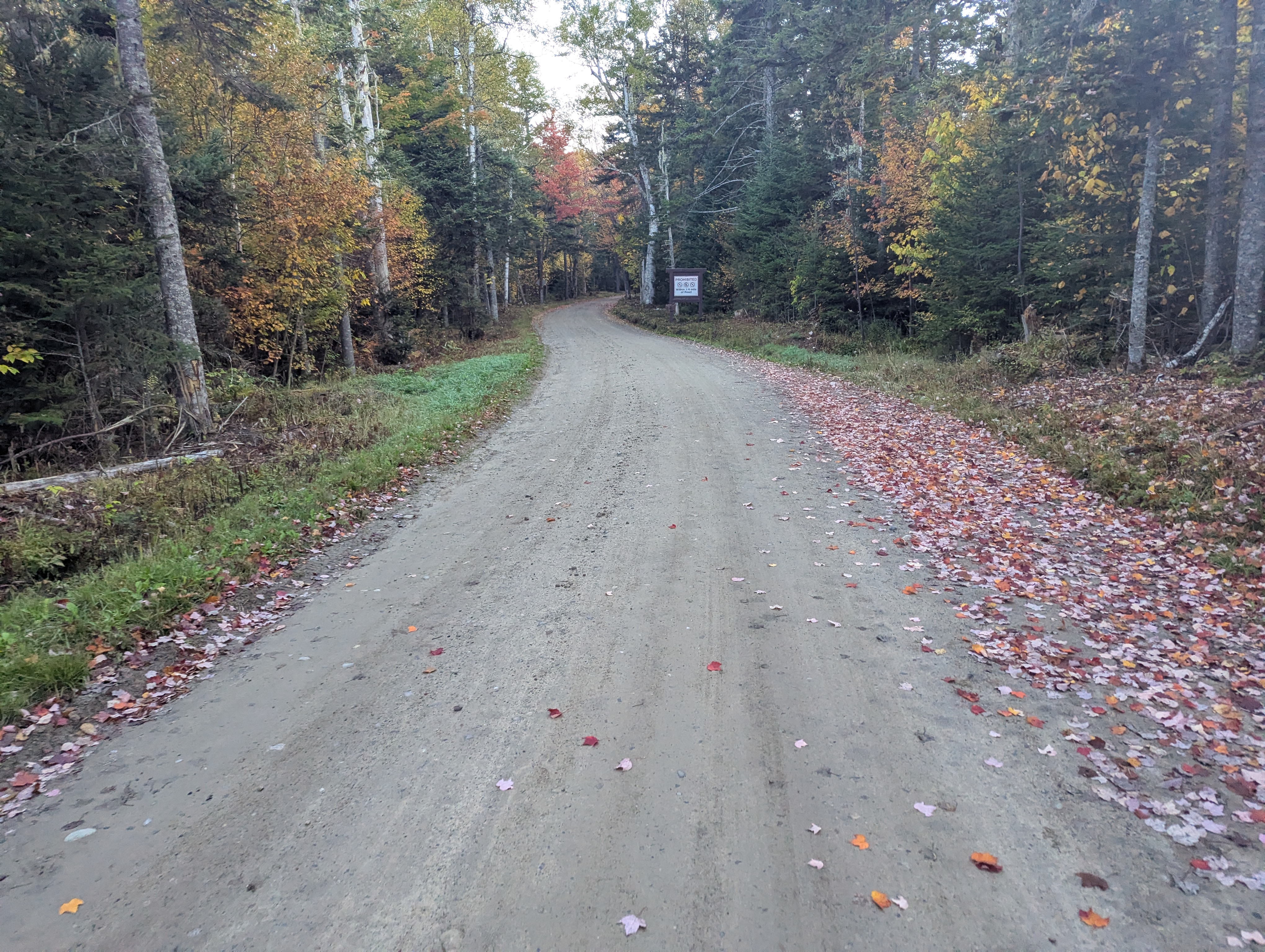
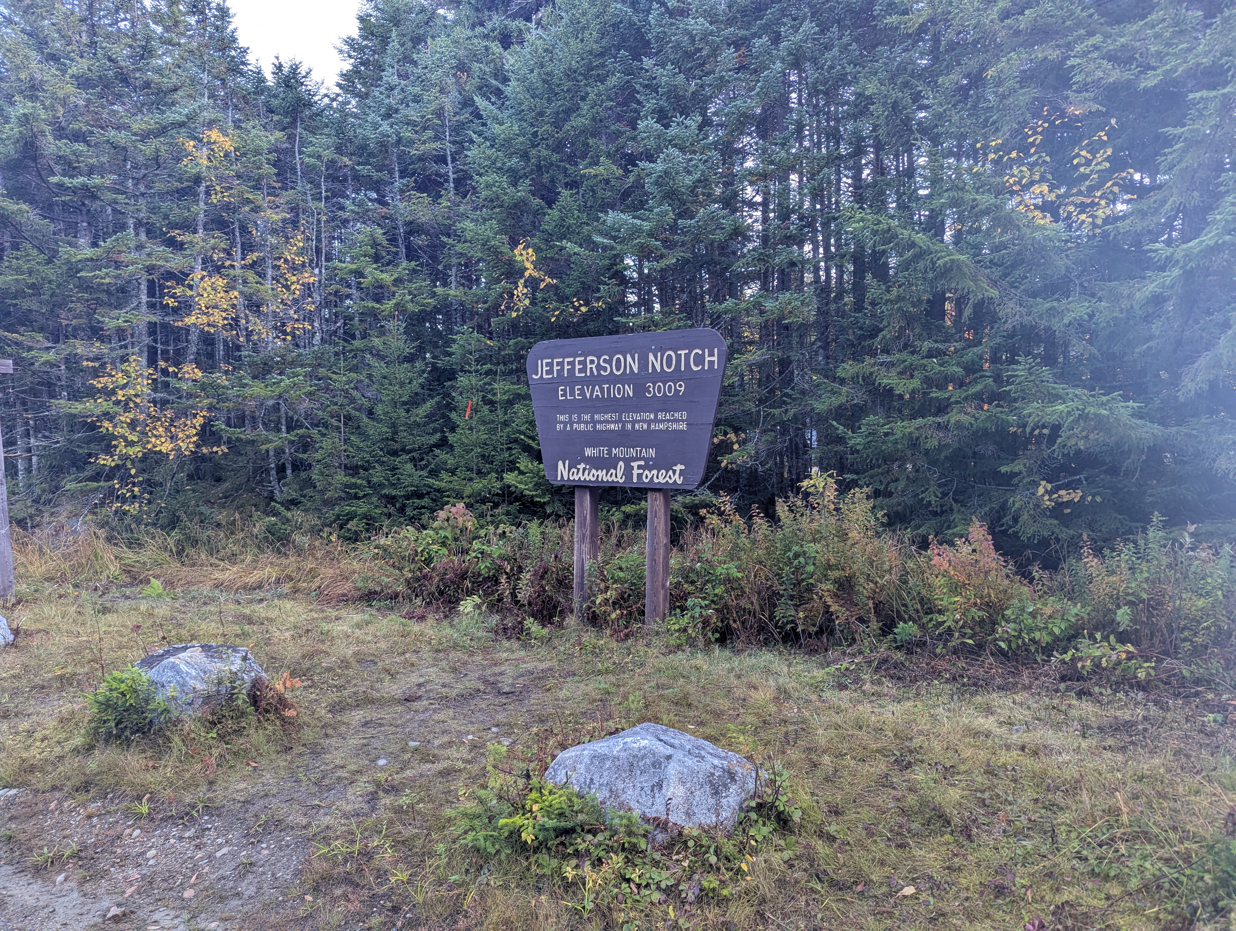
After crossing the road that leads to the Washington Cog Railway base station, I proceeded onto Mt. Jefferson Road, which quickly became a dirt road. Given my wide tires I continued on without much trouble and slowly but steadily climbed up to Jefferson Notch.
Jefferson Notch Road and its namesake
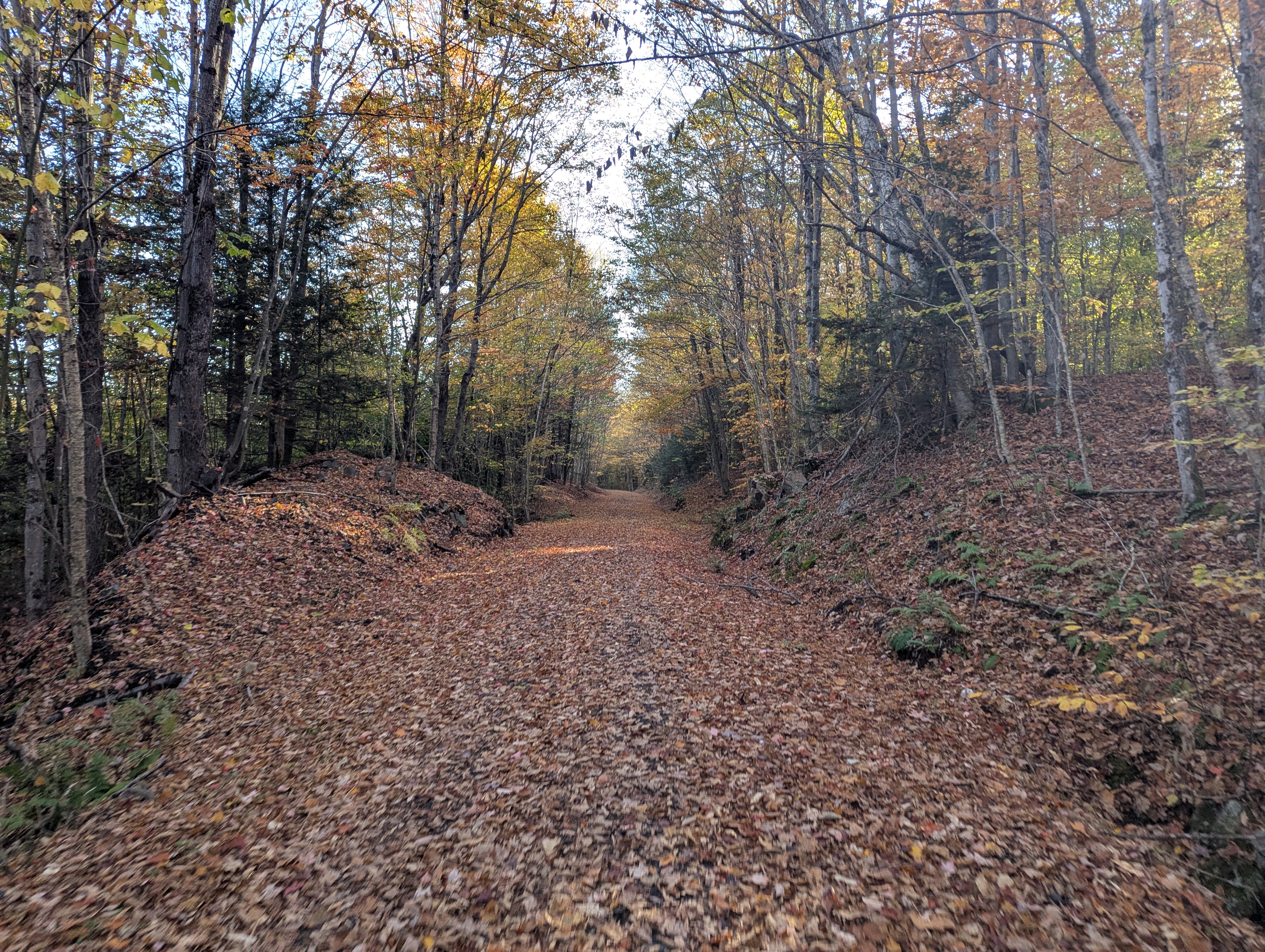
The downhill after the notch was fairly steep, and I had to stop several times and readjust my gear to ensure it wouldn’t fall off the back of the bike. Once the road flattened again I continued on to the Rail Trail. This was a lovely long, flat, straight gravel trail, with generous views of the range I was about to traverse off to my right.
The Presidential Rail Trail - I guess technically my first proper gravel experience, 10/10 would bike again
I arrived at the trailhead, locked my bike to a tree, put on my running vest, and after a brief chat with the Forest Service Volunteer headed off into the woods up Valley Way.
Obviously there is a huge energy difference doing this fresh rather than after running a @#$%^& 4:08 Presi, but given that I as a relative amateur with minimal bike-specific training and a heavy bike did this just 2 minutes slower than the FKT bike split I think my route might be the way to go…
The Run
I had a big case of the dropsies on this whole effort. About 2 miles up Valley Way I realized I had left a pocket unzipped and lost my wind jacket. I knew I wouldn’t have the energy to go back in and look for it once out of the woods, so I decided to head back. The kind Forest Service volunteer had found it about 15 minutes up the trail and taken it back to the trailhead, and while they apologized for adding even more distance, I was very glad that someone had found it and I was able to get it back. After that I proceeded up Valley Way once more - realizing a few miles in that I had also managed to drop a soft flask, likely during the bike ride. This one I was unable to find, even though I went and drove Mt Clinton and Jefferson Notch Road at the end of the day to look for it. Such is life. After that things proceeded uneventfully. I won’t bore you with another full description of the hike (go read Saturday’s trip report for that), so enjoy the Summit Selfie Series:
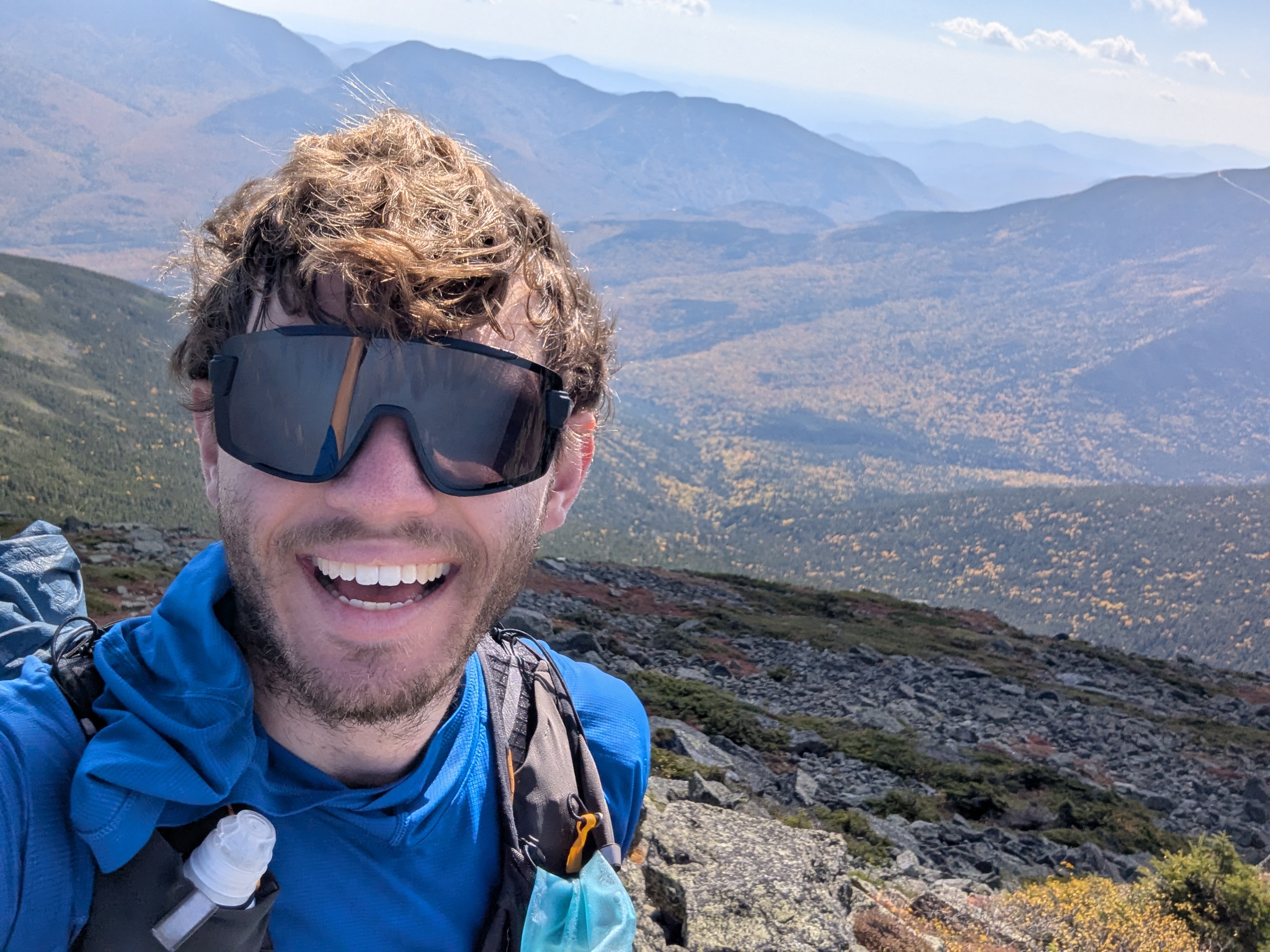
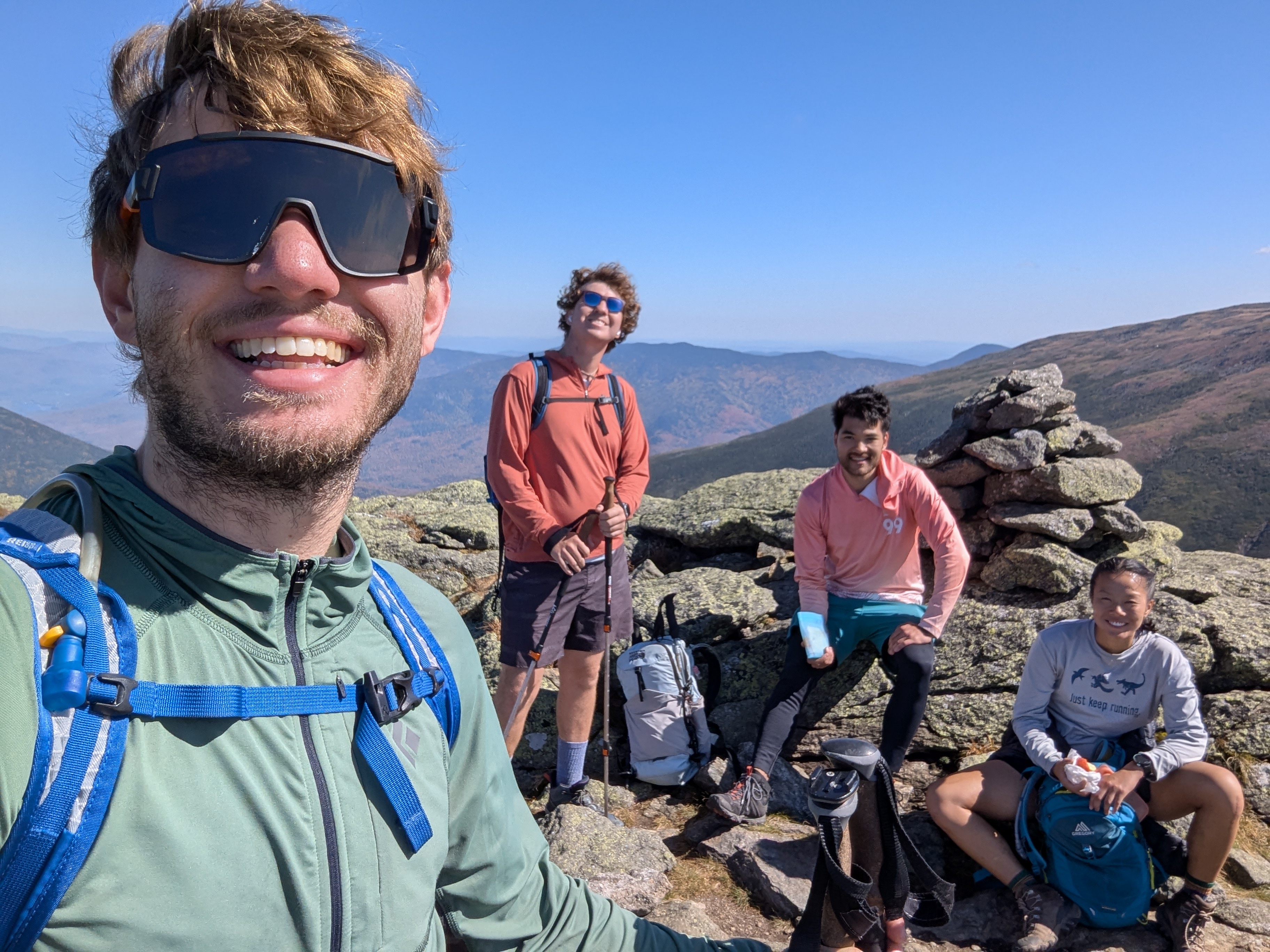
Made it to MadisonArrived at AdamsJoyful on JeffersonCrusing past ClayWindy on WashingtonMellow on MonroeLoungin' on Little (Monroe)Enjoying EisenhowerPanting on Pierce
A random collection of thoughts and moments:
I carried 1.5L of water (although I meant to take 2) and refilled at Madison Hut and the Mt. Washington Visitor Center. I could have filtered at Lake of the Clouds or descending after Pierce but didn’t need to.
I consumed ~45g carbs/hr spread between Nature’s Bakery Fig Bars, homemade energy gels, and nerds gummy clusters.
A note on homemade gels - making them in a blender incorporates a lot of air, making it hard to actually fill the container efficiently and thus resulting in lower volume than I had hoped. This air also expands when you ascend, which can lead to aggressive spillage when you first open the flask.
I took a saltStick pill every 45 minutes which I think worked fine
While the windiest moment of the weekend was Mt. Madison on Saturday, Sunday was more consistently windy - it never really stopped. It was also far more cloudy, and my Washington summit was entirely socked in (although it was clear an hour before and after I summitted, of course). However I don’t think the weather affected my performance or enjoyment
I took way too much gear that I didn’t use - although I’m sure I would have been glad for it had I gotten hurt and had to walk out.
My wind shirt doesn’t fit over my running vest so there’s no reason to carry it in an external pocket as I have to take the vest off anyways. I ended up putting it on for about 15 minutes descending Washington and was fine in my Sun Hoodie the rest of the time
My cardio was not the limiting factor on this run - my hear rate stayed surprisingly low. I was limited by my leg muscles feeling heavy, and by the technicality of the terrain. Even if I were to run this in one-mile increments I’m not sure I’d have been able to go much faster without hurting myself.
I SAW A MOOSE FOR THE FIRST TIME IN MY LIFE! IT WALKED RIGHT ACROSS THE TRAIL COMING DOWN FROM PIERCE! I did not manage to take a photo.
I maintain that the Presi is the most scenic hike I’ve done in the Northeast. I’m proud of myself for checking this goal off the list, and for being able to do something like this car-to-car with a bike shuttle without having to do any part of it in the dark. The goal isn’t to be fastest, it’s to be fast enough to be able to fully experience the trip, and I accomplished just that.
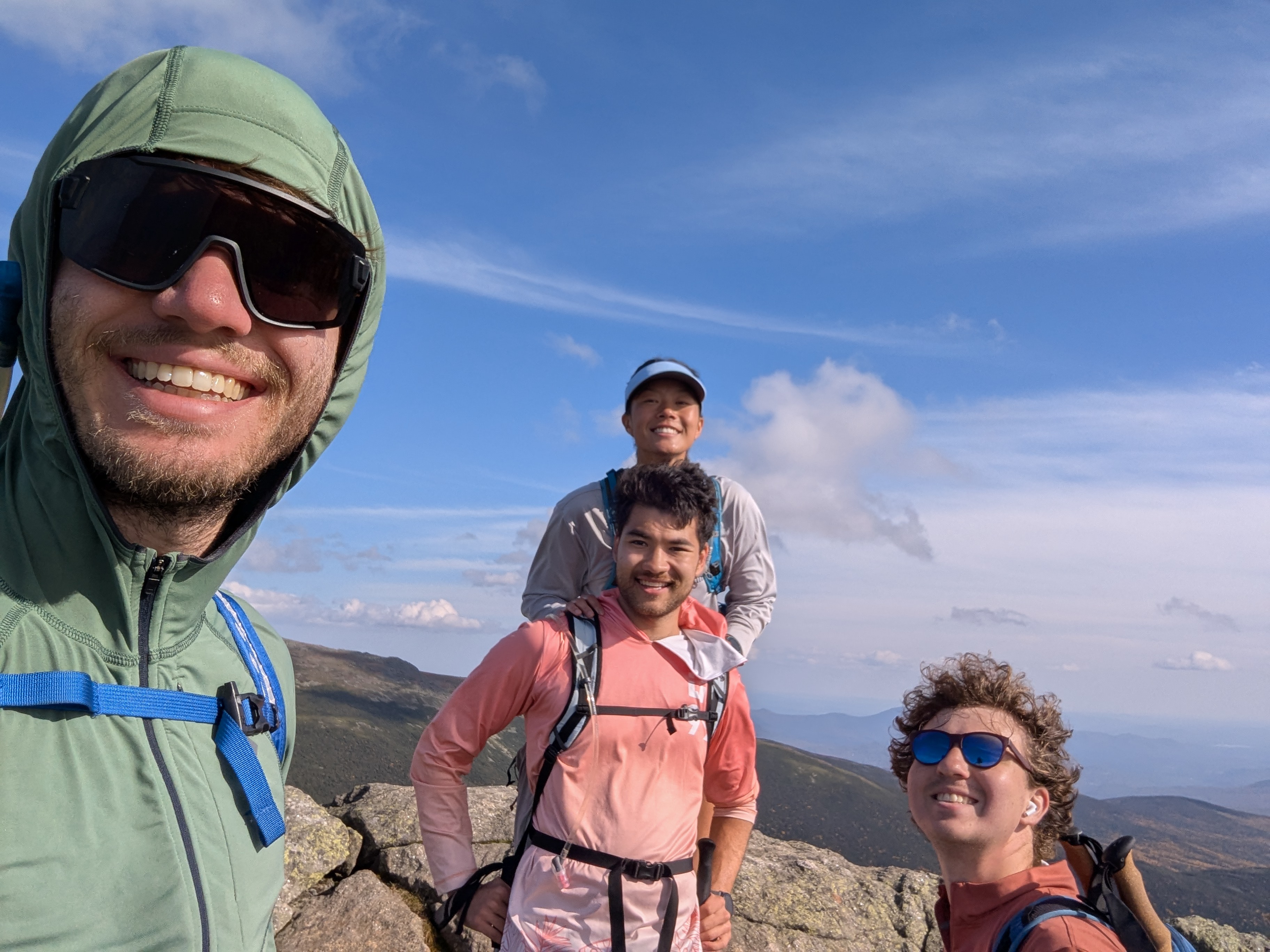
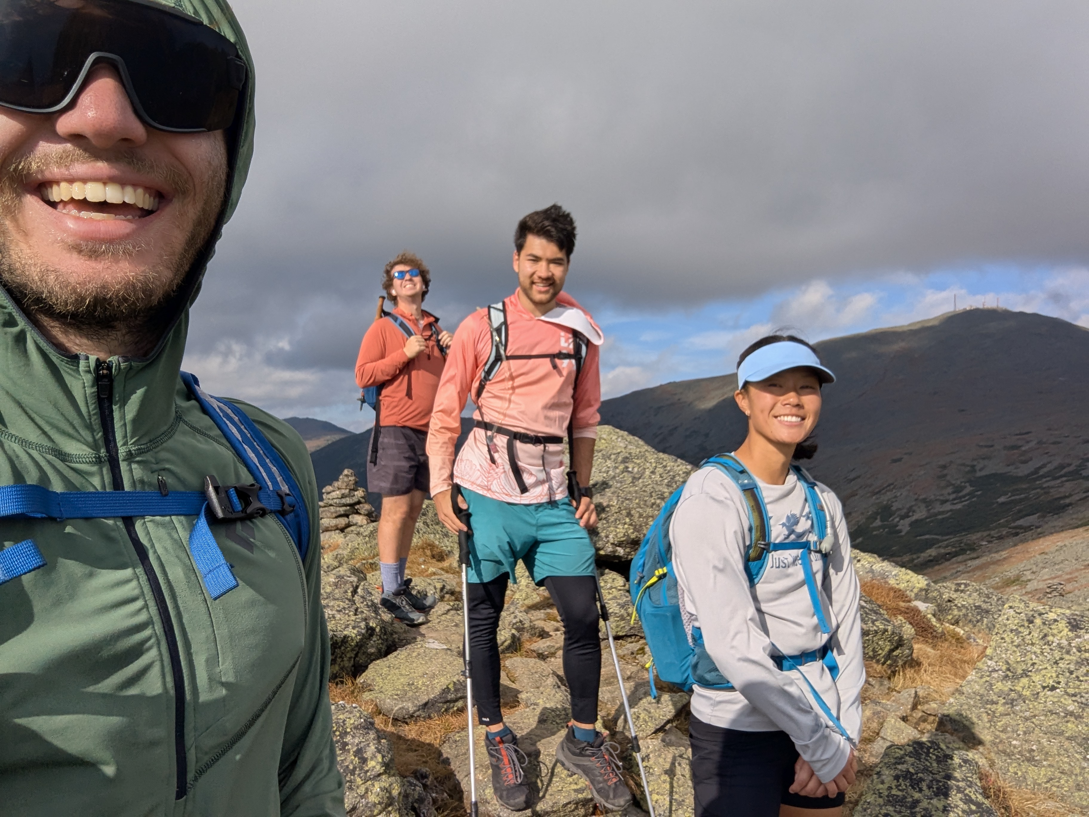
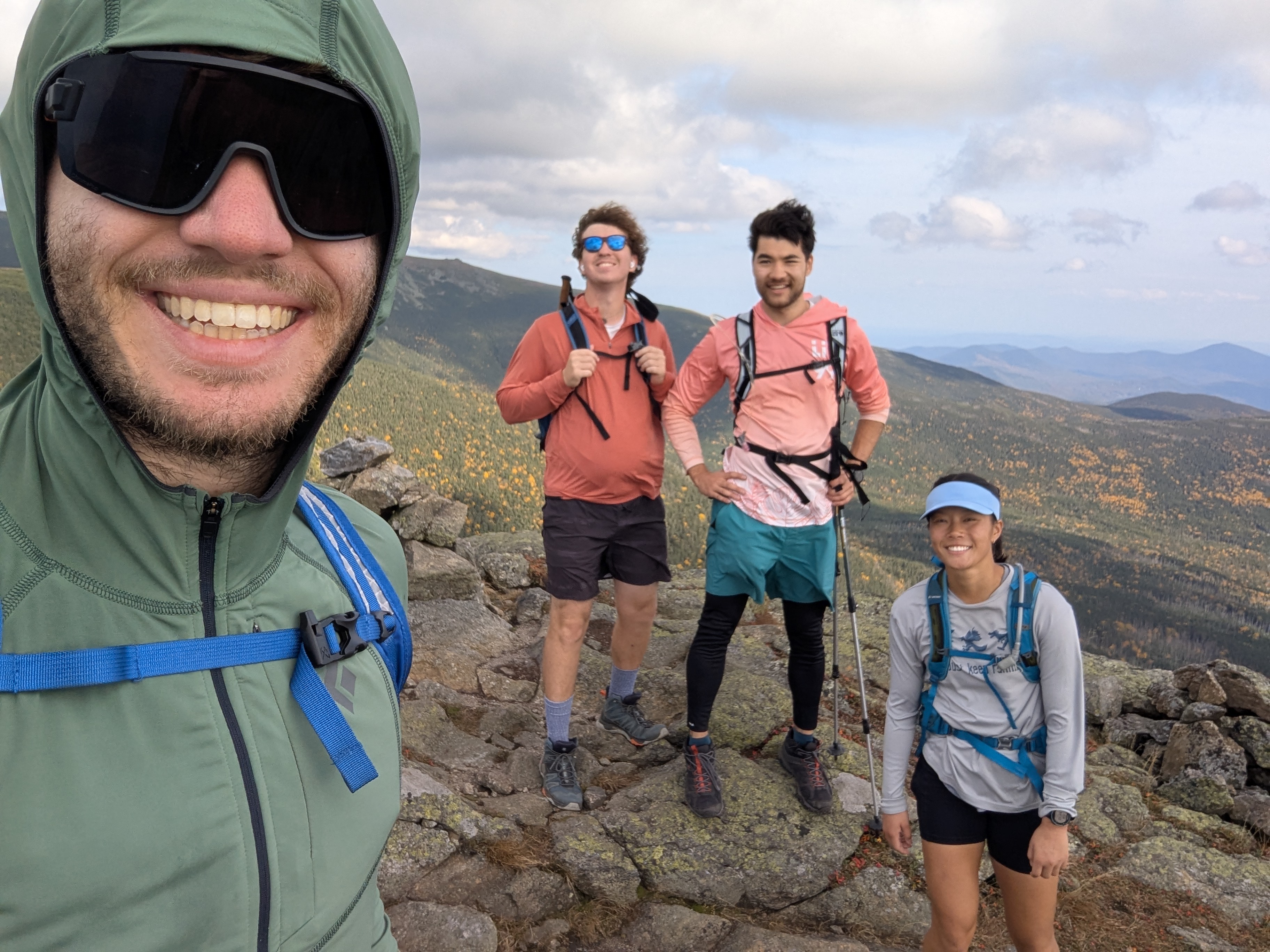
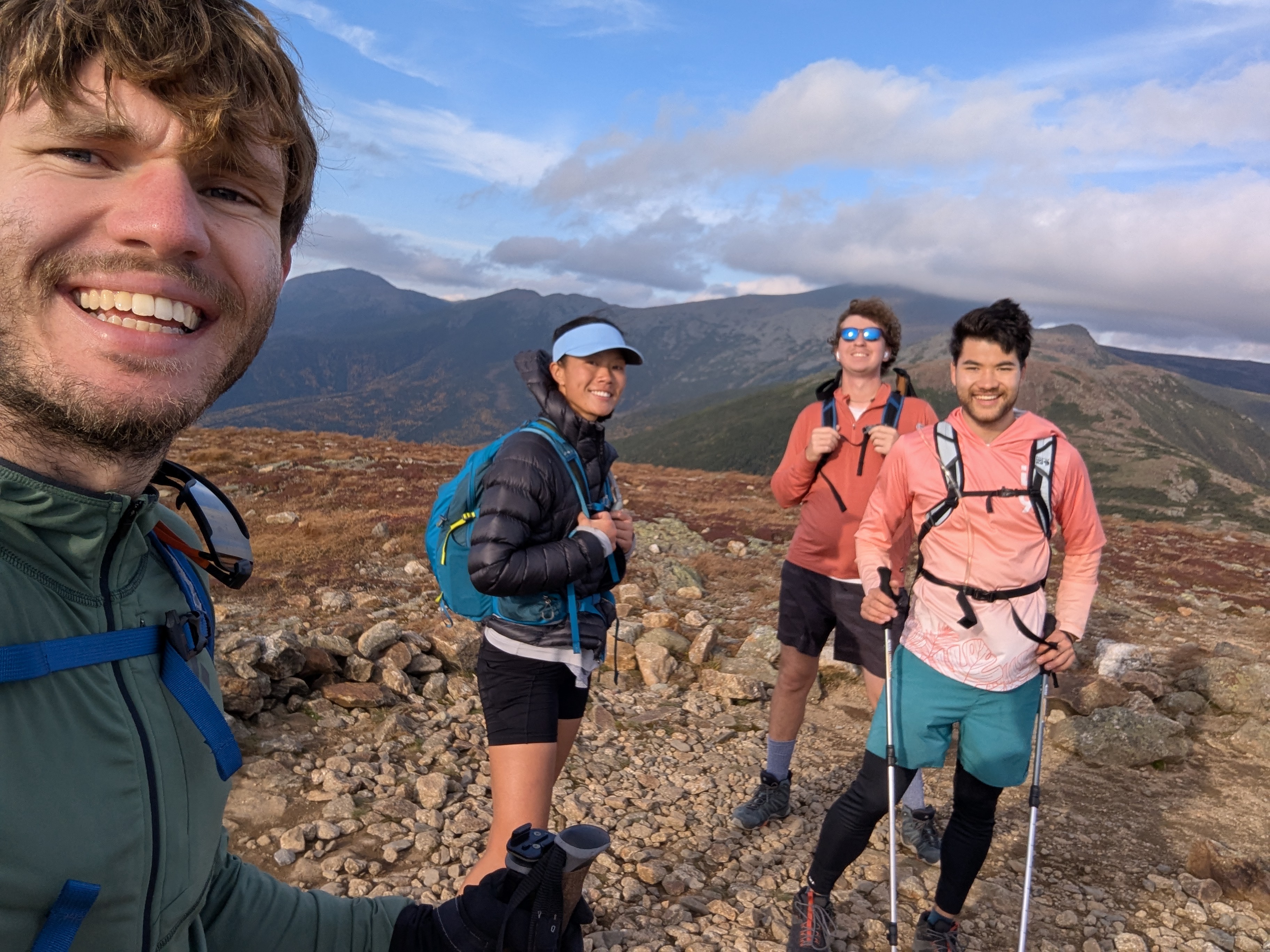
]]>Linus KoepferHiking the Presidential Traverse2025-09-27T00:00:00+00:002025-09-27T00:00:00+00:00https://linusoutside.com/2025/09/27/presi-hikeA Super Summit Selfie Spectacular
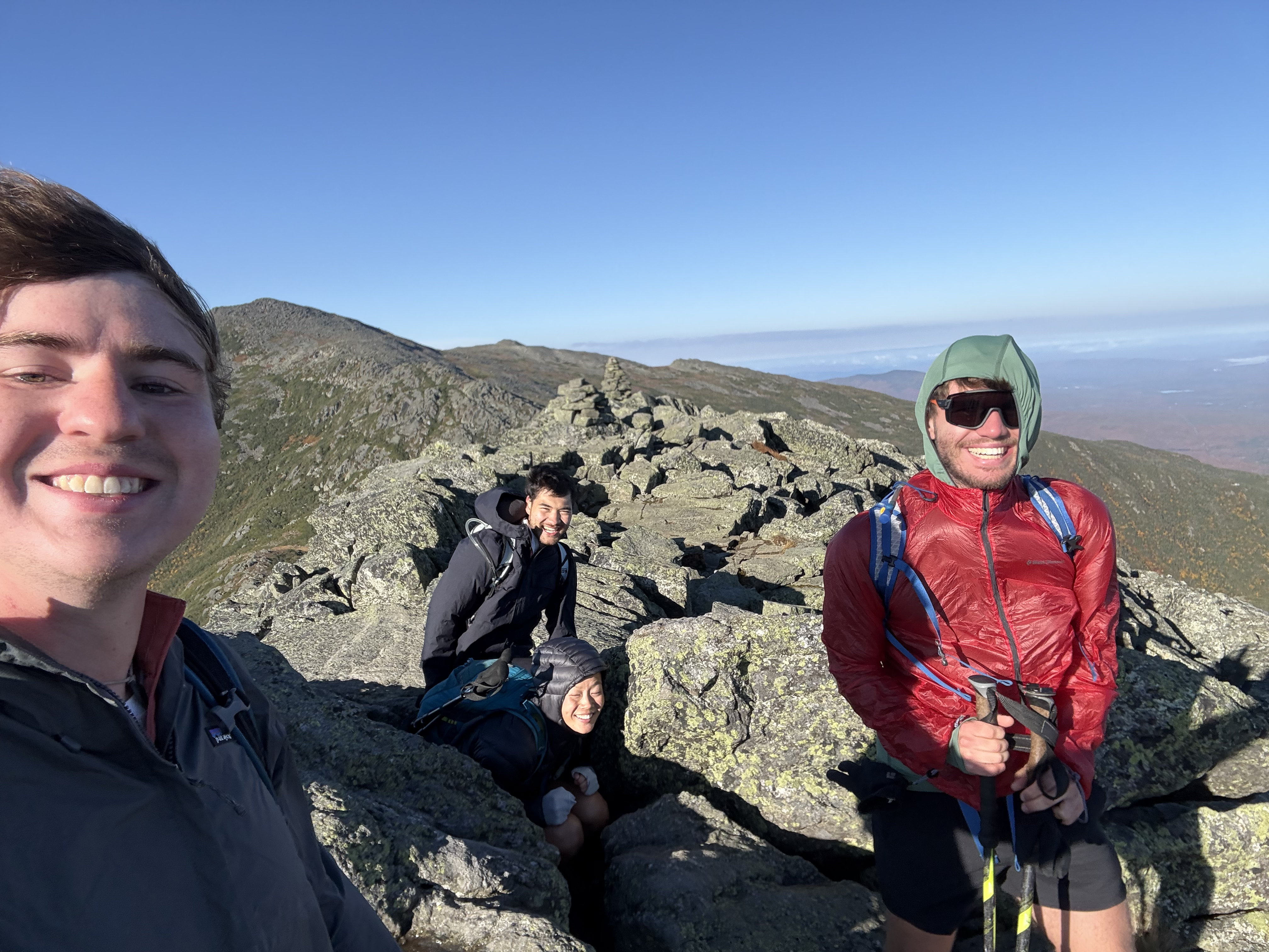
Every summer I lose the majority of my friends to the sport of ultimate frisbee (which to be fair is how I made those friends in the first place, but still) - finally the season was over, and there was East Coast hiking to be done. Matt, Calvin, En Le and I decided to try hiking the Presidential Traverse in New Hampshire in a single day. While Matt had backpacked the route previously, and the rest of the group had attempted but not completed a two-day trip; I had never entered the Presidential Range at all, and was looking forward to what I’d ultimately say was the most scenic hike I’ve done in the Northeast.
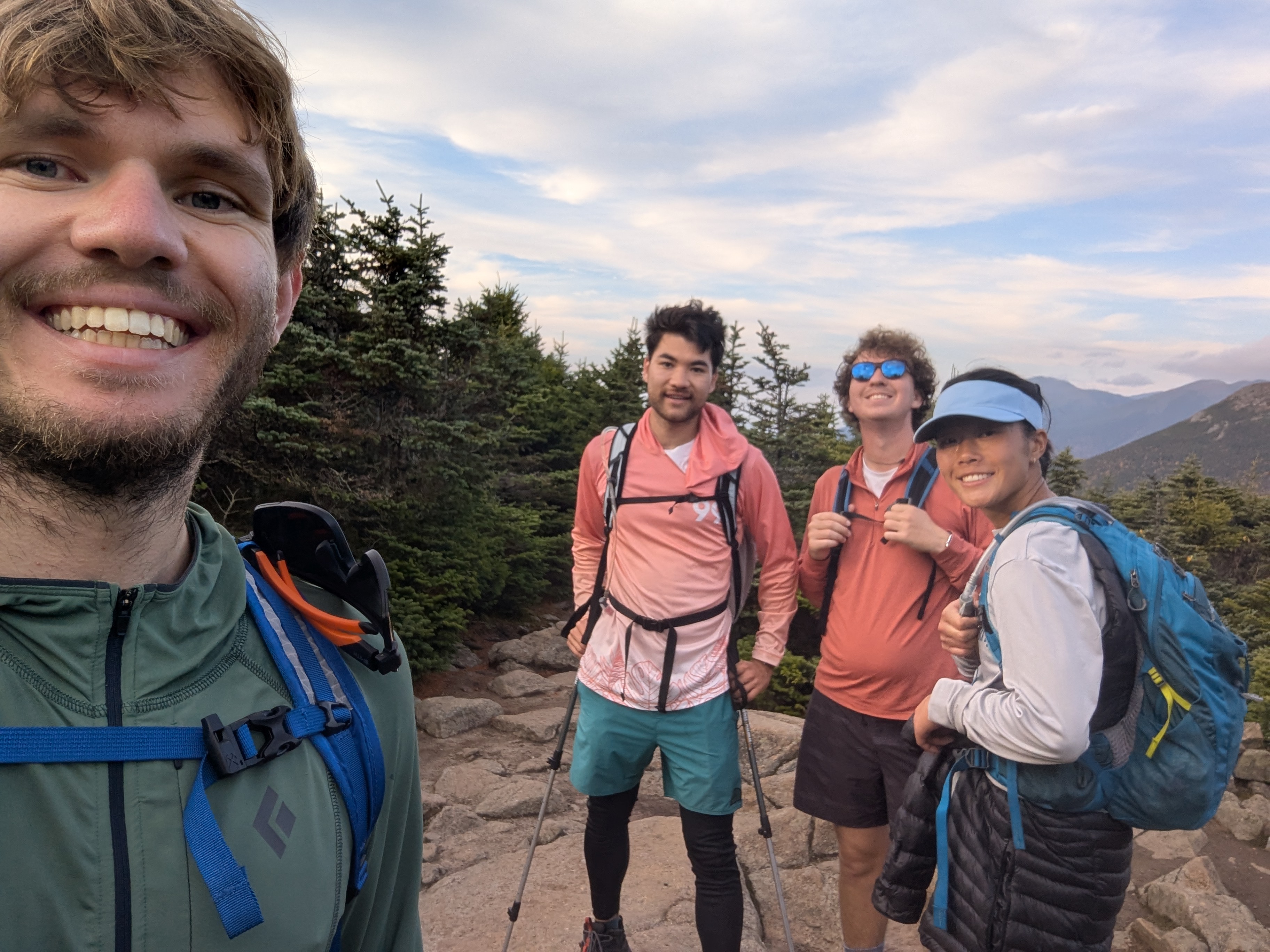
We drove up to New Hampshire after work on Friday, checking into the motel after their front desk closed, and leaving before it opened again. Having left my car at the Crawford Notch trailhead the previous night, we headed to Valley Way for a bright (well, dark) and early 6:00 am start.
Surprisingly cheery for 6:00 am. If you couldn't tell by our headlamps, it was much darker than this picture made it seem
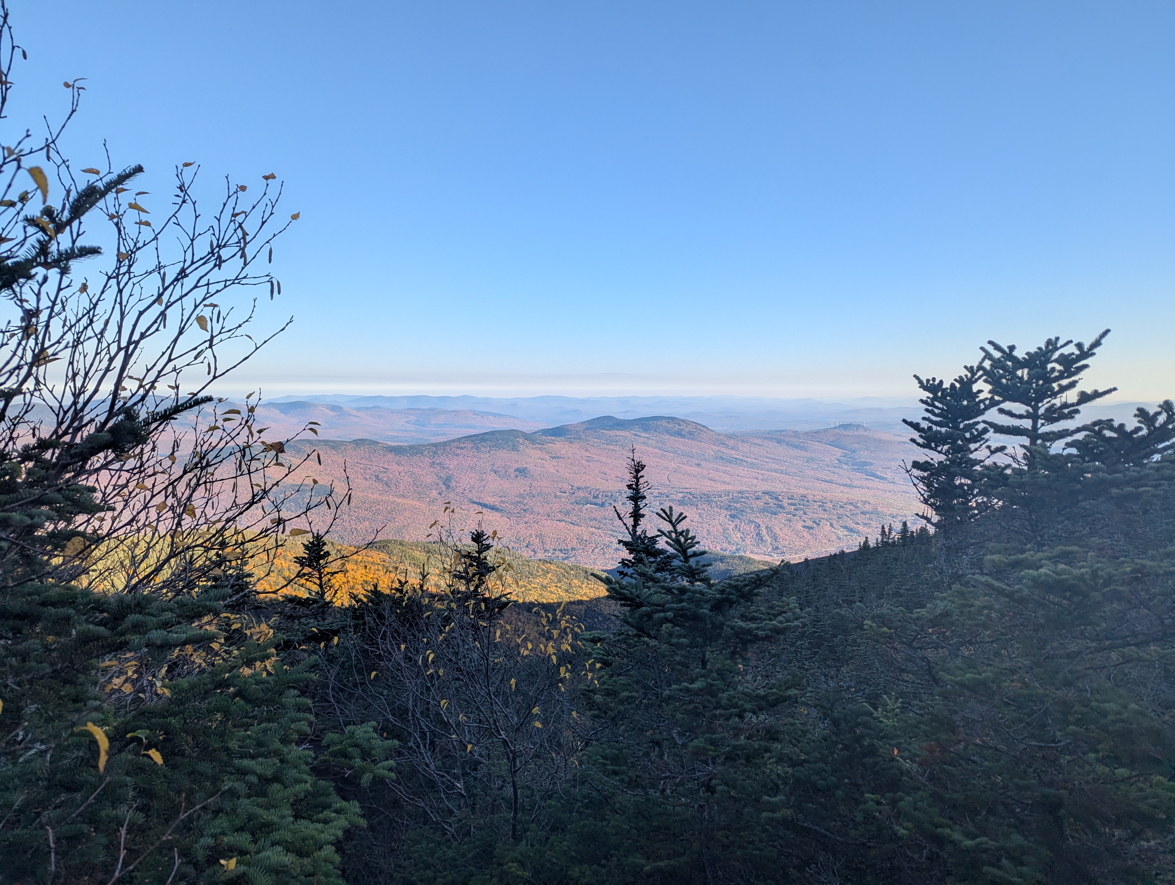
We started making our way up the trail by our headlamps - Valley Way is a fairly standard New Hampshire trail, rocky and treed with minimal switchback, but we made good progress and found ourselves with the beginnings of a nice view by the time it was light.
The first glimpse of mountains, looking back from Valley Way
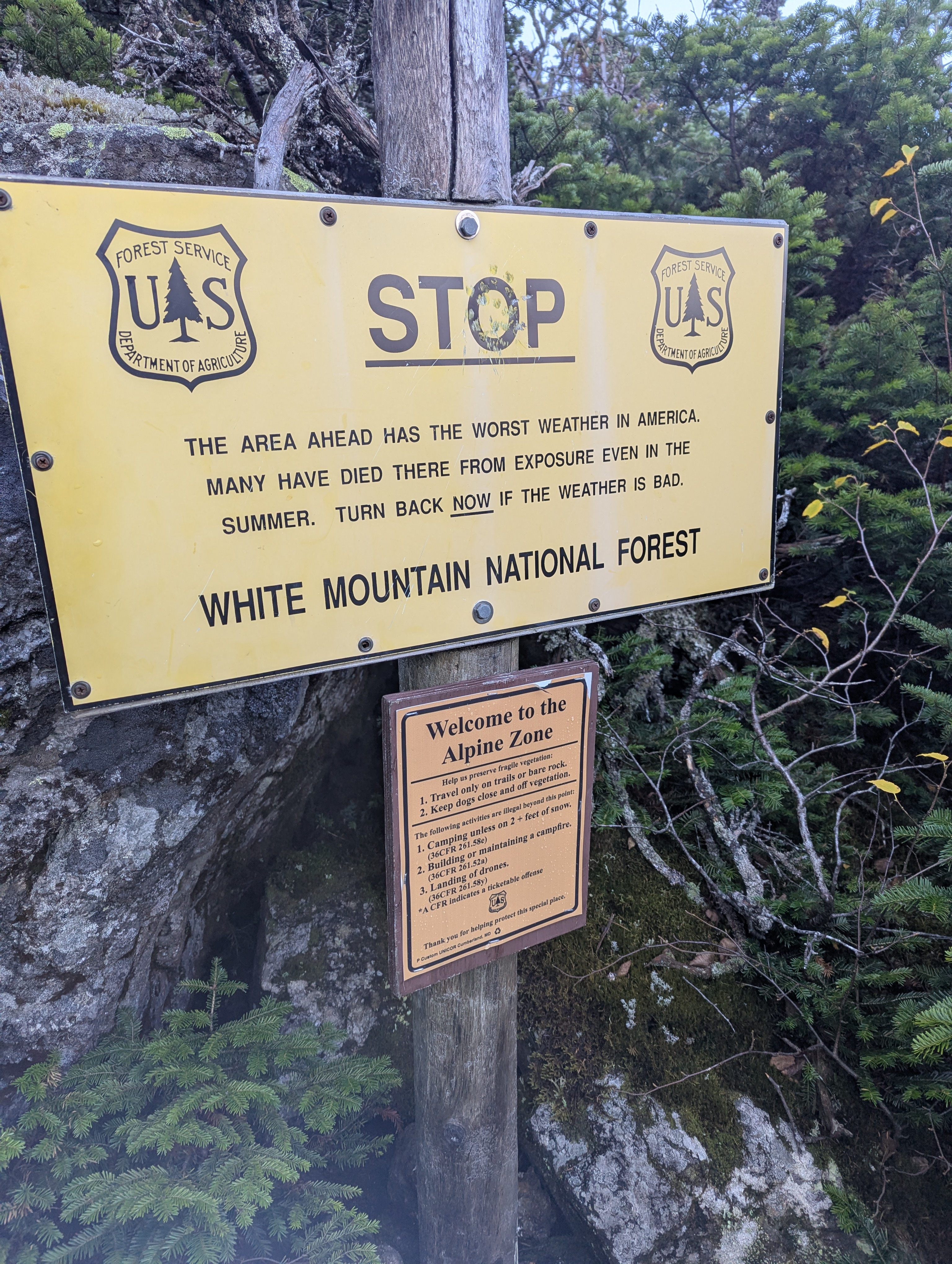
We soon made it into the alpine, where we were greeted with a stern warning. Having checked the forecast, our only worry was the high winds, and knowing we had the appropriate gear we carried on.
Welcome to the Alpine Zone
After a brief stop at Madison Hut, we began our first summit of the day - a rocky path up Mt. Madison.
Madison Hut in the shadow of Mt. Madison. Behind it is John Quincy Adams, and behind that Mt. Adams, our next summit.
The forecast wind did indeed appear as we made our way above treeline, making for a very chaotic first summit of the day at around 8:30 am.
Morning from Mt. Madison! It wimdy
We hurried back down, and after another brief stop at the hut to refill water, continued onwards. Things remained rocky as we made our way around the base of J.Q. Adams, but the wind was far less strong off the summit and we enjoyed the sunshine as we cruised through the alpine.
This place rocks
After another windy summit around 9:45 am, we descended back towards the Appalachian Trail and began to make our way towards Mt. Jefferson.
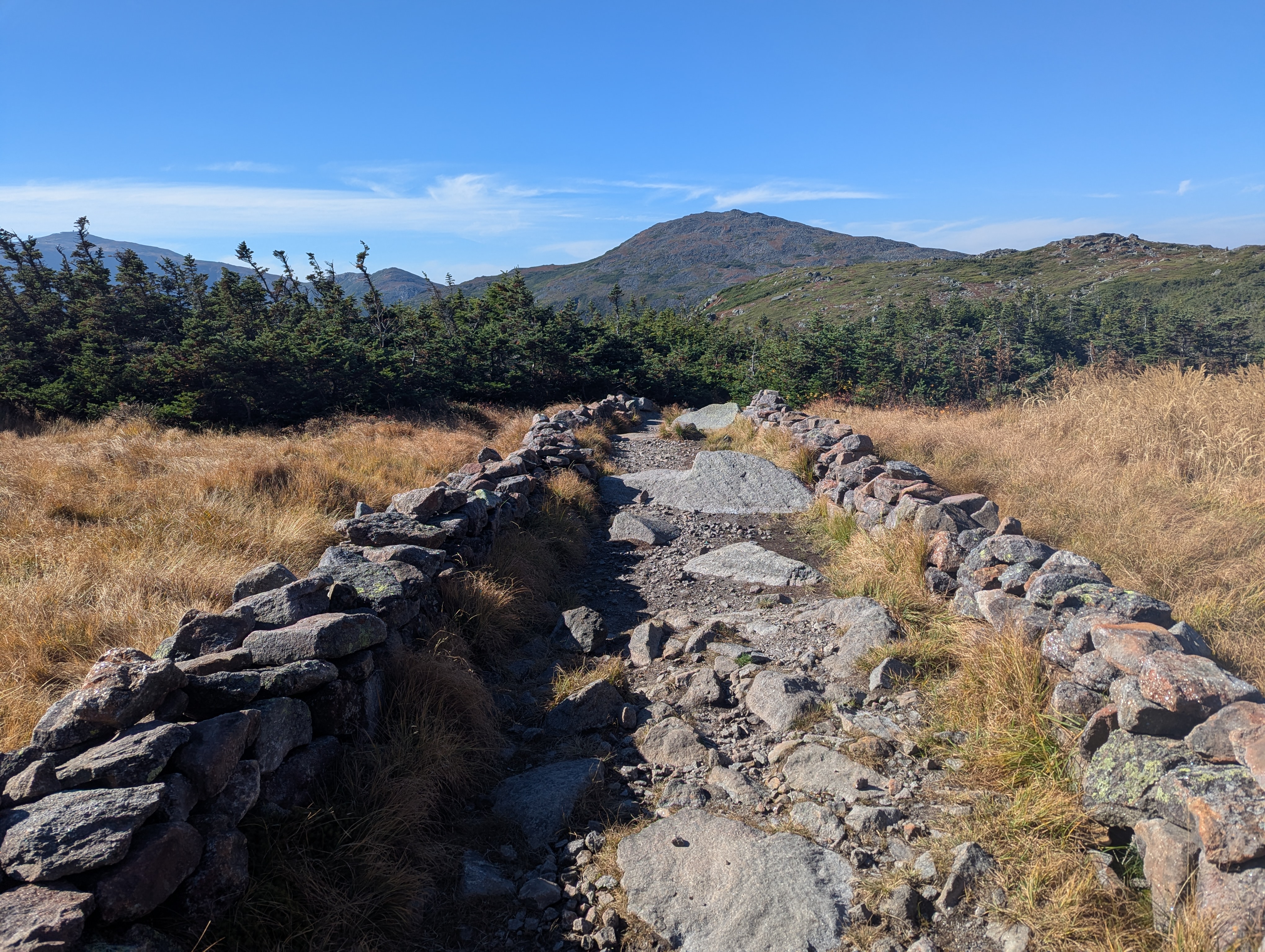
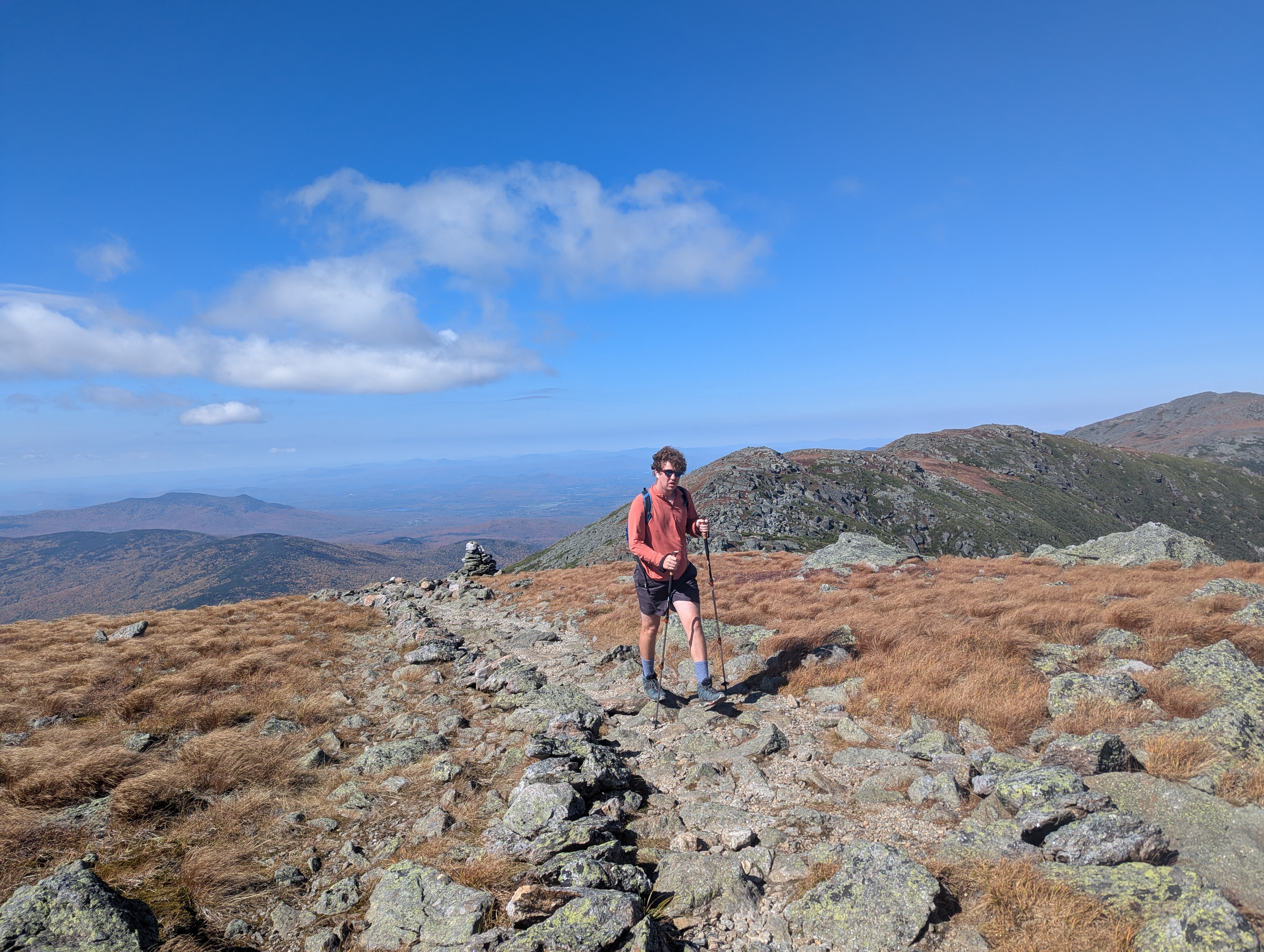
Ahoy from Mt. Adams!Looking down the AT towards Mt. Jefferson. Huge shoutout to the crews that built this trail for moving all these rocks
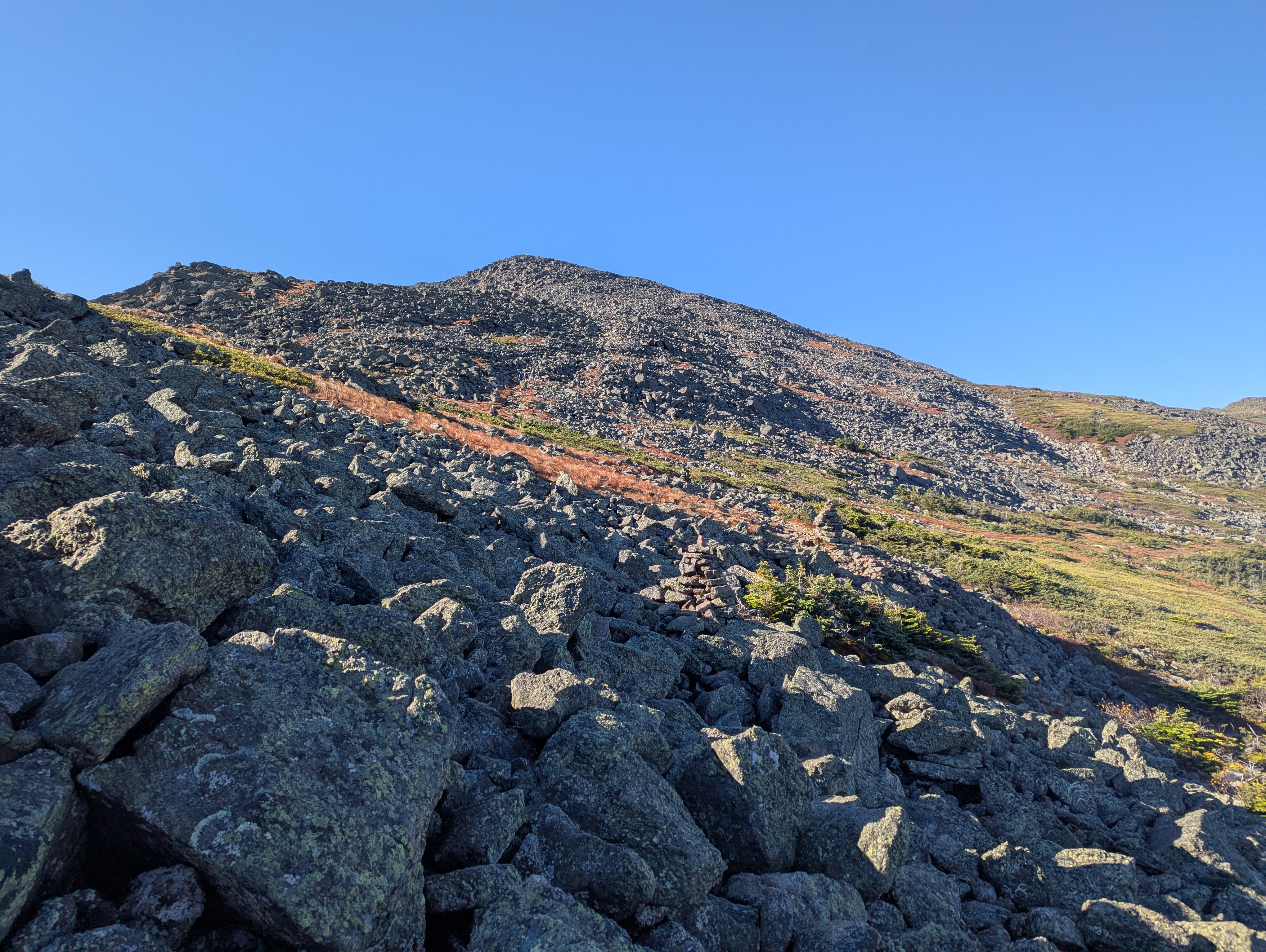
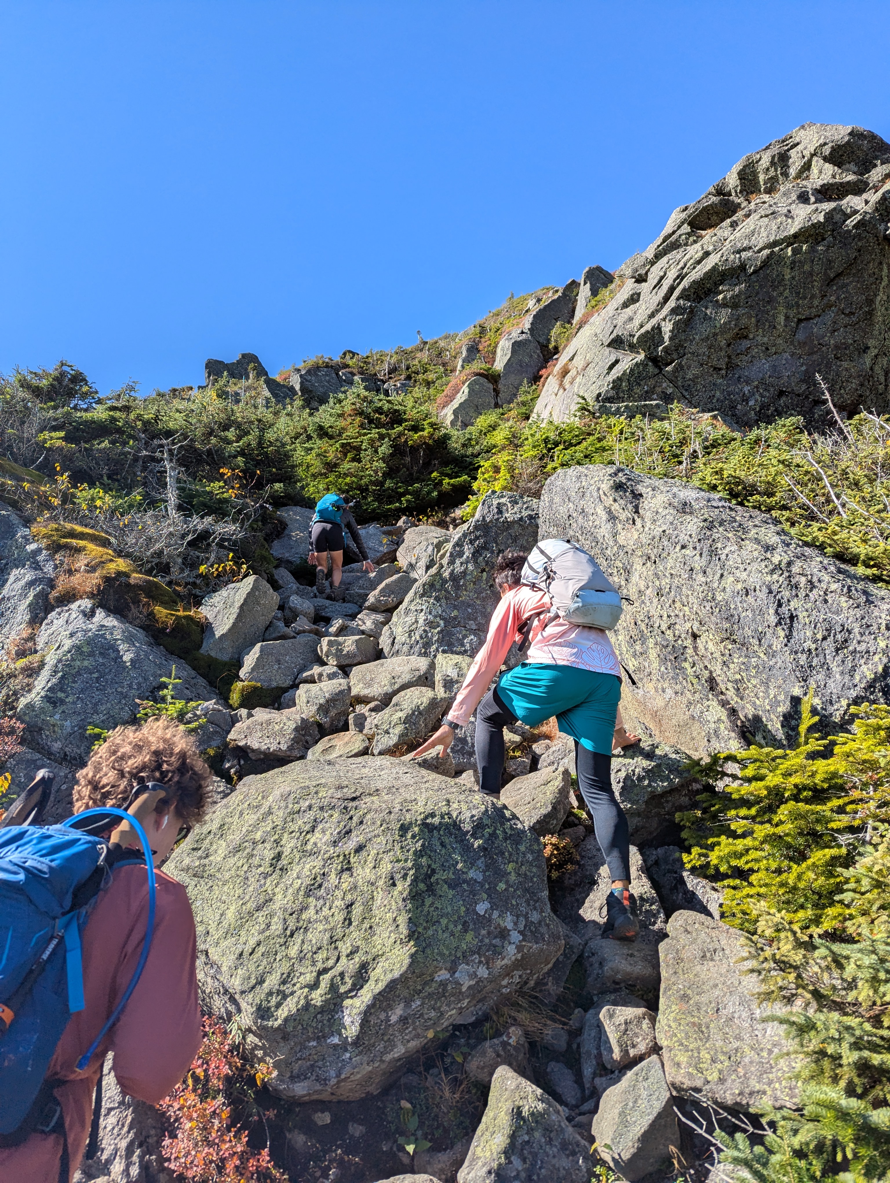
The trail steepened again as we approached the top of Mt. Jefferson, culminating in a short scramble up the summit rock pile and an 11:15 am summit.
A hands-on approach to Mt. Jefferson
Joyful Greetings from Mt. Jefferson! I couldn't decide which of these was the least awful so you get all three
We continued to enjoy the open alpine terrain as we headed for Mt. Washington.
Mt. Washington dominates the skyline, with Mt. Clay in front
And paused on top of Mt. Clay for a brief lunch around 12:30 pm.
Cheers from Mt. Clay!
As the wind abated, we enjoyed clear views in all directions. This was already the longest I had been continuously above treeline in the Northeast, and between the New England fall foliage below and the alpine terrain up ahead I was having a wonderful time.
Matt on a mission towards Mt. WashingtonAlpine up top, fall foliage below
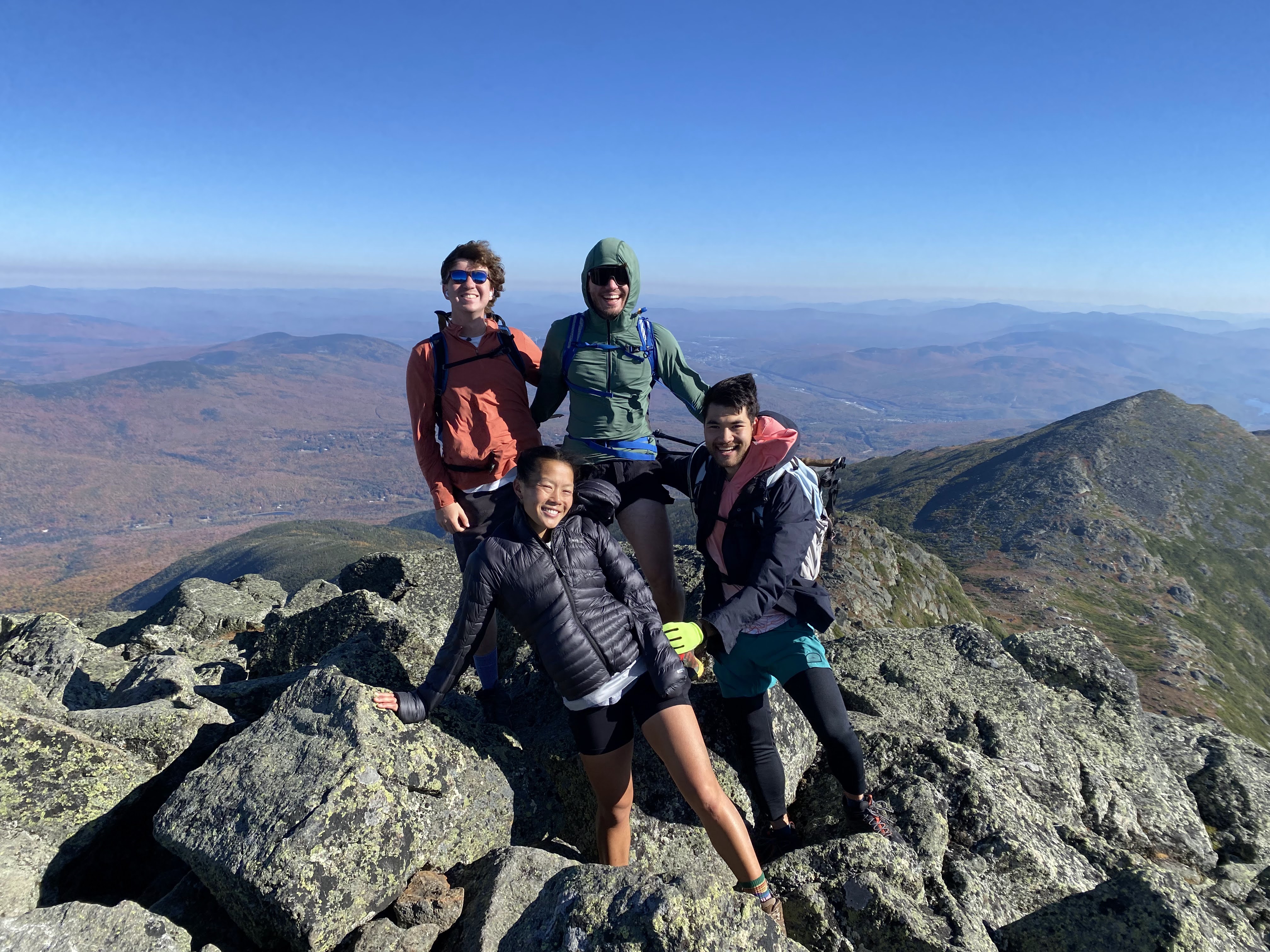
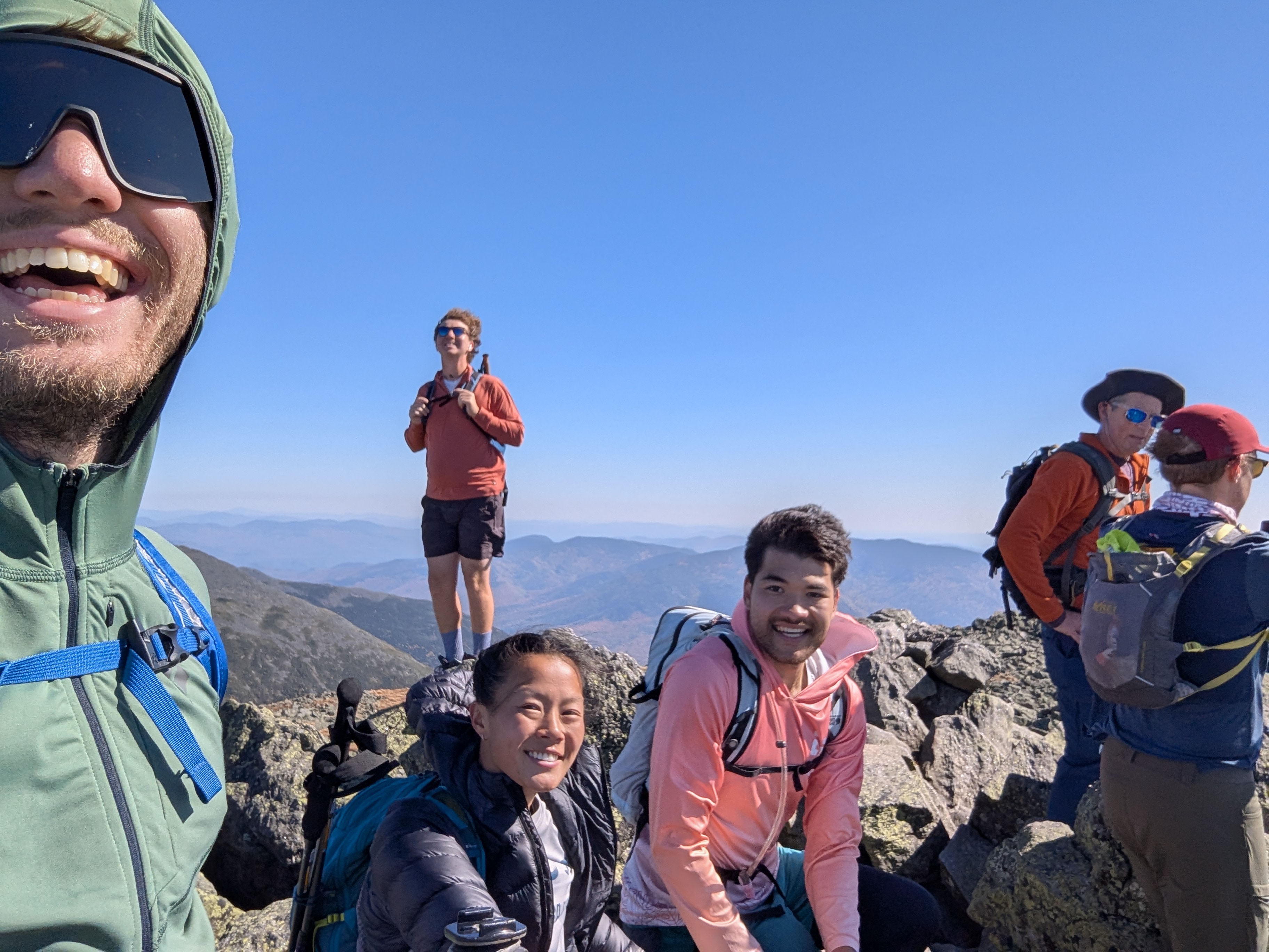
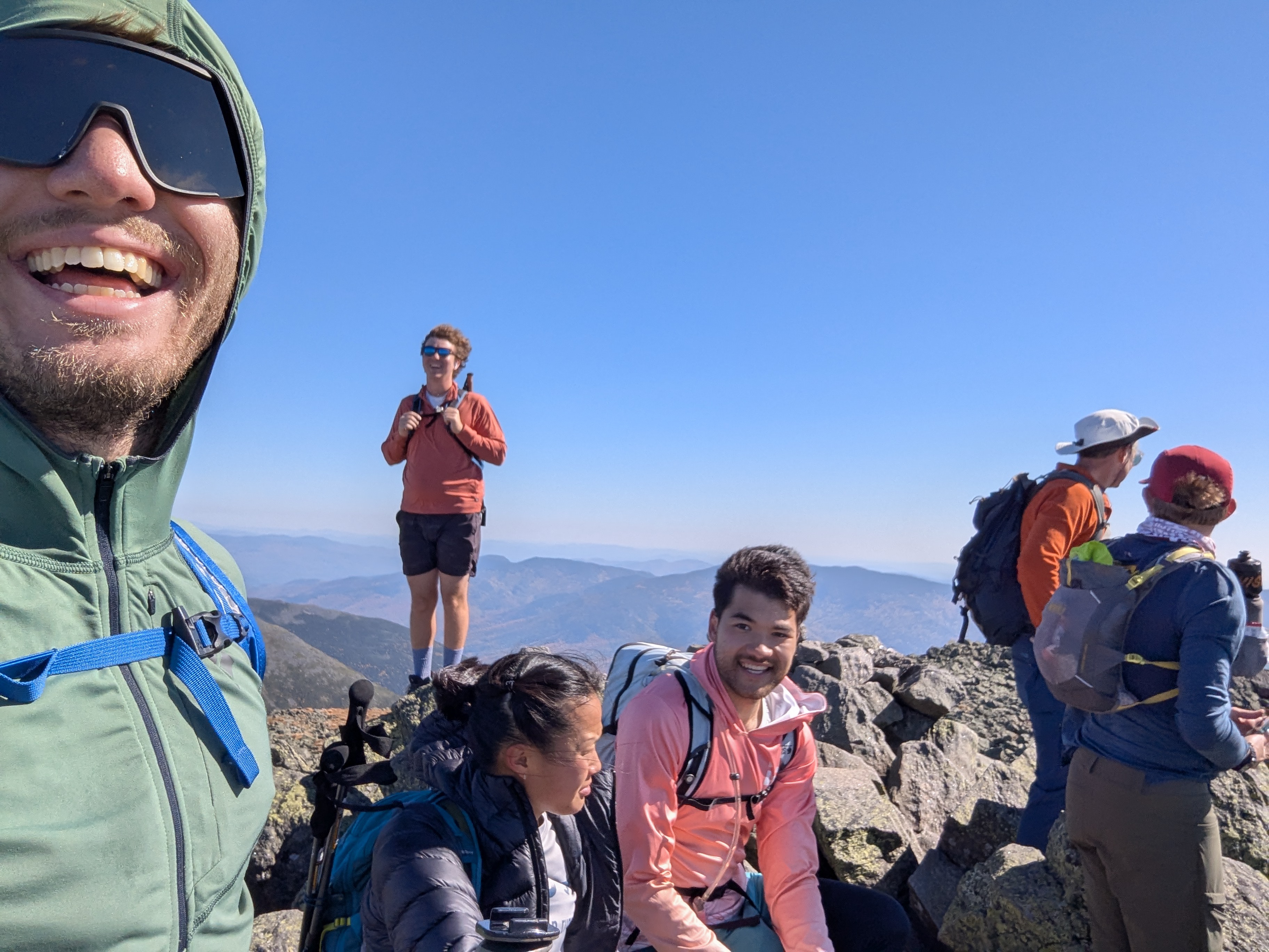
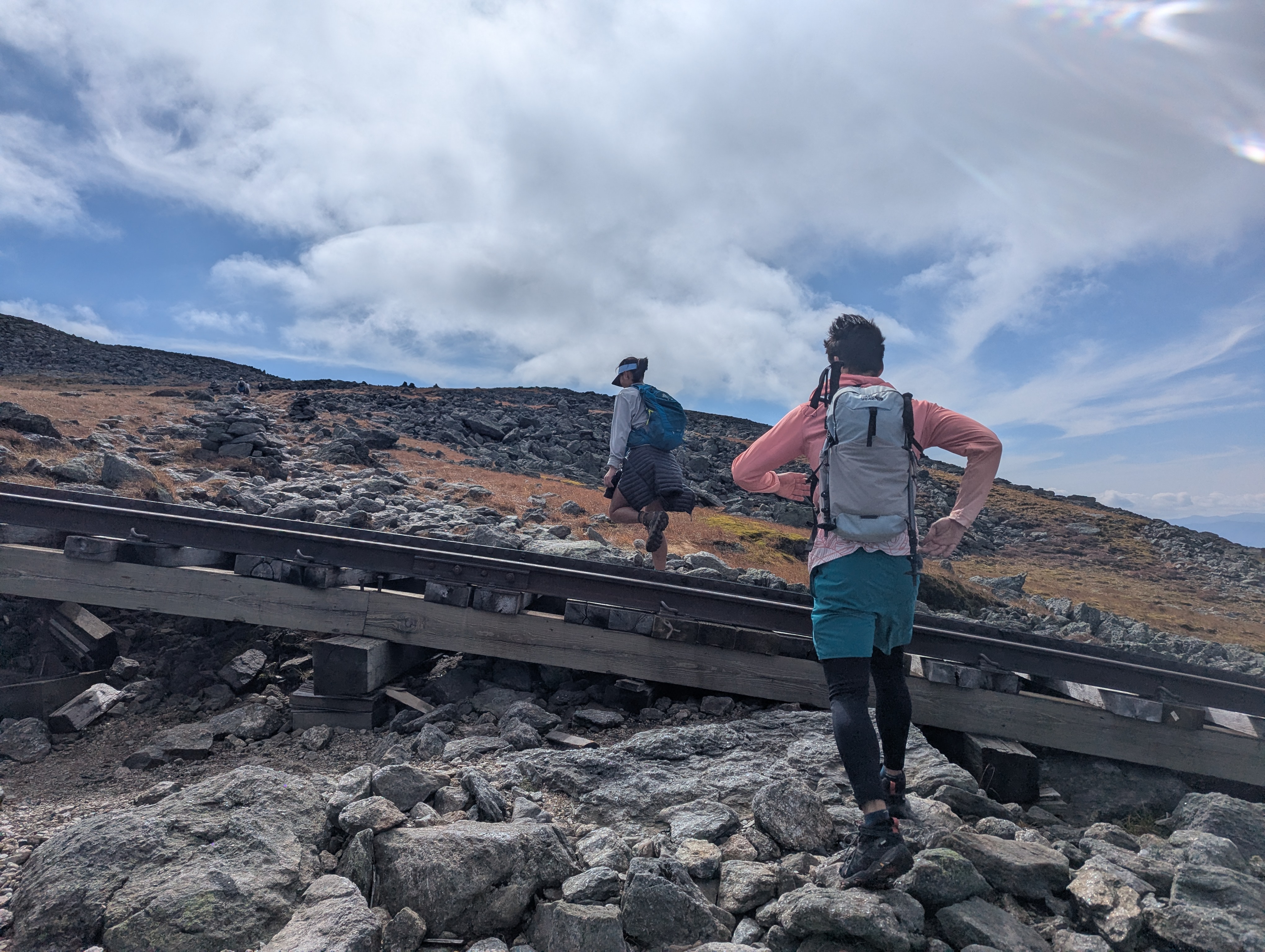
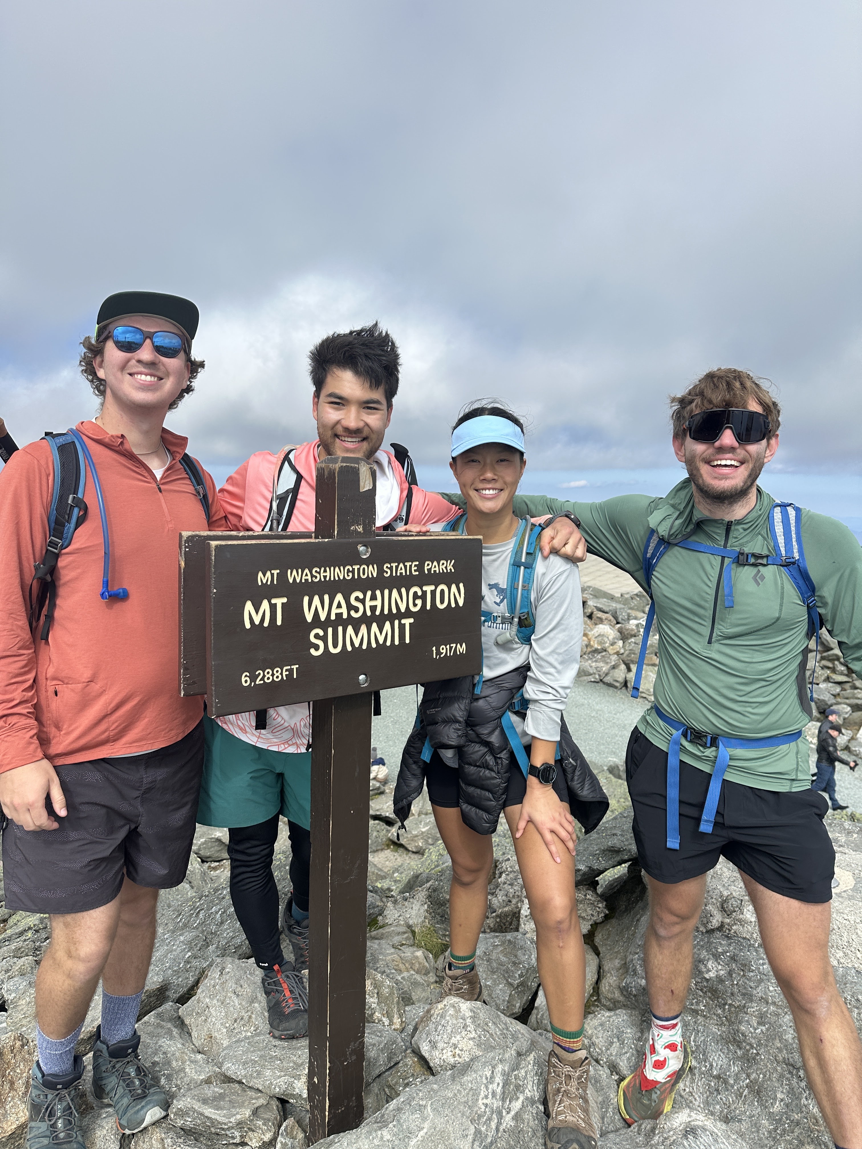
We proceeded up Mt. Washington, and reached the summit around 1:45 pm.
Crossing the Cog Railroad Tracks near the top of Mt. WashingtonWarm Wishes from Mt. Washington!
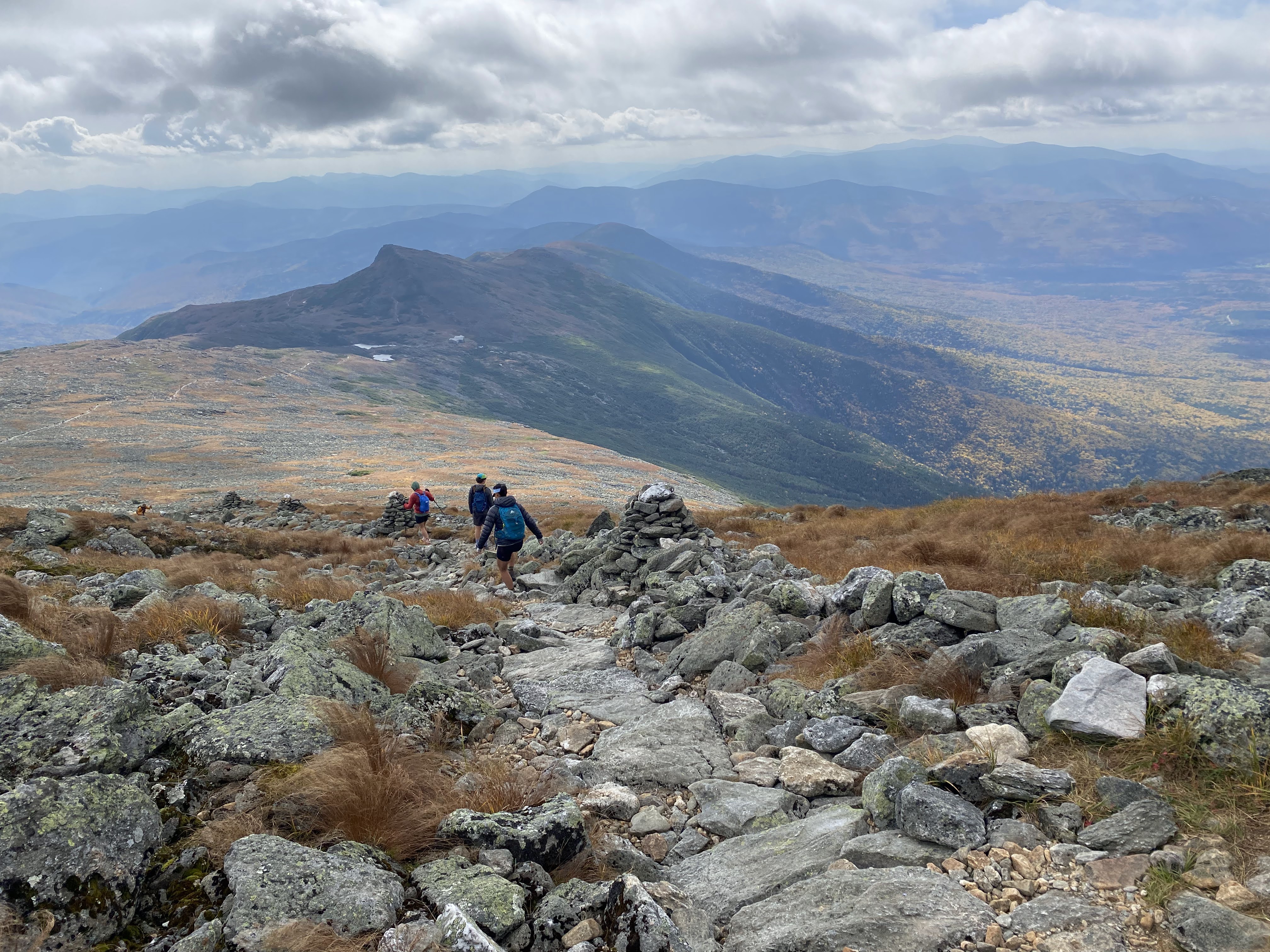
After a brief break at the visitor center (snacks, bathrooms, the big list of Mt. Washington fatalities, postcards) we proceeded onto the second half of our hike. Since we hadn’t been able to see past Washington until now, this also exposed new views - still beautiful alpine terrain.
Descending Mt. Washington. Lakes of the Clouds Hut and Mt. Monroe in the distanceLooking back at that descent, having just passed the hut and started our way up Monroe
As the summits grew smaller and the group tired, time started to blur a bit. We made it up Monroe around 3:15 pm.
Miss You from Mt. Monroe!
And then over Little Monroe and Franklin, which don’t get alliterative greetings because they’re not presidents (yes neither was Clay but it’s my blog I can do what I want)
Smaller Summits Suggest Speedy Selfies
From there it was on to Eisenhower (4:45 pm)
Evening from Mt. Eisenhower!
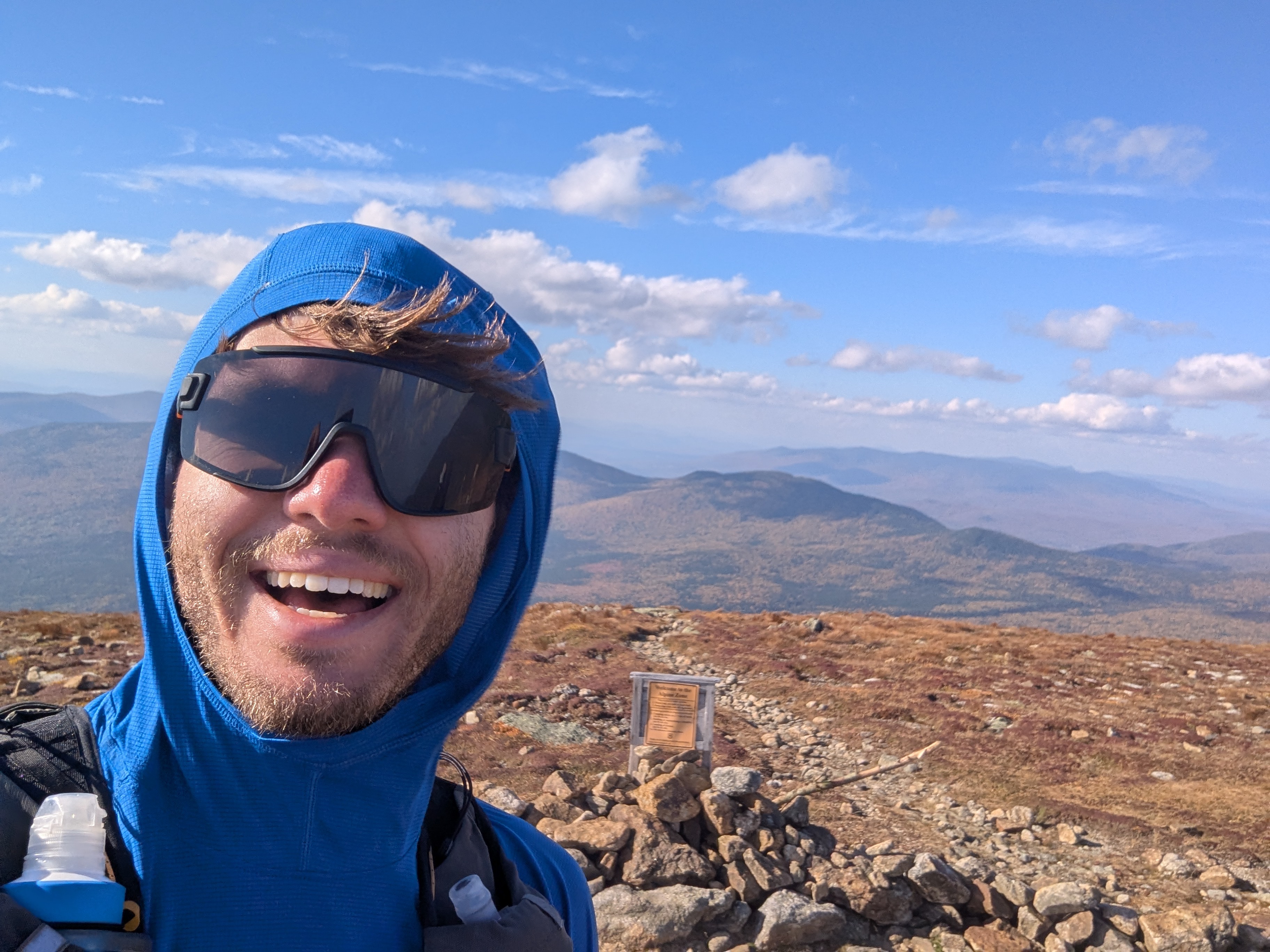
And finally back into the wooded trails more typical for the region, emerging once more to tag Mt. Pierce (5:45 pm)
Party at Mt. Pierce!
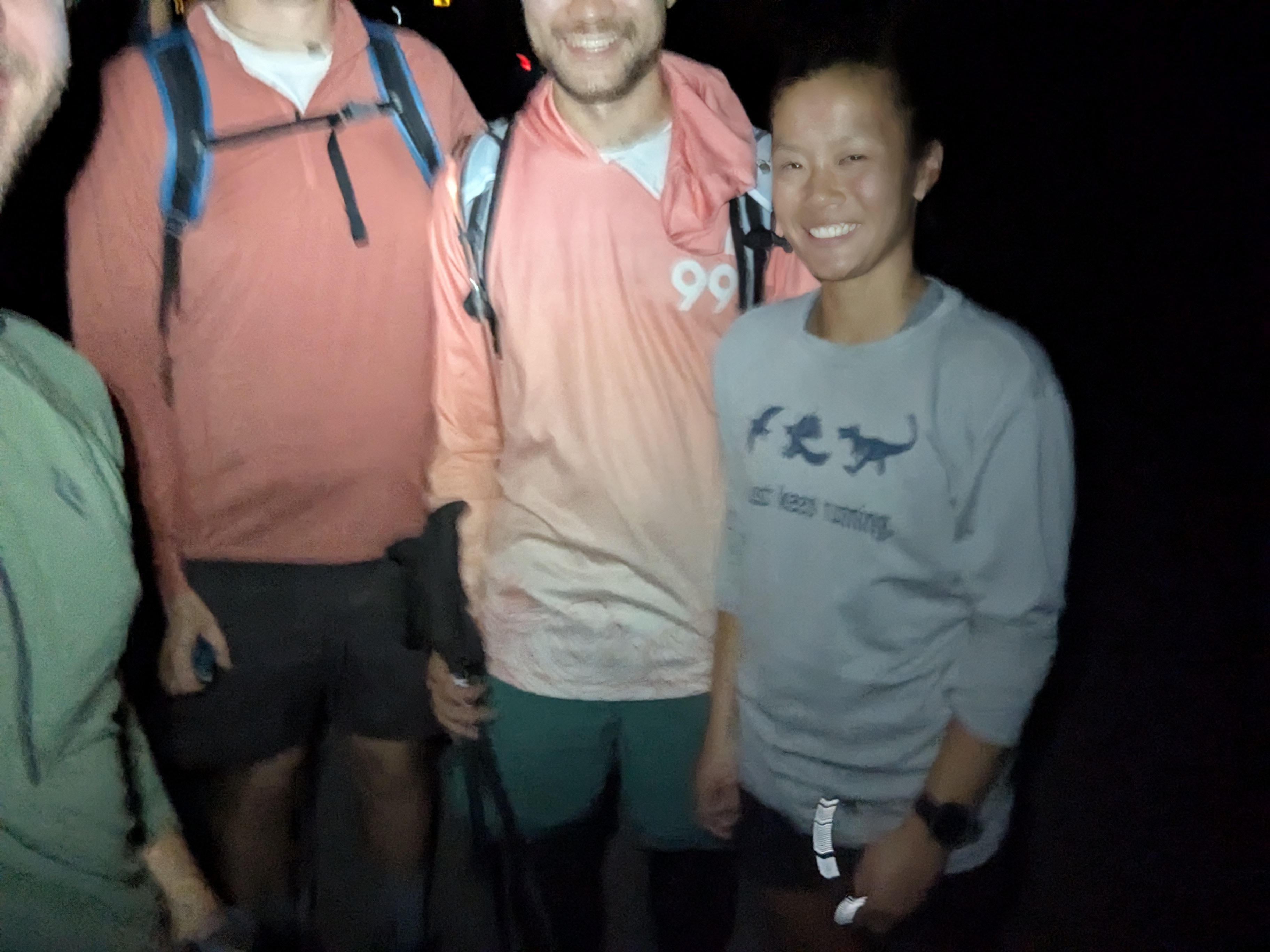
From there it was a bit of a slog down through the woods. The group was tired from a long day, but still in good spirits overall, and good conversation made up for heavy legs. We re-donned our headlamps, and finally reached the Crawford Notch Trailhead at 7:45 pm, too exhausted to find our faces with the camera
This 'selfie' pretty accurately reflects our state at the end of the hike
I had an absolutely wonderful time. The weather was close to perfect once the wind died down, and the views were constant and spectacular, especially with the late September foliage. This was perhaps my favorite hike I’d done in the Northeast to date, and I couldn’t wait to go back. Literally
I did this because Sleeping Giant is the local state park closest to my parents' house. I would not recommend this adventure unless you happen to already be in the area and can't find anything more interesting to do. Accordingly, this trip report is more of a self-analysis of my first ultra than any sort of guide or recommendation.
Sleeping Giant is a Connecticut State Park approximately 10 minutes from my parents’ house. It’s where we went for family hikes as kids, and for the occasional weekend cross-country practice in high school. I had attempted to do some trail runs there while visiting my family in the past and struggled with the relatively rocky trails. However, since I was now back for multiple months building my second van I decided that was probably a skill issue on my end and gave it another shot. My main complaint about Sleeping Giant is its relatively small size, and I offhandedly remarked that I could probably do every trail in the park in a single day…
To register for the “Marathon Giant Master” the SGPA requires you to first complete the basic Giant Master Program - of course you can simply go run all the trails, but I figured I might as well get the certificate or whatever. I completed the Giant Master over a few weeks, just replacing the road runs I had been doing with trail runs.
I think the SGPA is absolutely on the right path here - the trails in Sleeping Giant greatly vary in their “runnability”, and two involve short scrambles. Most trails are also (in my opinion) slightly under-blazed, meaning some familiarity is beneficial rather than trying to figure out navigation most of the way through a 30-mile day.
Route selection
Sleeping Giant’s trail system is broken down into two major parts: The red trails (Diamond, Octagon, Triangle, Circle, Square) traverse the park from North to South and can be easily connected into a snake via perimeter roads; The other colors run from East to West and generally start at the main parking lot and end at Chestnut Lane. This would make for a fairly intuitive route - the Red Snake and some rainbow loops - were it not for:
Blue-White, Blue-Violet, and two Yellow-Green connector trails running between the main trails
The Tower Road, a wide gravel road running up to the tower on the park’s peak
The Nature Trail, which shares some segments with other trails, but also has some of its own segments.
The Blue Trail, which starts at gap into the woods off of a random road a mile East of the other trails
Additionally, the Blue and White trails are the most difficult (technical and with the most elevation) trails, so I wanted to get them done earlier in the day
Ultimately I got lazy here and just cribbed the route from the Men’s Unsupported FKT. The women’s route was the most intuitive to me, but had some additional backtracking around the Nature Trail and had the White Trail later in the day; and I had a hard time figuring out what was going on in the self-supported route. I’d recommend looking at the turn-by-turn directions in the images here (Women’s FKT) as a starting point if you want to do this yourself for some reason.
I think there’s definitely further room for optimization here - still a decent bit of backtracking and road-running. At the same time, there is something aesthetically pleasing (and easier on the brain) about running most or all of the trails end-to-end vs. an “optimal” route that requires careful memorization of various intersections.
The Run
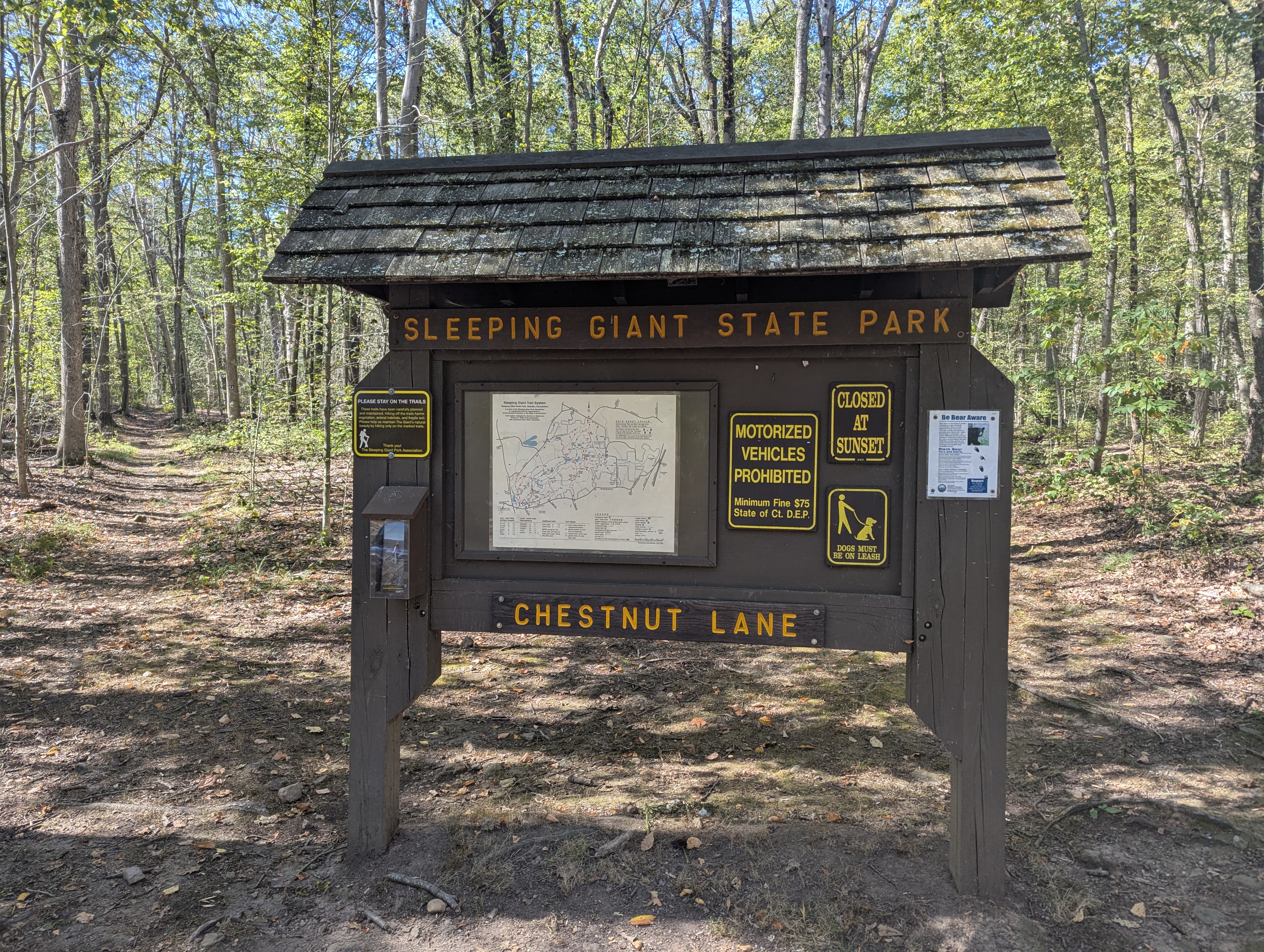
This was to be my first run at the distance, so I decided to park my car in the main lot with extra snacks and water in case I needed to resupply (or bail). After waiting at the gate for the park to open, I left the car and biked to the start of the blue trail.
After that there’s not too much interesting to say - the whole run is in the trees and although the total vert is decent there are no individual major climbs.
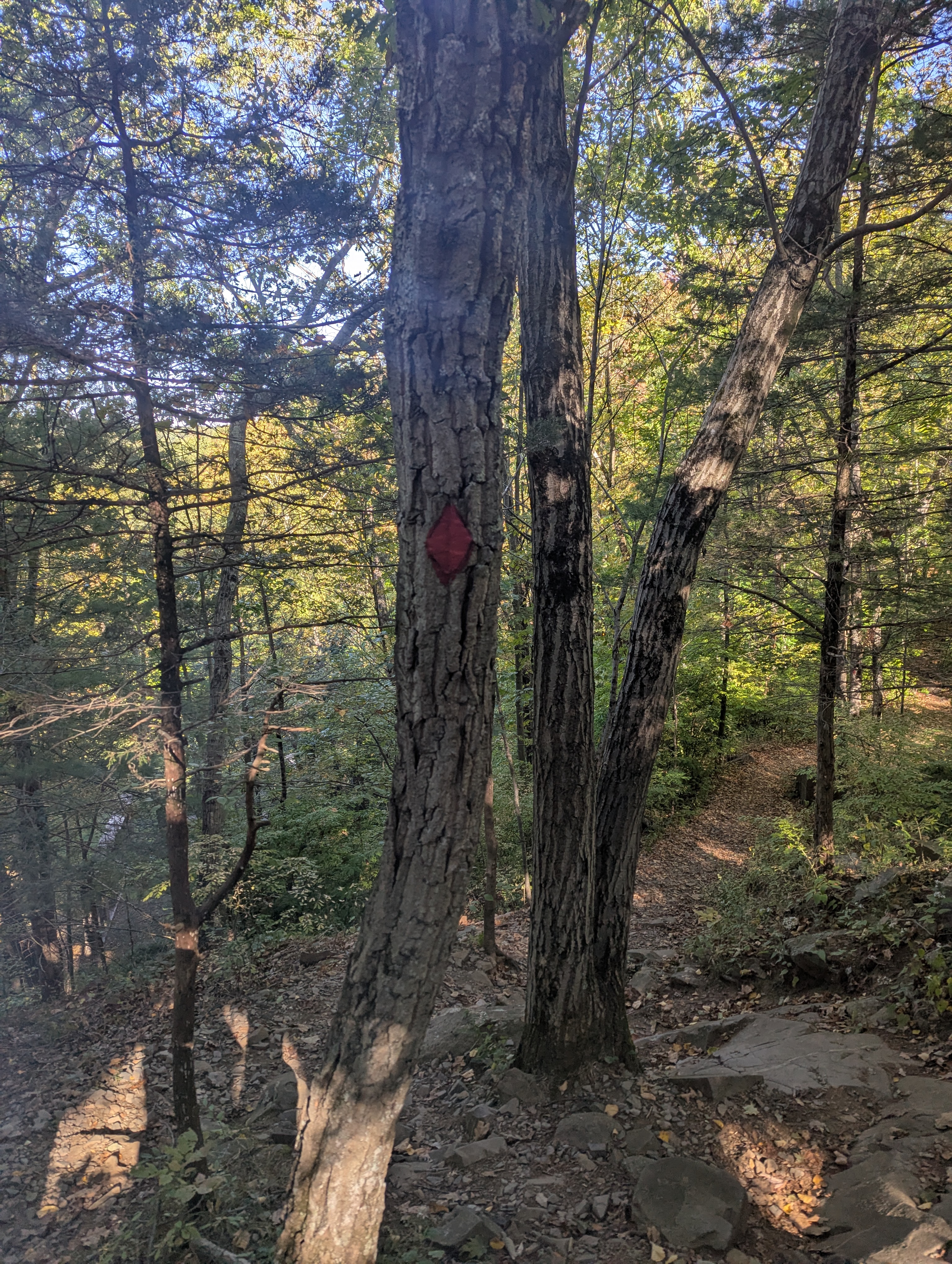
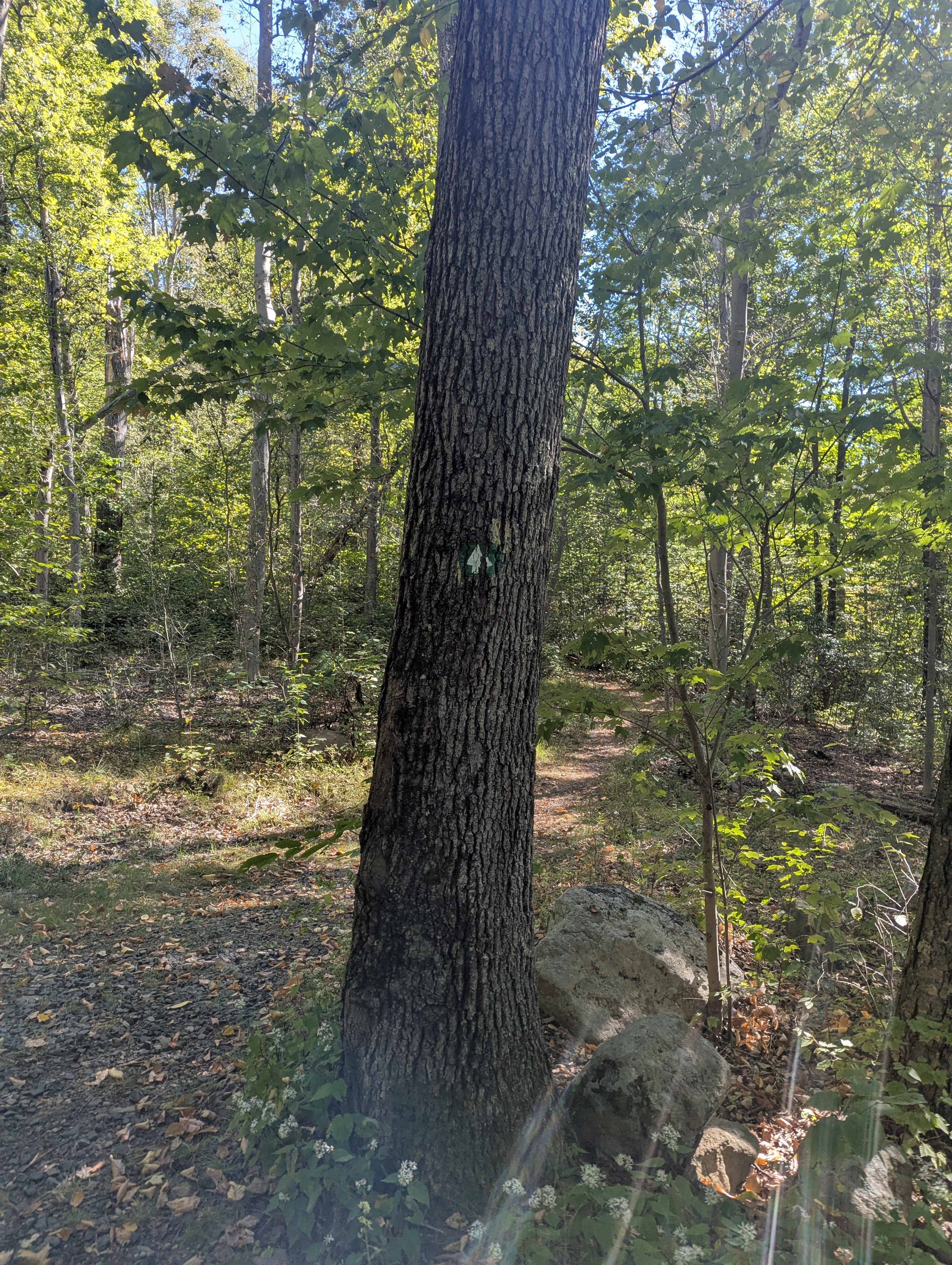
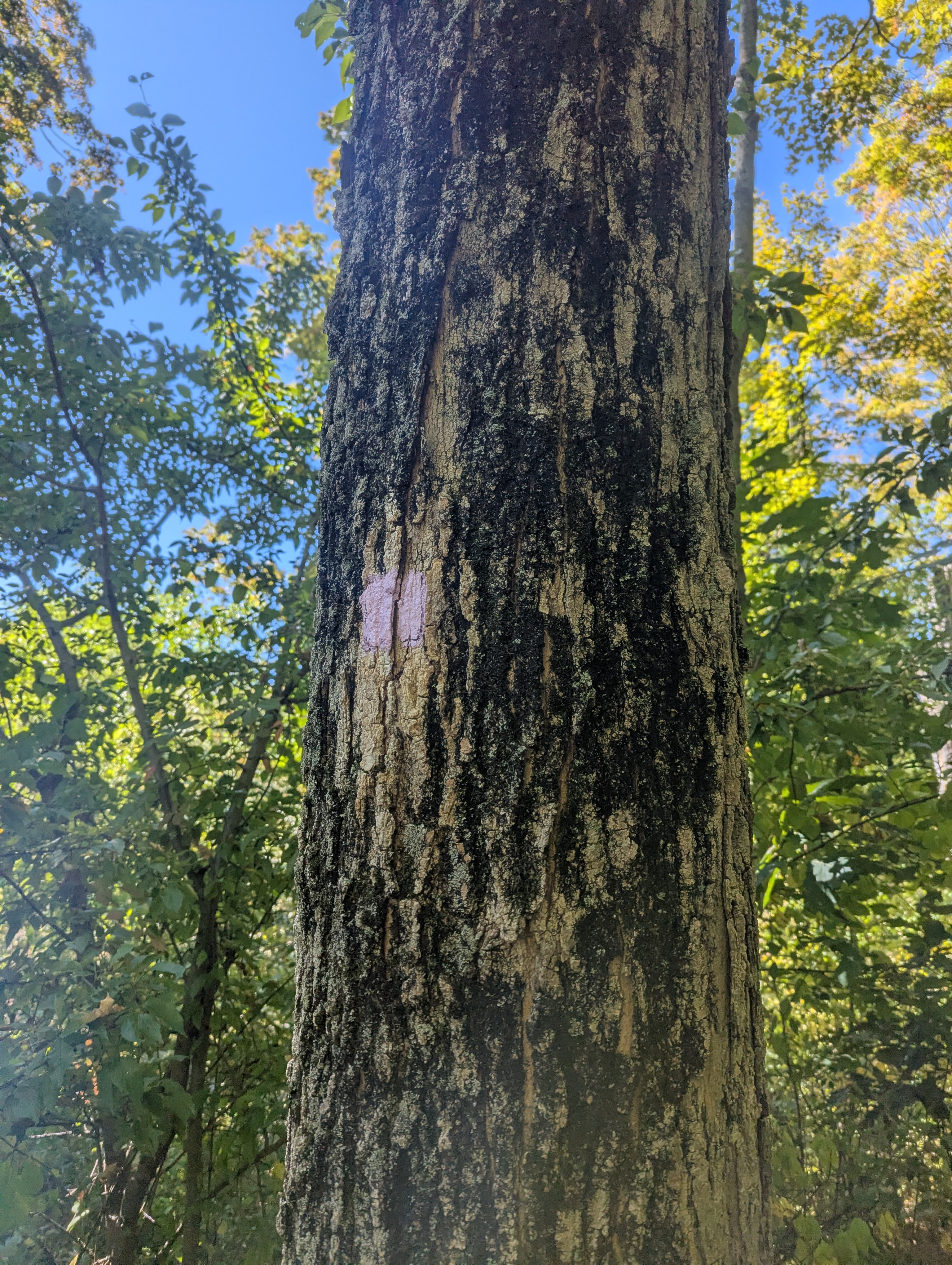
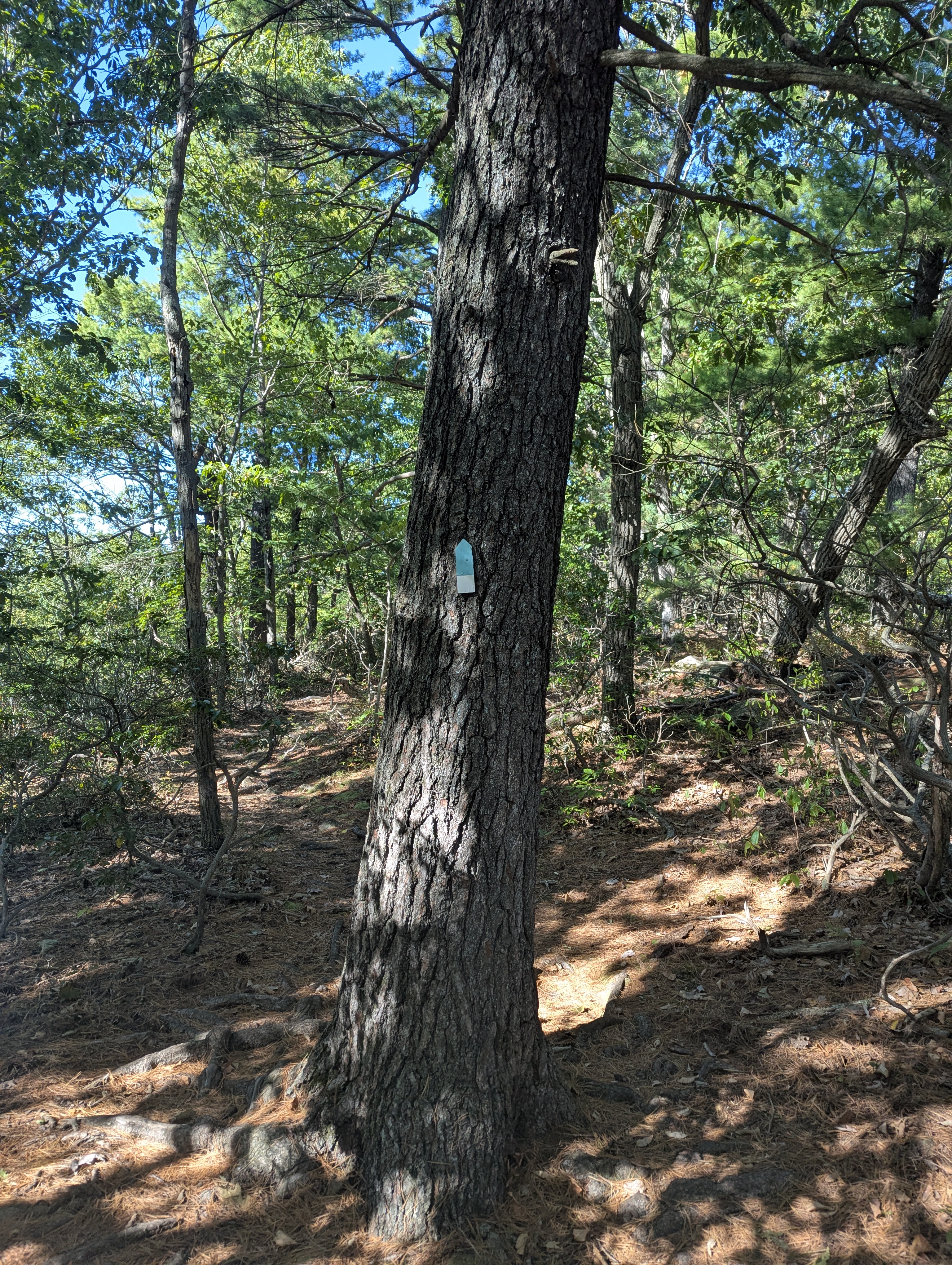
First time in my life I've been early to anythingSpot the bikeThe start of the Blue Trail - believe it or not this is also the terminus of the oldest trail in Connecticut's Blue-Blazed Trail System.
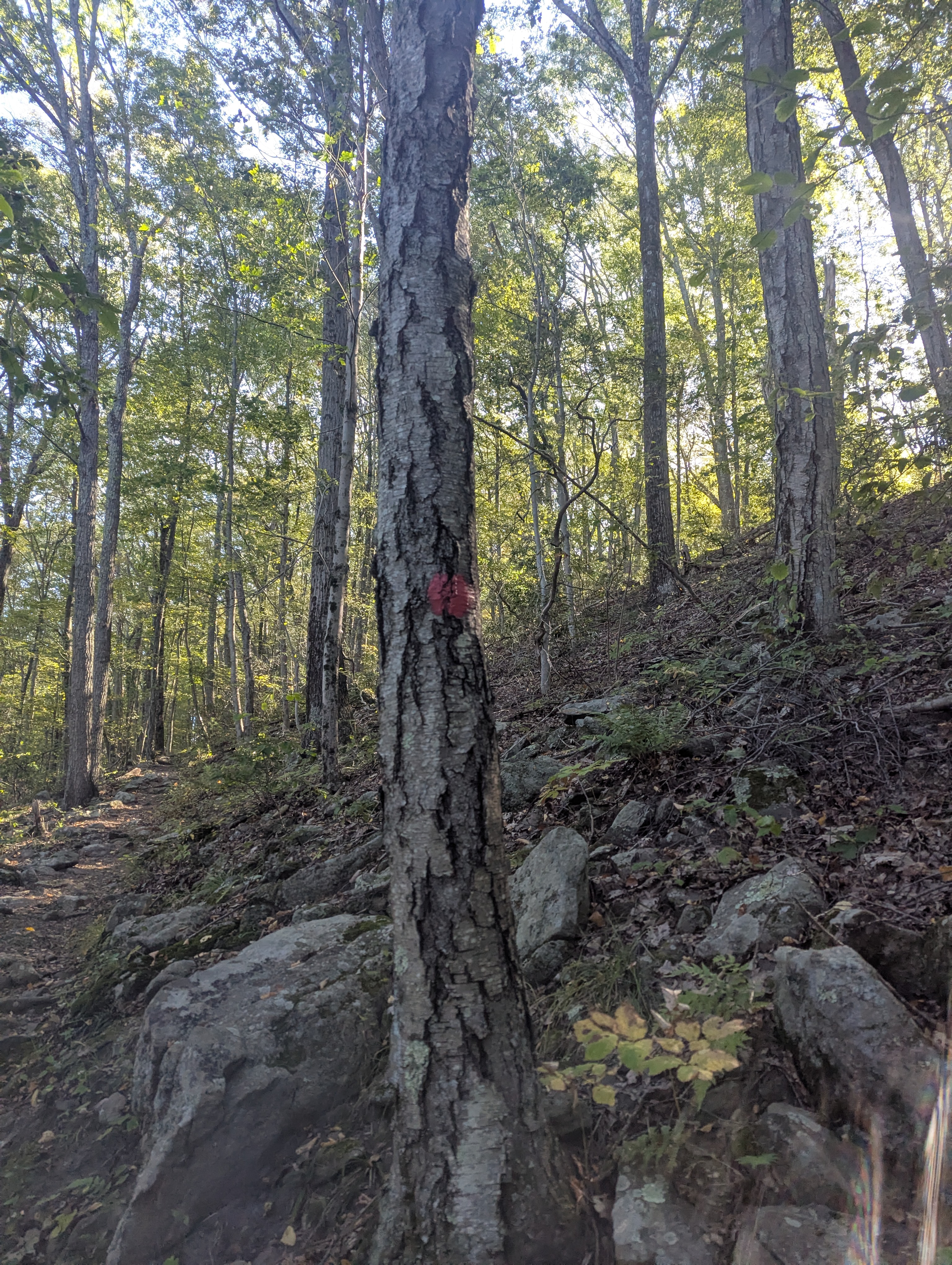
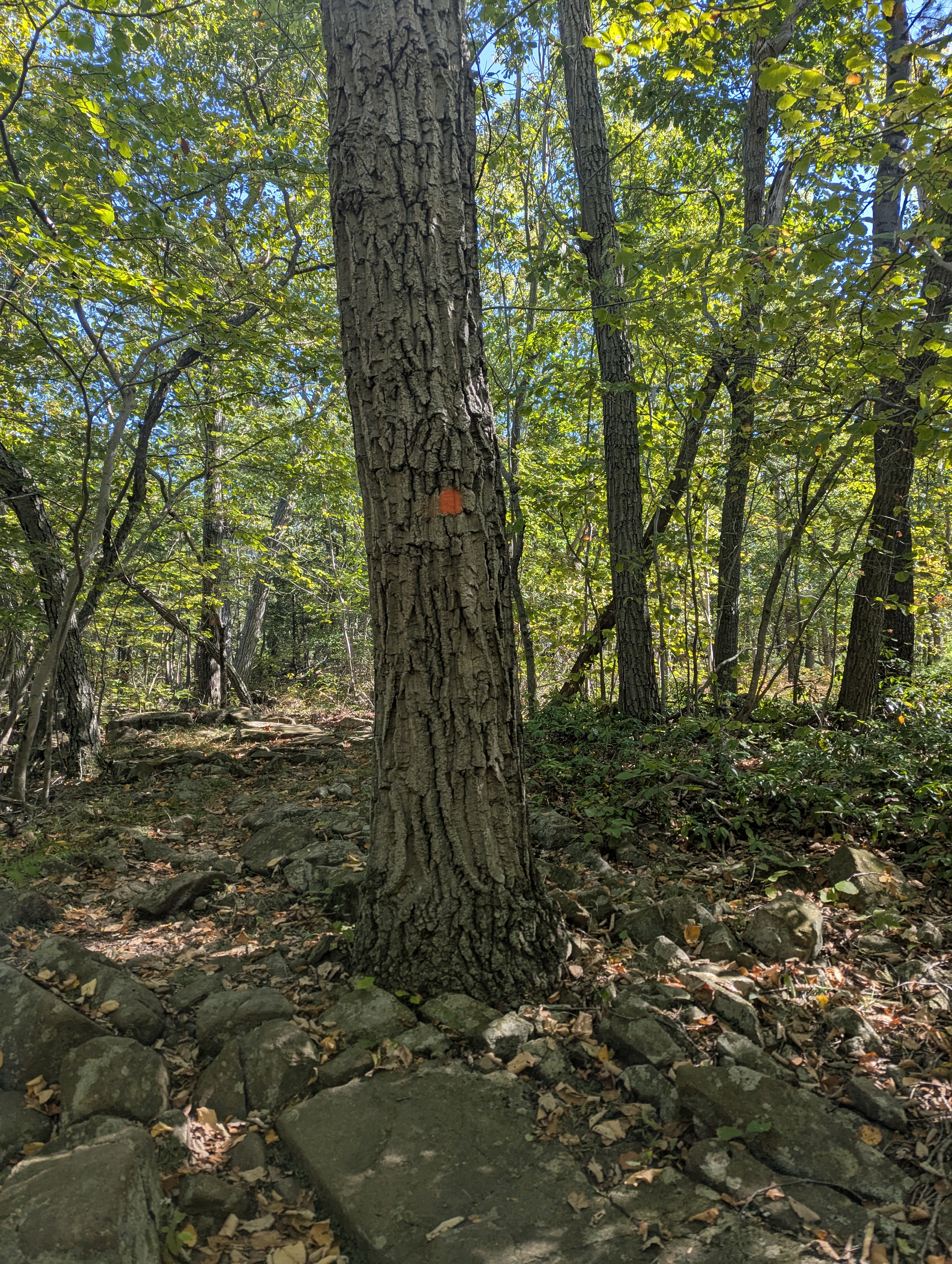
The Blue Trail is the longest and one of the most technical trails in the park. I also included some connectors here as out-and-backs.
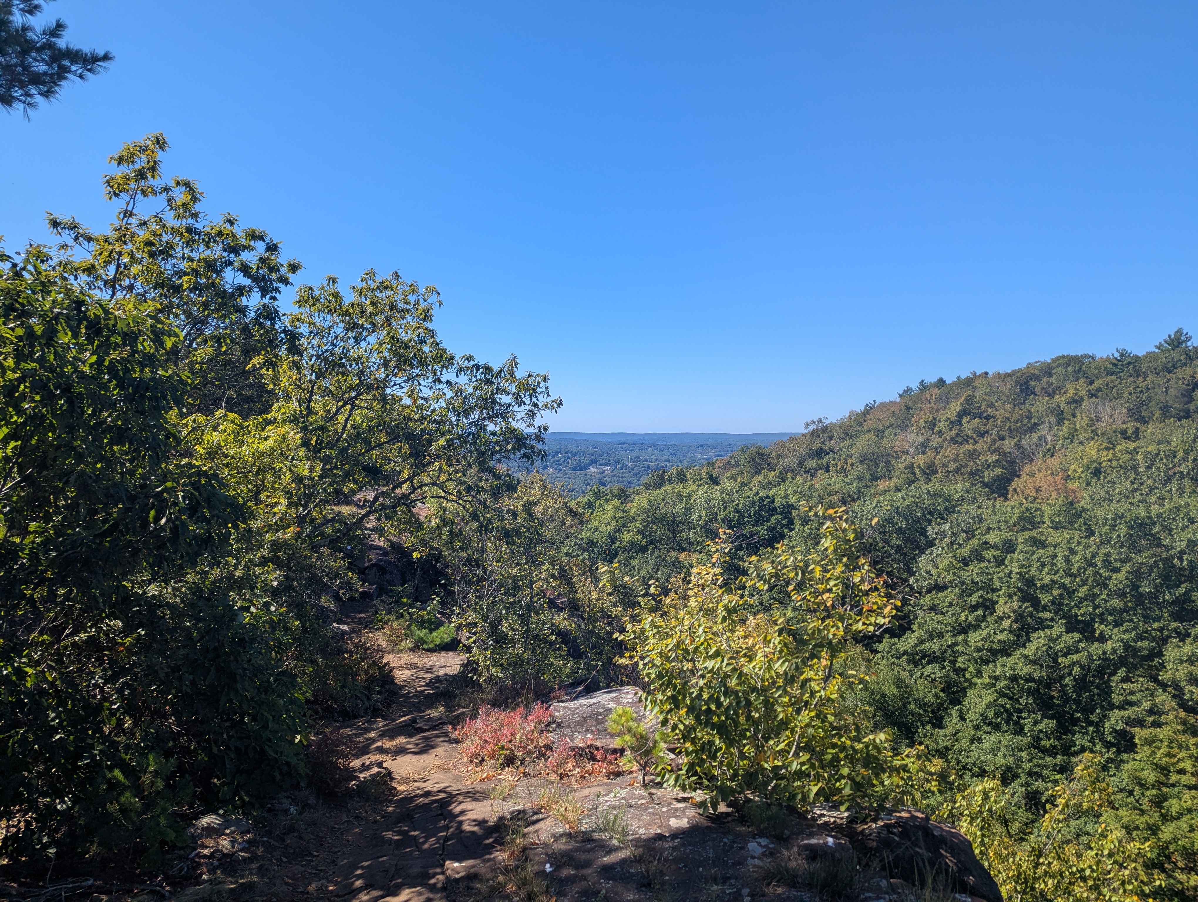
Typical Sleeping Giant Terrain on the Blue-Violet ConnectorFirst pass of the towerOne of the few "views"Blue Trail continues straight ahead
I came upon some hikers that were sitting down taking a break halfway up this rock face, and stumbled just enough to scare one of them into thinking I was about to fall on them. I told them I would make sure not to fall until I was past.
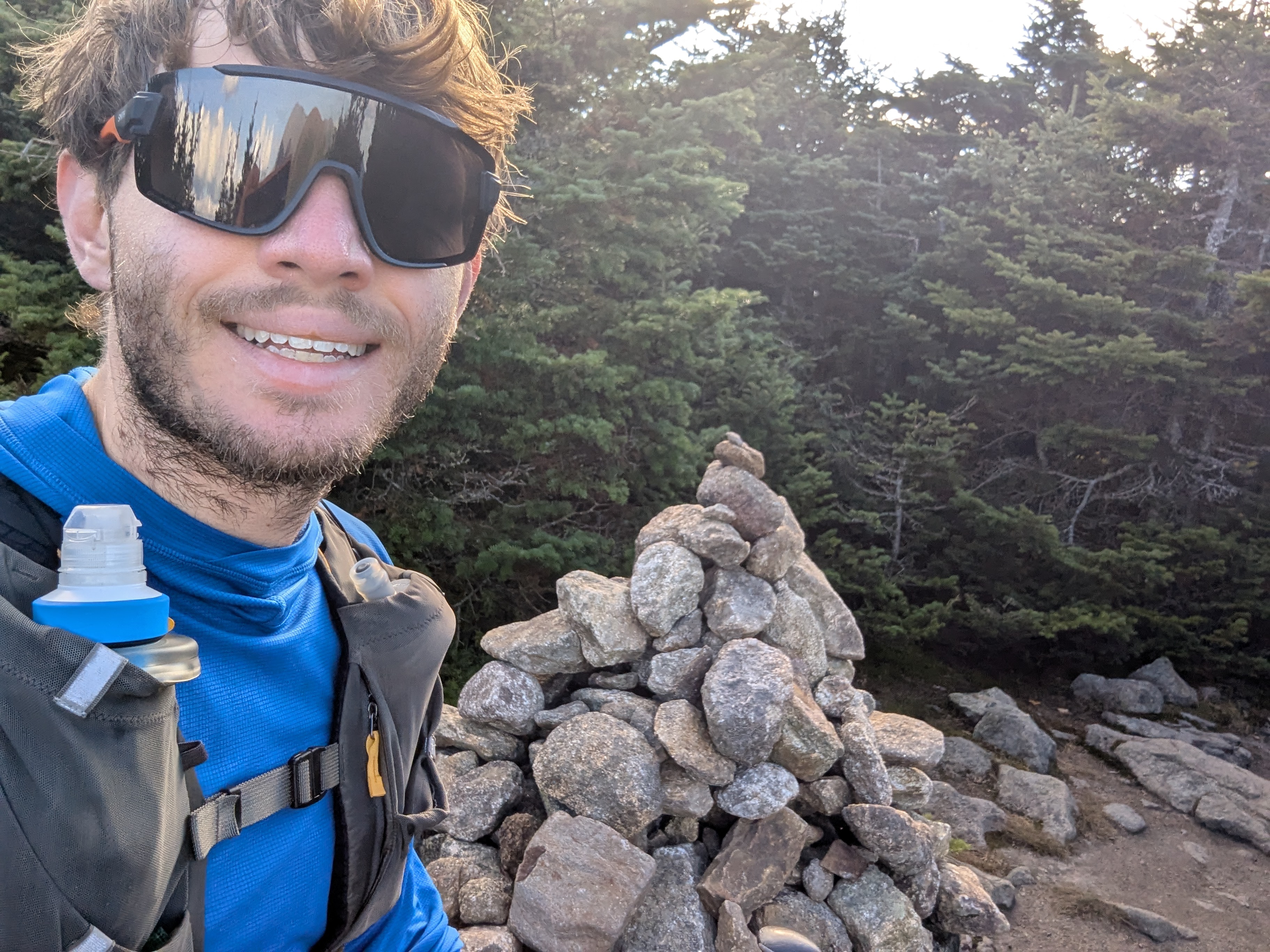
The Blue Trail ends as it started: On a road
I felt great coming off the Blue Trail, and ran back along the road to start the first half of the Red Snake.
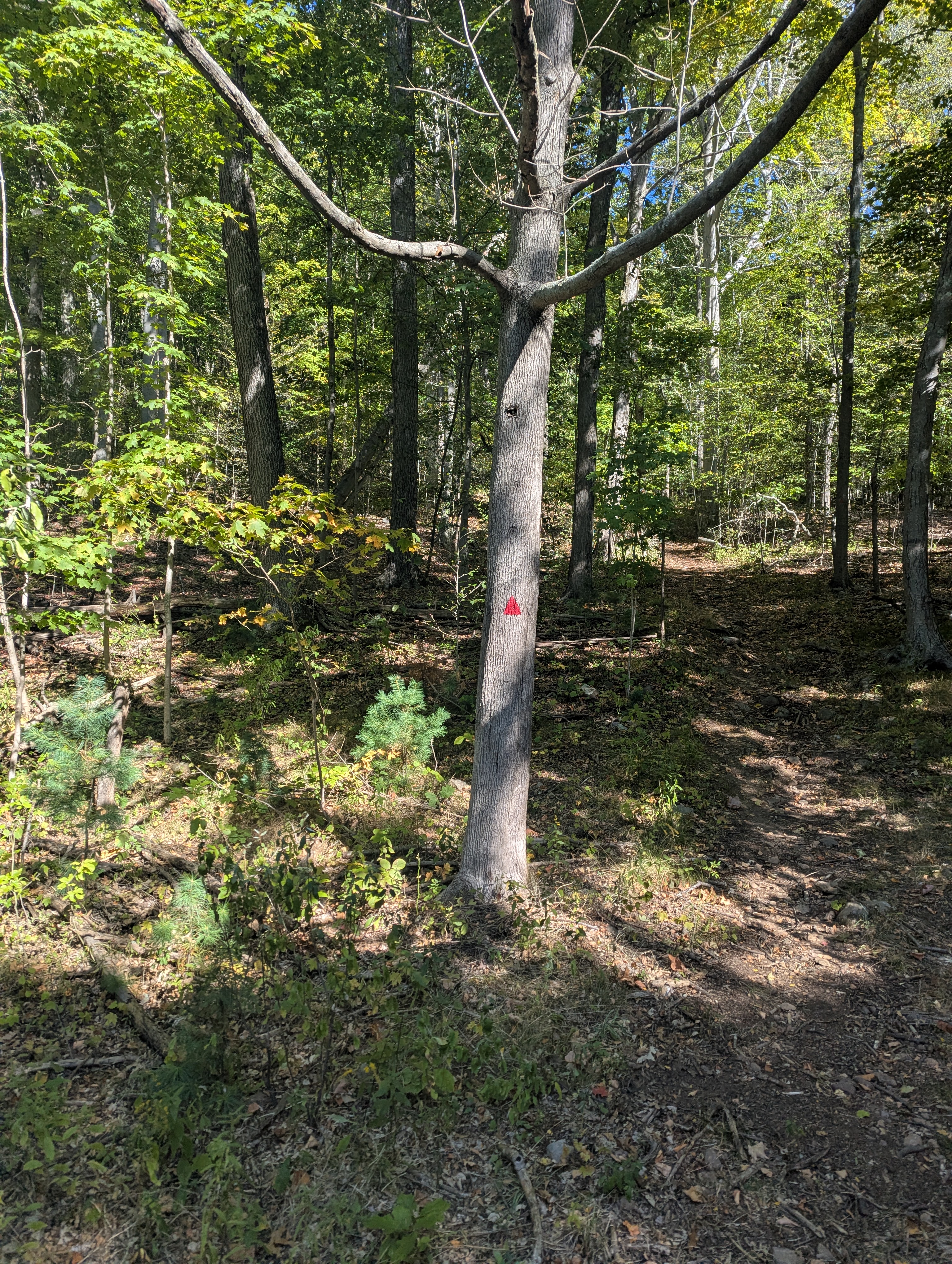
Red DiamondRed OctagonRed Triangle
At this point the route I was following does some tomfoolery to accomodate the nature trail. This was probably the route-finding crux, but I still felt fresh, especially as part of the Red Octagon shares the tower road making for a nice downhill cruise.
A bit of yellowA bit of the nature trail
Yellow to Tower Road to Nature Trail to Octagon to Tower Road… Phew! Time to start the Rainbow.
Orange
It was at this point that I 1. ran out of water and B. started to feel the effects of my too-fast starting pace. While the Orange trail isn’t terrible in terms of elevation, it certainly had me dreading my return on White.
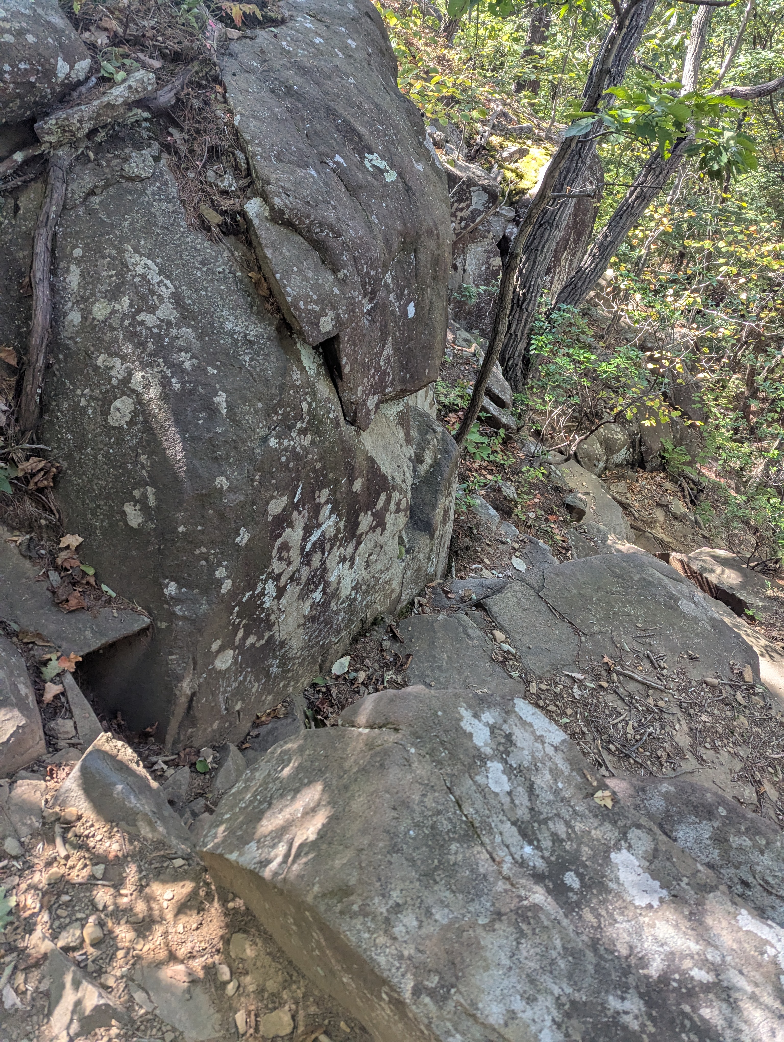
First time at Chestnut LaneMore "views". Beats the trees thoughThe White Trail contains another several scrambles
The White Trail was definitely the crux of my day, and I’m glad I did it in the first half. After finally slogging through, I stopped at the park faucet to refill my water. I drank probably close to half a liter, and dumped another half liter on my head which helped more than I expected. This refill lined up nicely halfway through the mileage, and with more than half the vert complete and the two most technical trails under my belt I felt fairly confident that the hardest part was over.
Purple
Purple and Yellow each contain one steep section, but are otherwise relatively flat with good tread.
Second time at Chestnut LaneYellow
From Yellow I reconnected with the Red Triangle and proceeded into the second half of the Snake.
Horses on the road between Triangle and Circle
The stream at the North end of the Red Circle trail was fortunately flowing enough to filter water from. I drank another quarter Liter and refilled my two empty flasks back to full. Now I was confident I had enough water to finish strong. I’m sure the hiker that passed me thought I was crazy filtering water from a stream 20 feet from the parking lot though.
Red Circle
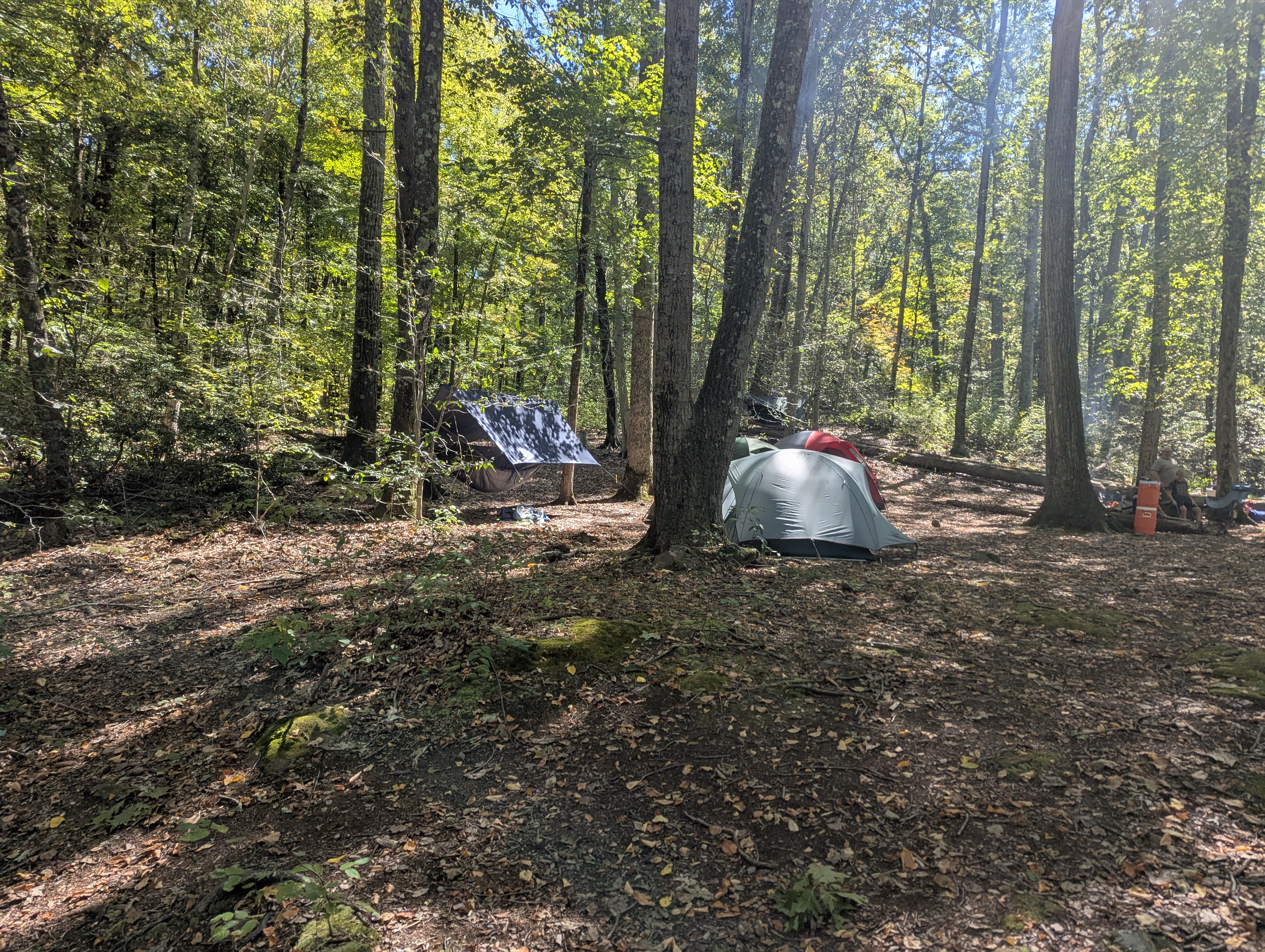
I also saw campers at the park for the first time in my life! I didn’t realize you could even camp here, but it turns out there are designated youth group camping areas.
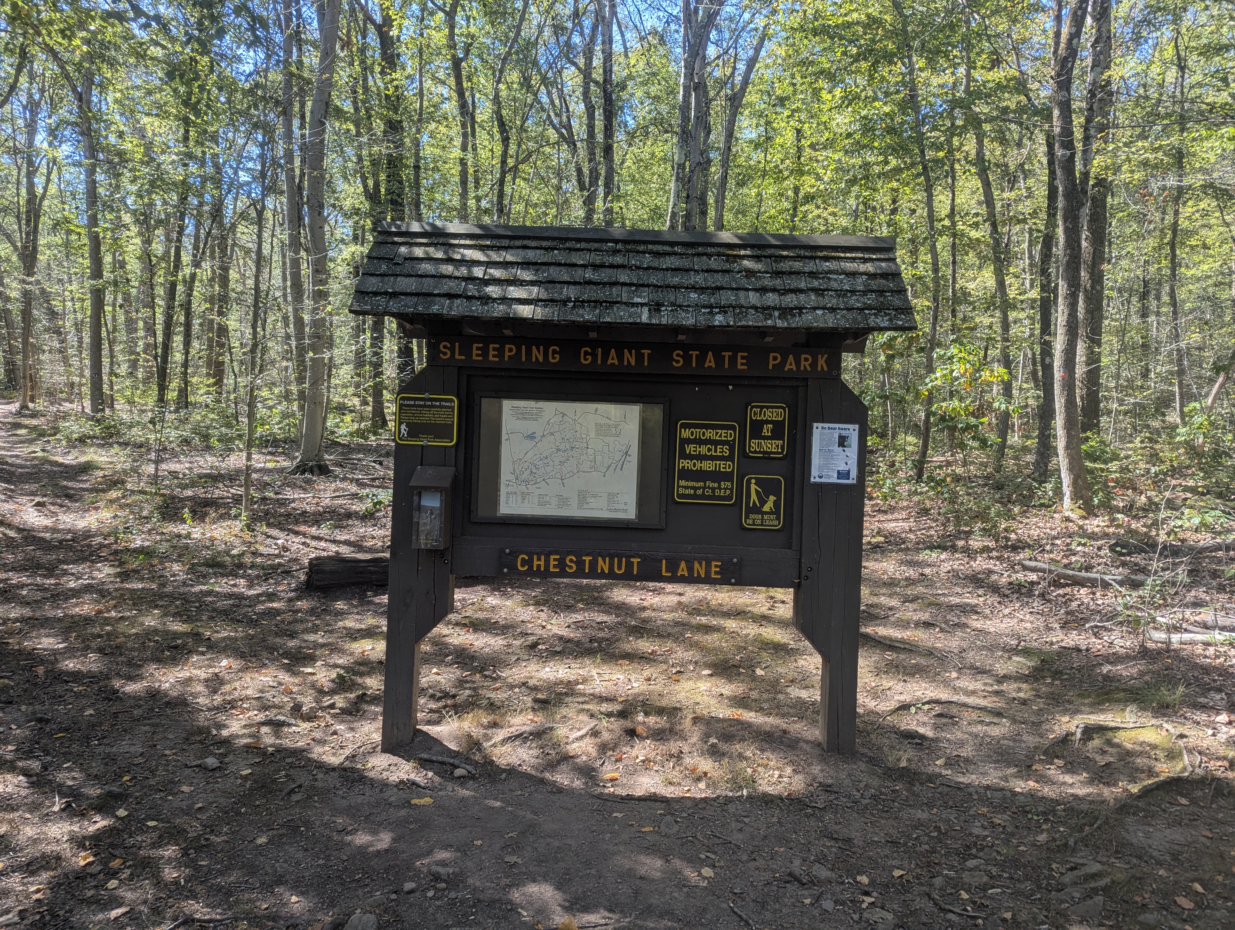
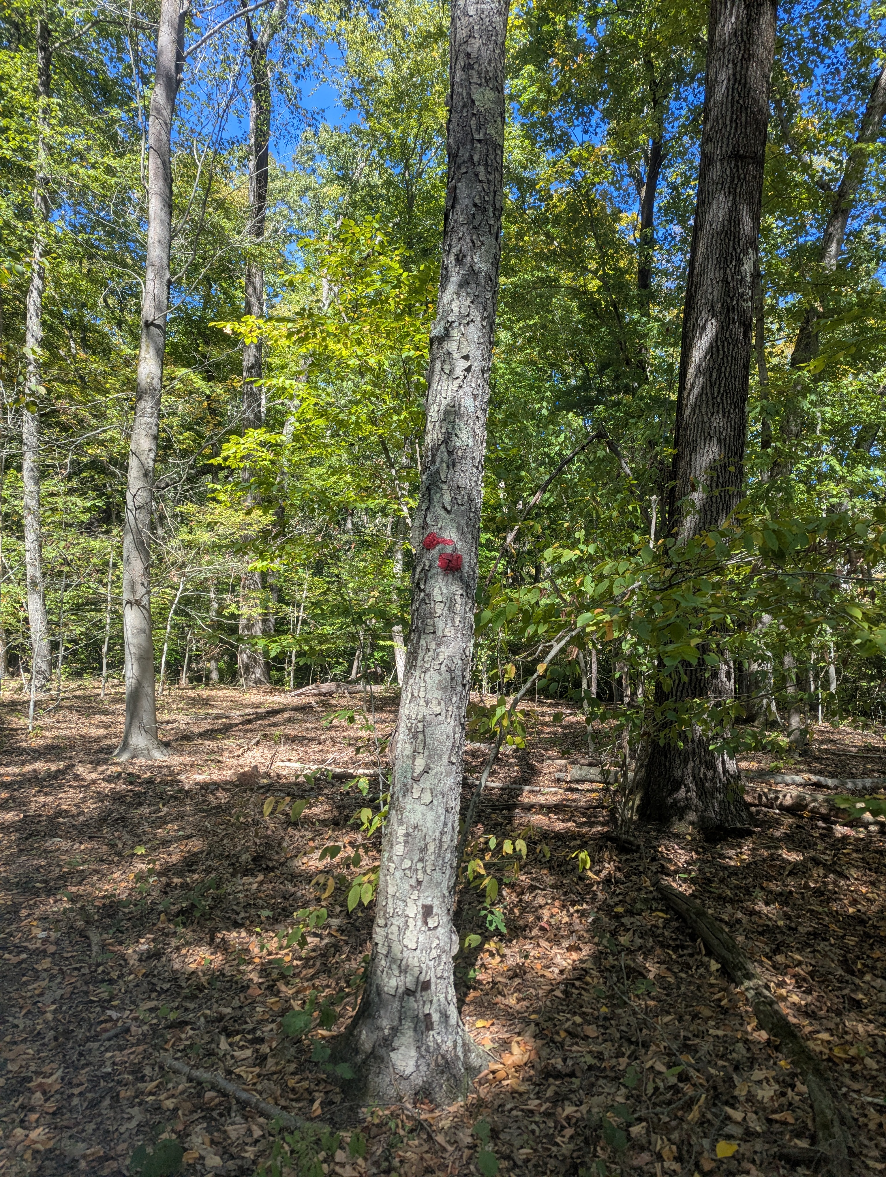
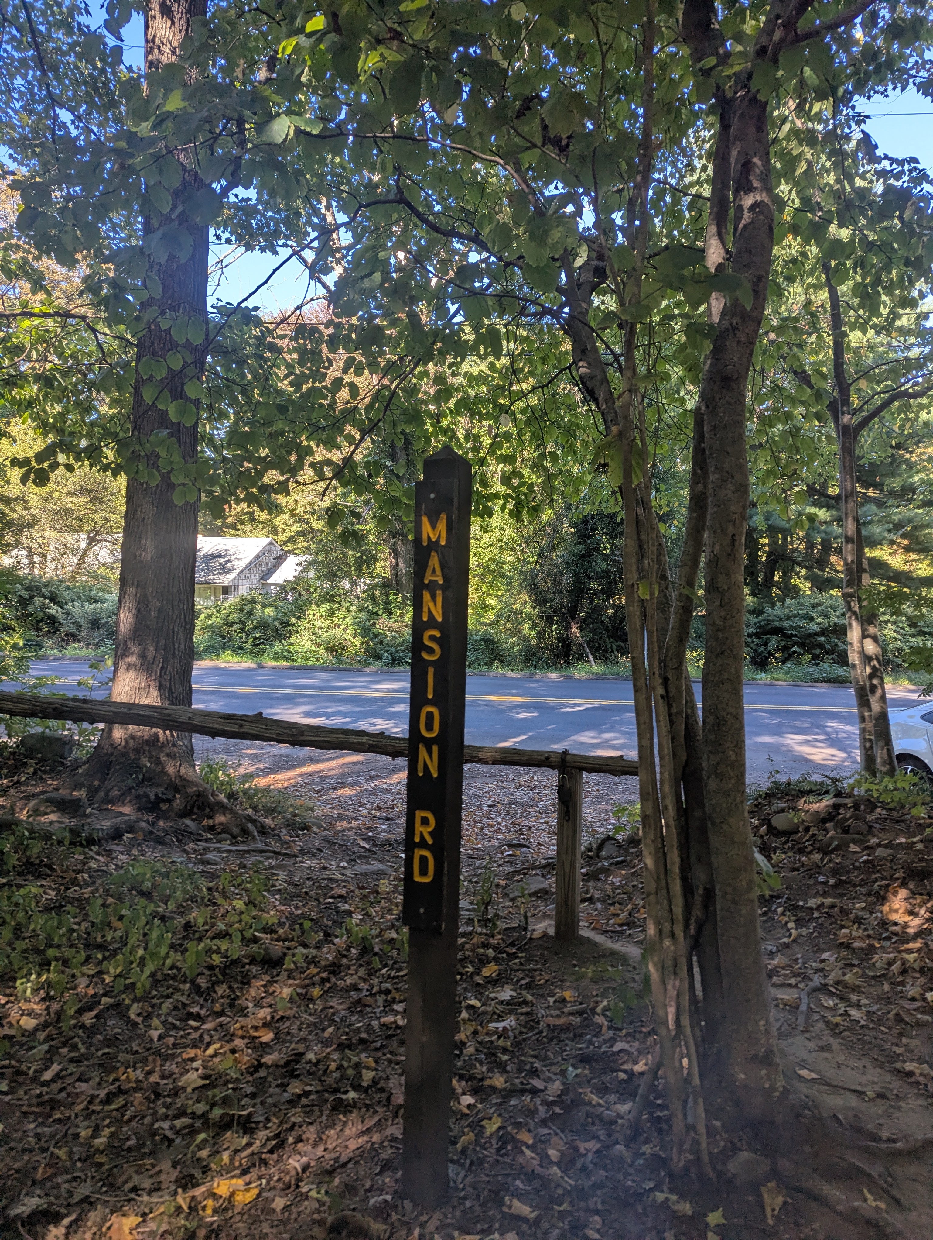
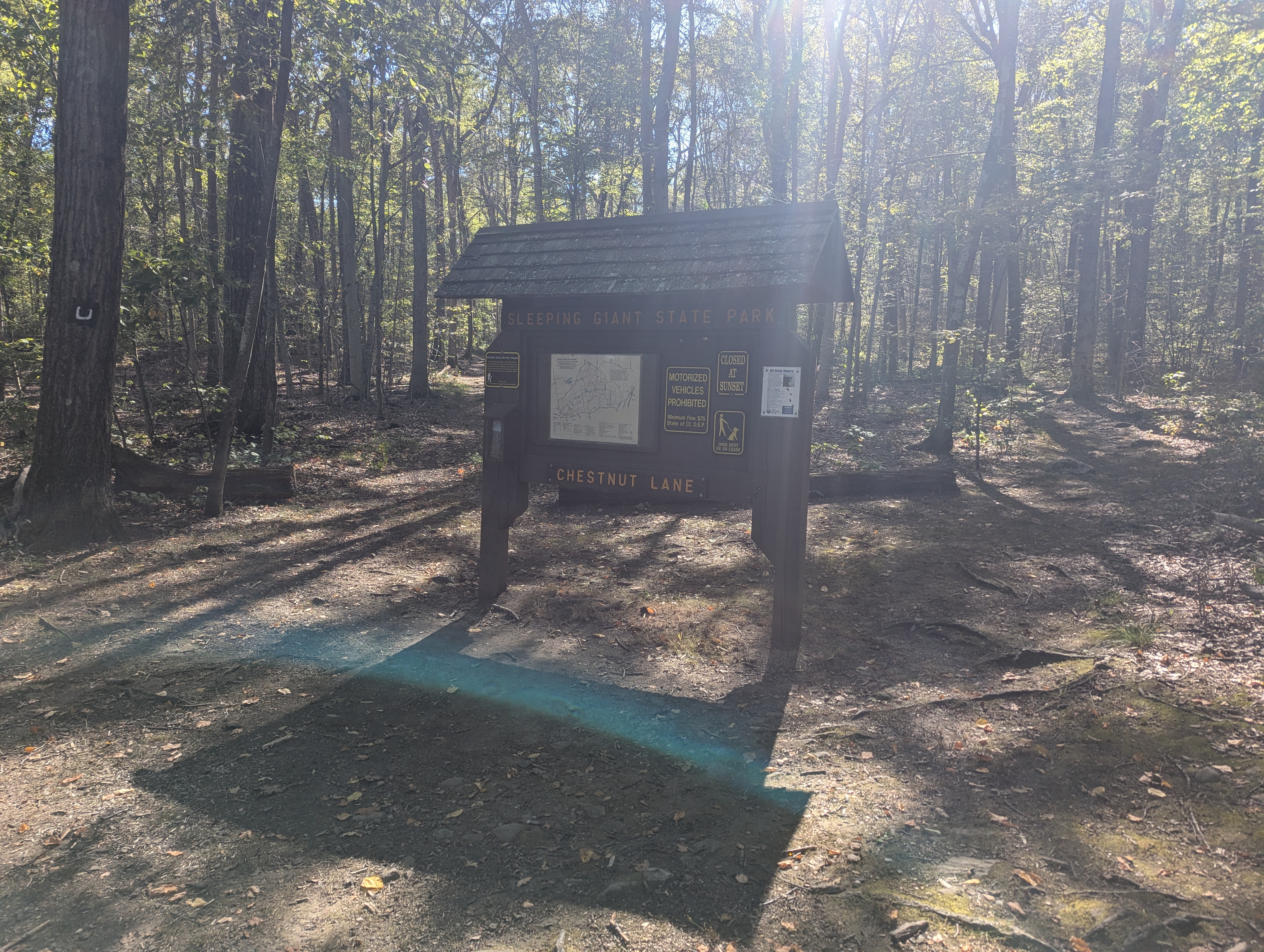
A youth group campBack on the RoadRed SquareMy one stop at Mansion Road - this is the trailhead closest to my parents' house and our usual start to any Sleeping Giant hikesThird and final time at Chestnut Lane
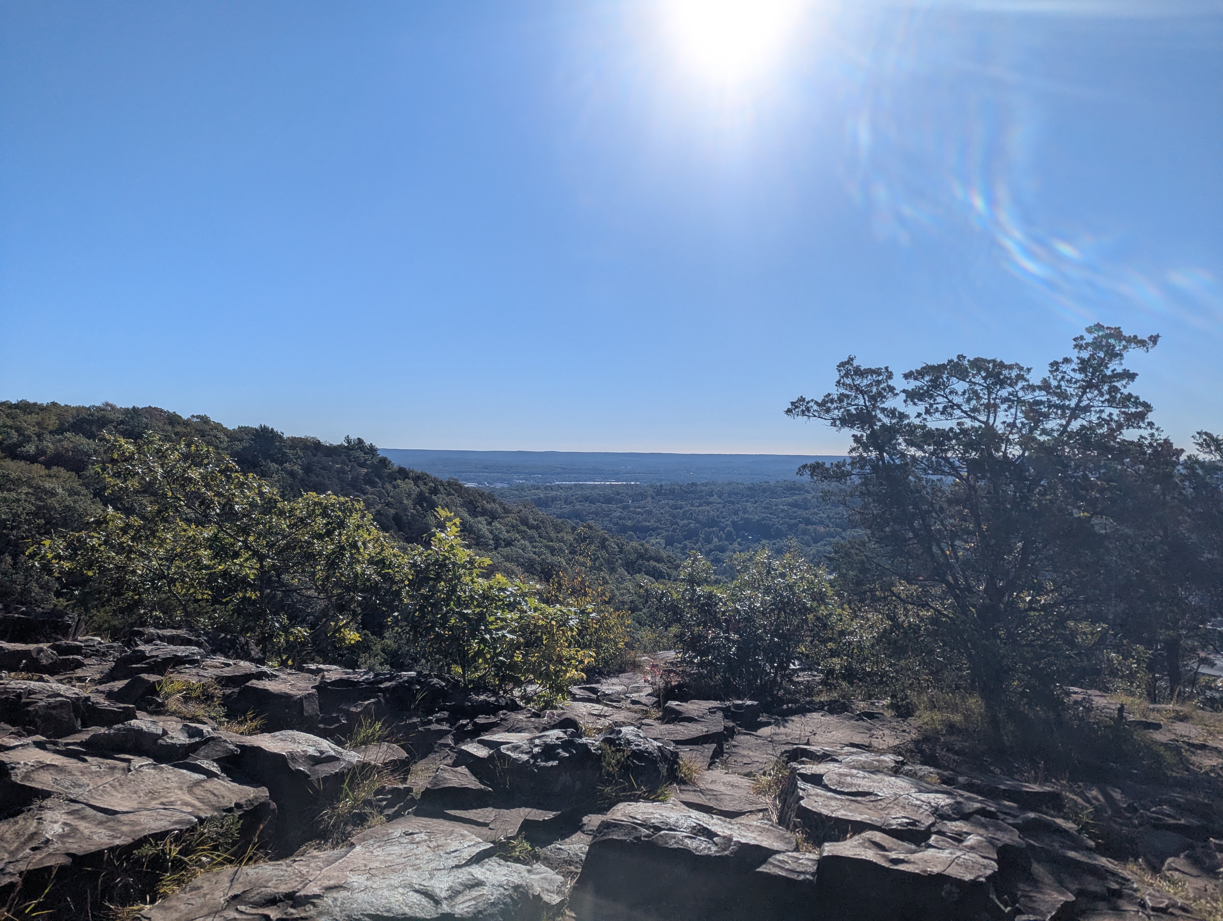
Having finished the Red Snake and with only the Green Trail to round out the Rainbow I was a little concerned that my watch was only at 24 miles - would I even hit the 30 I thought I’d get?
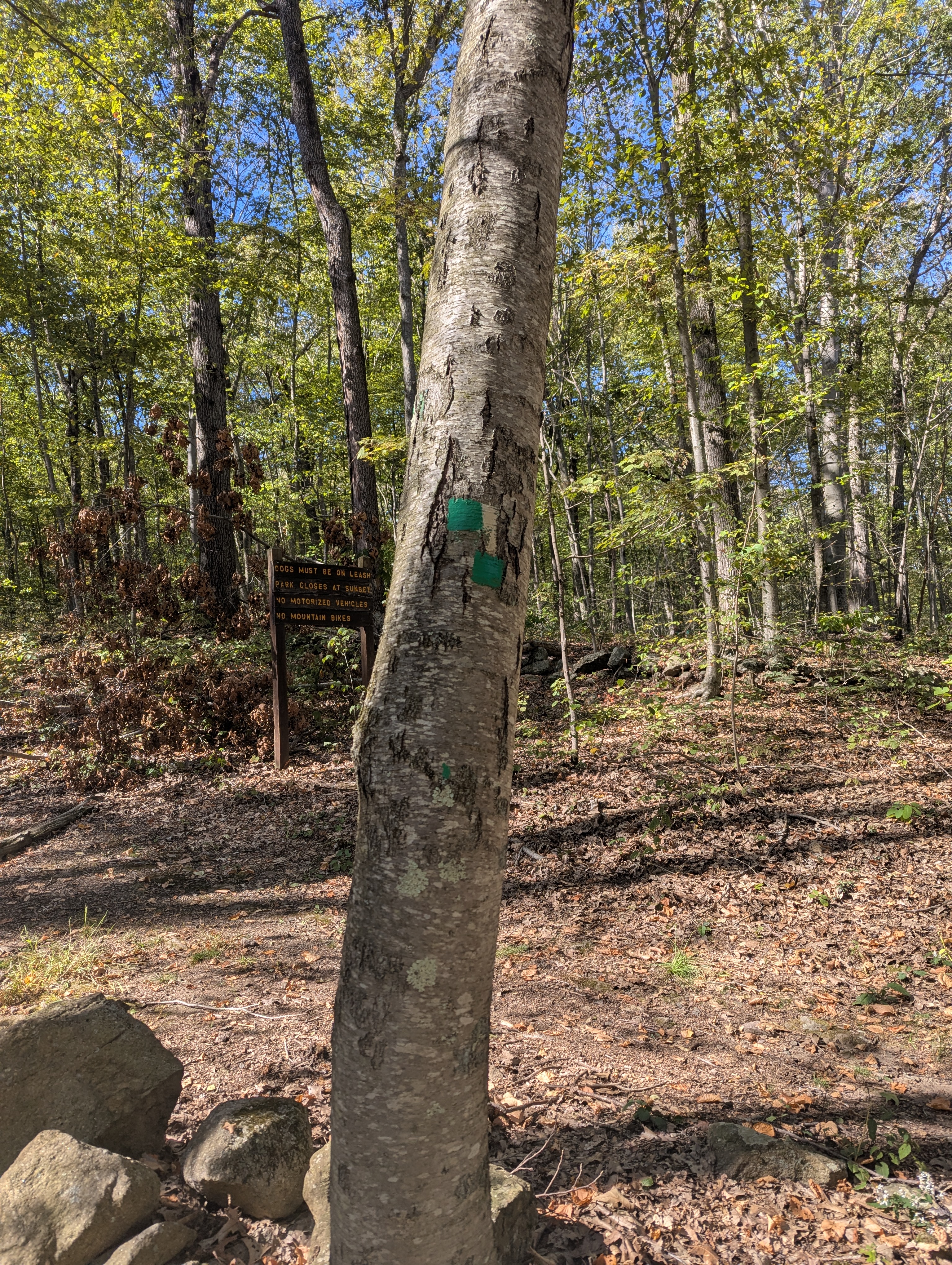
Green - Trying to find these blazes closer to sunset SUCKS, fortunately I still had light
It turns out the yellow-green connectors are… Longer than I thought
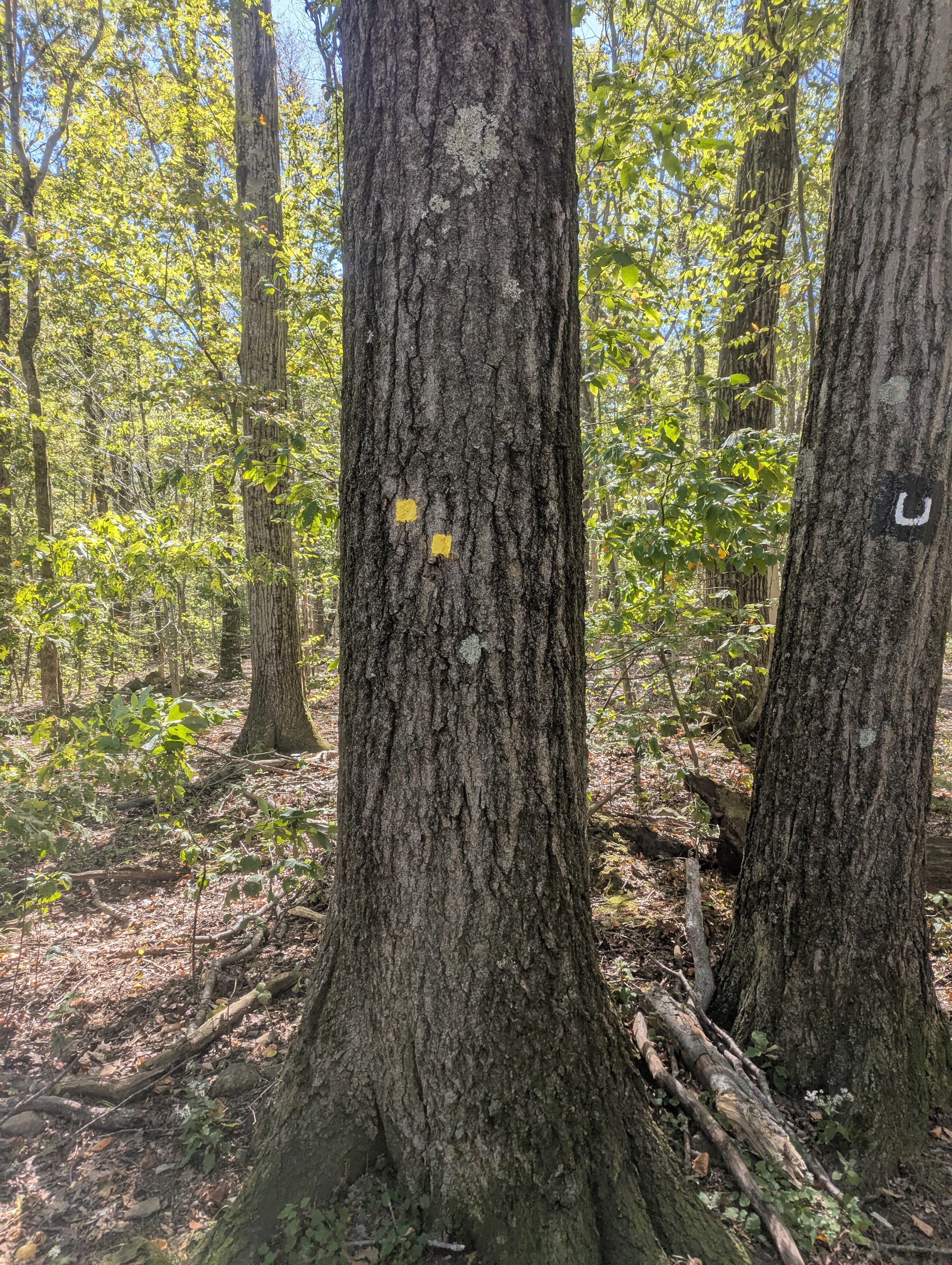
The two Yellow-Green connectors. I'm not sure if the color on top differentiates the two connectors or is meant to indicate which trail you're heading towardsOne last "view" from where Green rejoins WhiteOne Last Connector
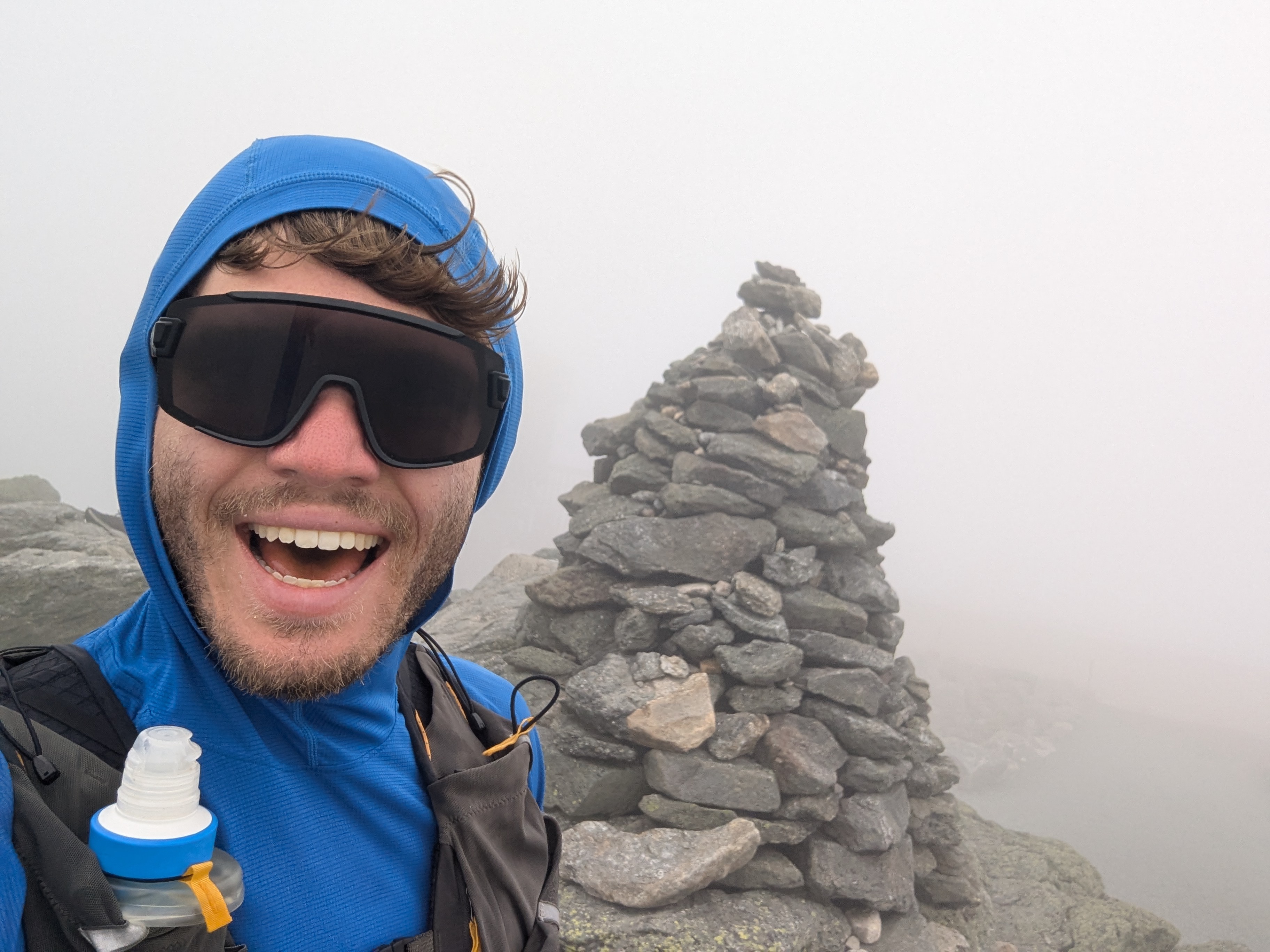
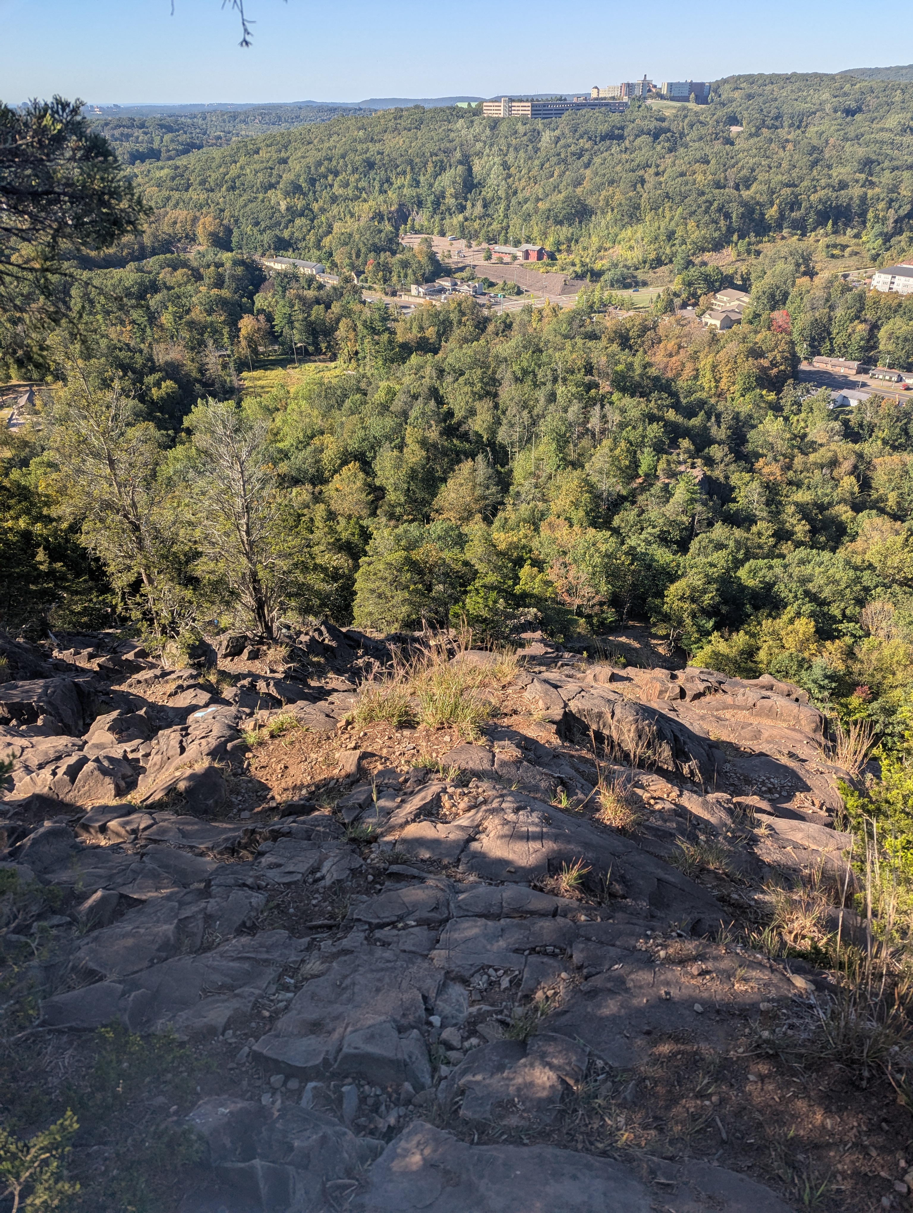
And just like that I was back at the tower 24 miles after the first time past it, and with one mile left on the day overall.
This view seems familiar...
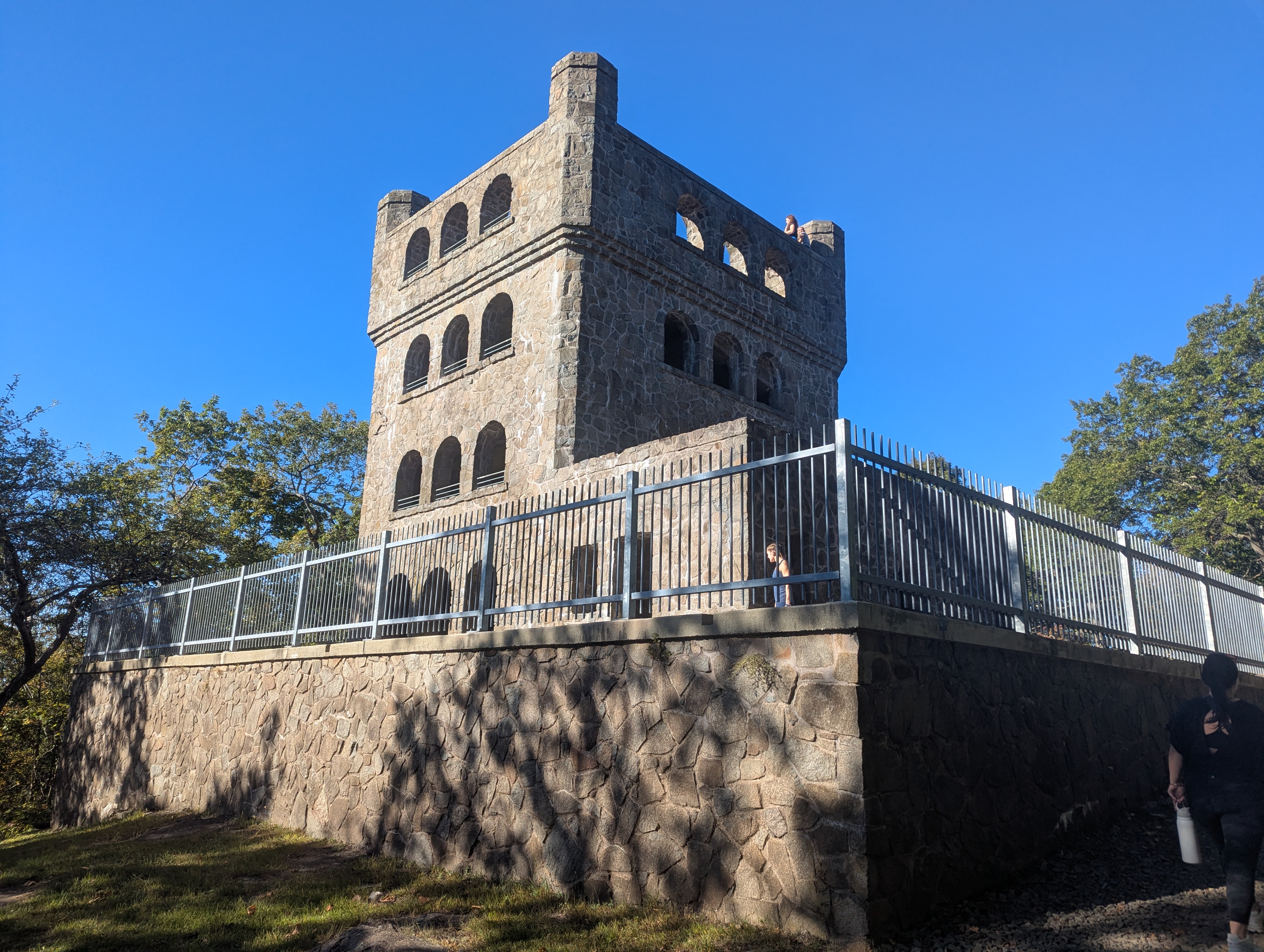
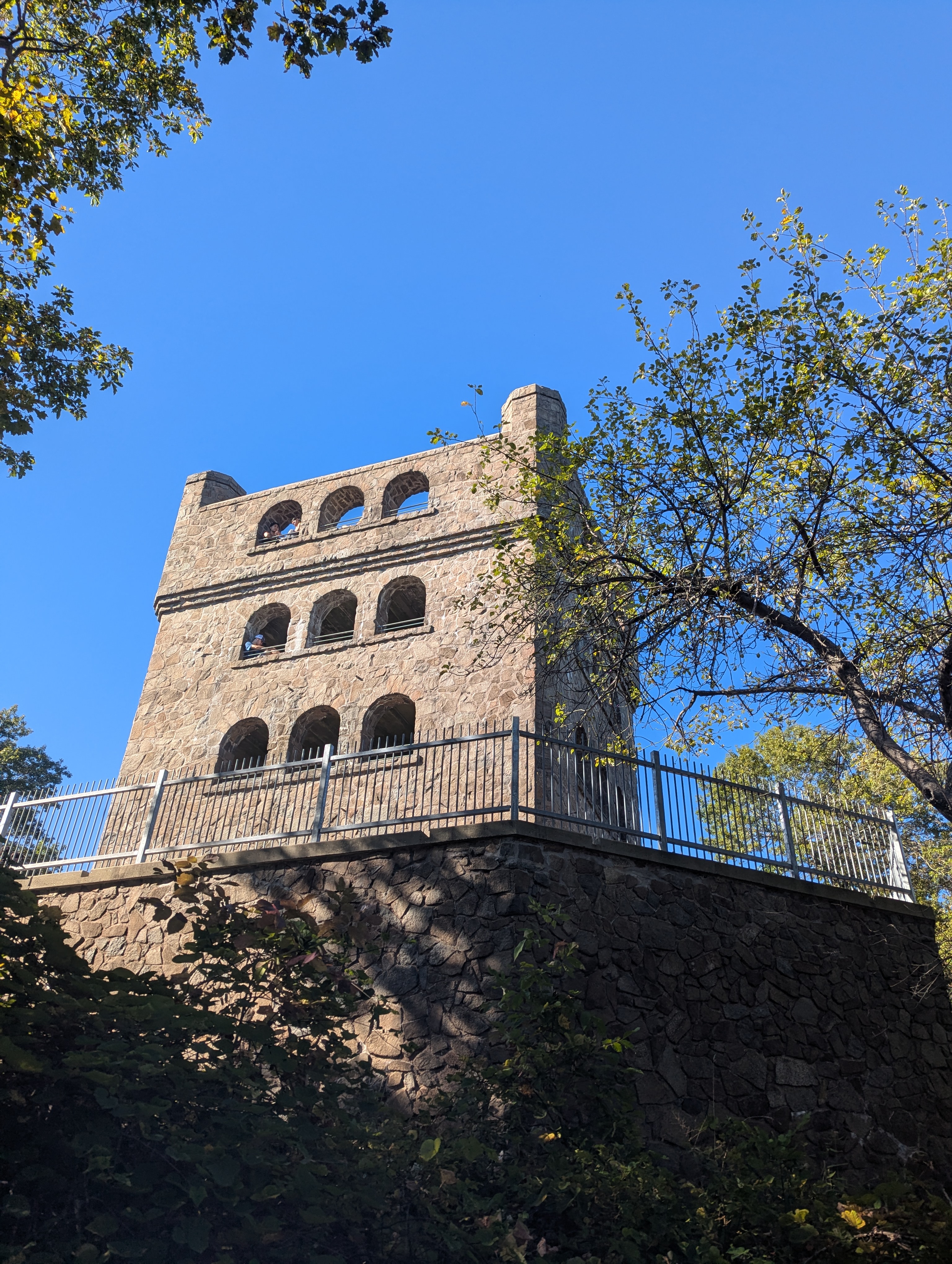
Climbing the tower is not required by the SGPA, and none of the routes I looked at included it; but I hadn’t been up in years and had skipped it on all of my training runs. I knew I’d cruise down the tower road and decided I could probably make it up and still keep the whole thing under eight hours.
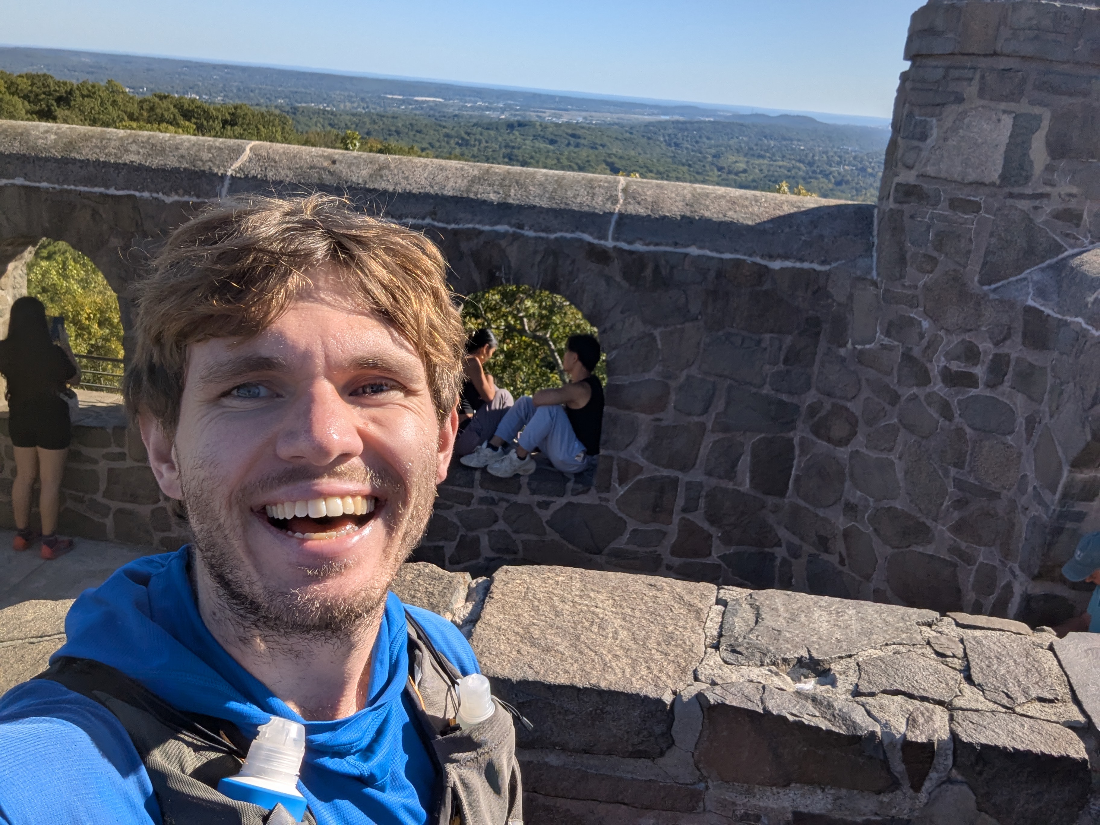
Obligatory Tower Selfie
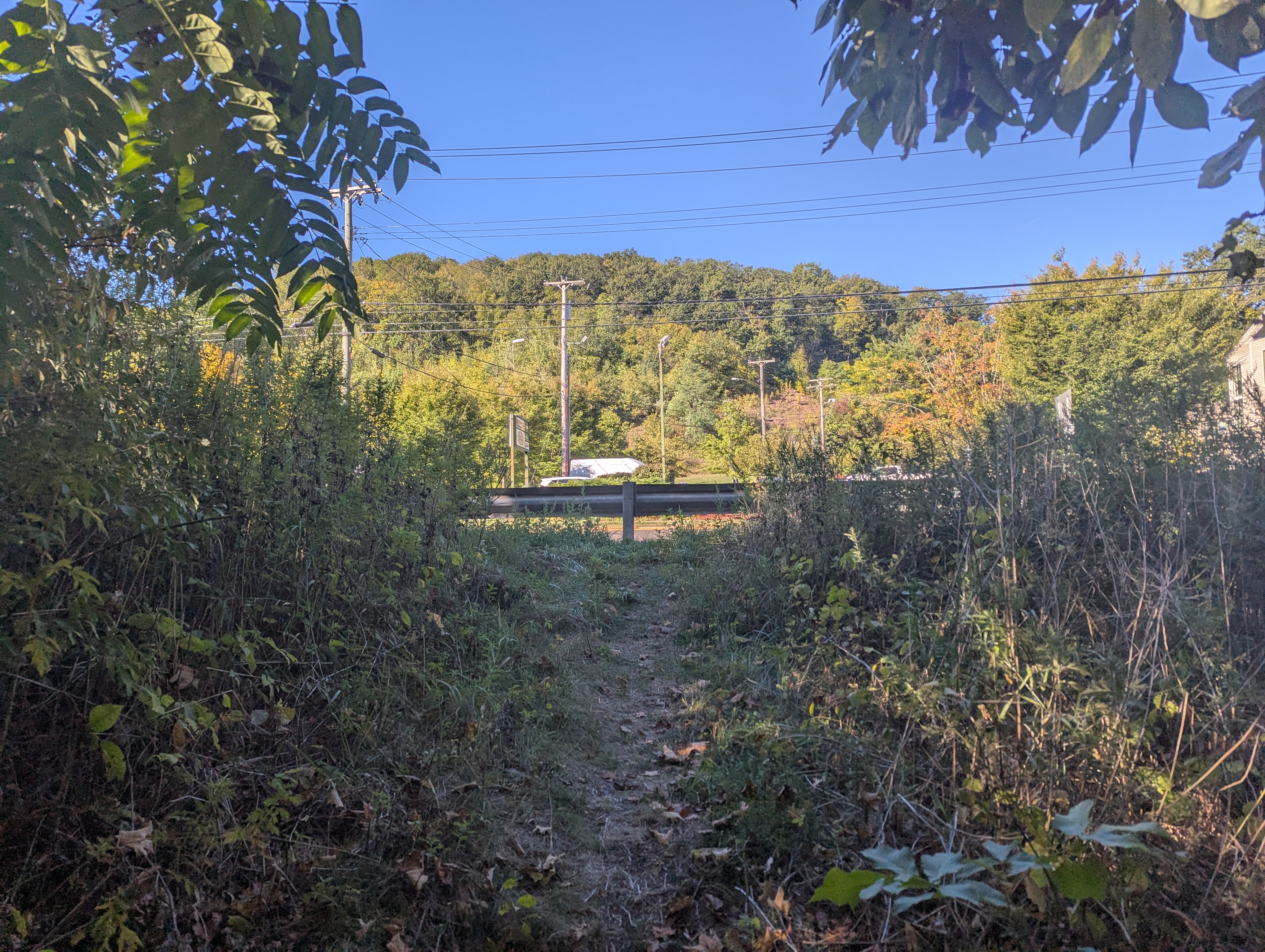
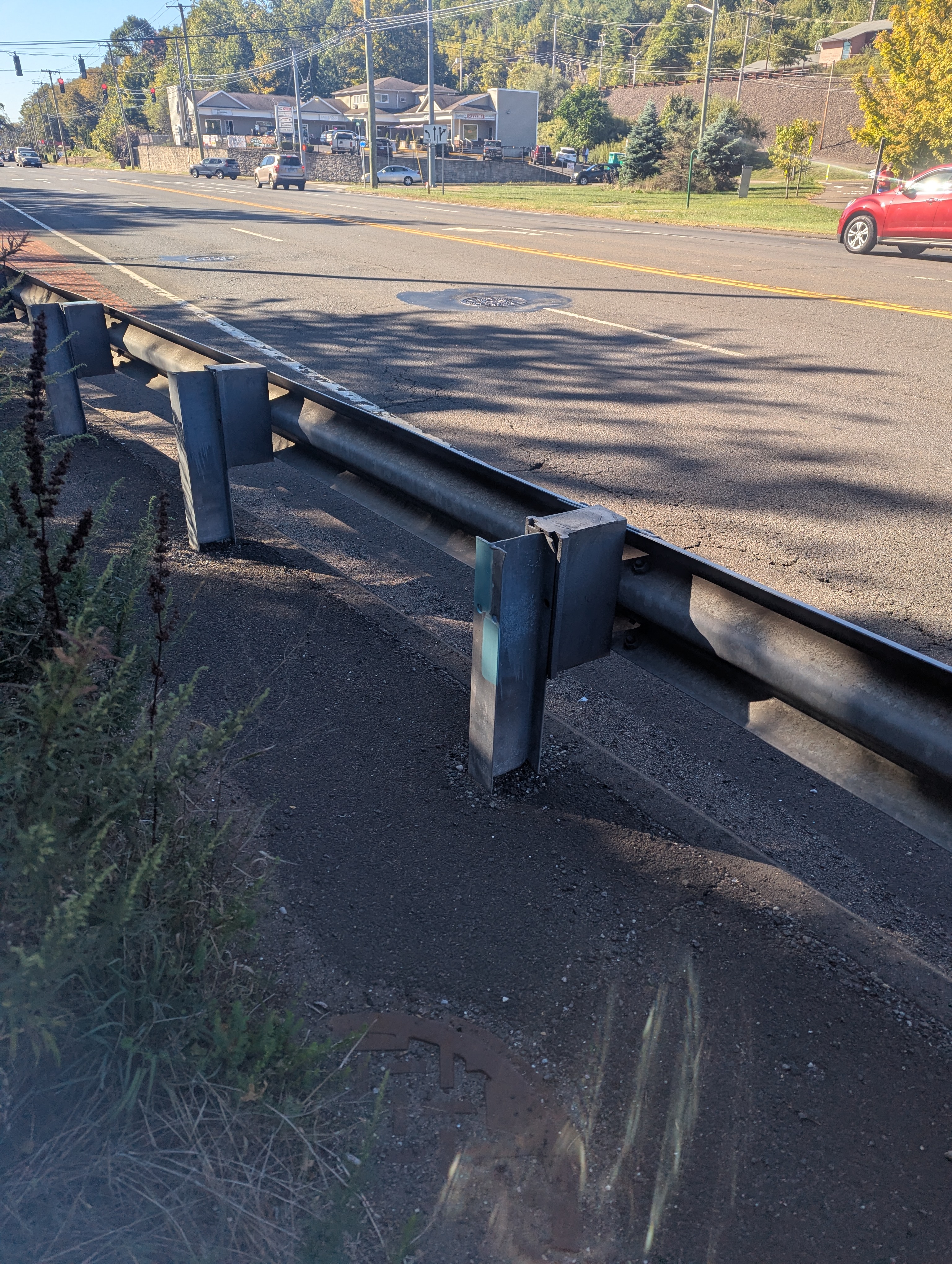
I flew down the wide, gentle gravel road for an 8:37 last full mile, a nice reprieve after all the trails.
Unfortunately, I still had a tiny segment of the Nature Trail left to cover! The true finish was at a random intersection back in the woods, leaving me tripping over rocks worrying I’d go over my (arbitrary) goal of eight hours and hoping I didn’t miss the turn. I turned out that tiny segment was almost another half mile, but I made it to the end for a total time of 7:53:18.
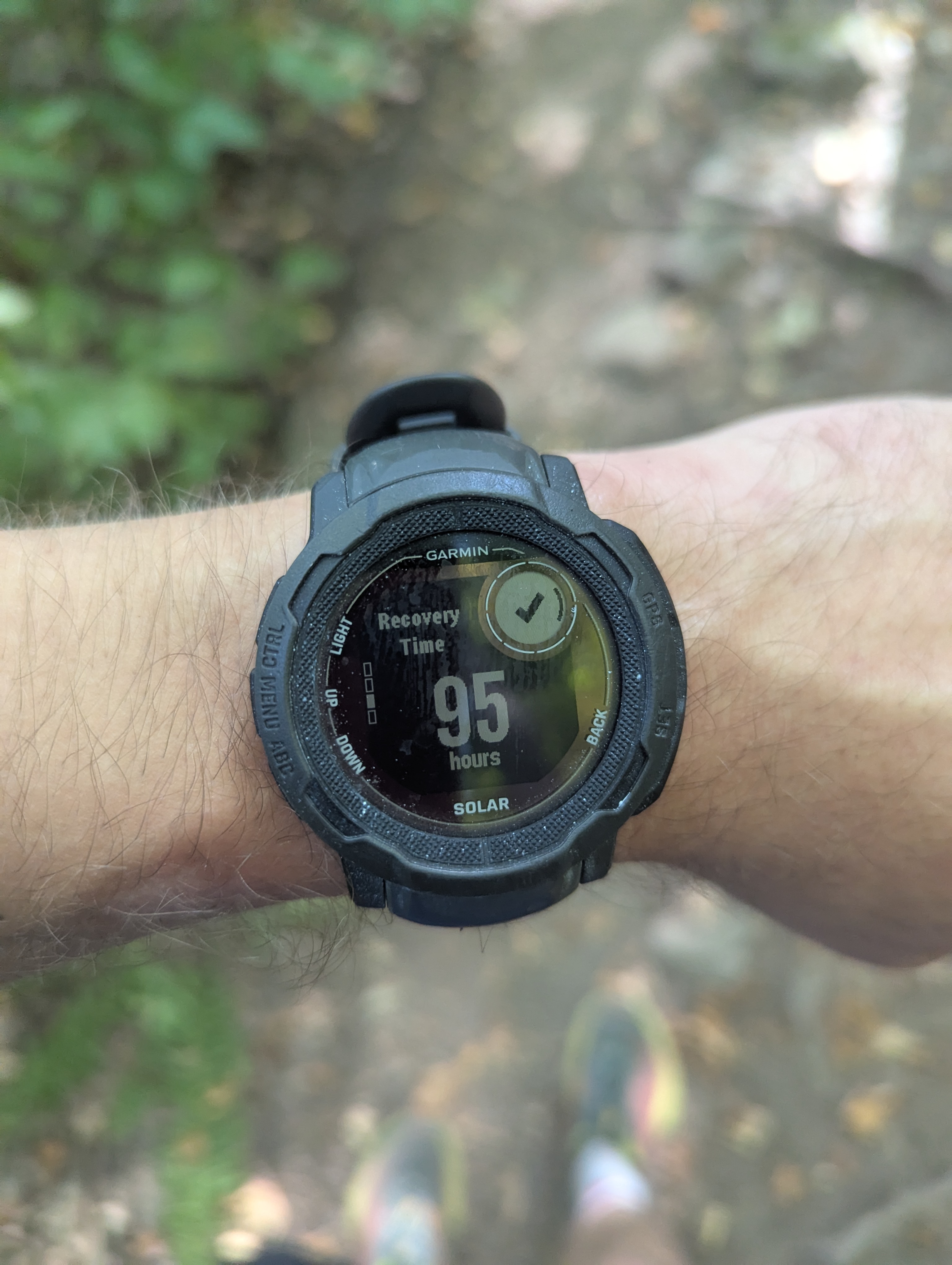
Emotions (or lack thereof) after completing the run - and a new record for recovery time
Now to walk out of the woods, go pick up my bike (it was still there undisturbed) and head back to my parents’ for a hot tub and a steak dinner 😍
Analysis
Don't make fun of me
I like reading athletes' recaps of their efforts, so I'm writing something similar. I don't expect this to be particularly interesting or informative to most, and I'm acknowledging that here so you can't bully me about it
Overall I’m quite pleased with this effort. The two big takeaways are to pace myself better at the start and ensure adequate water capacity:
Running
Pros:
Finished the thing
Legs felt pretty good
Enough energy left at the end to climb the tower and cruise down the road for an 8:37 mile.
Cons:
Definitely went out too fast - I was only 10 minutes behind the FKT at mile 7 (I initially toyed with choosing between two different routes based off my time at this spot, I have not compared any of my other splits). I didn’t wear a chest HRM, and brushed off my watch’s 171 HR in Mile 1 as simply inaccurate - while it probably was inaccurate, it nevertheless should have warned me that I was overdoing it. This, combined with nutrition/hydration issues made the end of the first half quite the struggle before I managed to recover a bit
I probably could have gone faster overall? I expected to feel a lot more drained after this effort, and have felt worse after shorter (albeit higher-elevation-gain) things in the past; which makes me think I wasn’t pushing quite hard enough. Not sure if that’s mental or physical, I certainly have been focusing far more on endurance in my training than any sort of speed/intensity work
While I think I chose a fairly efficient route overall, and am glad I picked the one with the White Trail earlier than the others, my chosen route…
Did not account for water refills. I only passed the Spigot once, and while I hit the main parking lot a second time, it was even earlier in the run and on the other side of the lot from the spigot.
Finished at a random intersection in the trees, leaving me with a chaotic last half mile and a mandatory walk out, rather than a celebratory finish straight down the tower road.
Nutrition/Hydration
I had my semi-usual breakfast (Greek Yogurt, Oats, Granola, Blueberries) ~1hour before starting.
During the run I ate:
Item
Calories
Carbs
215 g Nerds Gummy Clusters
716 cal
179 g
4 Nature’s Bakery bars
800 cal
152 g
2 Hammer gels
180 cal
44 g
That brings me to about 200cal (47g carbs) per hour, which is lower than seems to be recommended. The Gummy Clusters were excellent. I had trouble getting the third and fourth bars down, especially while low on water, and wish I had packed more gels to replace them with. For future runs I will likely pack more Nerds (I finished everything I brought and could have had more), more Gels (so I can hit at least 60g carbs/hour), and fewer bars. I do like the bars where possible since they’re relatively cheap and incorporate a few more nutrients than the pure sugar. My main opposition to gels is the amount of waste and the cost, I plan on experimenting with making my own via this recipe from a friend of a friend.
I also had
~4.5L Water - I don’t have a super accurate measure here due to drinking extra when I filled
11 SaltStick Electrolyte Capsules (1 every 45 minutes, and 1 extra around halfway)
25mg Caffeine - one of the two Hammer Gels. I don’t drink coffee or tea, so my caffeine tolerance/threshold is likely lower than average.
I did not drink enough water in the first half of the run. Sleeping Giant only has one spigot, and I neglected to account for refills in my route planning, meaning I was carrying only 1.5L of capacity and only had one opportunity to refill. Fortunately I found enough water in an often-dry stream at the other end of the park to refill once more in the second half, I think without this I would have had a far worse time. I think my dehydration towards the end of the first half made me significantly slower, and made it a lot harder to keep eating the bars.
Because I was dehydrated prior to my refill, I then chugged water at the refill station which led to slight stomach pain and slowness for the next few miles before I recovered. I plan on doing some sweat rate testing (just weighing myself before and after runs) to get a better idea of how much water I need, but it’s probably more than the ~560mL/hour I consumed.
Gear
Pretty much everything was good here:
Shoes: Hoka Speedgoat 5 Wide - been using this model for almost two years now, I get the slightest blister on my right pinky toe but everything else is great
Shorts: lululemon Pace Breaker 5” unlined - newest piece of gear for me and I love them - short, light, with hand pockets for my phone/wallet/keys before and after the run and a zipper pocket that can hold my phone on shorter runs. For this run I used the zipper pocket to stash my empty soft flask once swapping to the third flask
Underwear: Underarmour BoxerJock - Not quite compression shorts, but close enough to prevent chafing - I use the “charged cotton” version of these for the everday and the synthetic for long runs and the cut works for me
Sun Hoodie: Outdoor Research Echo: Light, comfy, with thumb loops. This is the lightest sun hoodie from the major brands as far as I know and I’ve used it for a few years. I will say my Black Diamond one sometimes feels cooler even though the fabric is slightly thicker than the OR.
Pack: REI Swiftland TT - the old version. I got this on sale for like $60 including the soft flasks and it’s great for the price. I do wish the “zipper phone pocket” would actually fit my phone, I use it for trash instead. Comfy enough and carries what I need
Watch: Garmin Instinct 2 Solar - Longest battery life of the mid-range watches without spending twice as much for a fenix or enduro. The only time this has given me trouble was when I started a 4 hour run with 2 hours of battery left, which led to a pretty glitchy track by the end. I made sure to charge it the night before and it worked great.
Upgrades I’m making:
Buying a 1.5L Reservoir - I only own a 3L bladder which is too large for the pack, so I just took an extra 500mL soft flask (total of 3 flasks for 1.5L). As mentioned above, I really could have used at least another .5L, and a smaller lighter bladder that fits my pack is a no-brainer
Buying a 150mL Soft Flask for Gels - I skimped on gels due to cost and packaging waste and regretted that decision. Making my own gels solves the first issue, putting them in a reusable soft flask solves the second.
I didn’t bring poles on this one because I hadn’t been training with them and the poles I own are quite heavy. I do plan on doing some test runs with and without poles for a comparison, and maybe asking for a nice pair of Leki TrailSharks for Christmas.
I also did not bring sunglasses or apply sunscreen because the vast majority of the run was in the trees. I threw my hood up the few times in was in the sun for longer and it worked out just fine.
That’s pretty much it! I had a good time, am proud of my performance, and learned some valuable lessons for the future runs I have planned where bailouts and cell service are not as readily available.
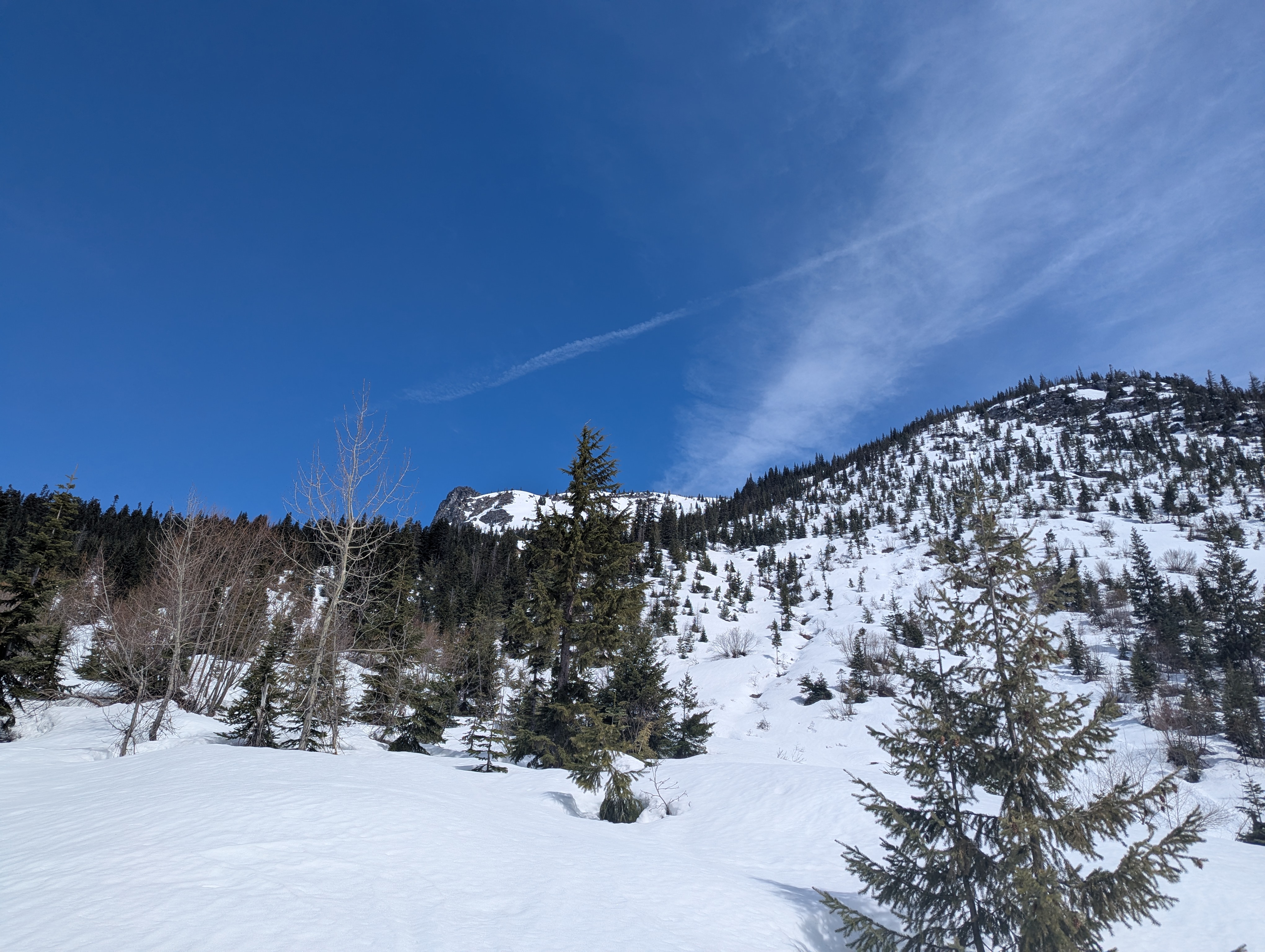
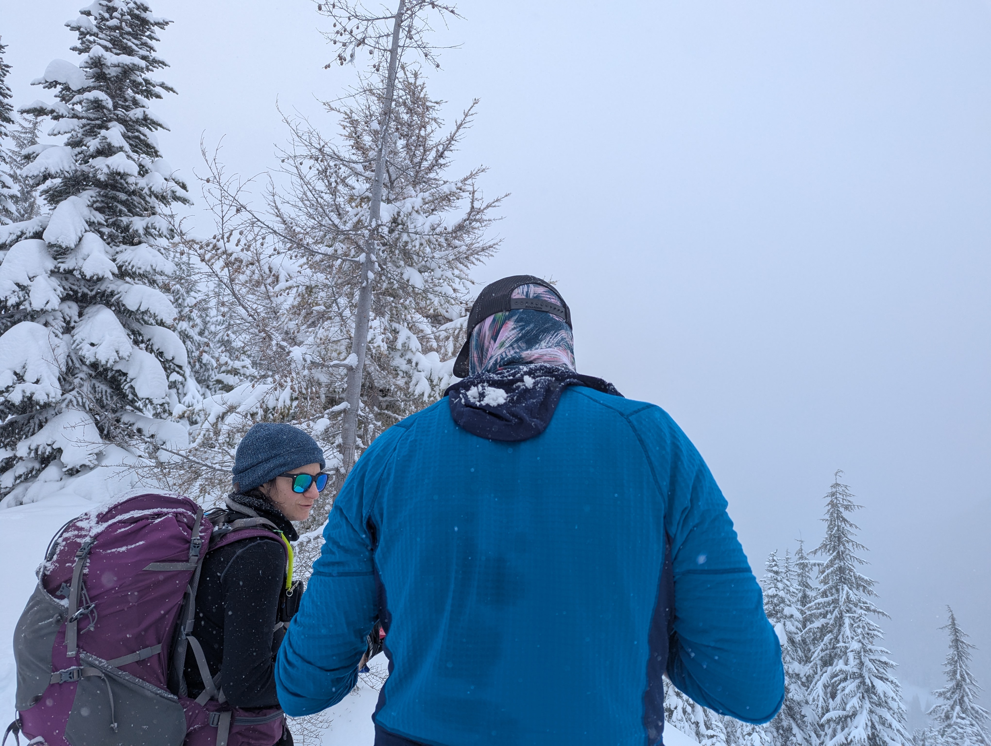
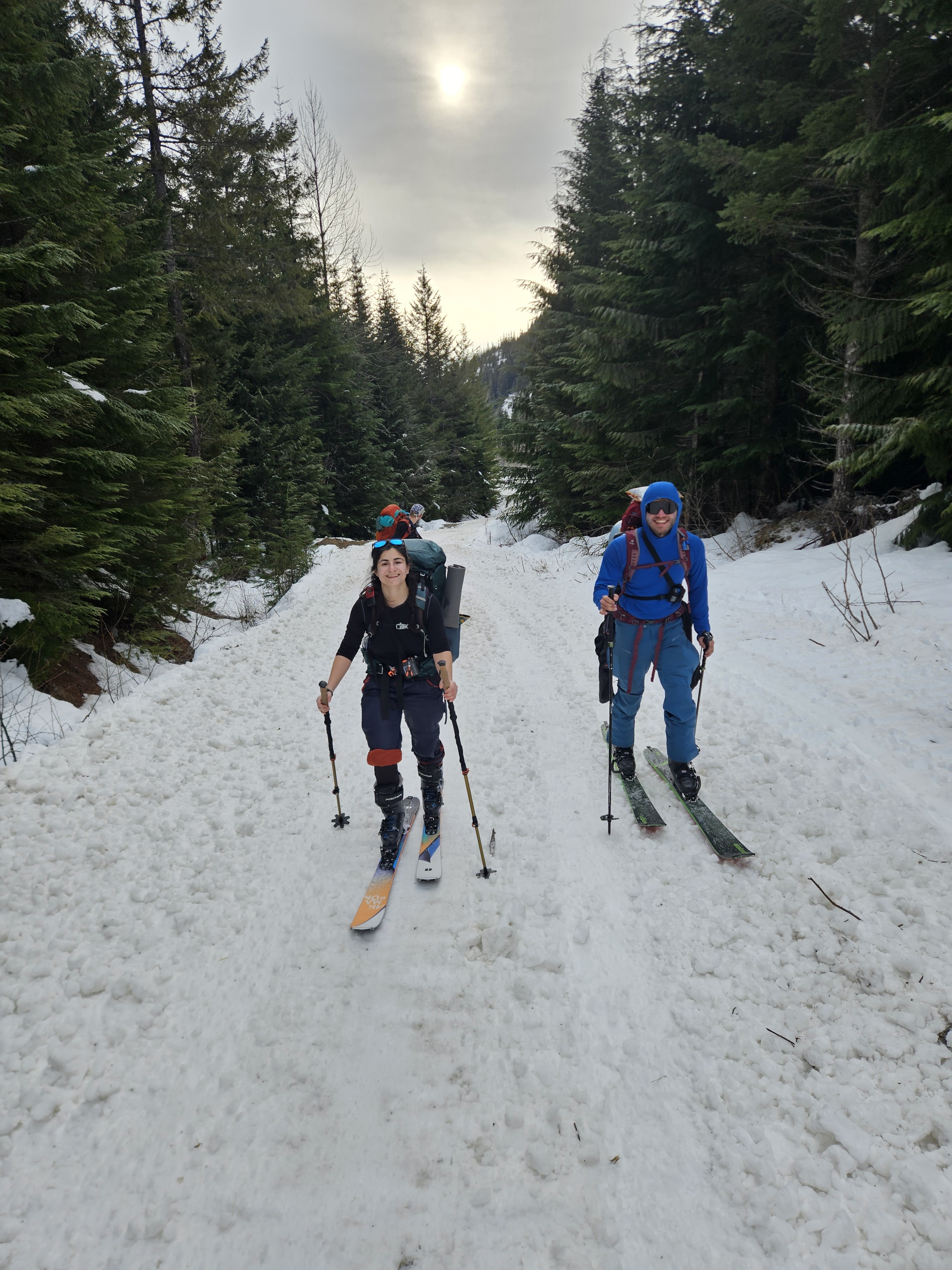
]]>Linus KoepferTurnaround and Redemption on Lichtenberg2025-04-15T00:00:00+00:002025-04-15T00:00:00+00:00https://linusoutside.com/2025/04/15/lichtenbergAfter spending most of March resort skiing with my family in Salt Lake City, I was back in the Pacific Northwest and itching for some touring. Henk, Anna, and I decided to take a day off work and try to get on top of Mt. Lichtenberg. We optimistically dropped a car off at the Yodelin Parking lot, and then headed over to Rainy Creek Rd (NF 67) to begin our tour.
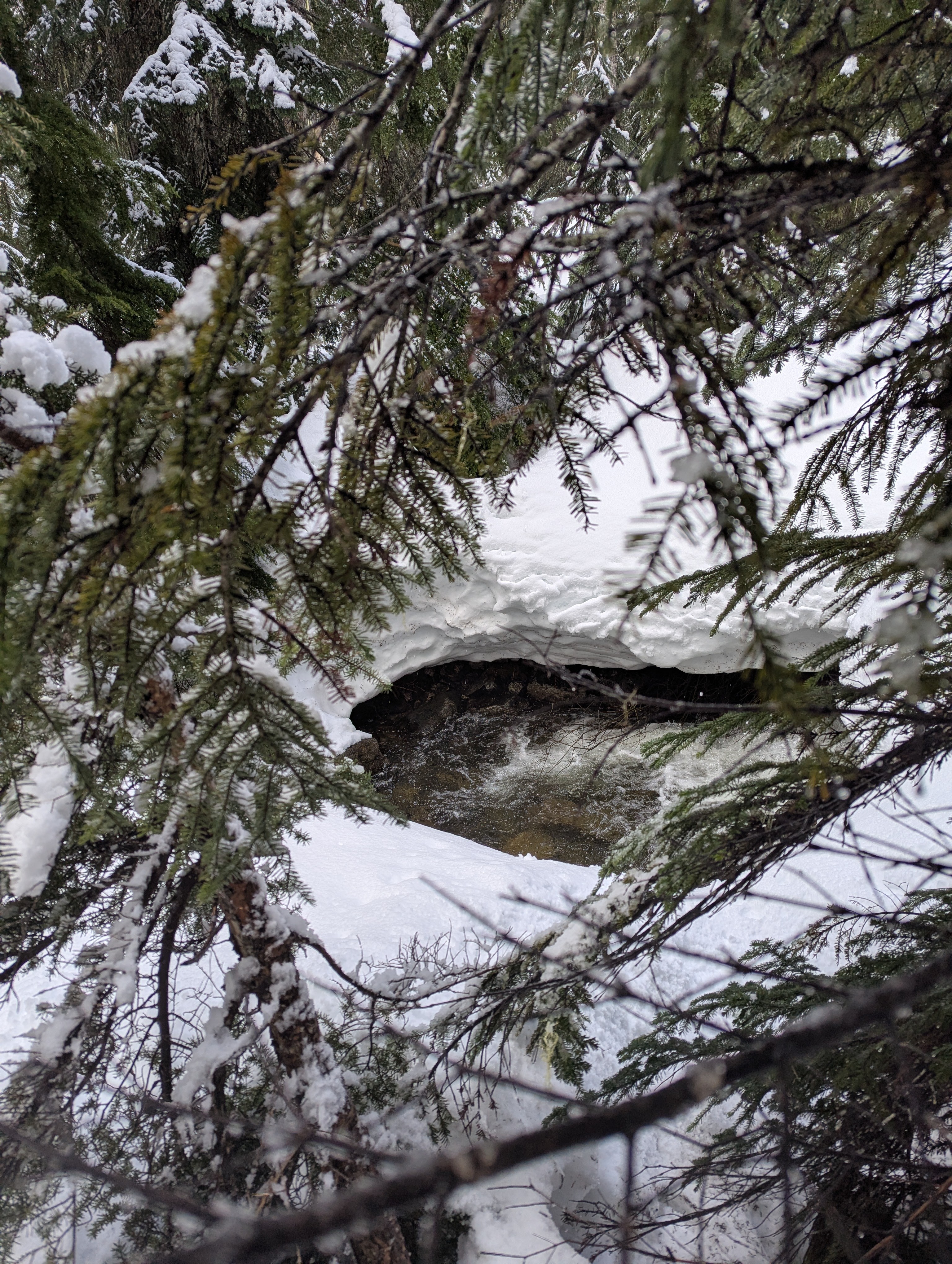
We left the road at the first switchback, and spent some time hunting for a snow bridge over Smith Brook
Not huge, but big enough to want to stay out of
After finding a relatively safe crossing, we continued upwards, picking our way through the forested low-angle terrain. As the day progressed, we started to feel and hear signs of warming…
Anna assessing our path
It was already 11am, and we were facing a steeper (35-45°) section of terrain. The day’s avalanche forecast warned of wet loose avalanches, the trees around us were shedding snow at a noticeable rate, and the snow beneath our feet was definitely wet. So we turned around, and spent the afternoon in safer terrain at Yodelin.
Turning around in the mountains is always a tough choice, and far smarter and more experienced people than I have written far more interesting things about it. But given the obvious red flags and the experience level of our group, I think it was the right decision.
Back for revenge
Warming continued for the next several days and I went running instead. But then the days got (slightly) colder, and the nights got (more than slightly) colder, and Henk and I went back for round two. With the week’s minimum temperature the previous night and an earlier start than our last attempt, we took advantage of our previous snow-bridge reconaissance and made it to Lichtenwasser Lake by 9am.
Henk about to cross the lake
We crossed the lake and proceeded uphill uneventfully. The terrain steepened, but it was still early in the day and, now at higher elevations, we saw no concerning signs of warning, although there were a few wind-loaded pockets to avoid.
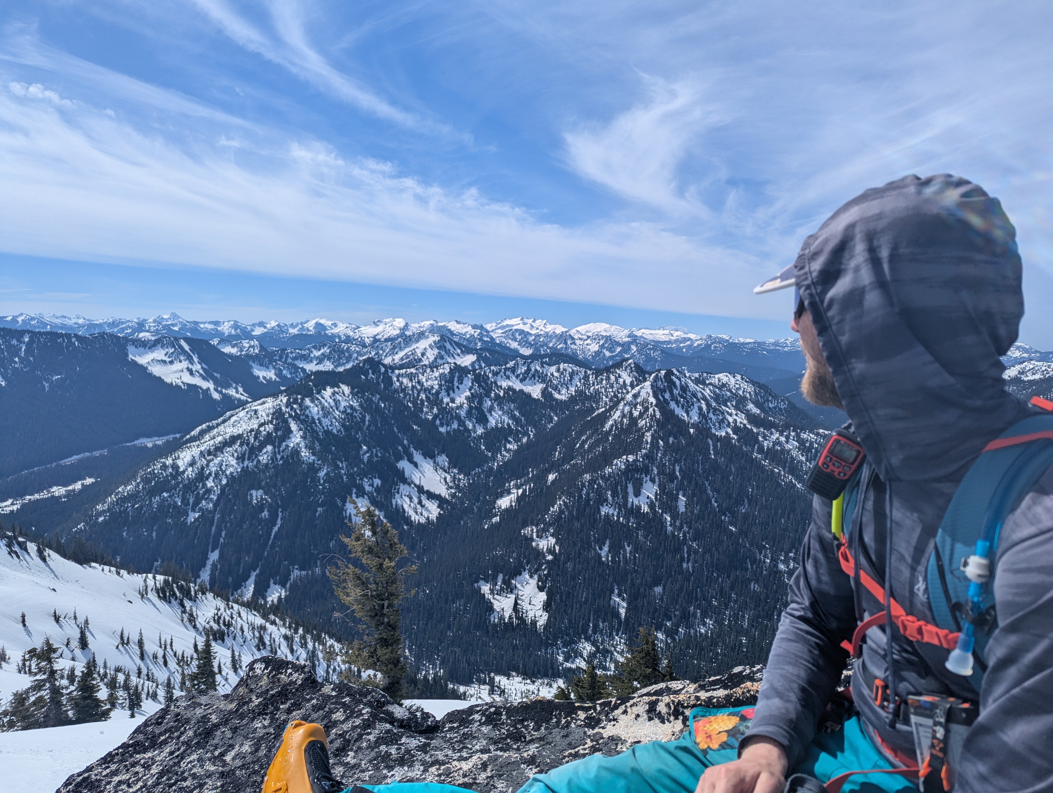
We reached the East Peak around 10:30 am. The snow was quite firm, and required careful edging to descend the summit ridge Northwest towards the main peak. With some downbooting and cornice-avoidance, we reached Lichtenberg Mountain shortly after 11, and enjoyed the blue skies and clear views.
Summit views
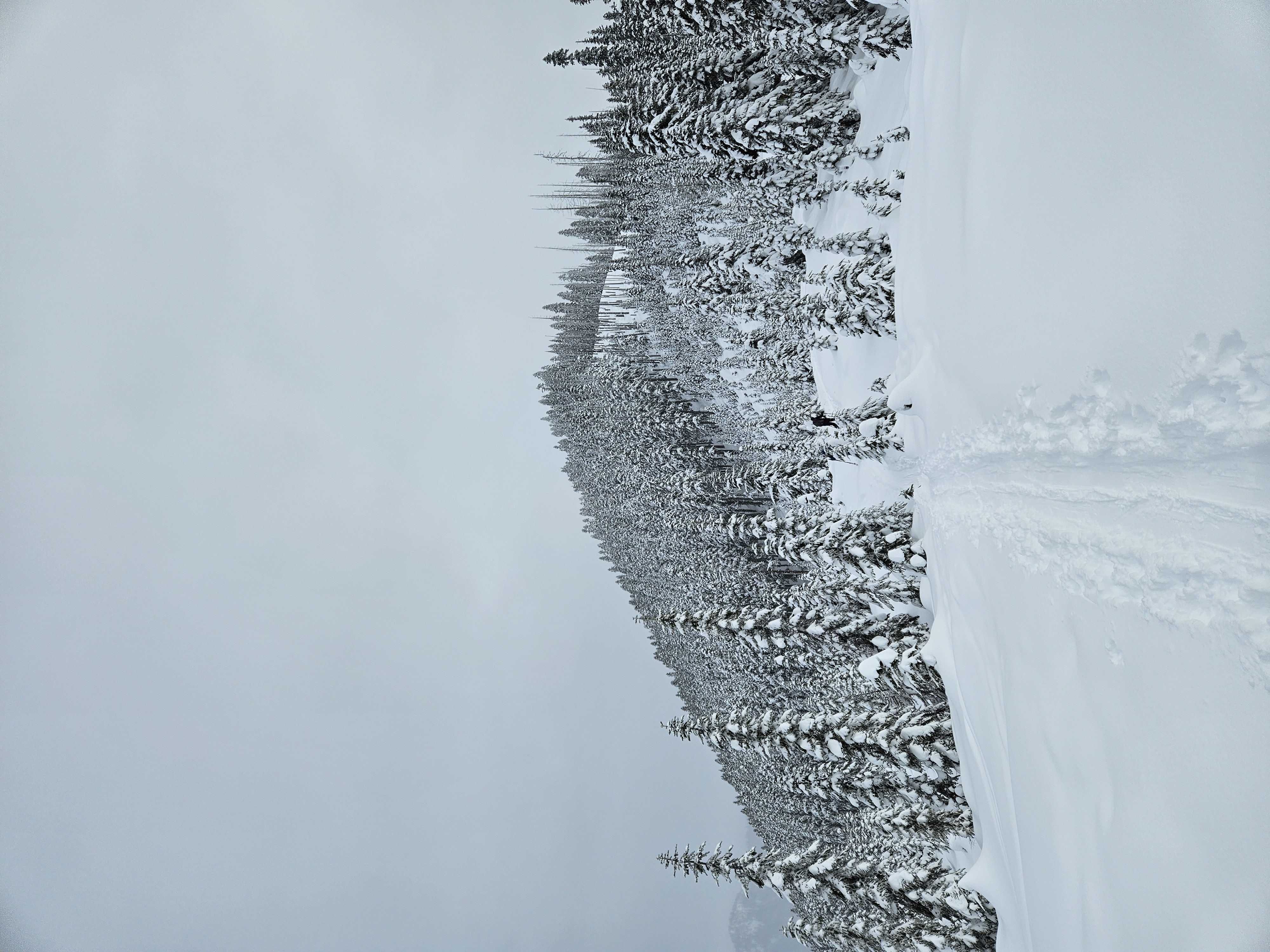
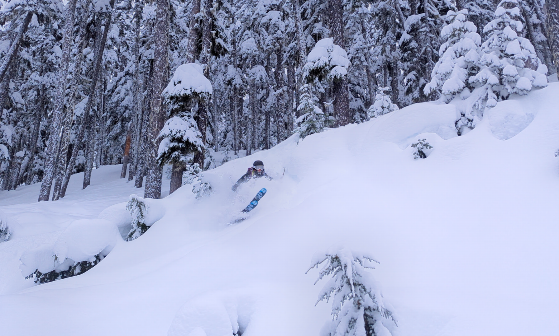
We didn’t linger too long, and enjoyed some lovely corn and wide trees coming down off the summit. By the time the snow started to feel soft, we were back on low-angle terrain on our way out. We did see the remnants of a moderately sized wet loose avalanche on the way out, likely a few days old, but good confirmation on our decision to turn around the previous week.
Looking back at whence we came
From there it was a mix of skating, skinning, and walking on flat terrain; doing our best to avoid disturbing the various residences scattered along the outtrack. My ill-fitting rental boots certainly didn’t help (my ski boots were in the process of getting warrantied due to a crack in the shell), but we made it to the stashed car by 1pm, satisfied with some pretty decent skiing for a warm April.
]]>Linus KoepferTrail Running Ancient Lakes2025-04-12T00:00:00+00:002025-04-12T00:00:00+00:00https://linusoutside.com/2025/04/12/ancient-lakesWith warming weather making for less-than-ideal touring conditions, and already finding myself at the Nason Creek Rest Stop on the other side of Stevens Pass, I decided it was time to start running again. Ancient Lakes is a popular backpacking spot due to the mild weather and easy access, but I wanted to start getting in shape, so I decided to do it in a day.
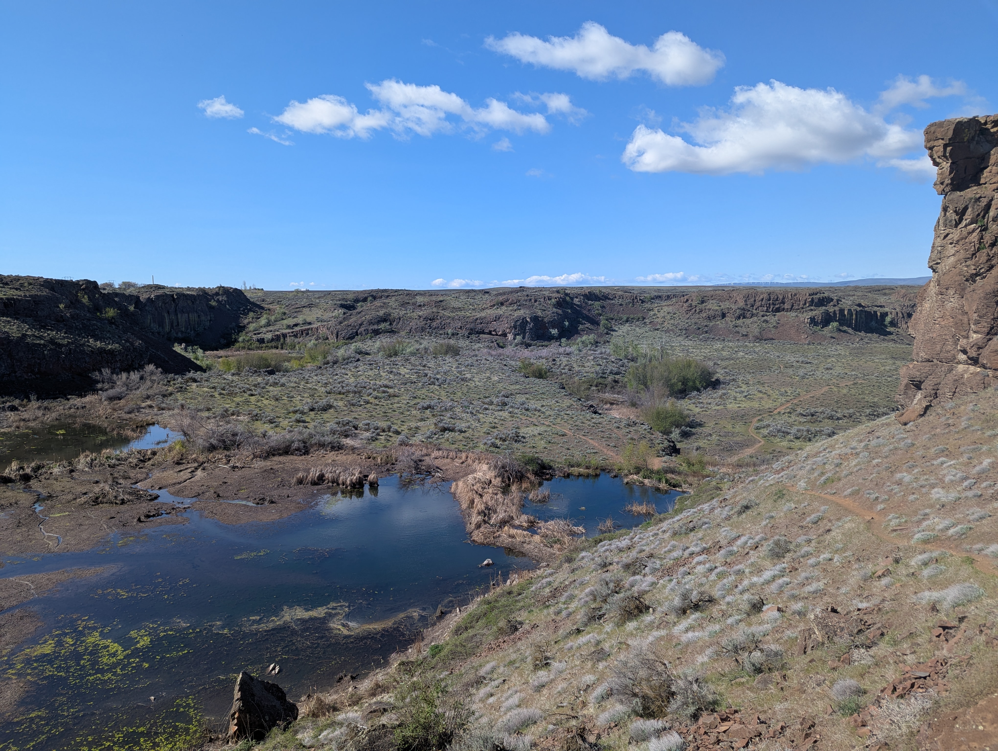
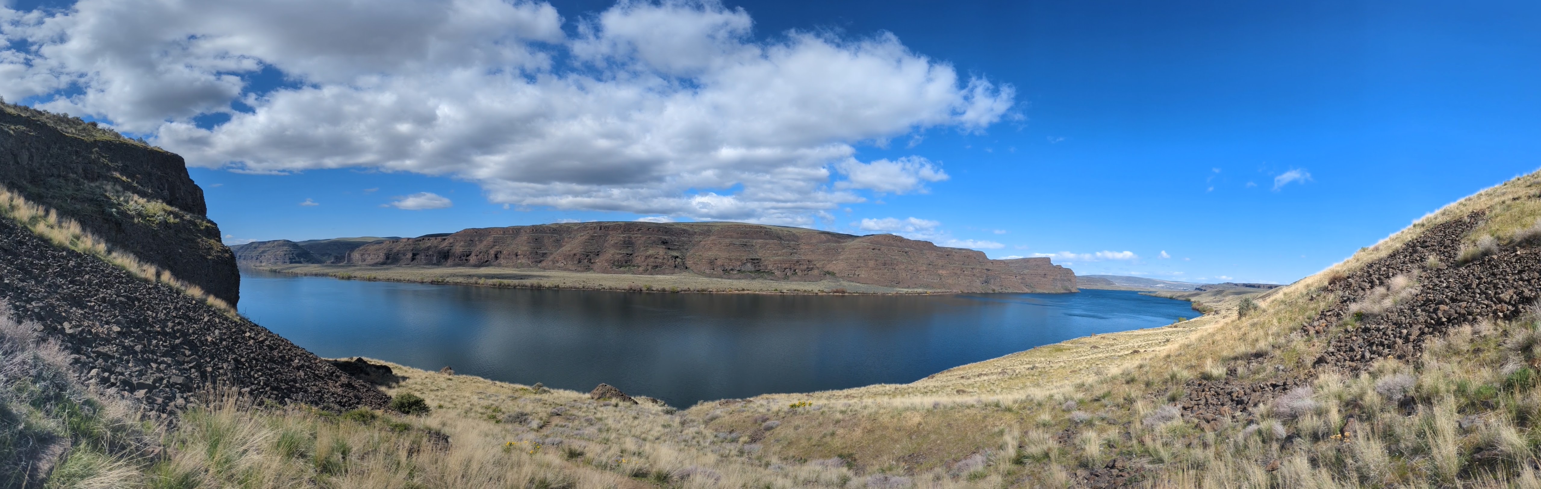
After enjoying the area’s dispersed camping the night before, I set off for a lazy 10am start. I quickly dropped into the lower basin - the area’s glacial history has created a series of lakes in the “Pothole Coulee”, and although the first lake I saw was rather unimpressive, I enjoyed the cruisy downhill singletrack and the snow-free terrain.
I always enjoy seeing the trail laid out ahead of me
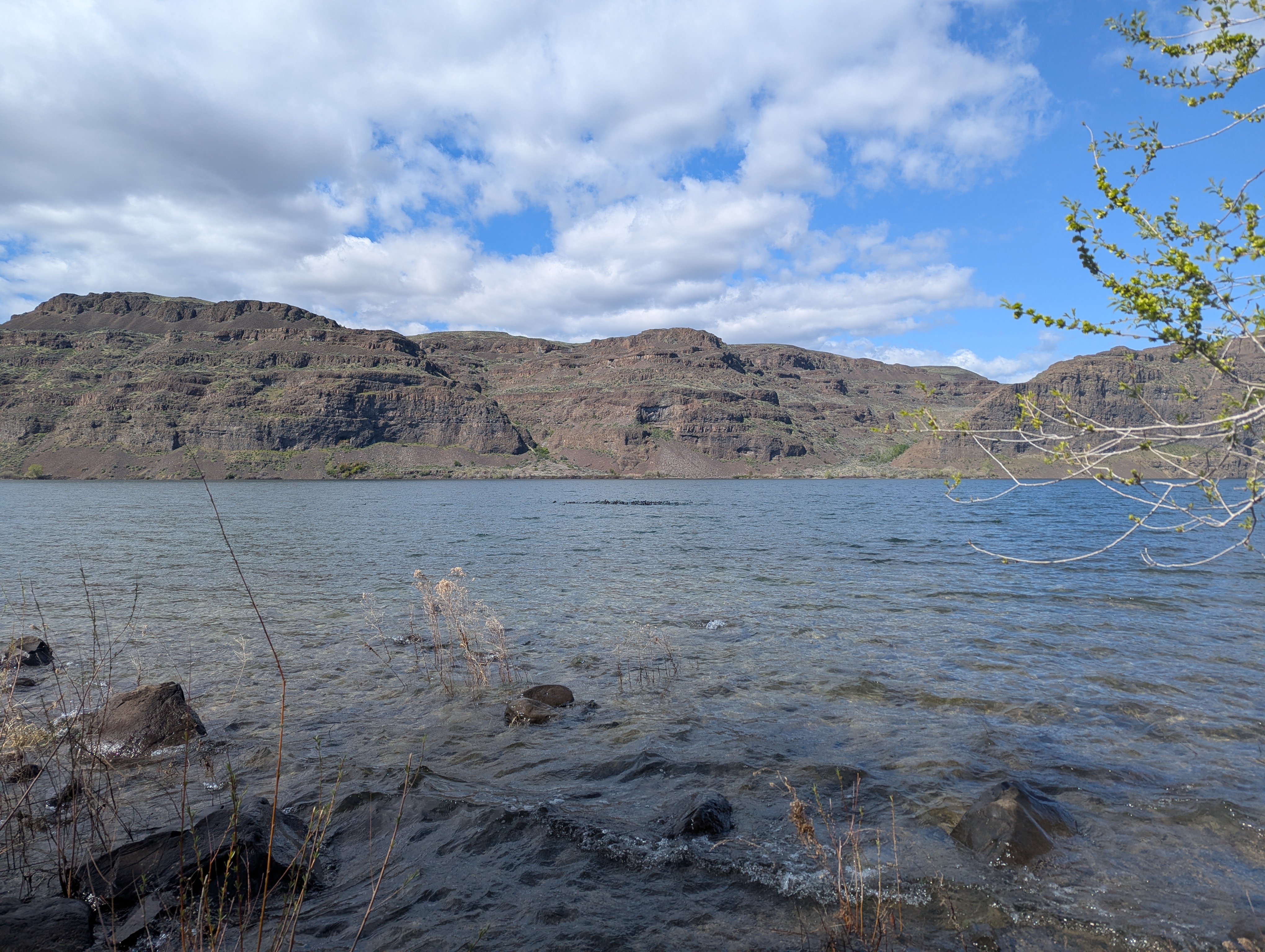
The next lake - Dusty Lake - was far nicer to look at. The trail itself however disappeared into the rocks at its edge and I got to practice my choss-running skills. I also saw someone on a small raft paddling around.
Better views, slower running
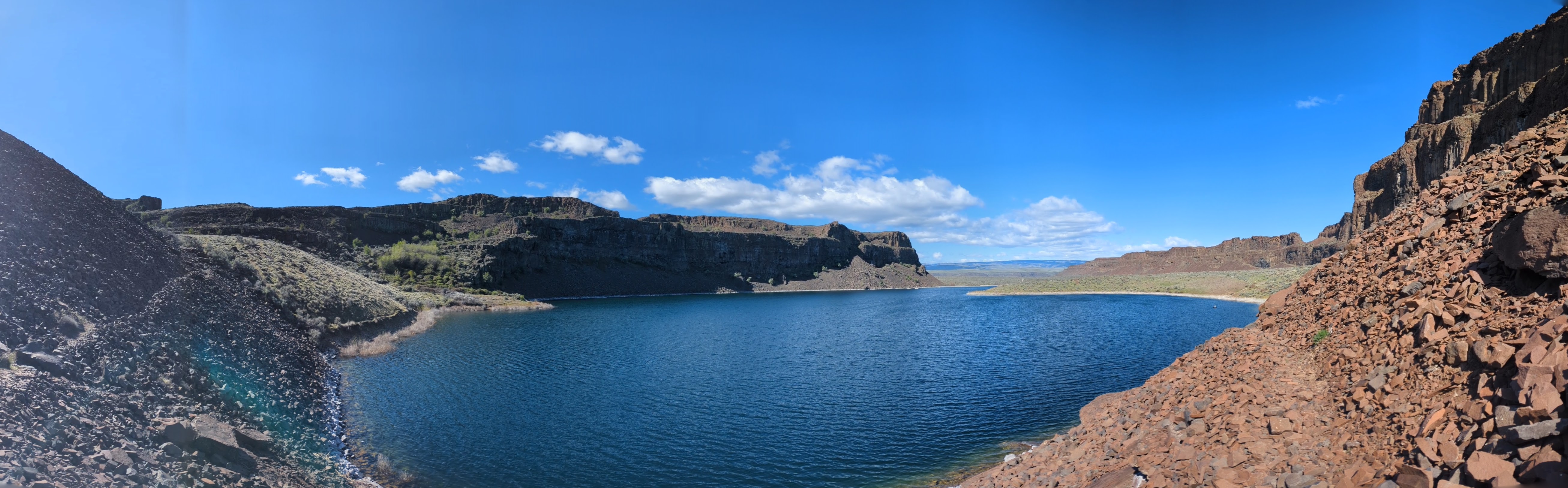
From there it was back on singletrack all the way down to the Columbia River. Unfortunately the various lakes along the route are full of agricultural runoff, so even with a filter this was my only chance to top off my water (although I’ve been told that the river itself is not much cleaner - I’m gonna say it’s at least more diluted, I personally did not experience any adverse effects).
Cruisin' - again with the trail laid out in front of meI always enjoy seeing the cliffs carved by the river
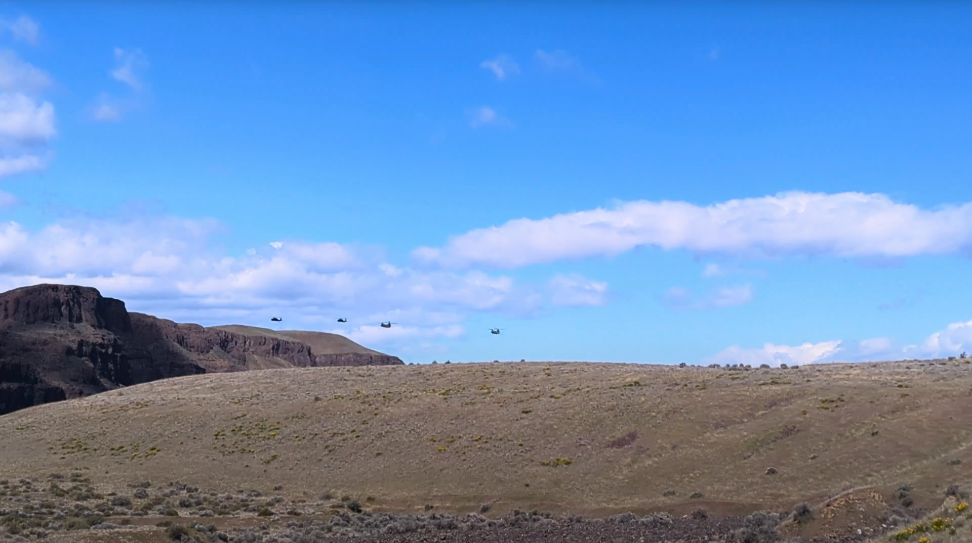
Water break views. Not great for immersion in nature, but watching the helicopters roar through the canyon was pretty cool
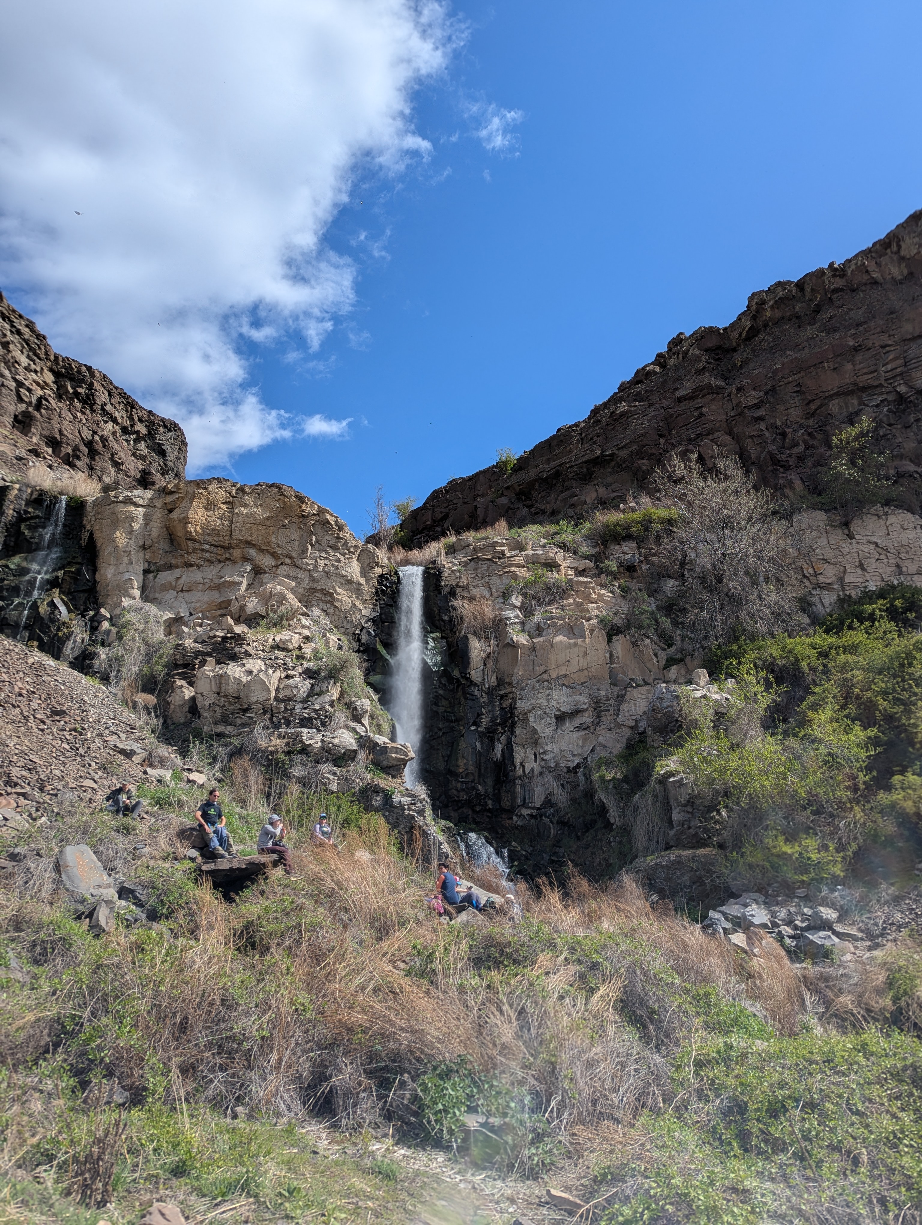
Then it was time to head back up. While I had had the place to myself thus far, this was where I started to encounter the crowds as I approached the more accessible lakes and a waterfall.
Everyone went chasing waterfalls - looked nice from further away though
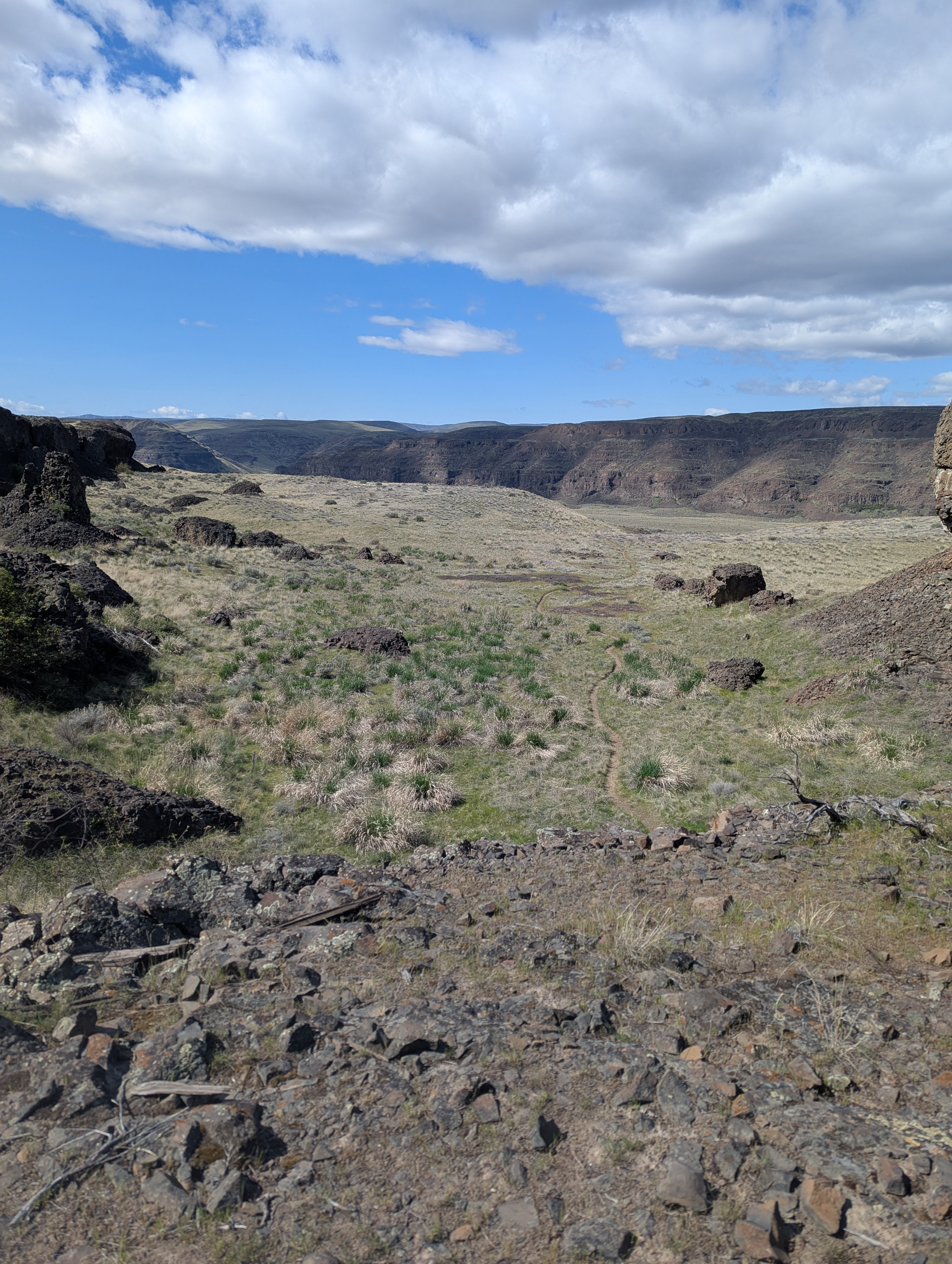
I found it hard to fully capture the scale of the landscape. A wide-open bowl, towering cliff bands, and no vegetation taller than your ankles blocking the view.
Doing my best to capture it all
I continued heading upwards, climbing out of the basin and onto the ridge whose base I had scrambled across around Dusty Lake earlier in the morning. Before I knew it I was back at the car, for a nice half-day outing and a good start to the running season.
Pothole Coulee is a fitting name
]]>Linus KoepferAssorted Low-Angle Washington Ski Touring2025-02-05T00:00:00+00:002025-02-05T00:00:00+00:00https://linusoutside.com/2025/02/05/touringI got my AIARE Level 1 in Februrary of 2024 and did some ski tours in the Wasatch that year. For the 2025 season I found myself in Seattle, and with Henk and Anna finally having done their Level 1 as well, we decided to get out there. Given the relatively inexperienced group, we stuck primarily to low-angle beginner terrain to build our skills.
Since the following tours are relatively short, this page is structured more as an overview of areas rather than individual trip reports.
Snoqualmie Pass
Kendall Trees
Park at the Summit West parking area (check online for current fees/reservation requirements), walk under the highway towards Alpental, and proceed up the PCT to Kendall Knob.
Henk and Duffy headed into the woods
I enjoyed seeing the stark difference between old- and new-growth trees as we headed up
New and Old on a low-vis day
From here it’s possible to drop South and get totally stuck in trees (I did this, don’t do this)…
Duffy less than thrilled by my poor line choice
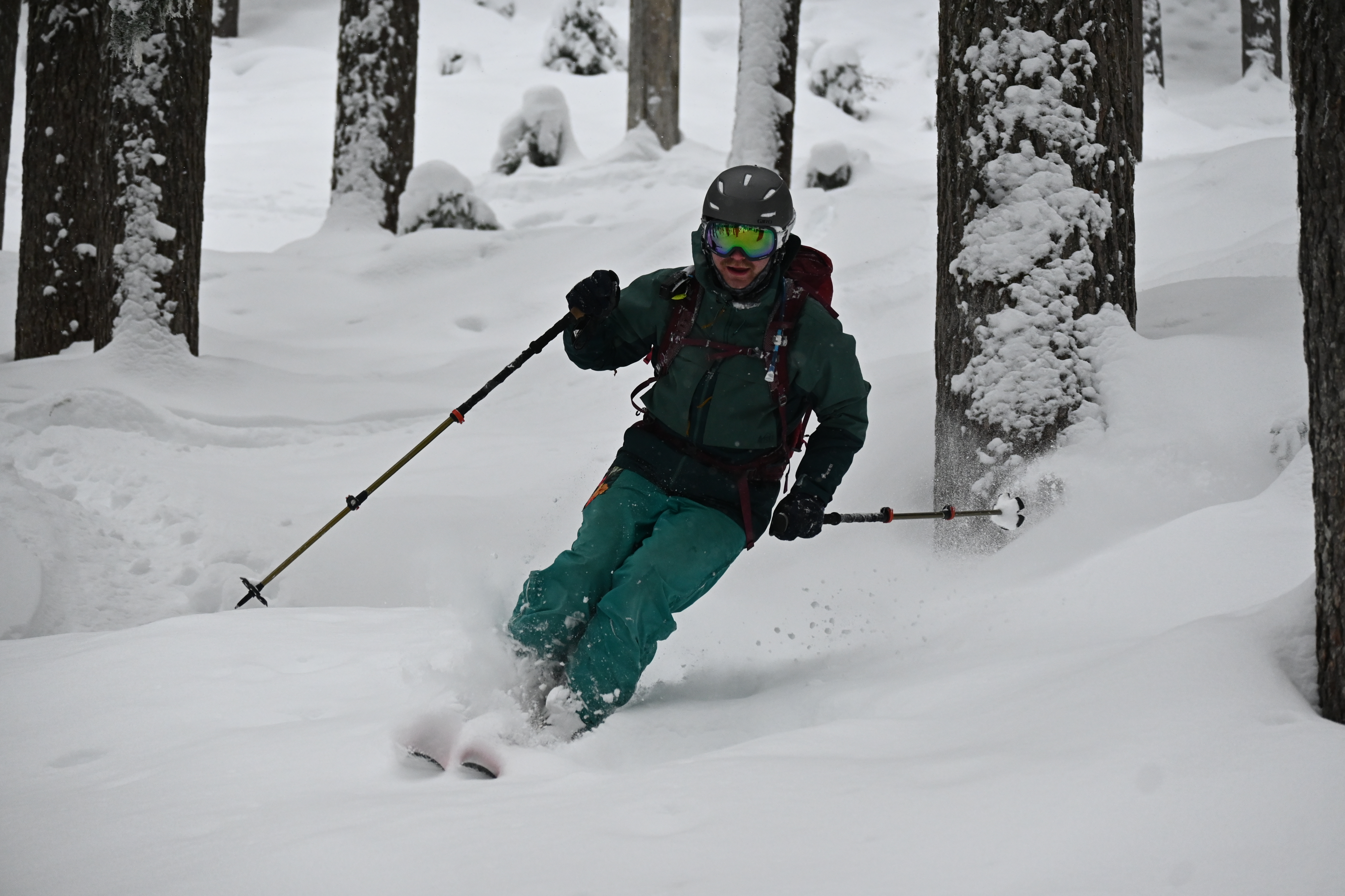
…Southwest back down near the skin track, or proceed along the ridge a bit and then drop North. We did the latter and found some excellent snow in open trees. This is a good section to lap, as the runs are relatively short - just watch out for other skiers.
Henk enjoying the tree runs 📷: Duffy
Avoid the cliff bands on skier’s left as you funnel downwards, then hook a sharp left and follow the luge track out. The well-worn out-track often required skating or side-stepping and may thus be difficult for splitboarders.
Uphill Track - My watch died after that 🤷♂️
Snoqualmie Resort Uphill Laps
If avalanche danger is high, you want to get some skiing in after work without paying for lifts, or you just want some good training laps on groomers to work on your fitness, Snoqualmie Pass offers uphill travel, including a moderately-well-lit path during nigh-ski hours climber’s left of the Silver Fir chair (although I would still strongly recommend a headlamp). This is probably the most accessible way to get some laps in on a weekday after work with your friends.
Stevens Pass
Yodelin
Park at the Yodelin lot and head East towards Mt. Weird. There is generally a skin track that goes up from the parking lot and around the back of the building, or you can follow the road on the right as you enter the lot. After a few switchbacks you’ll hit a wider road, a long U-turn, and then several more switchbacks. Look out for the large concrete block (I’m guessing this is a remnant of the ski area that used to be here), and continue up onto the ridge.
Duffy and Anna deciding on the route
From here…
For a high-point and some nice turns in barren trees, continue East-Northeast towards Welldigers Ass. I assume there’s more skiing to be had this way, but given our group’s experience we turned around at the top of the burn scar and rode back down the ridge.
Looking up the ridge. There are nice open turns to be had in the barren trees, or tighter runs if dropping left.
For some nice laps and tree-skiing, drop left (North) off the ridge snaking through tight trees until you get to old growth. A convenient shelf above the steeper pocket below makes for a nice transition and a quick skin climber’s right back to the ridge. Some maps refer to this area as Center Bowl/Silver Fir.
A nice little drop at the end of the lap
Once you’re done lapping the bowl, or for the quickest outing, return back down the skin track, cutting straight down on some of the longer switchbacks.
Quick up-and-down
The route described above - out-and-back on the ridge, center bowl laps, back down the skin track
]]>Linus KoepferBrew Hut Ski Trip2025-01-18T00:00:00+00:002025-01-18T00:00:00+00:00https://linusoutside.com/2025/01/18/brew-hutThe Brew Hut is one of the four huts maintained by the University of British Columbia’s Varsity Outdoor Club. More information about the hut and its history is available here
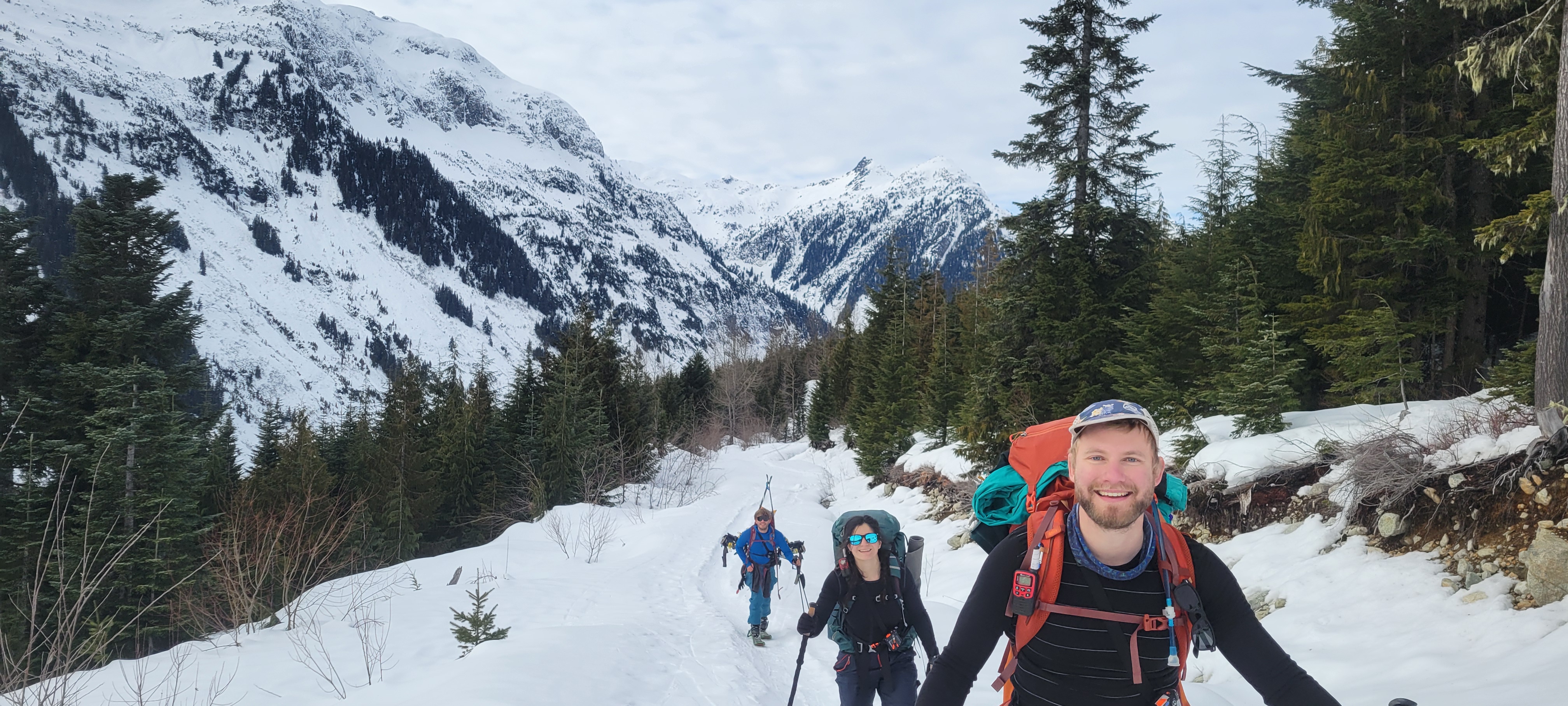
My friends Henk and Anna had planned a trip to the hut with some friends they made hiking the PCT, and invited me to come along. Since we all had Monday off for MLK Day, our plan was to spend Saturday getting to the hut, do some skiing on Sunday, and then head back out Monday.
Day 1: Up we go
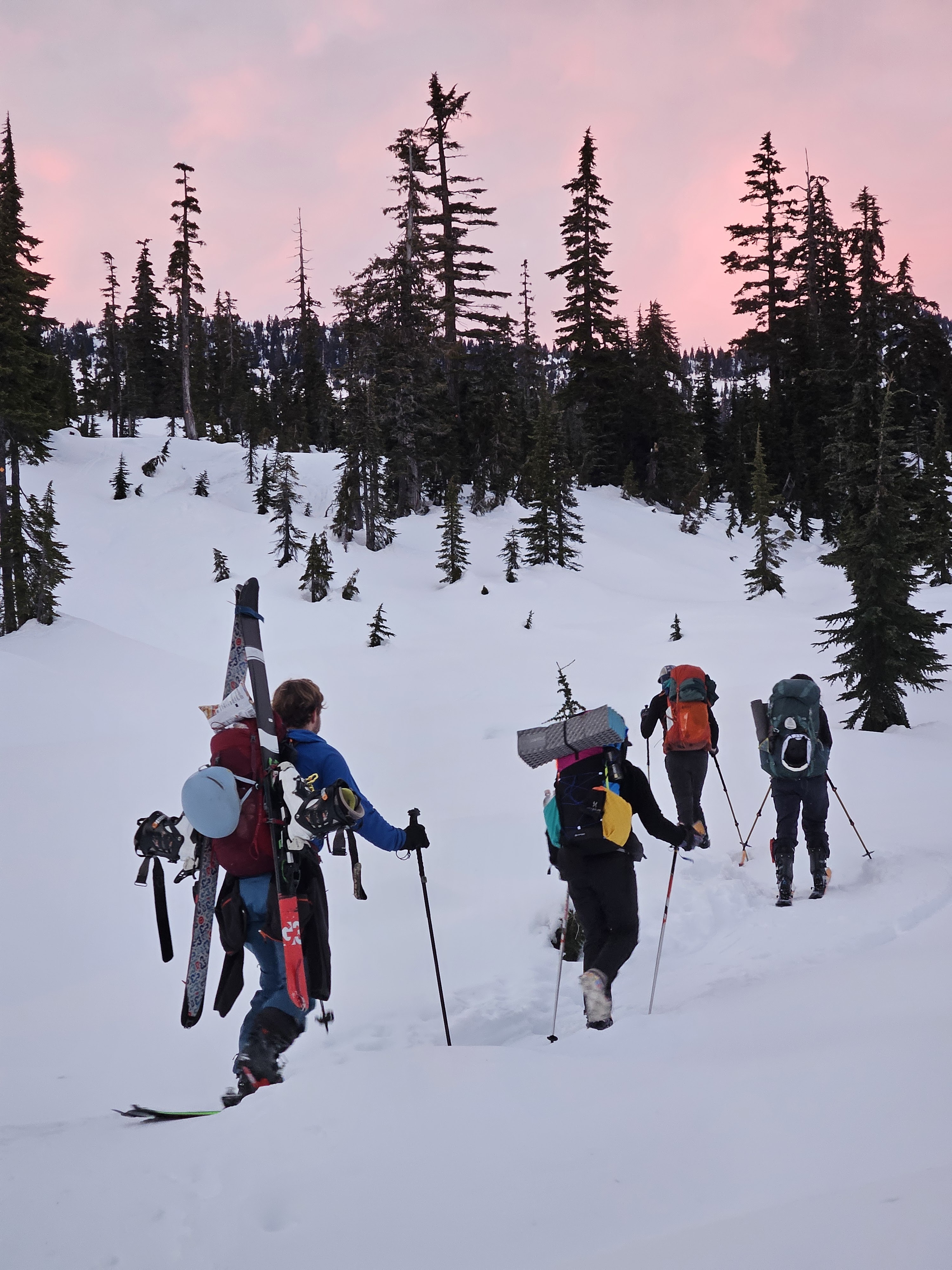
After collecting more friends along the way, a quick night in Vancouver, an unexpected coolant leak from the van foreshadowing, and some chain-based shenanigans on snowy forest roads, we hit the trail around 10:30am.
And we're off! 📷: Tippy-Top
The first two miles or so were on a forest road, making for relatively quick progress. Other than one group on snowmobiles we had the trail to ourselves, and decided to stop for lunch before turning off the road.
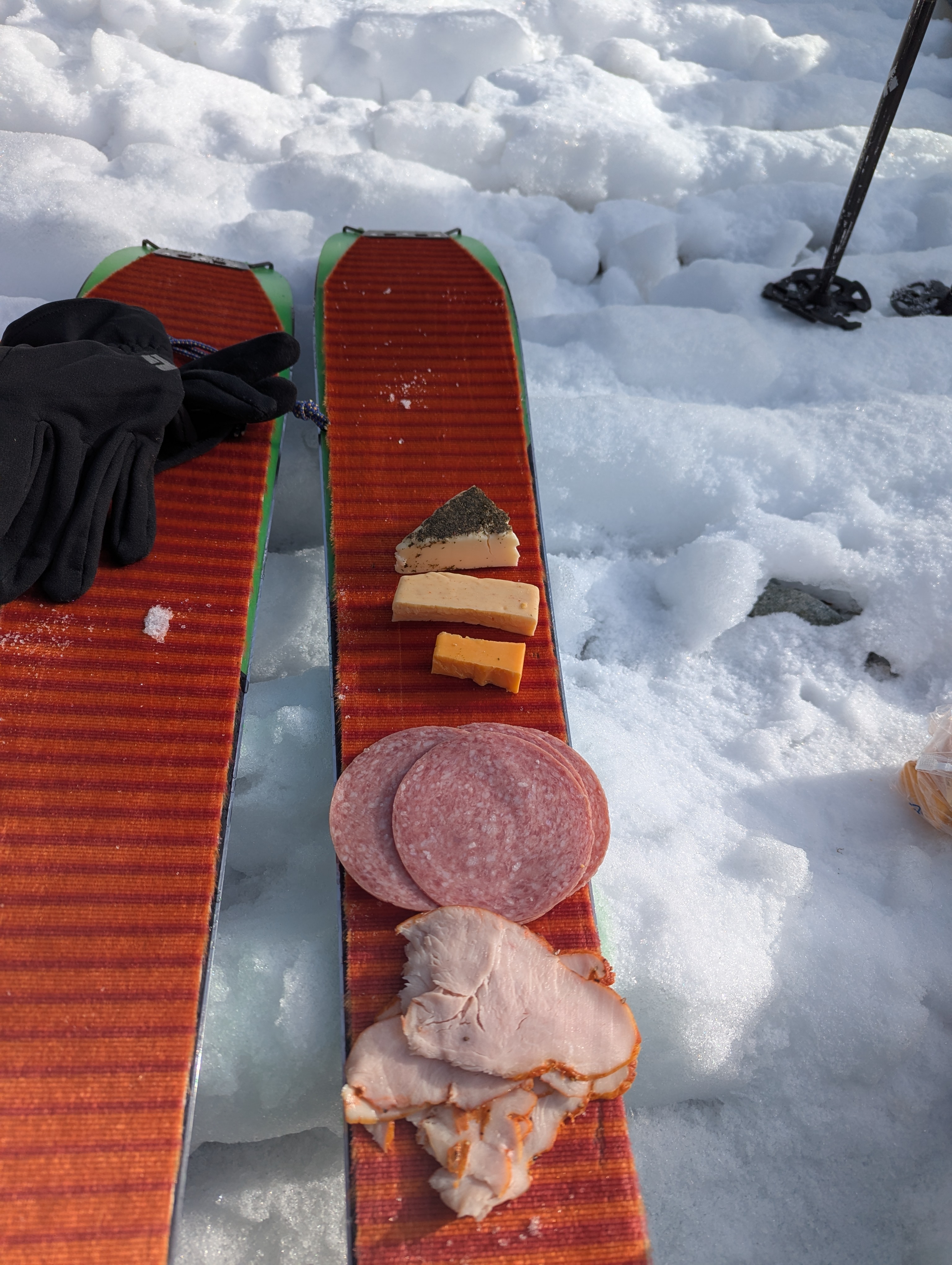
Charcuterski
As we progressed up the trail, Lizard began struggling with her poorly fitting borrowed skis and boots, and the group decided it would be more efficient for her to proceed on foot. This led to some interesting gear setups:
Who said you can only ski one pair at a time 📷: Tippy-Top
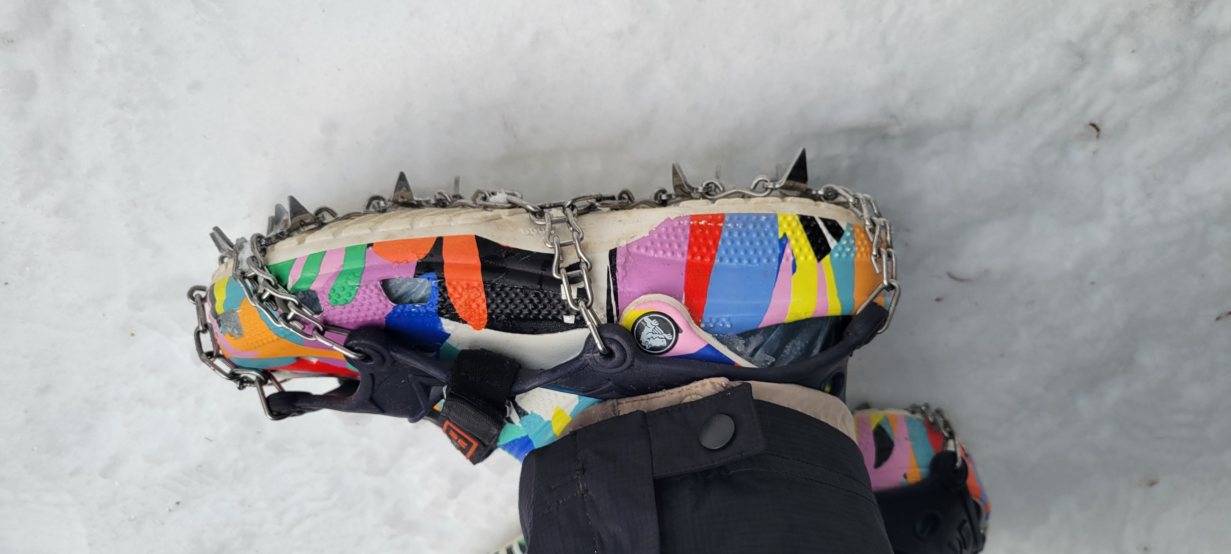
But given that the snow was quite firm, turning into ice in the treed sections, those of us without ski crampons probably ended up struggling the most
Potentially the best footwear in the group for the conditions? 📷: Lizard
The sun began to set as we continued up, making for beautiful views.
📷: Tippy-Top
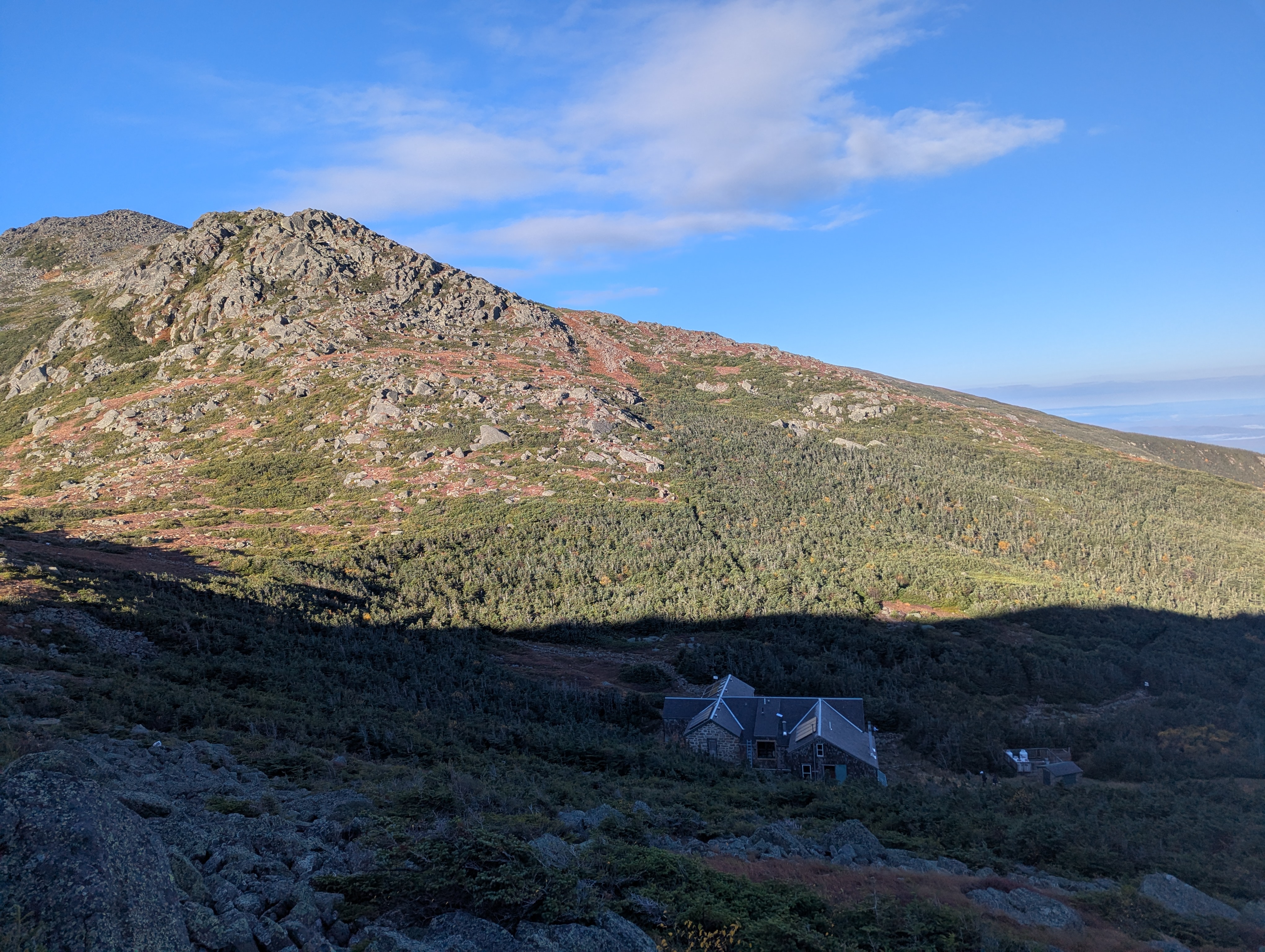
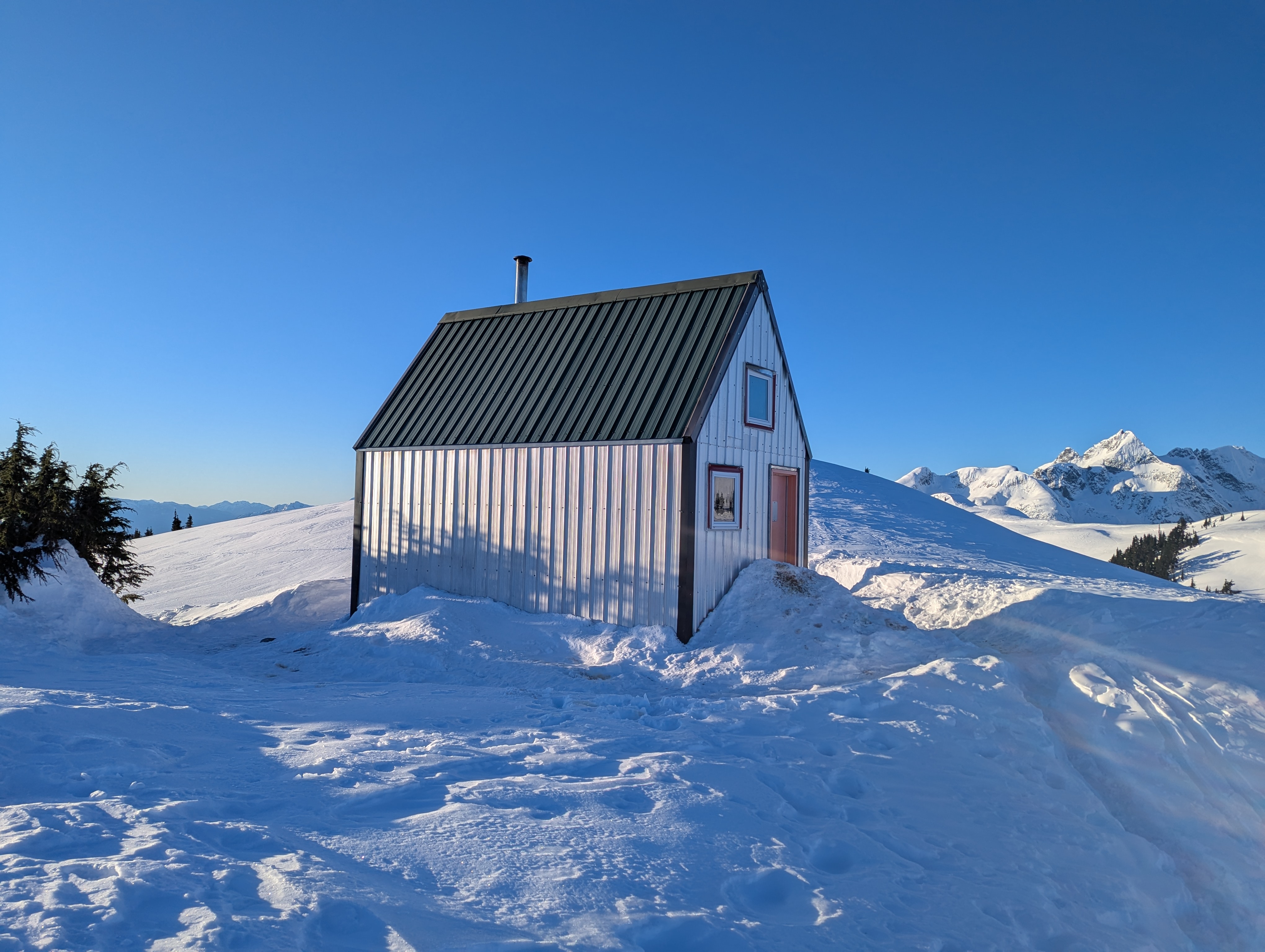
I refused to turn on my headlamp, walking into the hut around 6:40pm asserting we had made it before dark. Although over 20 people had self-registered on the hut signup page, we were met with only one other group of 4. They had already started melting some water, and we sat down together for dinner before crawling into our sleeping bags for an early night.
Day 2: Skiing and a Treasure Hunt
We woke up to beautiful clear skies, and the other group in the hut soon left back for their cars. Tippy-Top as our experienced local relayed to us that the club that maintains the hut had helicoptered in some firewood, but had been unable to stash it in the woodshed before the first winter storm. With a rough idea of where it had been dropped, we decided to spend our morning doing some probing and digging - good practice for those of us in the group newer to backcountry travel and avalanche rescue.
My first view of the hut in daylight
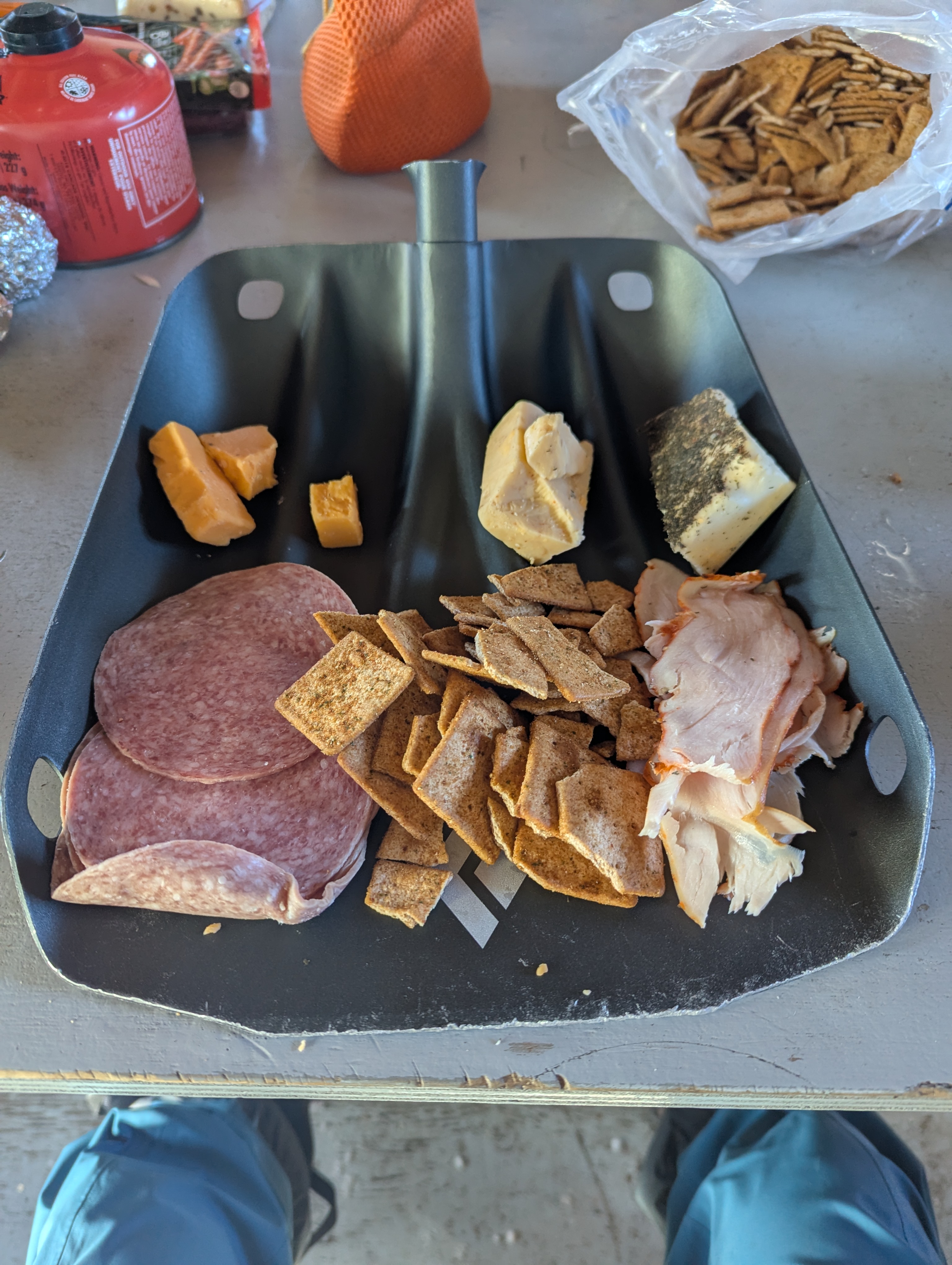
We had a quick lunch
Charcutershovel
Then at last it was time to ski!
Anna making fresh tracks
We started with a mellow warm-up down to East Lake, and brought a hatchet in case we found some moderately-accessible running water, which we did:
Better than melting snow 📷: Tippy-Top
And then went for a longer lap on the aptly-named “Doorstep Run”, going almost fully down to the lake Northwest of the hut.
Heading back up to our doorstep 📷: Tippy-Top
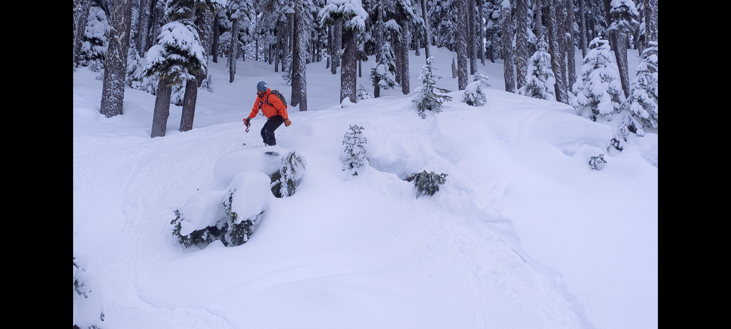
Tippy-Top and Anna headed in, and Henk and I decided we had the appetite for one more lap. We headed over to one of the coluoirs South of the lake, and even with less than ideal snow conditions had a fun descent.
We headed back up to the hut around sunset, comfortably following our skin tracks from earlier in the day. Henk’s skins started to fail, leading to some fun MacGyvering, as well as me touring with a second pair of skis on my back yet again as he bootpacked up the steeper sections.
Who needs tail clips anyways
Thus delayed, we made it back to the hut in the dark and excitedly dug into our dinners.
However, the day was far from over. For the good of future hut users, Tippy-Top convinced us to go out for yet another round of digging, and after adjusting our location based on some new updates he had since gotten, we finally struck gold… well, wood.
📷: Tippy-Top
This wood was a bit drier than the few logs we had found so far, and after some more “engineering” of a firestarter using wood chips and skin wax melted in the bottom of a beer can, we fell asleep to the relief of a crackling fire.
Day 3: Over and Out
We woke up the next morning and made preparations for our return home. Henk and I headed out a bit earlier, looking to check off another couloir, and with Henk using Lizard’s unused skins made a relatively quick lap before collecting our things and heading off to chase down the rest of the group.
Ski tracks from the two groups, and the skin track we came in on
Lizard once again made quick progress with her microspikes and had a nice nap in the van while the rest of us took a longer way around, hoping to get in a few more turns on snow rather than the icy treed bootpack. We arrived at the cars around 5pm, and headed back to Squamish for some well-deserved burritos.
This was my first hut trip, and my first tour of the season, and even with the gear and firewood issues I had a wonderful time. While the snowpack did not make for the best quality of skiing, it made for a very safe and approachable tour, well suited for our group’s experience level. I hope to visit the remaining VOC huts soon!
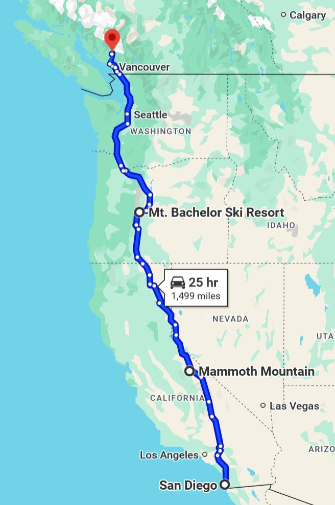
📷: Tippy-Top - thanks again for organizing and for all the great photos]]>Linus KoepferStarting off with a Road Trip2025-01-12T00:00:00+00:002025-01-12T00:00:00+00:00https://linusoutside.com/2025/01/12/starting-off-with-a-road-tripAfter the usual family festivities back East, I started my year in San Diego where I had been surfing before the holidays. The good news: I had a ski trip planned with some friends the following weekend. The bad news: It was in British Columbia.
Sick
Well - I had a whole week, so why not do some skiing?
Siiiick
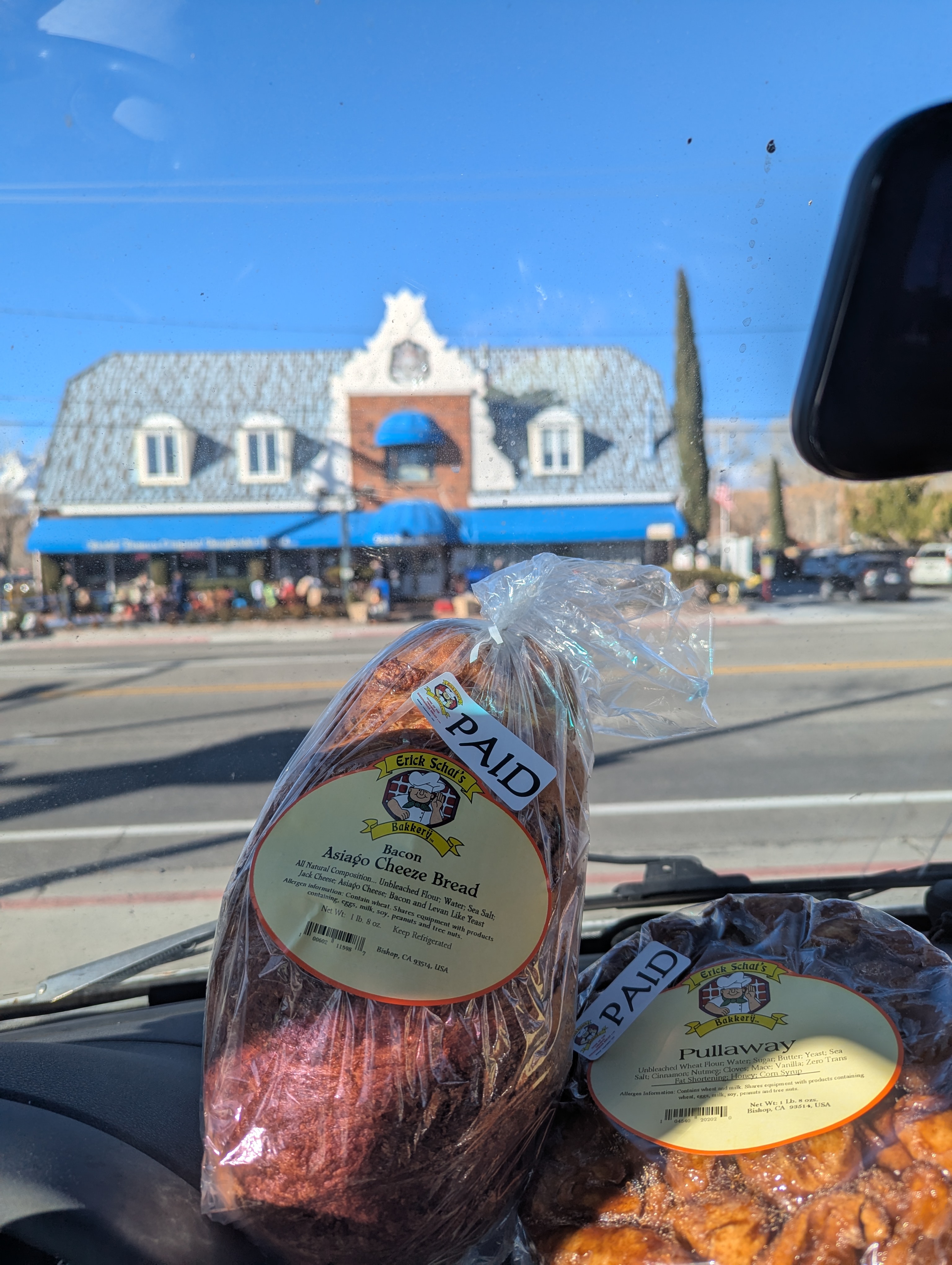
After the obligatory stops at the Eastern Sierra Visitor Center (bathrooms, water, cool info about Death Valley) and Schat’s Bakery Bakkerÿ (Bacon Asiago Cheese Bread and a Pullaway) I made it to Mammoth in time for an afternoon of skiing. It was… fine - I still haven’t had a true Mammoth powder day, even managing to pick the one week in the record-breaking 2023 season where it didn’t snow at all. I’ll get it some day🤞
Sierra Staples
Hope you weren’t expecting good photos from this blog… I’d say I’m working on it, but really I just take a bunch and hope some of them turn out okay.
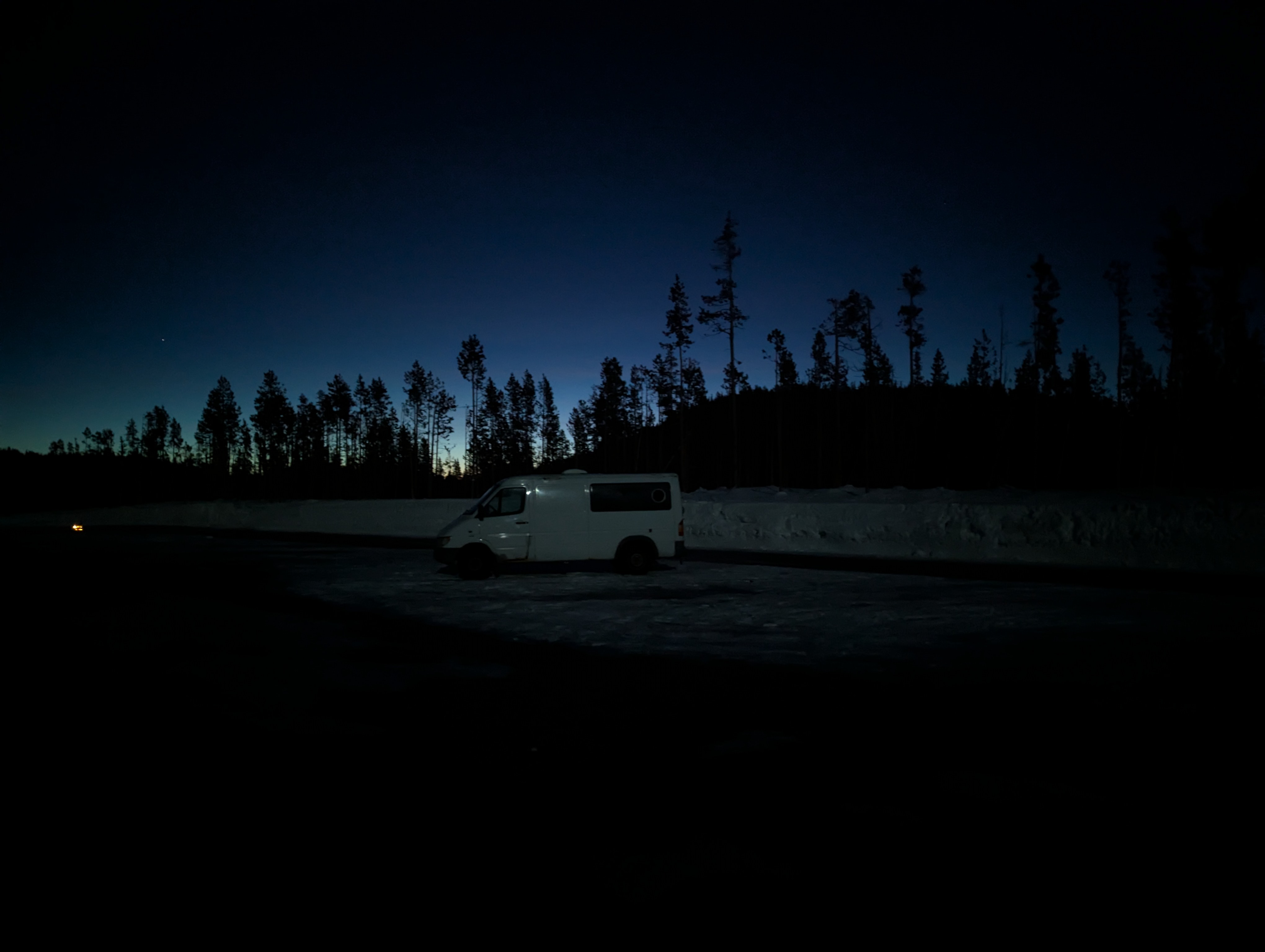
I considered a stop in Tahoe the following day, but given that I was back on the road by 4:00pm it seemed inefficient to drive only 3 more hours and post up for the night. I still haven’t skiied any Tahoe resorts either - on the list for 2026 I guess. I spent Monday driving and working (believe it or not I do have a day job), placing myself in the Mt. Bachelor Sno-Park Monday night.
#HomeIsWhereYouParkIt
While I maintain my snobbishness about Utah Powder, I’m a huge fan of the PNW’s accessibility for skiing out of a van. In Salt Lake you’re sleeping in some parking lot in the valley and in Mammoth you’re hoping there’s a plowed spot on the scenic loop or trying to sneak a spot in town. Meanwhile Oregon and Washington seem to have a public Sno-Park within 10 minutes of most of their resorts, well-plowed, with bathrooms, and permits are under $50 for the season.
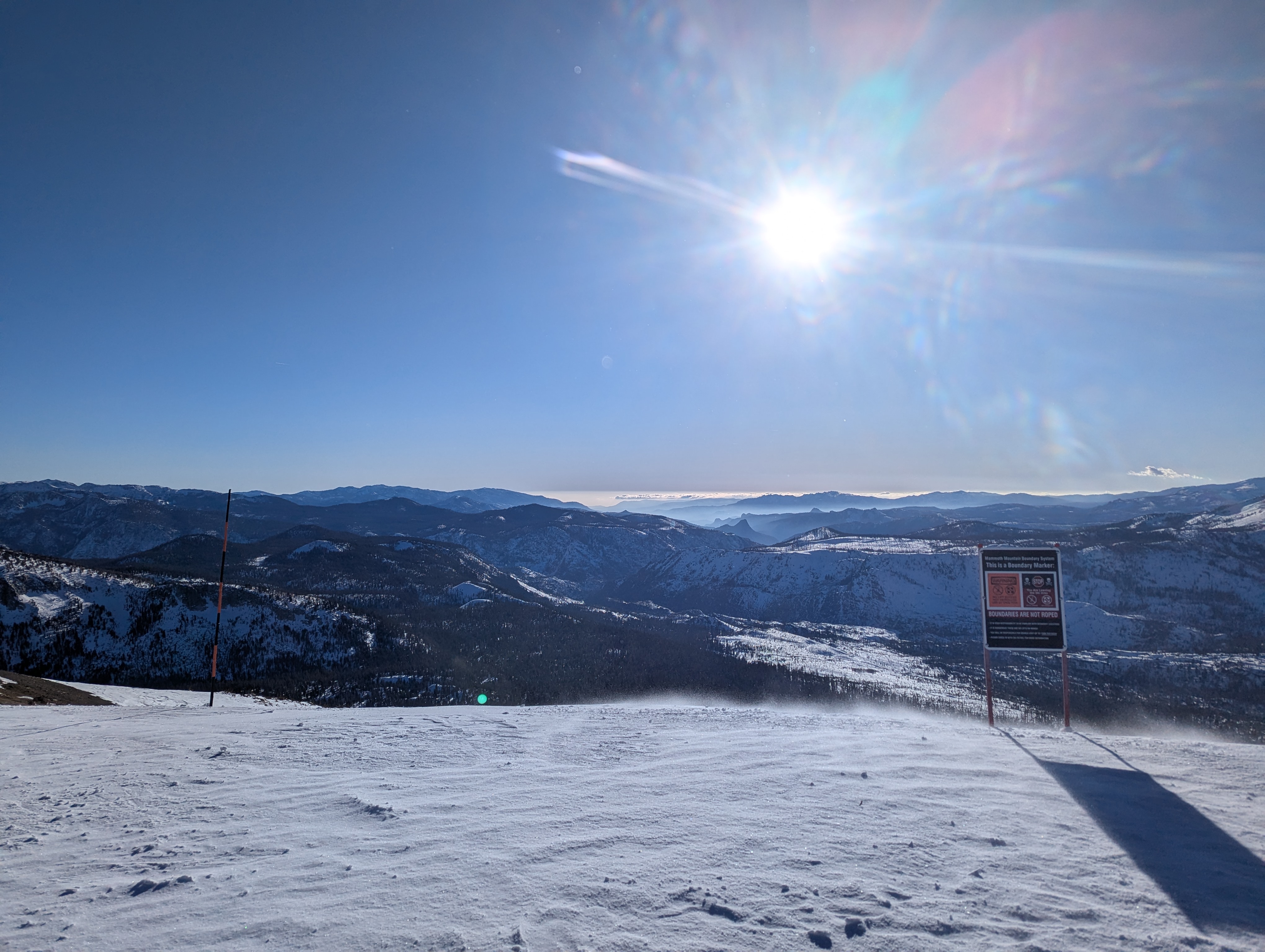
Mount Bachelor was super cool in terms of layout - my first time skiing a volcano, and being able to ski off the summit in any direction was incredible.
Views off the Mt. Bachelor Summit - while the true summit is a (closed) hike, the cat track off to the right in this image will take you all the way around the mountain
The snow itself was unfortunately once again sub-optimal. It was super interesting to experience the mountain’s temperature gradient - rock hard at the top and slushy at the bottom - but it made for a “good snow zone” of what felt like only a few hundred feet in the middle. I also really put my ski edges to the test recovering from a slip in an icy chute - one of my more memorable close calls of the season.
Windblown Ice - cool to look at, spooky to ski
From there it was a straightforward drive to meet my friends in Seattle, where I arrived Wednesday night (maybe I should have thrown in that Tahoe stop?). 1500 miles and two ski resorts in 4 days - not a bad start to the year!